Uphill
1111m
Length
16km
Duration
8h
Elev gain
1111m
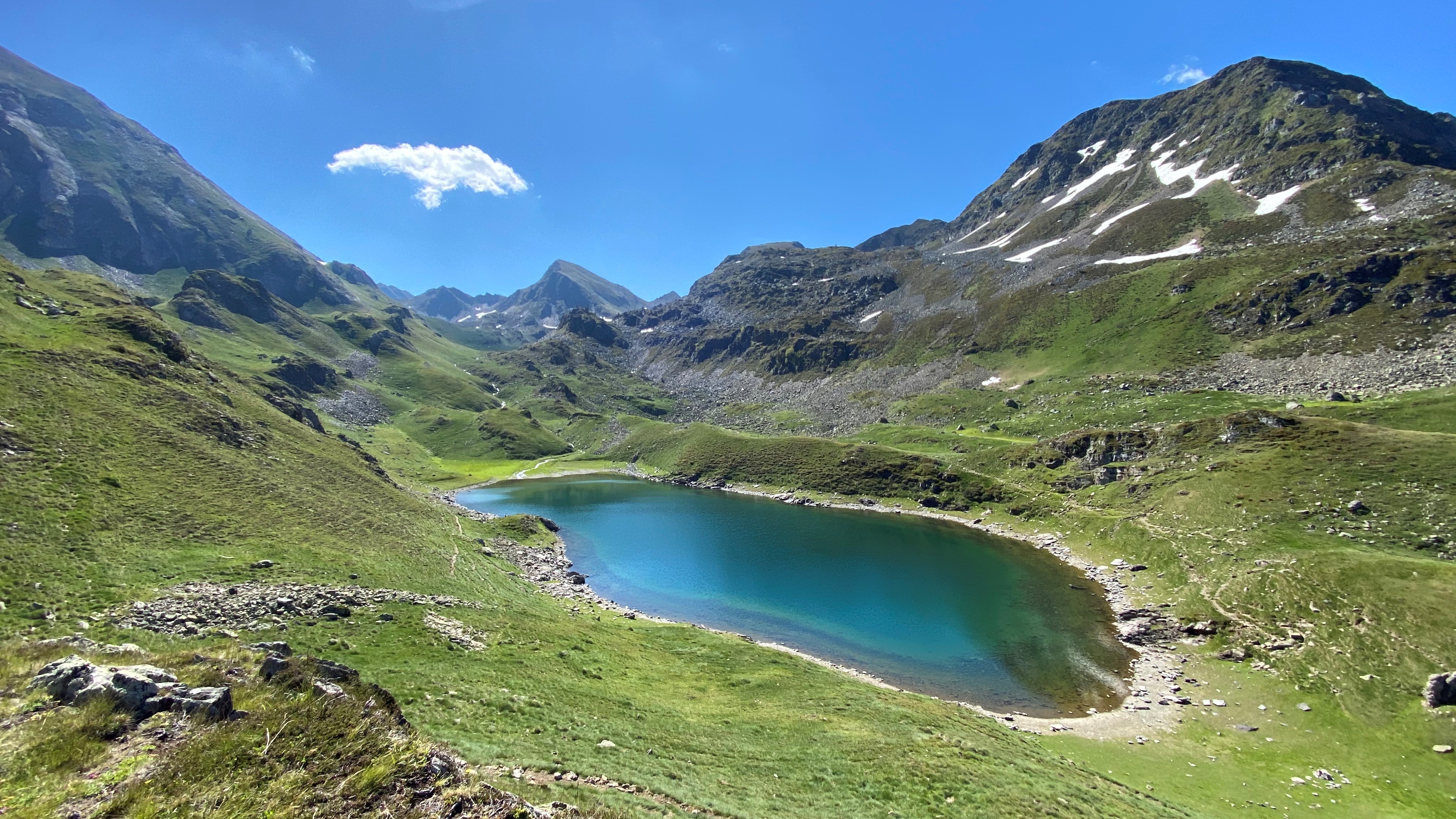
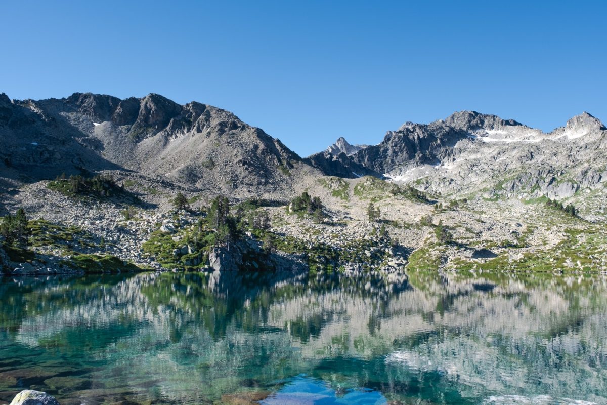
Amazing hike leading to the peak of Madamète (2,657m) and passing close to many mountain lakes.
On the outward journey, the path runs along the lakes of Coueyla-Grand and Madamète before arriving at the summit, which gives an exceptional view of the Néouvielle massif.
The relatively steep descent is via the Col de Tracens and again many lakes: Nere, Tracens, Blanc, Dets Coubous.

Already more than 200,000 users!
Uphill
1111m
Highest point
2637m
Downhill
1111m
Lowest point
1541m
Route type
Loop
Download the map on your smartphone to save battery and rest assured to always keep access to the route, even without signal.
Includes IGN France and Swisstopo.
2 ratings
Also enjoy:

Already more than 200,000 users!