Uphill
907m

Length
18km
Duration
7h
Elev gain
907m
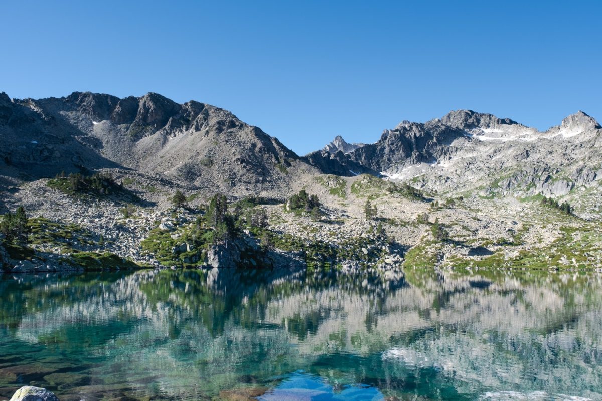
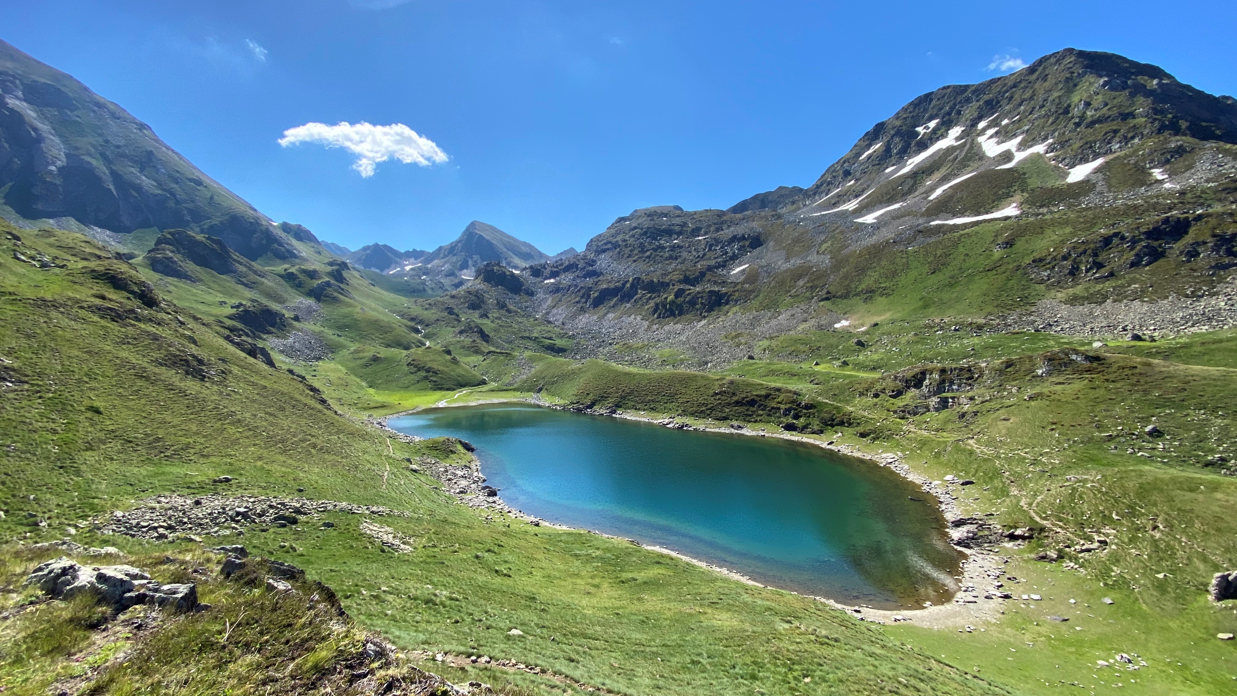
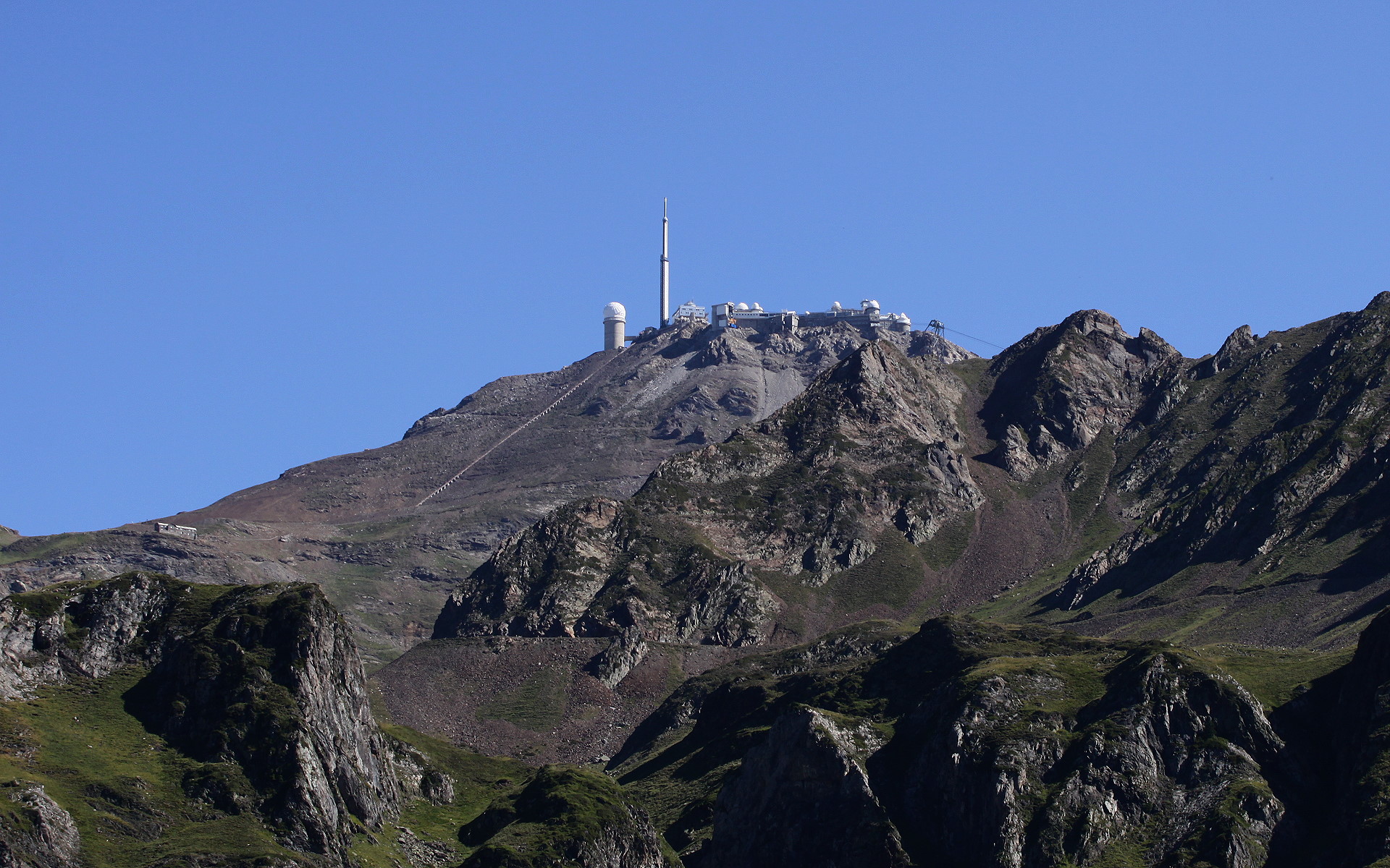
After following a stream, this loop will take you to the refuge and to Lac de la Glère, then to the Bolou valley.

Already more than 200,000 users!
Uphill
907m
Highest point
2241m
Downhill
907m
Lowest point
1421m
Route type
Loop
Download the map on your smartphone to save battery and rest assured to always keep access to the route, even without signal.
Includes IGN France and Swisstopo.
I indicate whether dogs are allowed or prohibited on this trail
From May to September
1 rating
Also enjoy:

Already more than 200,000 users!