Uphill
755m
Length
10km
Duration
5h30min
Elev gain
755m
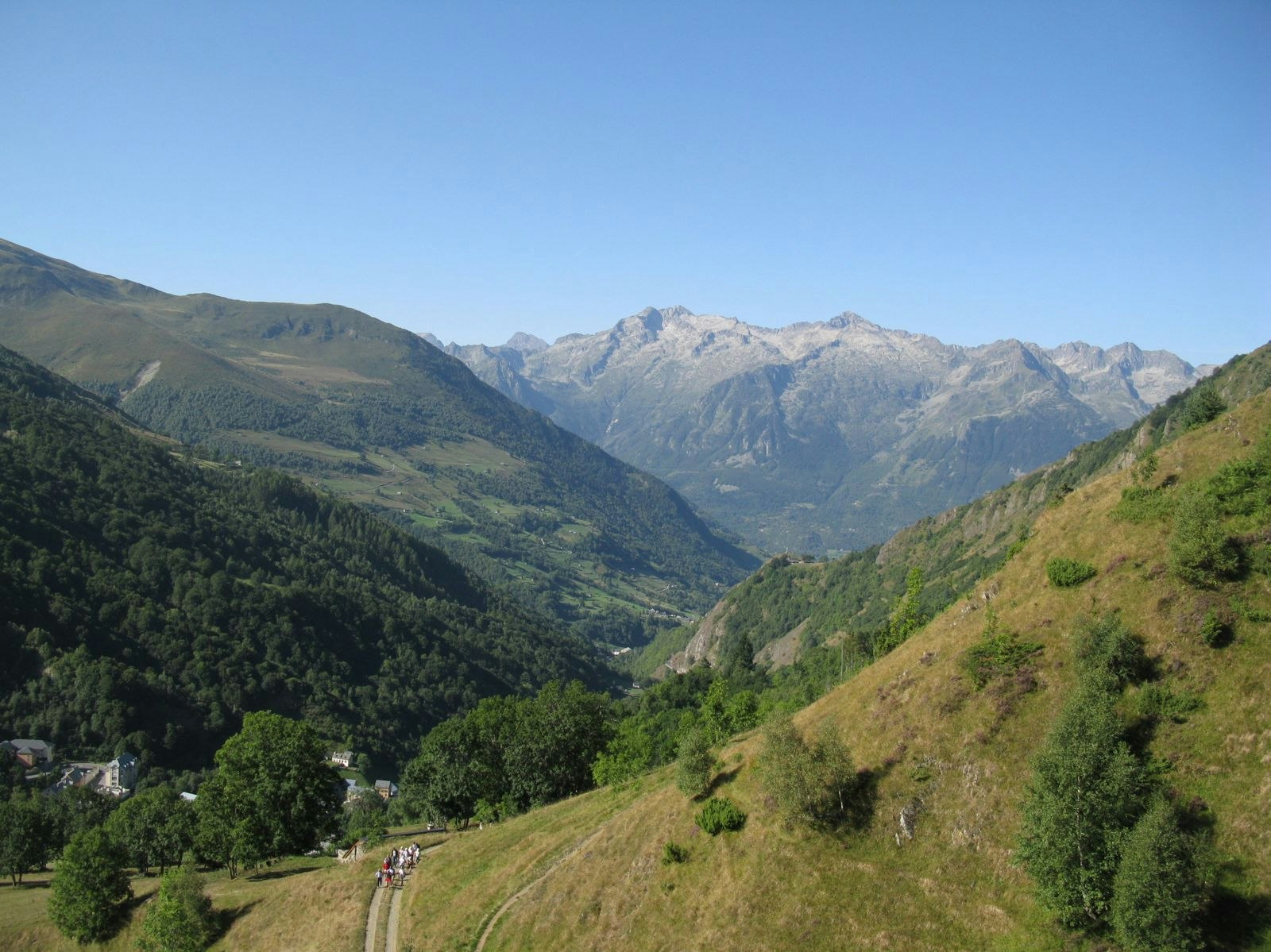
Beautiful hike from Barèges. The climb, steep and shaded, is in the forest. Streams cross the trail in places, great for cooling off. At the top, the panorama is very pretty.

Already more than 200,000 users!
Uphill
755m
Highest point
1937m
Downhill
755m
Lowest point
1218m
Route type
Loop
Download the map on your smartphone to save battery and rest assured to always keep access to the route, even without signal.
Includes IGN France and Swisstopo.
I indicate whether dogs are allowed or prohibited on this trail
From May to October
0 ratings
Also enjoy:

Already more than 200,000 users!


