Uphill
604m
Length
10km
Duration
4h30min
Elev gain
604m
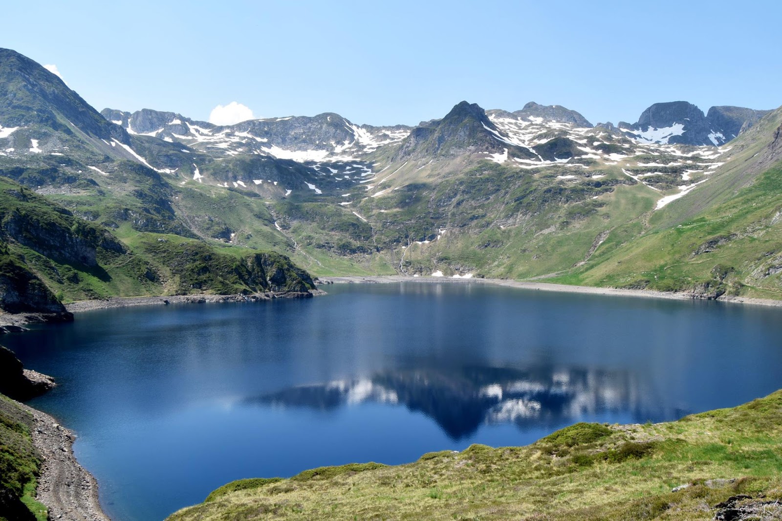
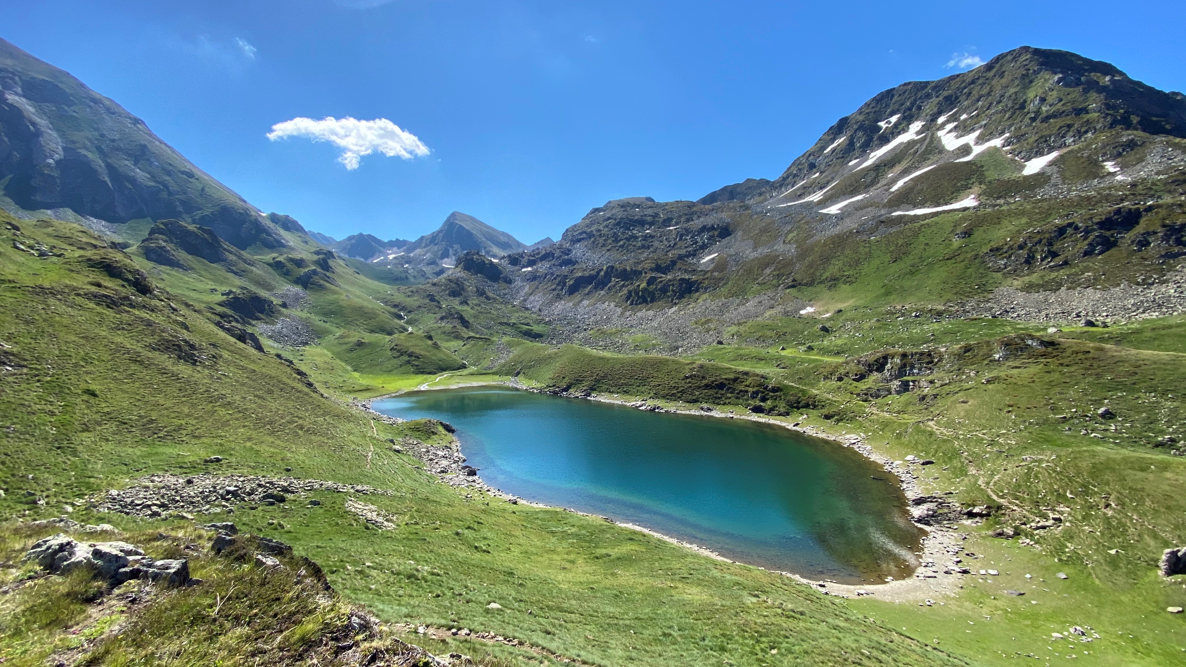
Walk in the Lesponne valley leading to the pretty lake of Ourrec and passing by the Pitch waterfall in Ouscouaou.
The first part is shady and relatively easy, but the end gets steeper as the landscape clears.

Already more than 200,000 users!
Uphill
604m
Highest point
1669m
Downhill
604m
Lowest point
1073m
Route type
There and back
Download the map on your smartphone to save battery and rest assured to always keep access to the route, even without signal.
Includes IGN France and Swisstopo.
I indicate whether dogs are allowed or prohibited on this trail
From May to October
0 ratings
Also enjoy:

Already more than 200,000 users!