Uphill
949m
Length
17km
Duration
7h
Elev gain
949m
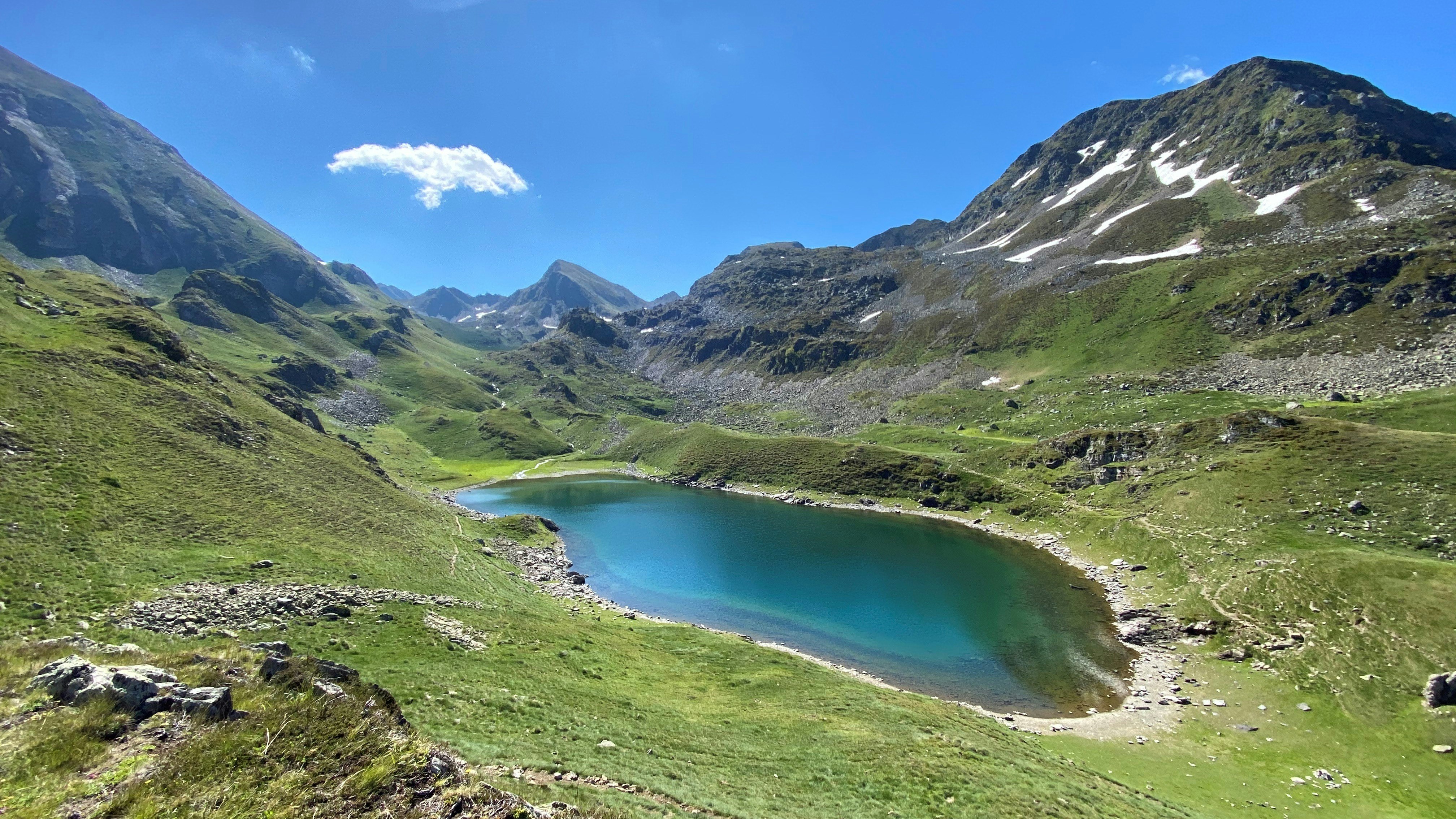
Beginning near Super Barèges, this trail firstly winds between several peaks: La Bonida, Bédérat peak, Crémat peak and Merlheu peak. The path then descends to Lac Vert then to Lac Bleu in Lesponne, the deepest in the Pyrenees at 121 meters.

Already more than 200,000 users!
Uphill
949m
Highest point
2364m
Downhill
949m
Lowest point
1929m
Route type
There and back
Download the map on your smartphone to save battery and rest assured to always keep access to the route, even without signal.
Includes IGN France and Swisstopo.
I indicate whether dogs are allowed or prohibited on this trail
From May to September
0 ratings
Also enjoy:

Already more than 200,000 users!


