Uphill
1082m
Length
15km
Duration
7h30min
Elev gain
1082m
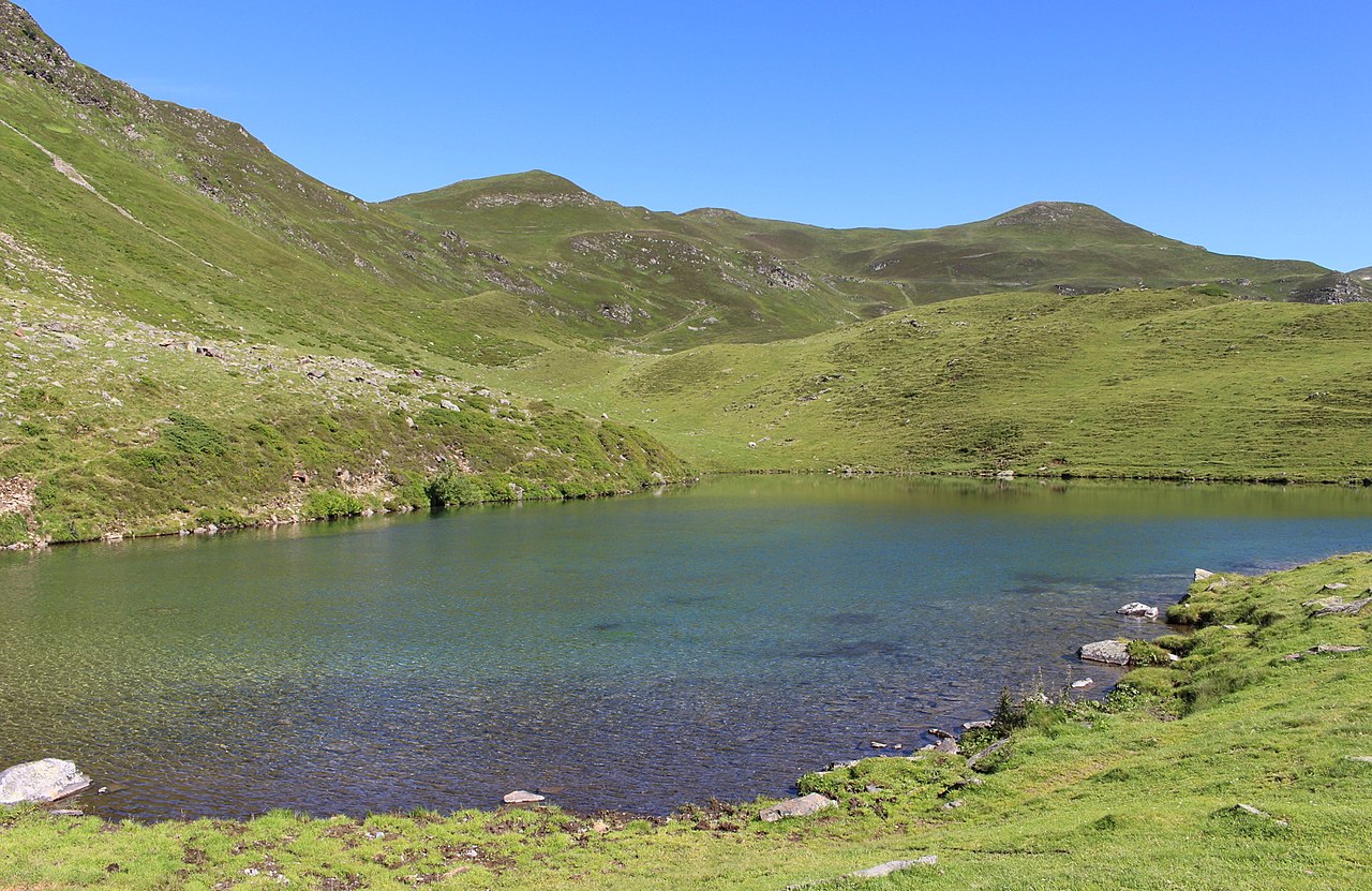
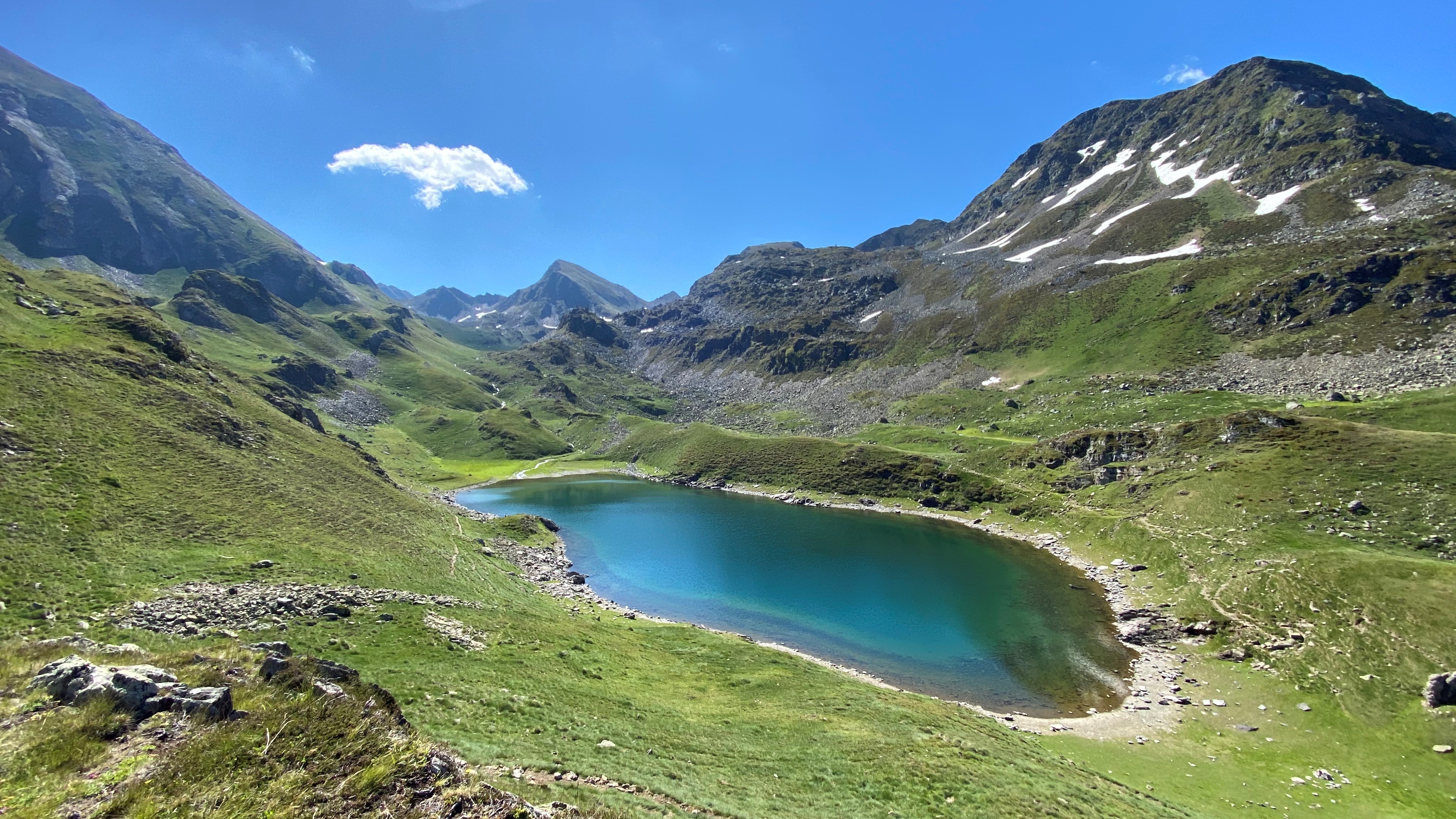
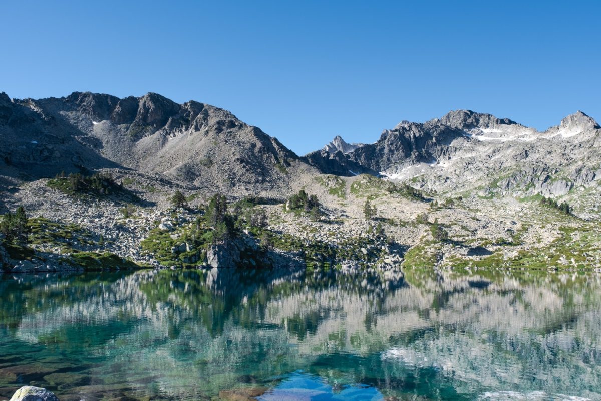
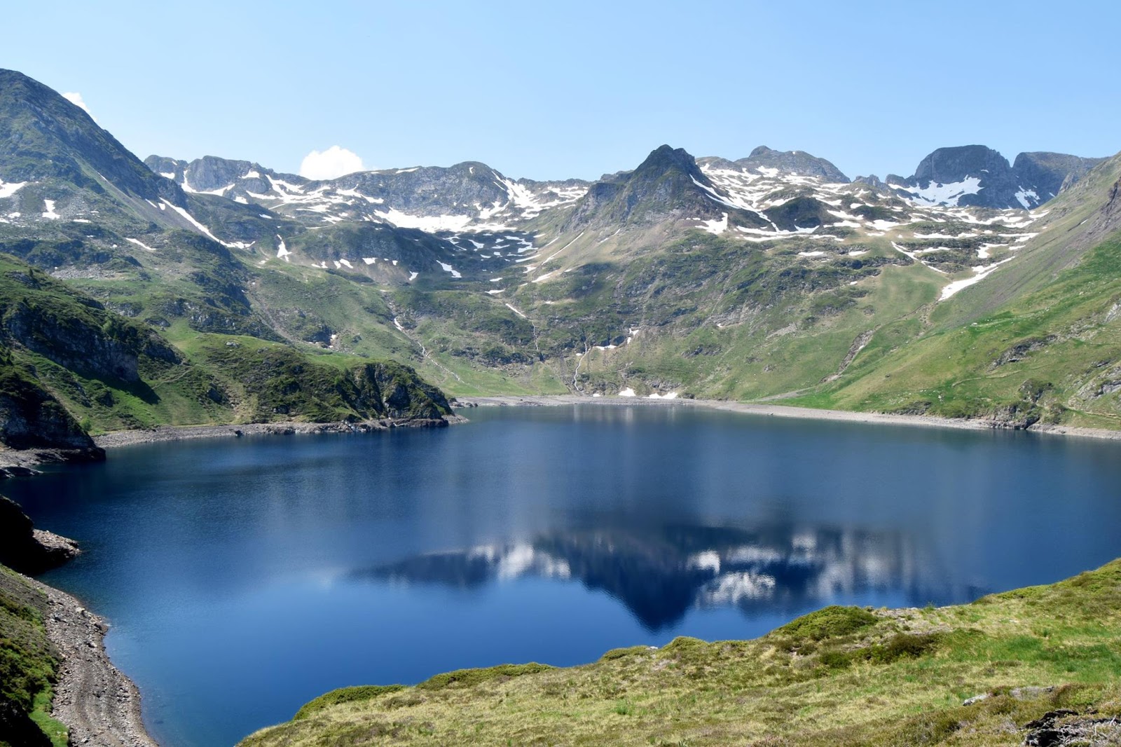
A pretty hike that leads to Lac Bleu de Lesponne. The trail is very pleasant, it runs along a stream and several waterfalls. After a slightly difficult last part, the Blue Lake of Lesponne appears, magnificent.

Already more than 200,000 users!
Uphill
1082m
Highest point
2053m
Downhill
1082m
Lowest point
1064m
Route type
Loop
Download the map on your smartphone to save battery and rest assured to always keep access to the route, even without signal.
Includes IGN France and Swisstopo.
I indicate whether dogs are allowed or prohibited on this trail
From May to September
3 ratings
Also enjoy:

Already more than 200,000 users!