Uphill
447m
Length
7km
Duration
3h30min
Elev gain
447m
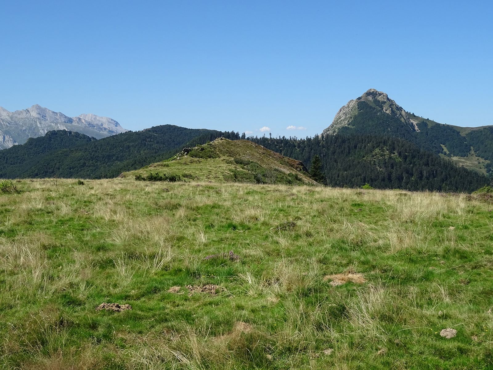
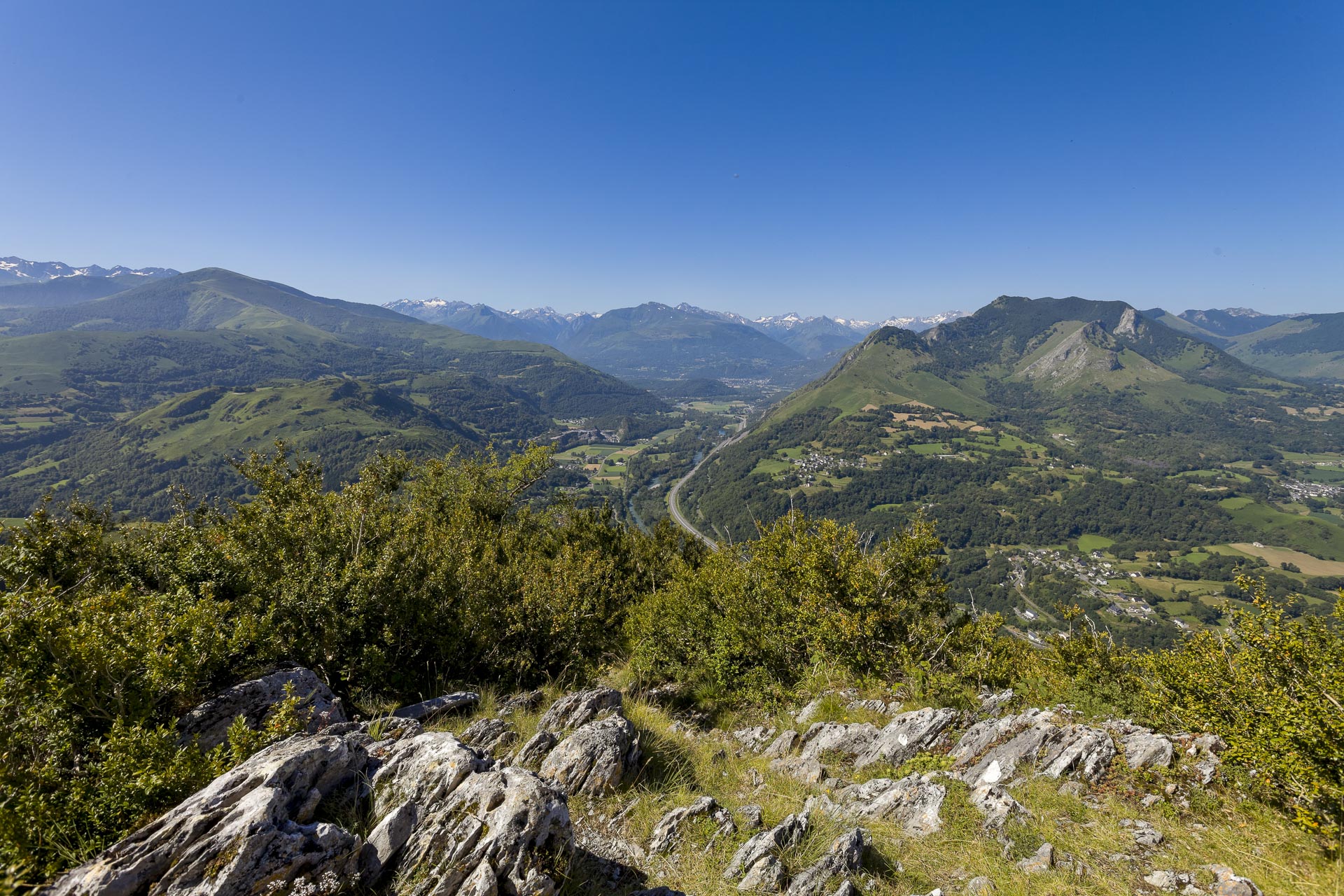
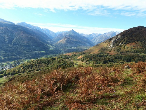
In the immediate vicinity of Argelès-Gazost, this trail allows you to climb the Mont de Gez, which offers a lovely view of the Pyrenees from its 1097 meter high.
The climb is accessible, regular, and shaded to the summit, which is rounded and grassy.

Already more than 200,000 users!
Uphill
447m
Highest point
1087m
Downhill
447m
Lowest point
633m
Route type
Loop
Download the map on your smartphone to save battery and rest assured to always keep access to the route, even without signal.
Includes IGN France and Swisstopo.
No parking. Possibility to park by the roadside near the starting point.
I indicate whether dogs are allowed or prohibited on this trail
Can be difficult in Winter
1 rating
Also enjoy:

Already more than 200,000 users!