Uphill
962m

Length
13km
Duration
7h
Elev gain
962m
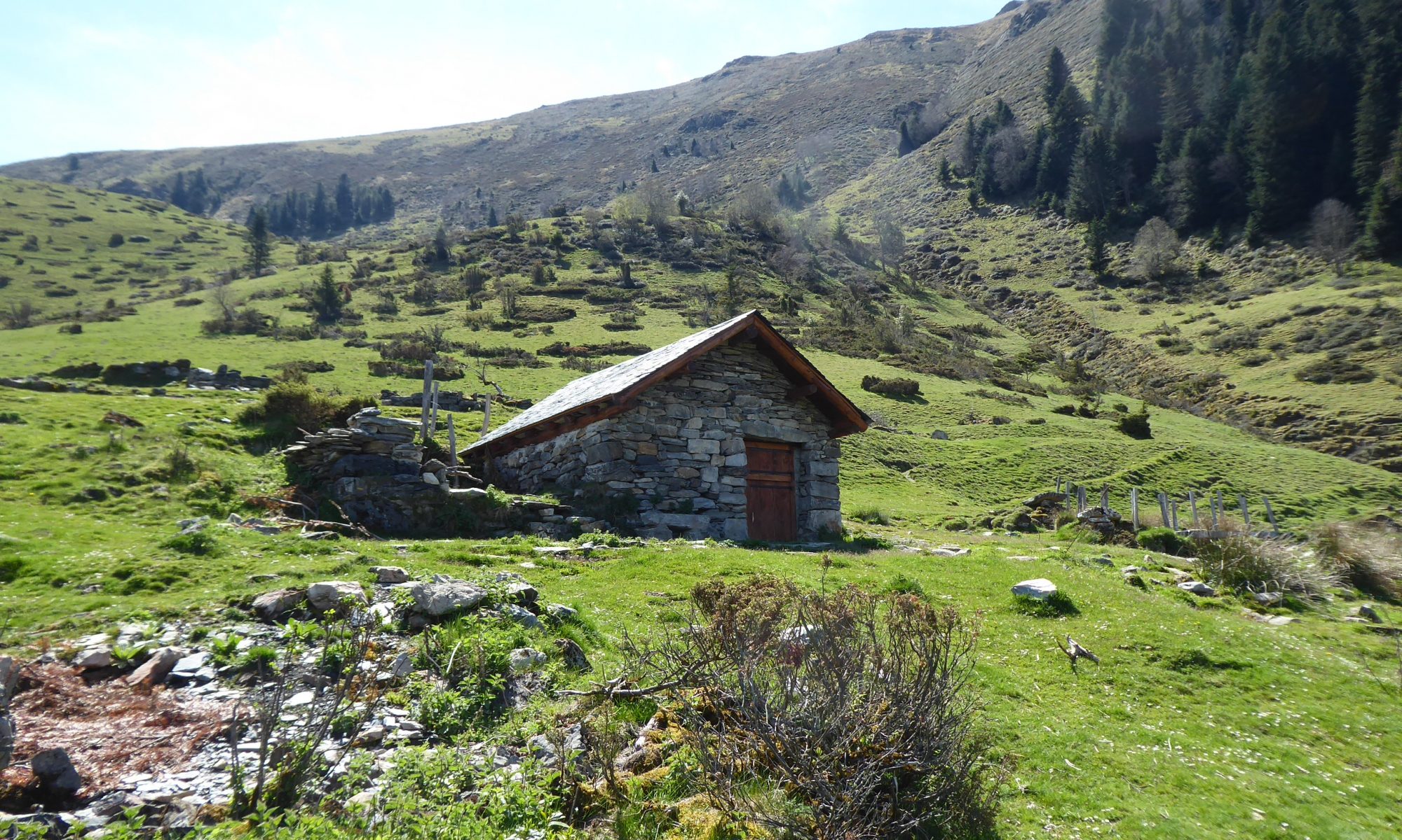
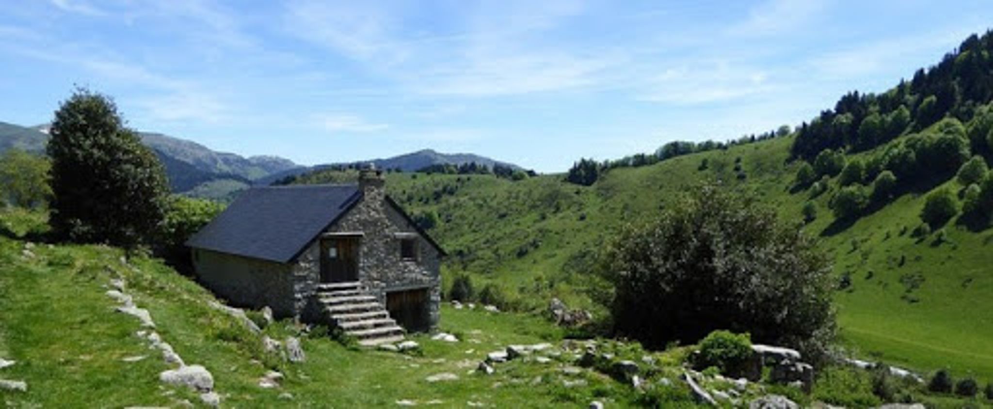
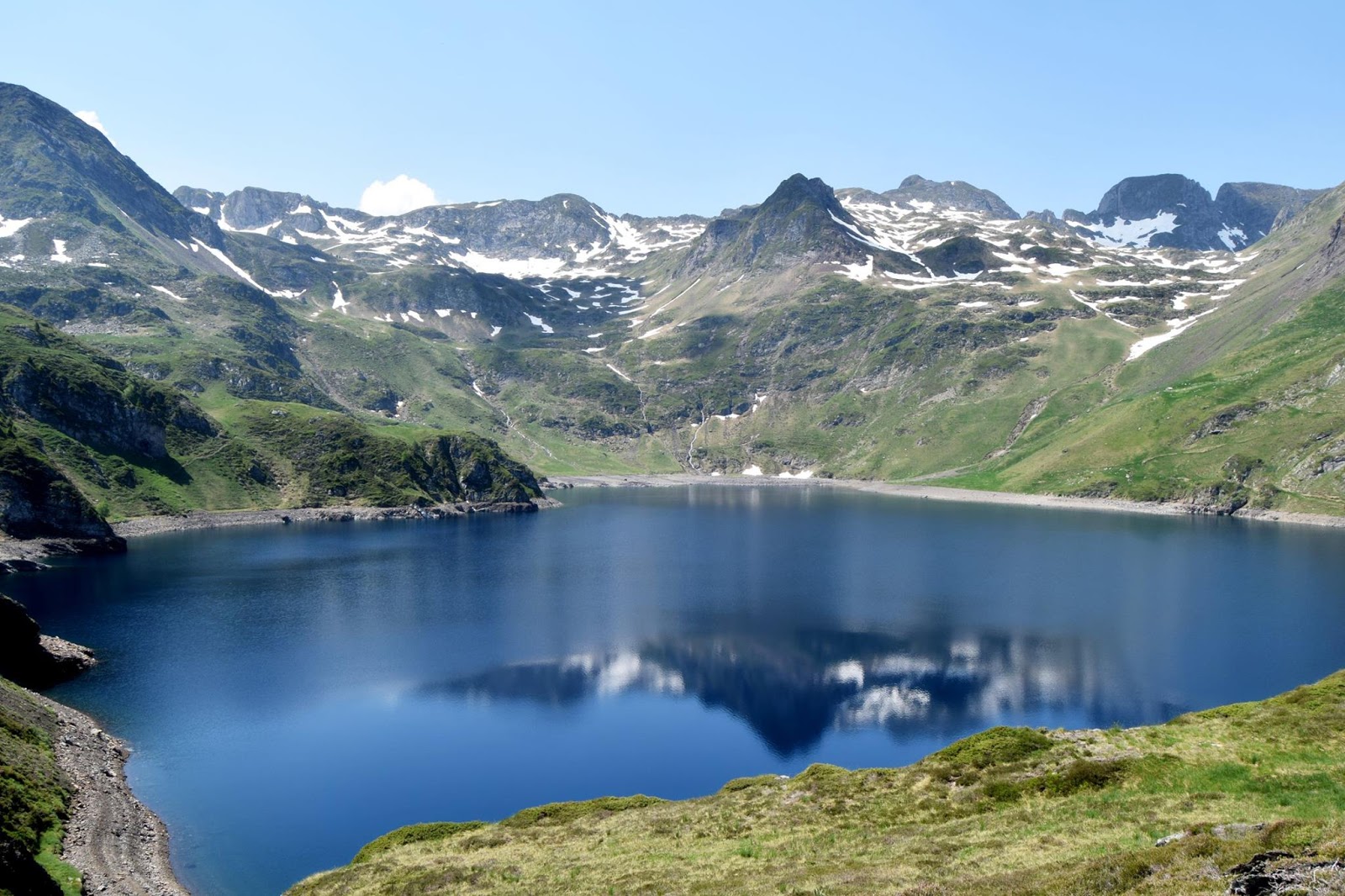
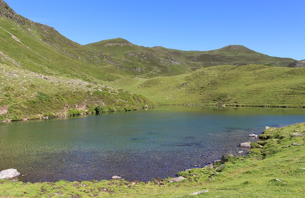
Hike that leads to the Lhéris Helmet. On the outward journey, the path runs along the Lhéris and bypasses the Péne Oubac (1,371m). Once at the top, the view of the Hautes-Pyrénées is stunning. It is even possible to see a bearded vulture flying there.
The return runs along the Gavarni stream.

Already more than 200,000 users!
Uphill
962m
Highest point
1570m
Downhill
962m
Lowest point
662m
Route type
Loop
Download the map on your smartphone to save battery and rest assured to always keep access to the route, even without signal.
Includes IGN France and Swisstopo.
I indicate whether dogs are allowed or prohibited on this trail
Can be difficult in Winter
1 rating
Also enjoy:

Already more than 200,000 users!