Uphill
739m
France > Occitanie > Aveyron > Grands Causses Regional Natural Park
Length
15km
Duration
6h
Elev gain
739m
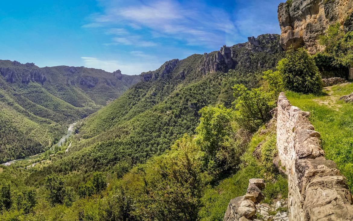
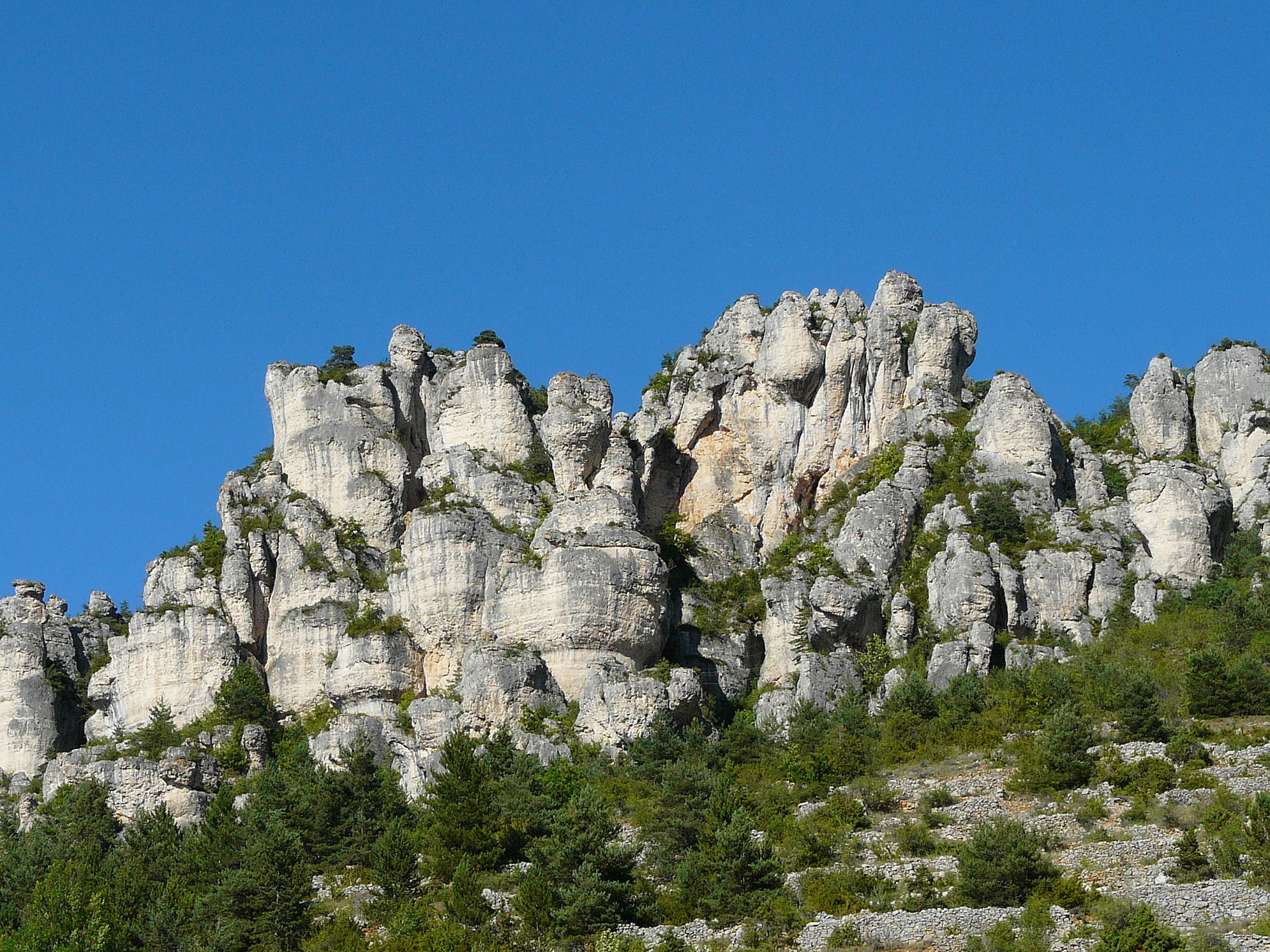
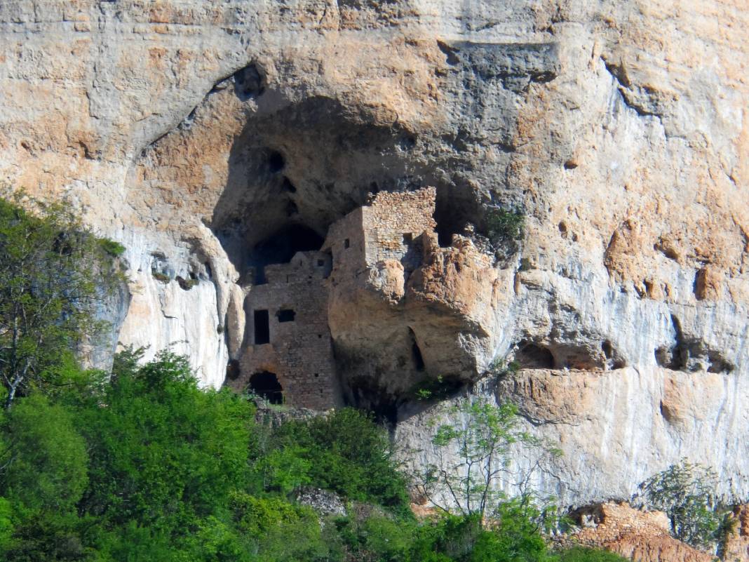
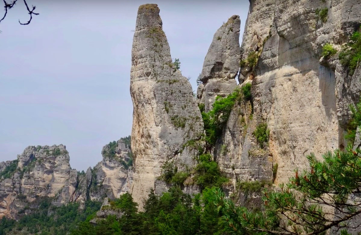
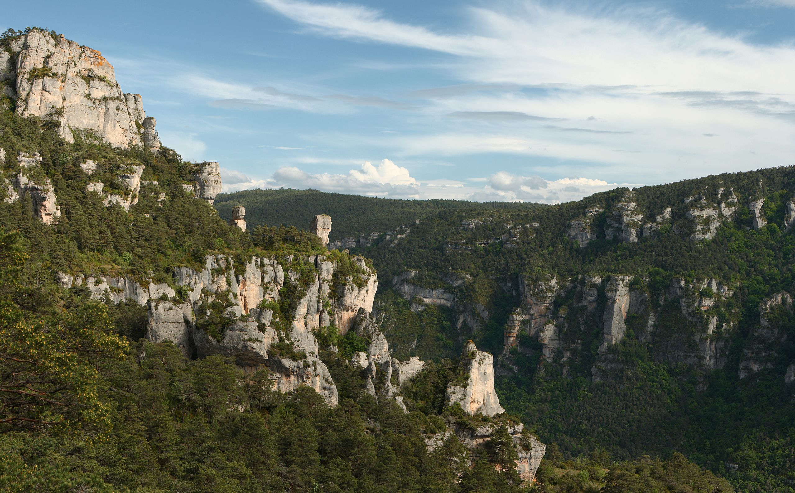
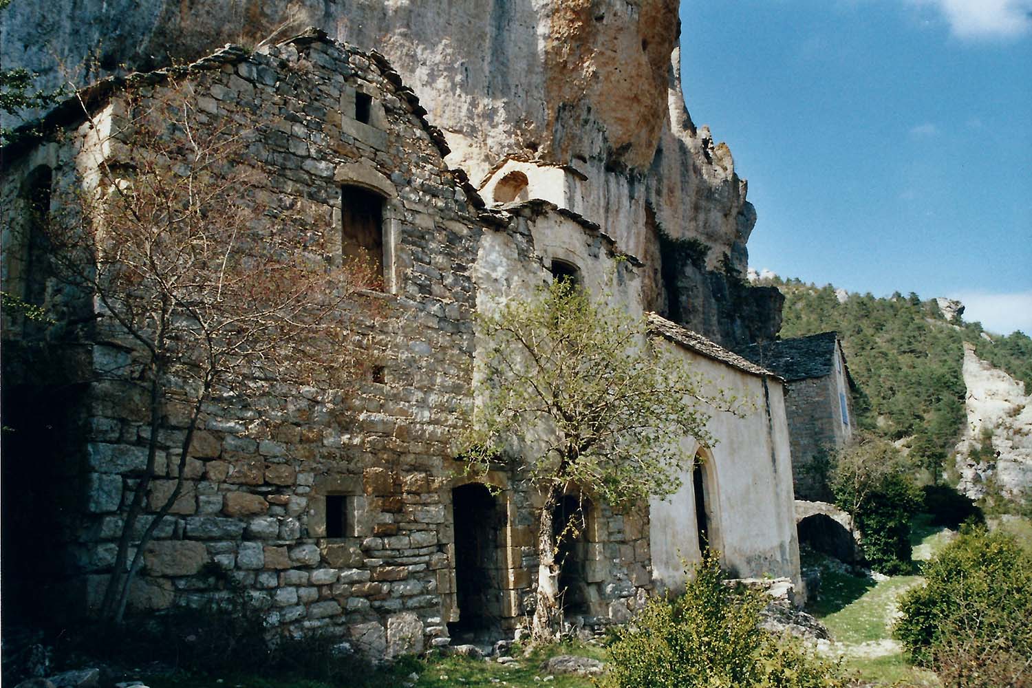
Starting from Liaucous, this route is quite steep for the first three kilometers before becoming easier and reaching the troglodyte castle of Saint-Marcellin. The path then returns to the starting point following the Tarn where the views of the gorges are superb. In summary, this hike is sporty and is done in a very beautiful setting.

Already more than 200,000 users!
Uphill
739m
Highest point
936m
Downhill
739m
Lowest point
457m
Route type
Loop
Download the map on your smartphone to save battery and rest assured to always keep access to the route, even without signal.
Includes IGN France and Swisstopo.
I indicate whether dogs are allowed or prohibited on this trail
All year
0 ratings
Also enjoy:

Already more than 200,000 users!