Uphill
1097m
France > Occitanie > Ariège > Ariège Pyrenees Regional Natural Park
Length
11km
Duration
7h
Elev gain
1097m
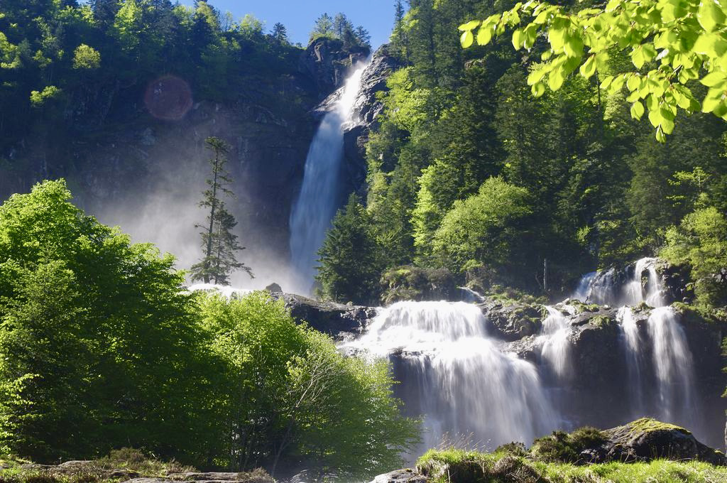
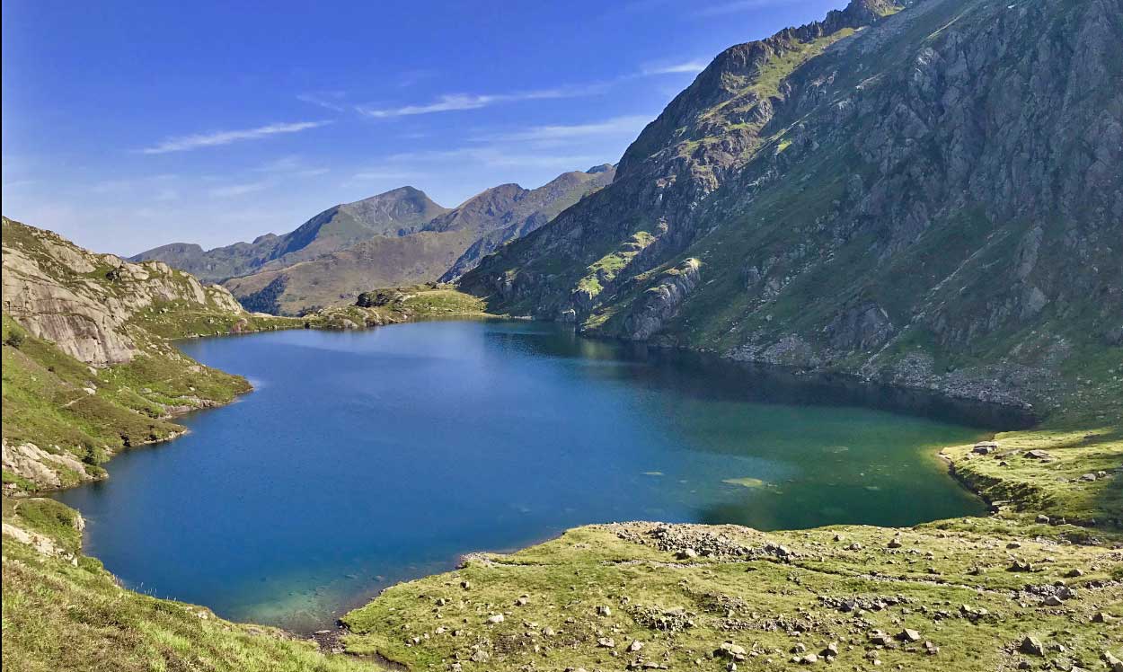
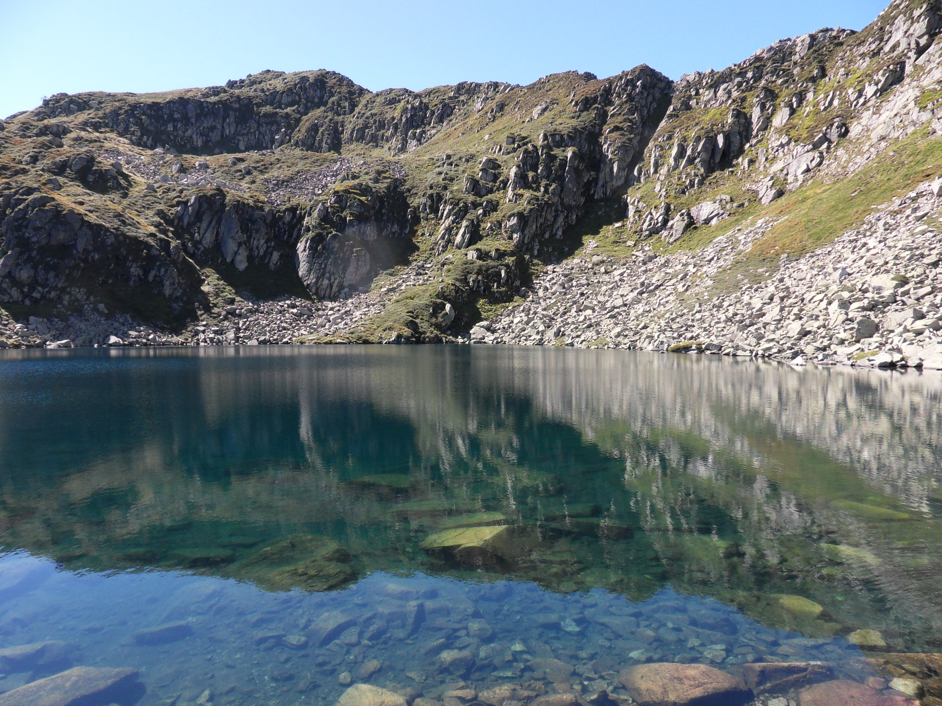
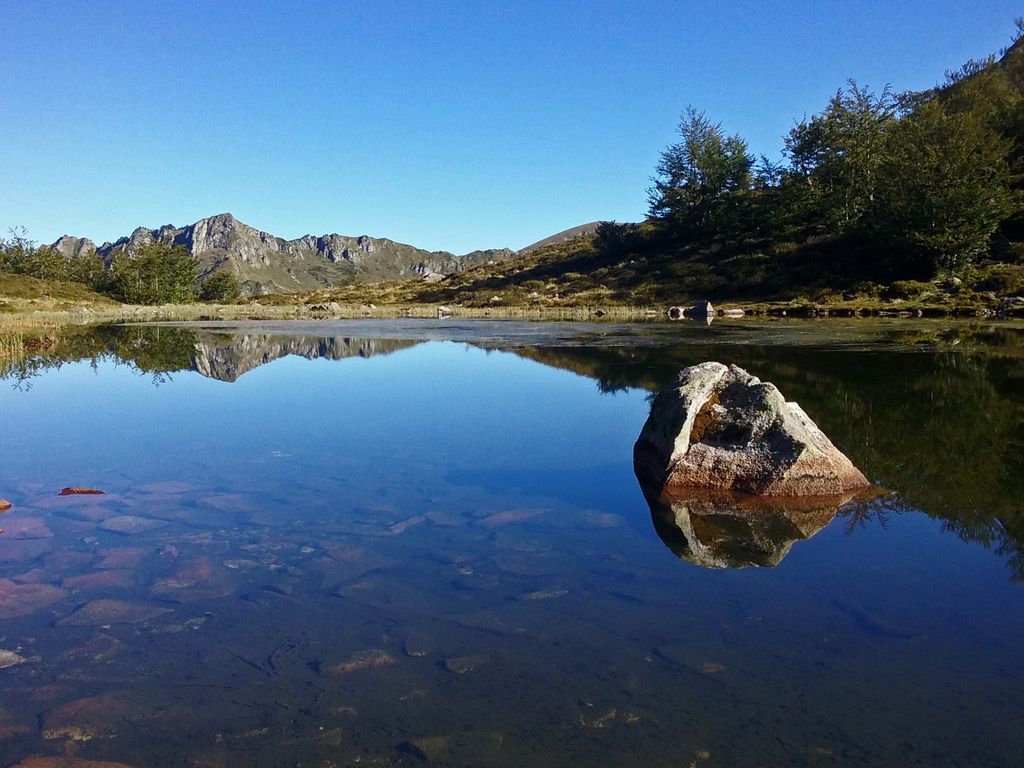
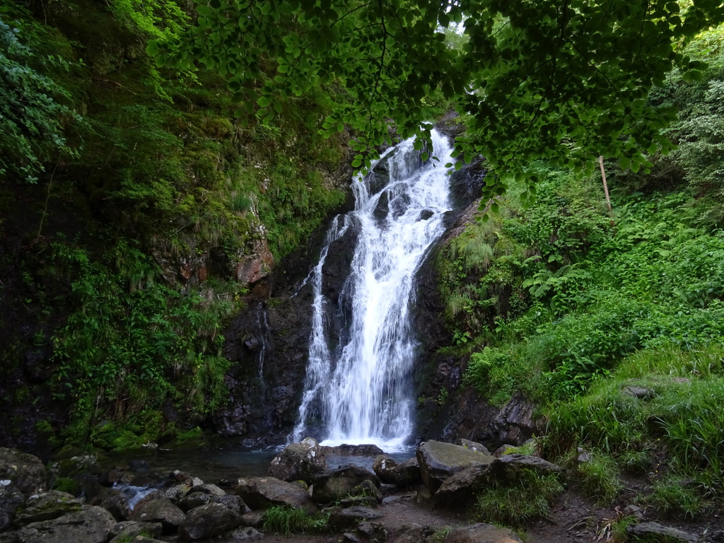
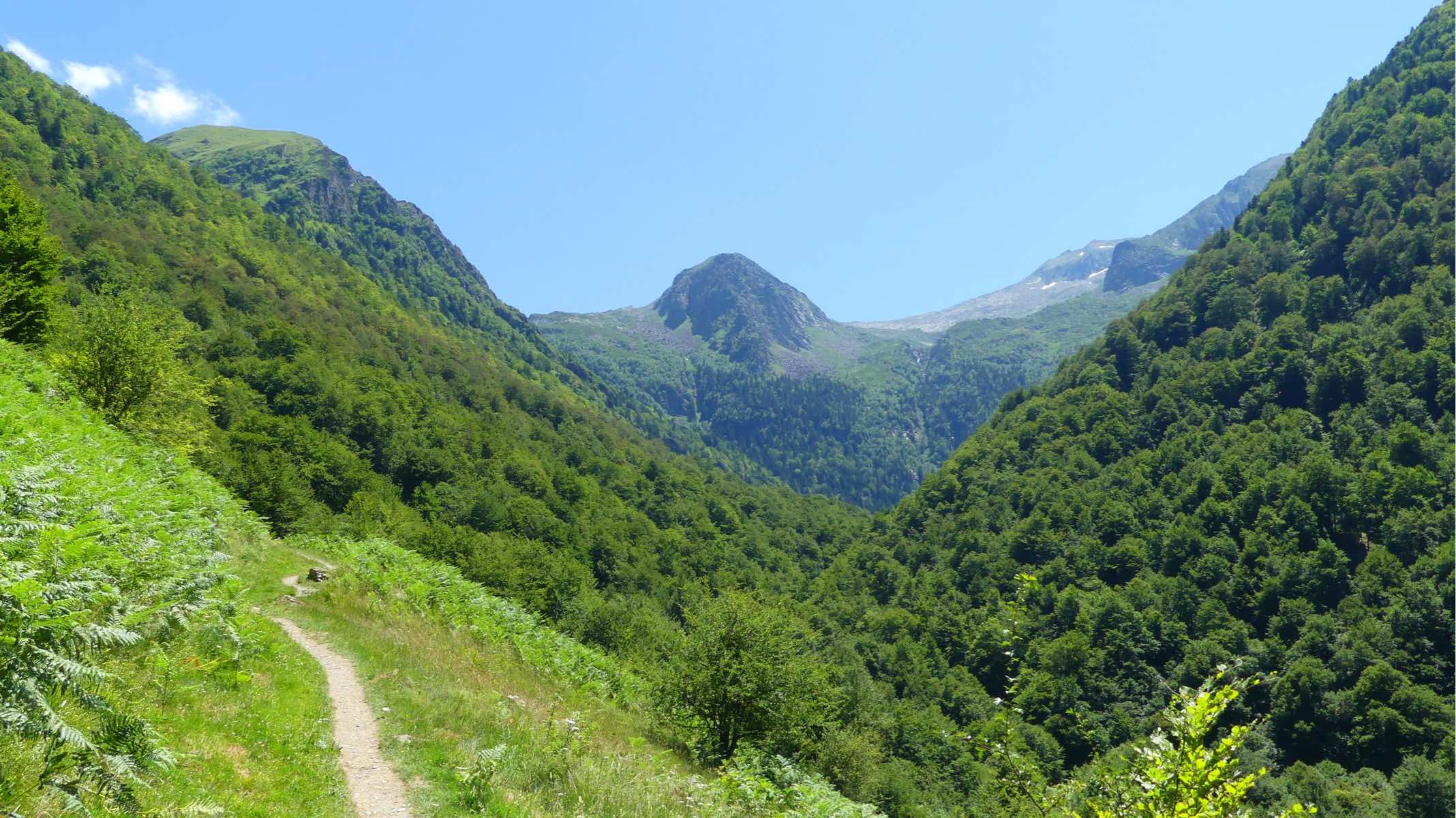
A magnificent hike in a natural glacial cirque. Varied landscapes and water is present all along, with the Escorse stream and the ponds of Alet and Hilette. Note the presence of shelters on the trail.

Already more than 200,000 users!
Uphill
1097m
Highest point
2016m
Downhill
1097m
Lowest point
972m
Route type
Loop
Download the map on your smartphone to save battery and rest assured to always keep access to the route, even without signal.
Includes IGN France and Swisstopo.
I indicate whether dogs are allowed or prohibited on this trail
From May to September
0 ratings
Also enjoy:

Already more than 200,000 users!