Uphill
434m

Length
17km
Duration
5h30min
Elev gain
434m
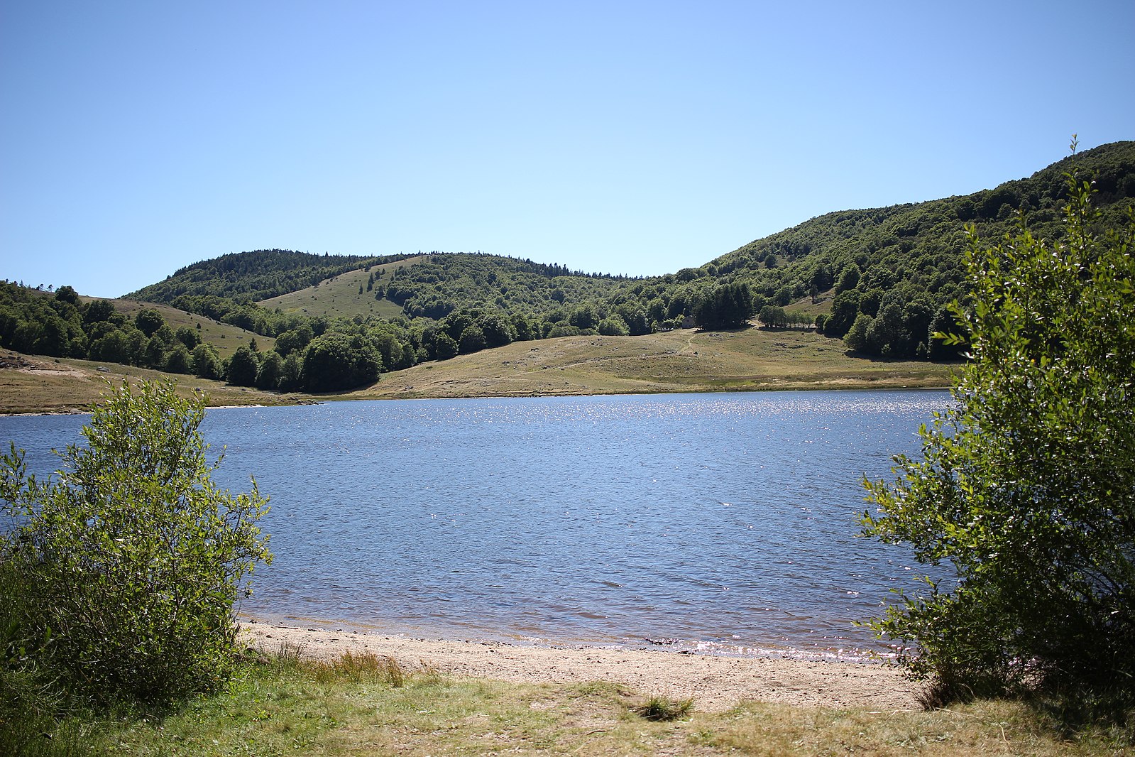
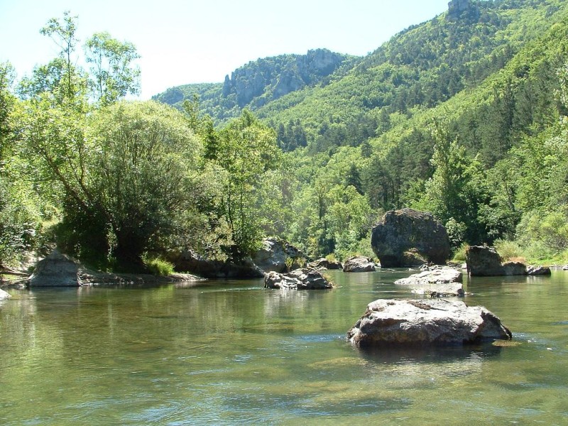
Here is a hike on the theme of happiness! After starting in Saint-Sauveur-Camprieu, this trail passes by the Lac du Bonheur and the Col de la Serreyrède before continuing to the Col de Prat Peirot. On the way back, the path descends via the Col de la Caumette, then makes a small detour via the abyss known as the "perte du Bonheur". So, happy or not?

Already more than 200,000 users!
Uphill
434m
Highest point
1472m
Downhill
434m
Lowest point
1088m
Route type
Loop
Download the map on your smartphone to save battery and rest assured to always keep access to the route, even without signal.
Includes IGN France and Swisstopo.
I indicate whether dogs are allowed or prohibited on this trail
Can be difficult in Winter
0 ratings
Also enjoy:

Already more than 200,000 users!