Uphill
362m
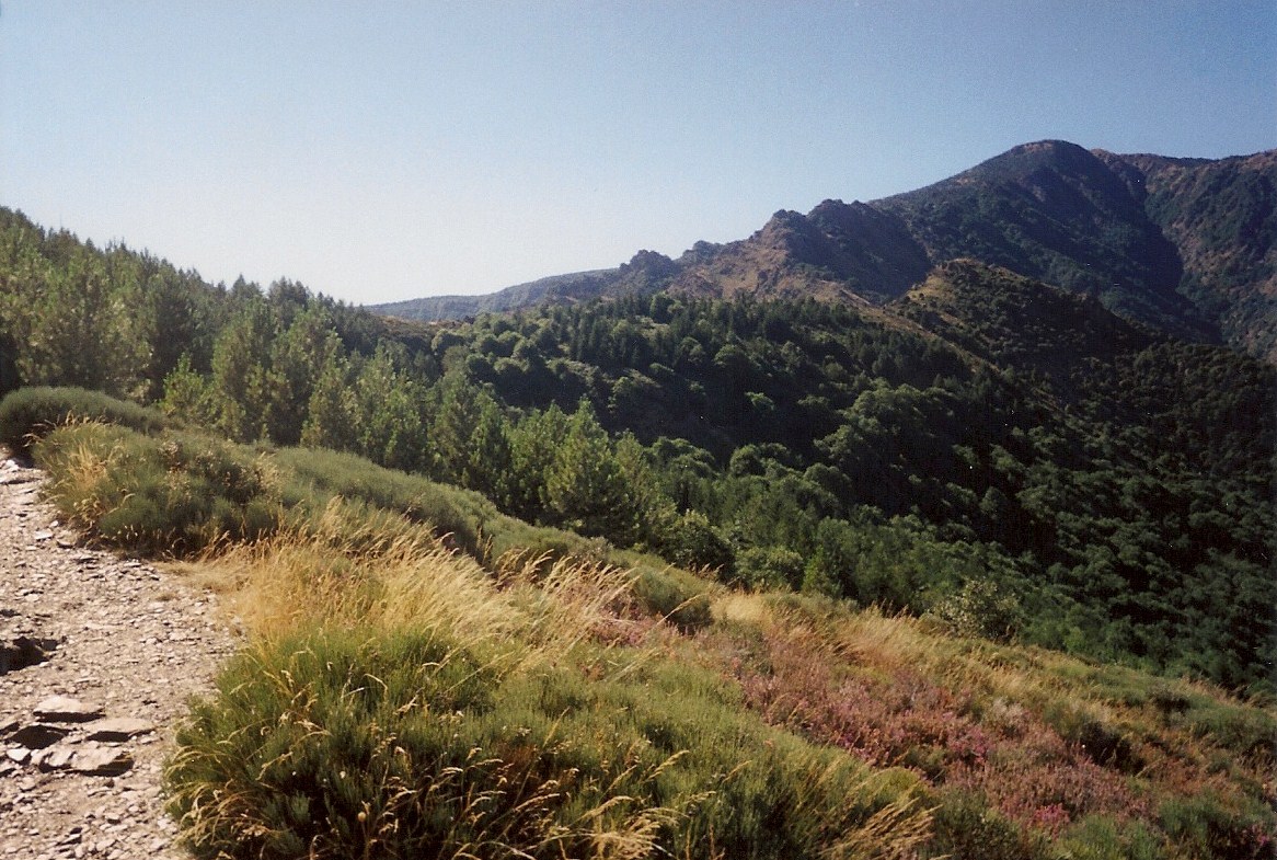
France > Occitanie > Lozère > Cévennes National Park
Length
10km
Duration
3h30min
Elev gain
362m
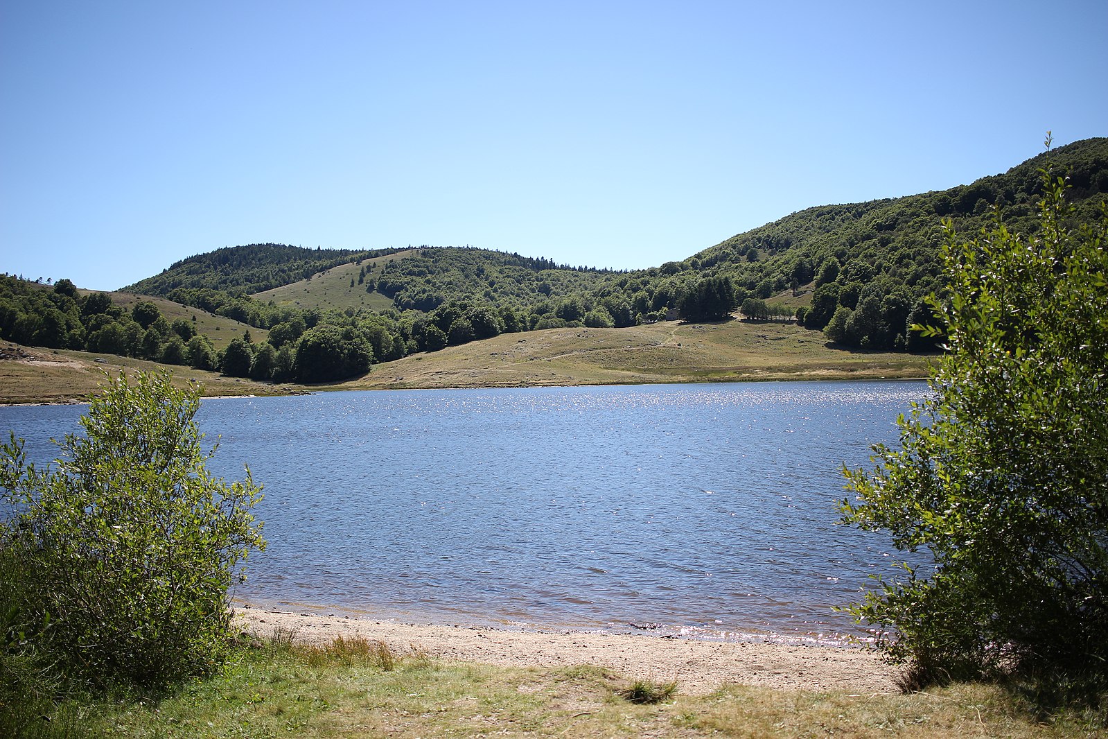
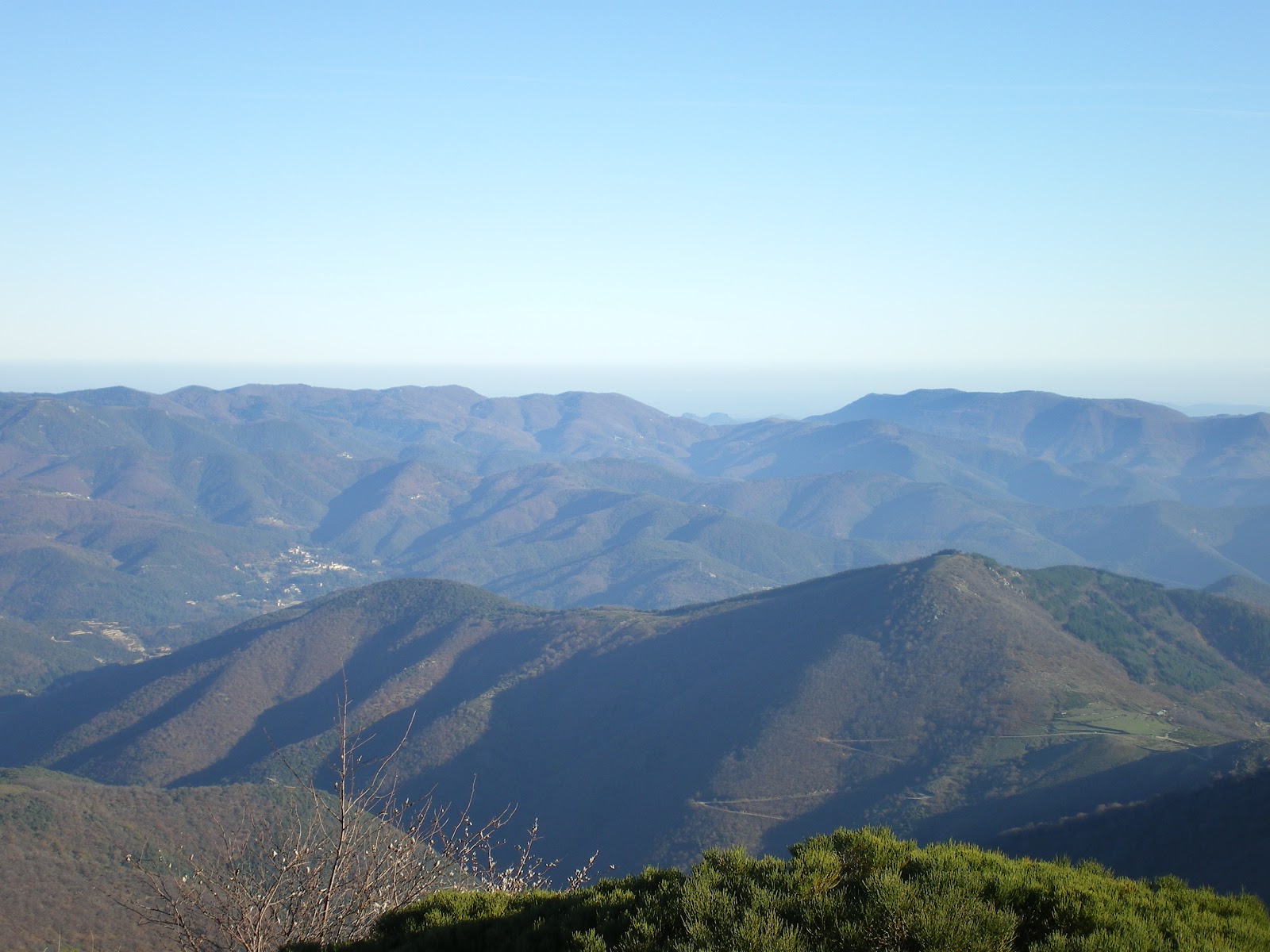
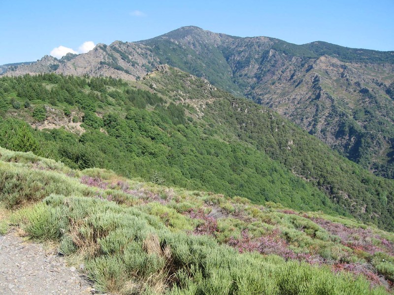
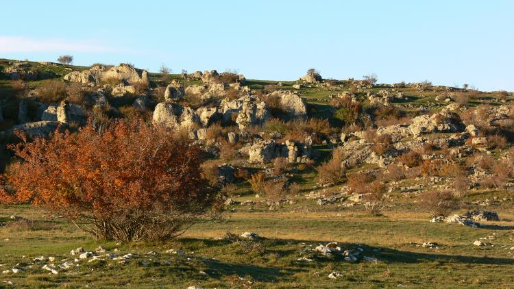
Departing from the Prat Peirot pass, here is a walk alternating between forest and the clear summit of Mont Aigoual. Breathtaking view of the surroundings.

Already more than 200,000 users!
Uphill
362m
Highest point
1556m
Downhill
362m
Lowest point
1304m
Route type
Loop
Download the map on your smartphone to save battery and rest assured to always keep access to the route, even without signal.
Includes IGN France and Swisstopo.
Authorised on a leash
Can be difficult in Winter
4 ratings
Très belle rando avec plusieurs points de vue magnifiques.
Parcours en partie ombragé. Super pour cette période de fortes chaleurs
Also enjoy:

Already more than 200,000 users!