Uphill
1191m
Length
16km
Duration
8h30min
Elev gain
1191m
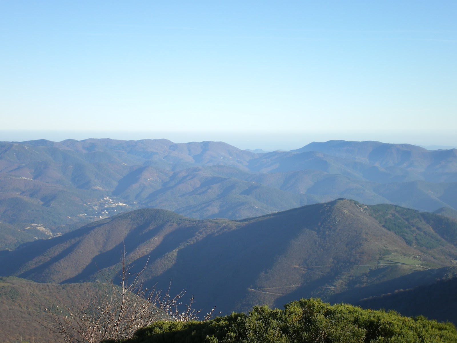
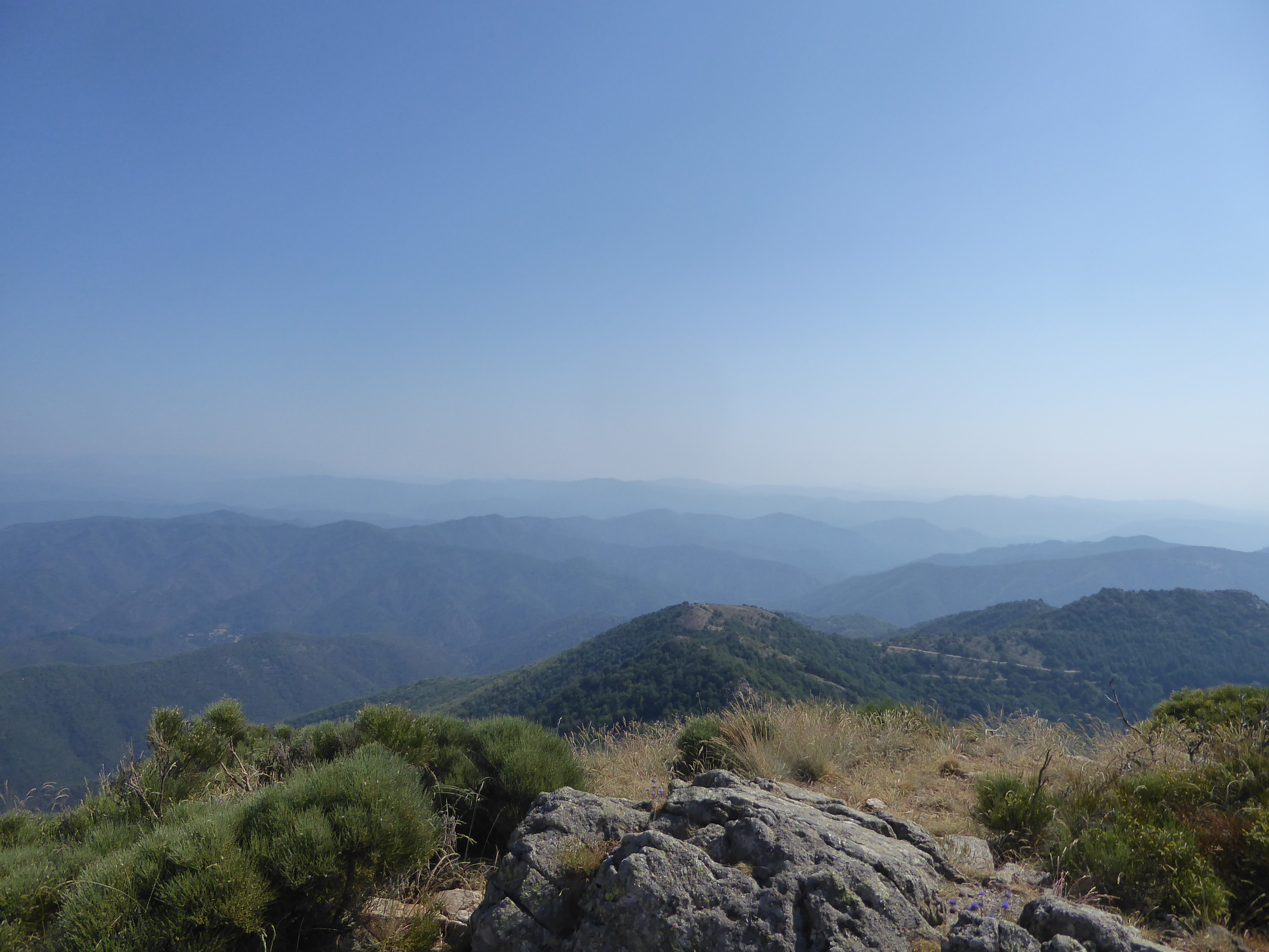
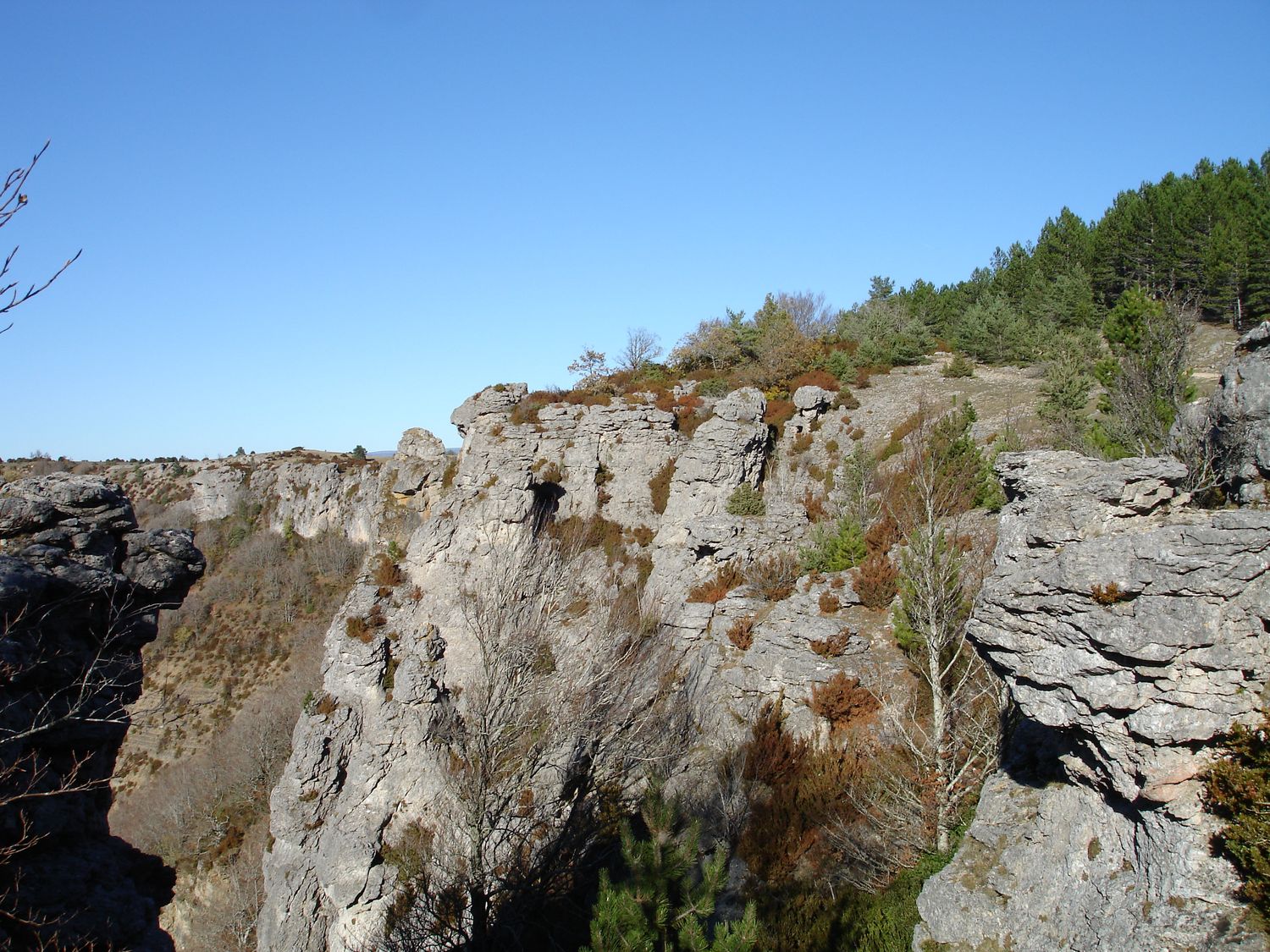
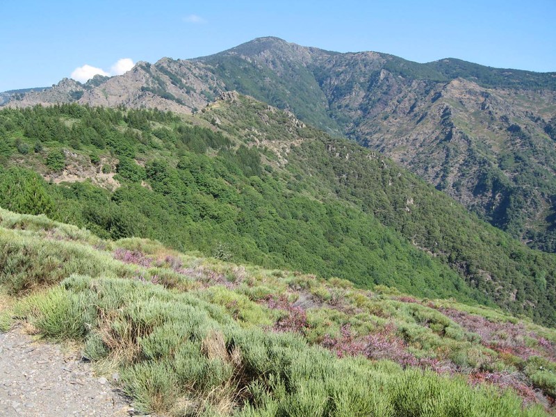
Demanding hike along the 4000-step trail, with a steep elevation profile. The view of Mont Aigoual rewards the effort!

Already more than 200,000 users!
Uphill
1191m
Highest point
1547m
Downhill
1191m
Lowest point
383m
Route type
There and back
Download the map on your smartphone to save battery and rest assured to always keep access to the route, even without signal.
Includes IGN France and Swisstopo.
I indicate whether dogs are allowed or prohibited on this trail
Can be difficult in Winter
1 rating
Also enjoy:

Already more than 200,000 users!