Uphill
249m
Length
5km
Duration
2h
Elev gain
249m
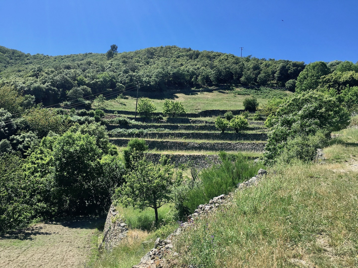
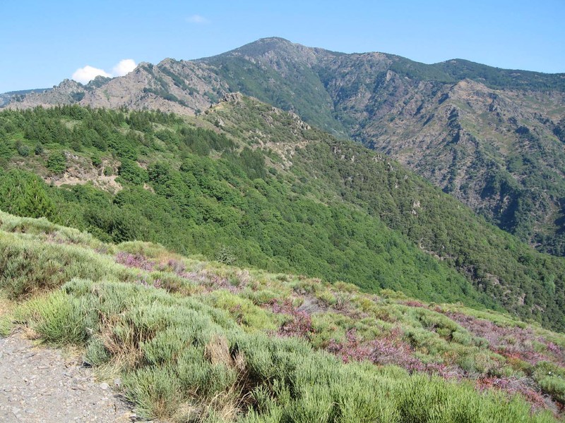
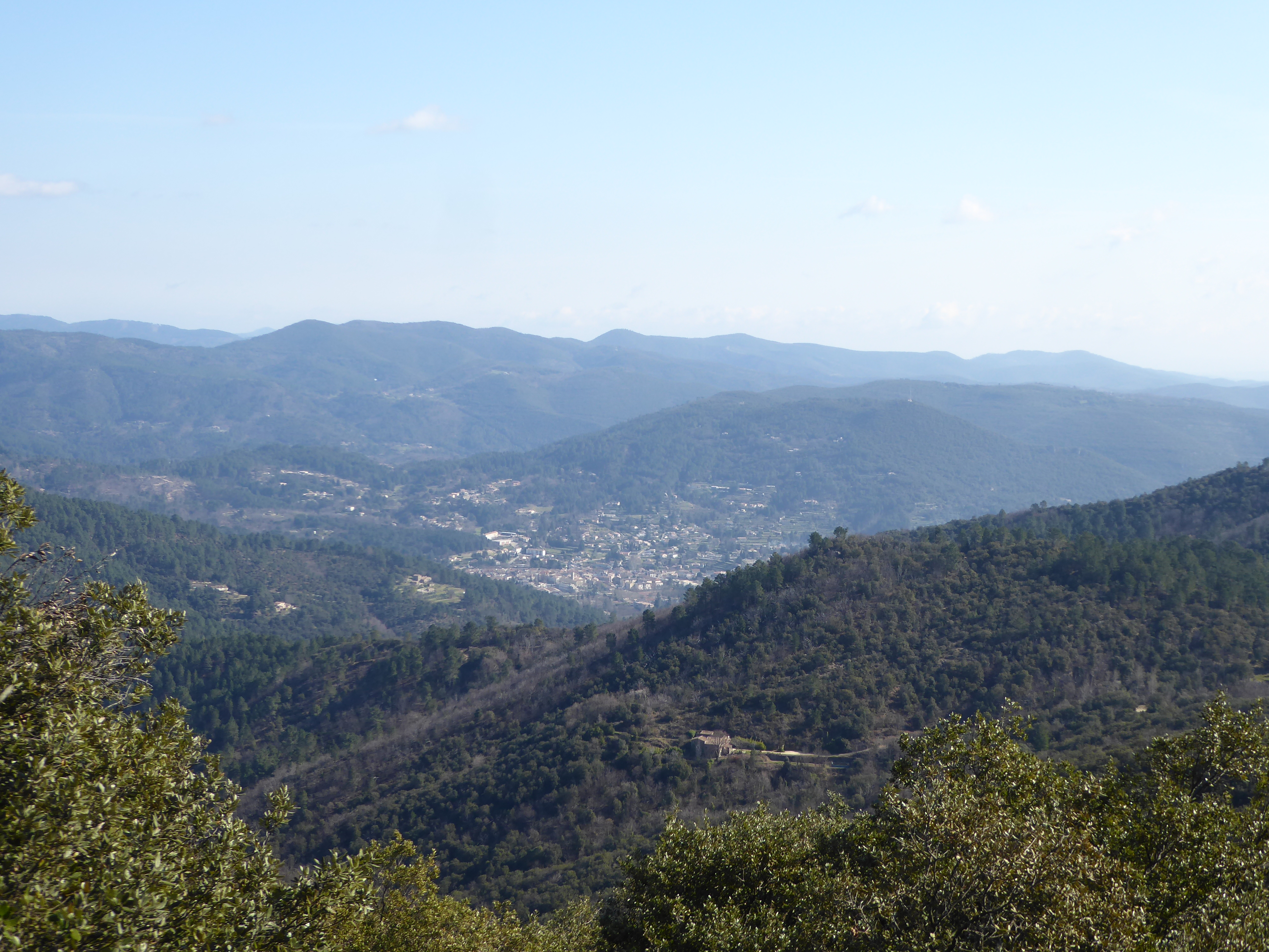
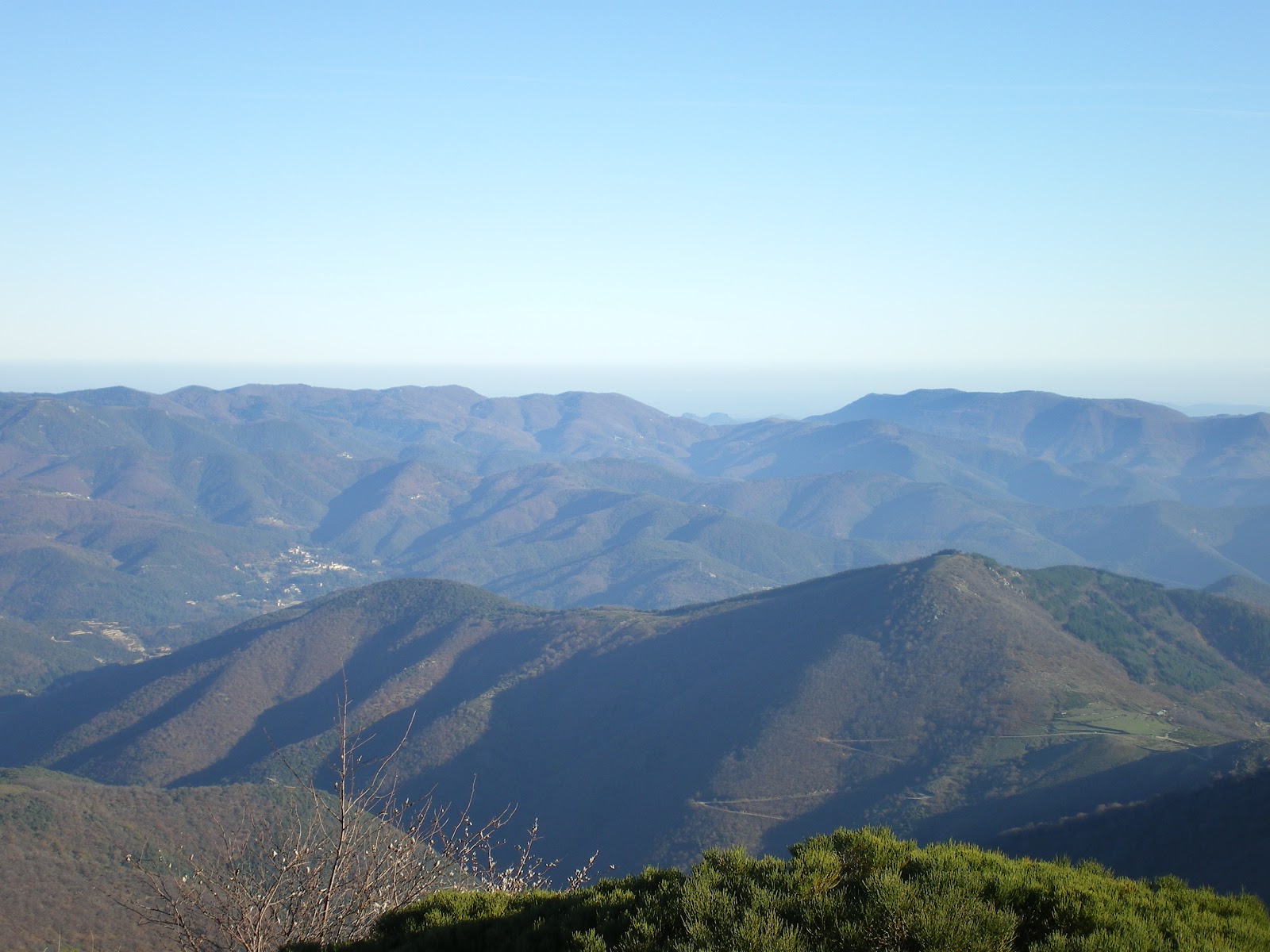
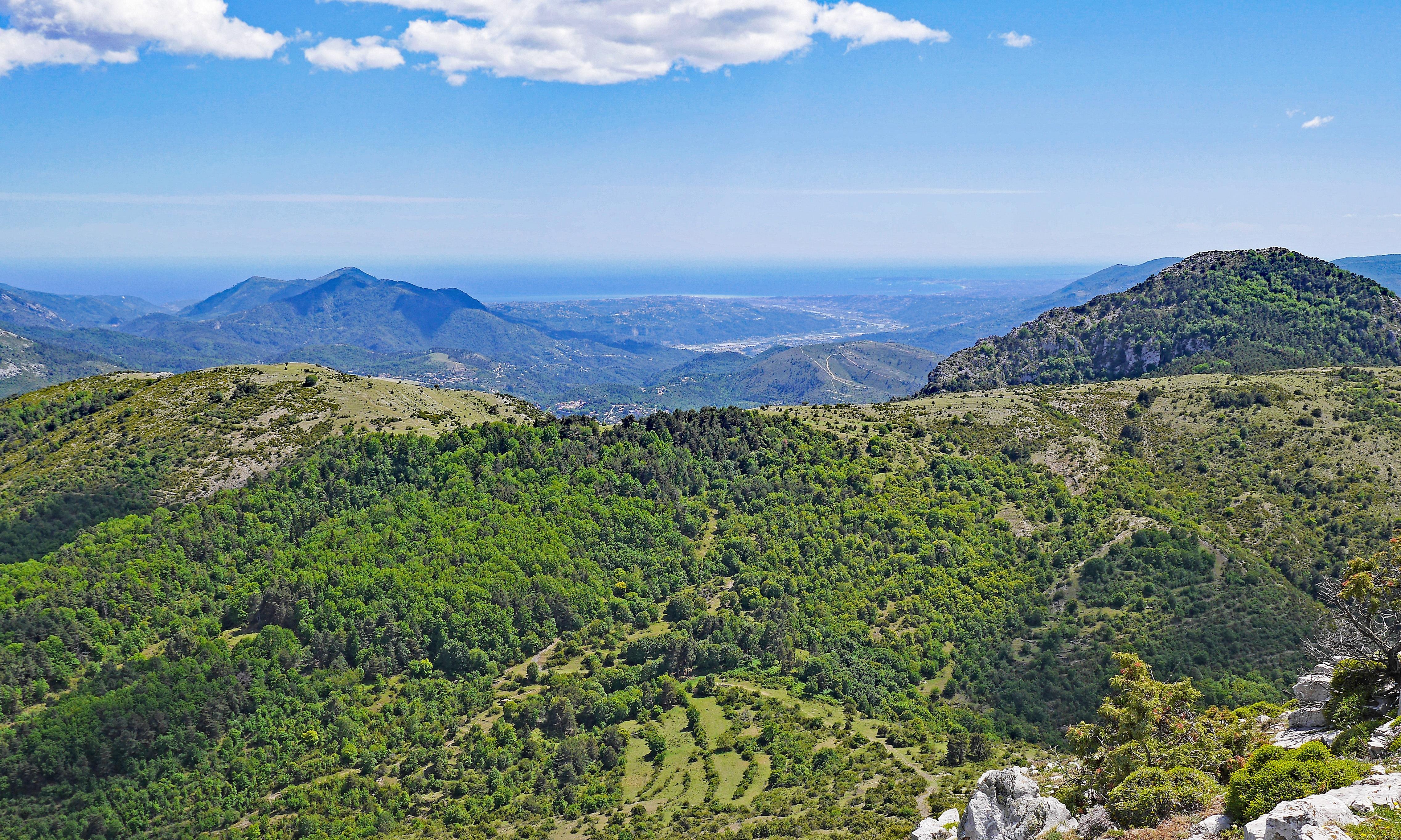
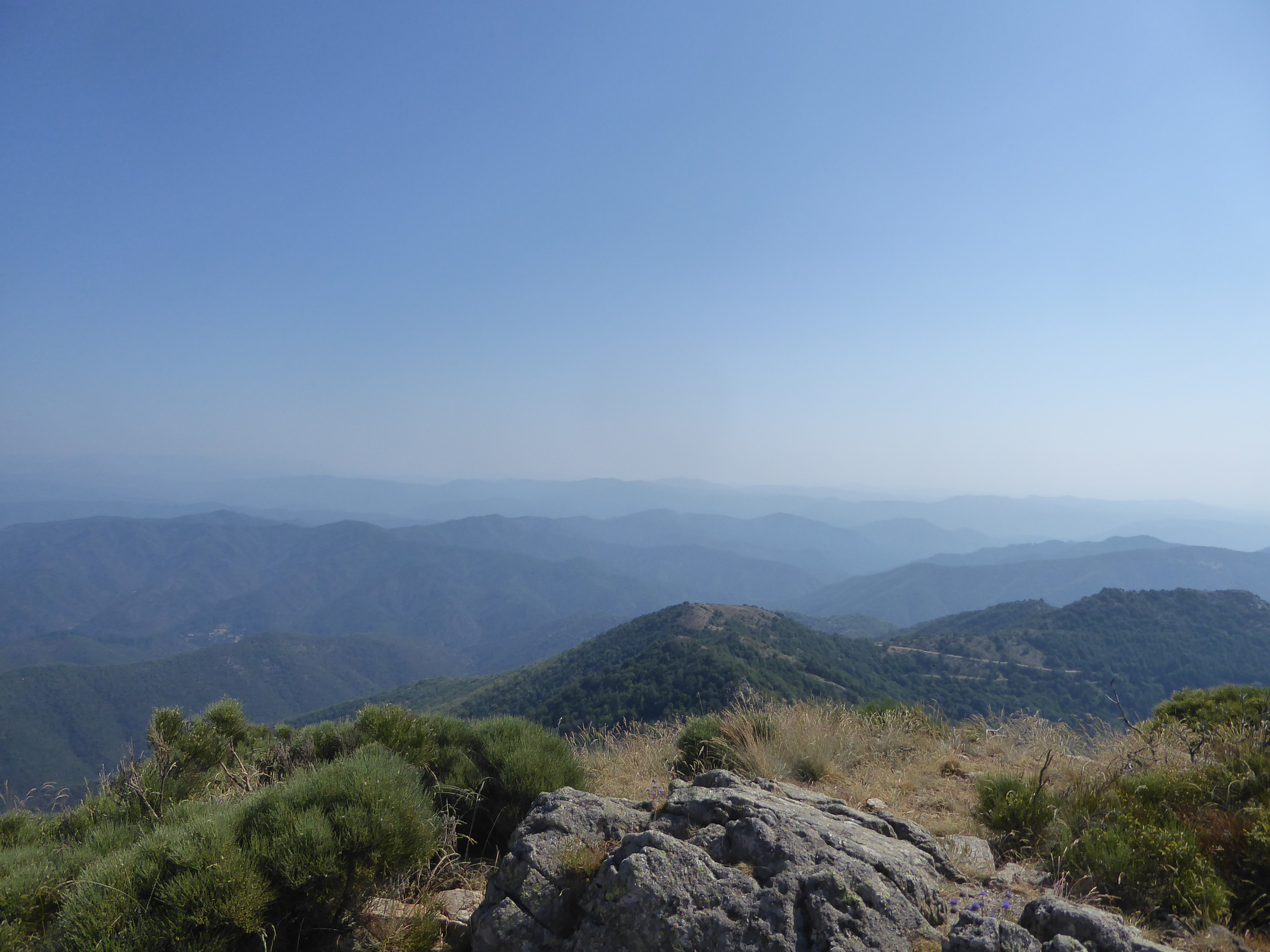
It is at the Col de l'Asclier, near Notre-Dame-de-la-Rouvière, that this short hike begins. The path leads to the Rocher de l'Aigle, offering a very beautiful view of the Mauripe and Mont Brion. On the way back, the path goes through the Col du Fageas. Pretty landscapes in perspective.

Already more than 200,000 users!
Uphill
249m
Highest point
1144m
Downhill
249m
Lowest point
902m
Route type
Loop
Download the map on your smartphone to save battery and rest assured to always keep access to the route, even without signal.
Includes IGN France and Swisstopo.
I indicate whether dogs are allowed or prohibited on this trail
All year
1 rating
Also enjoy:

Already more than 200,000 users!