Uphill
374m
Length
11km
Duration
4h
Elev gain
374m
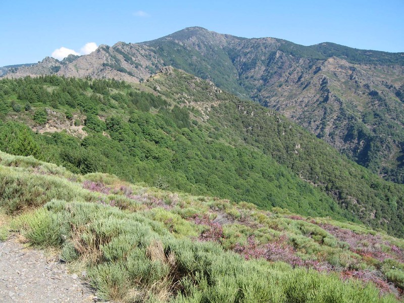
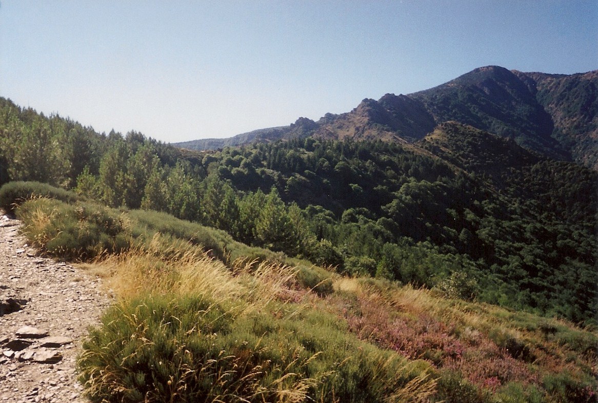
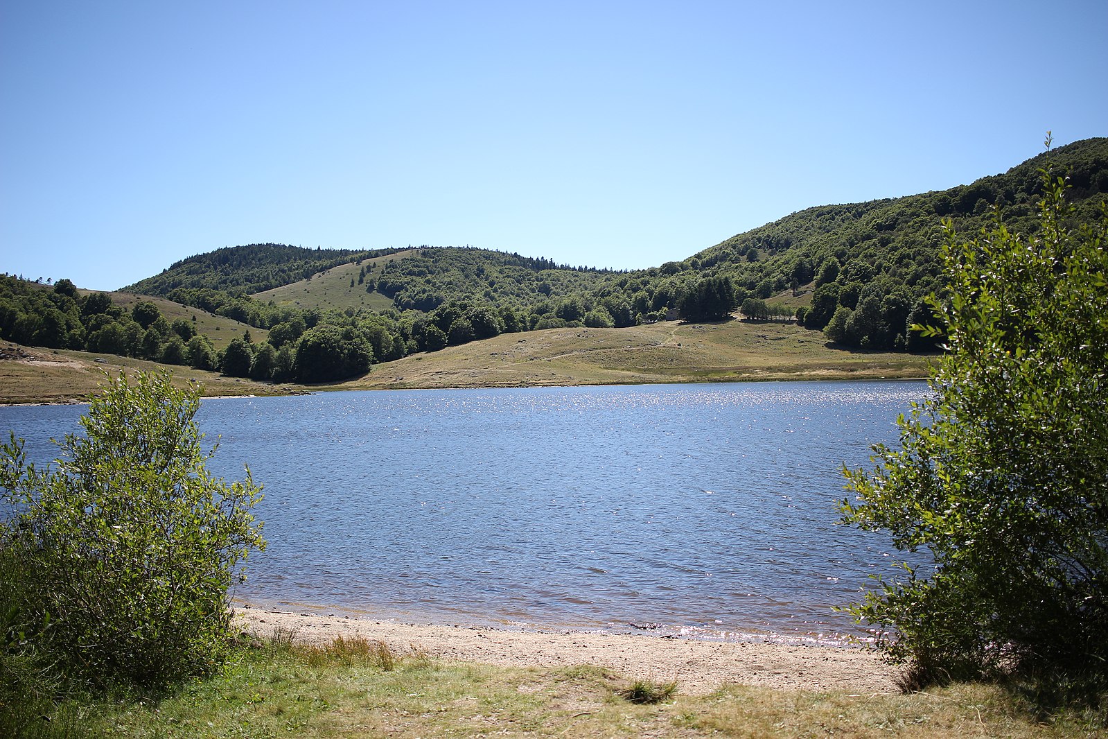
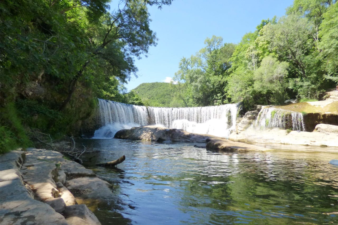
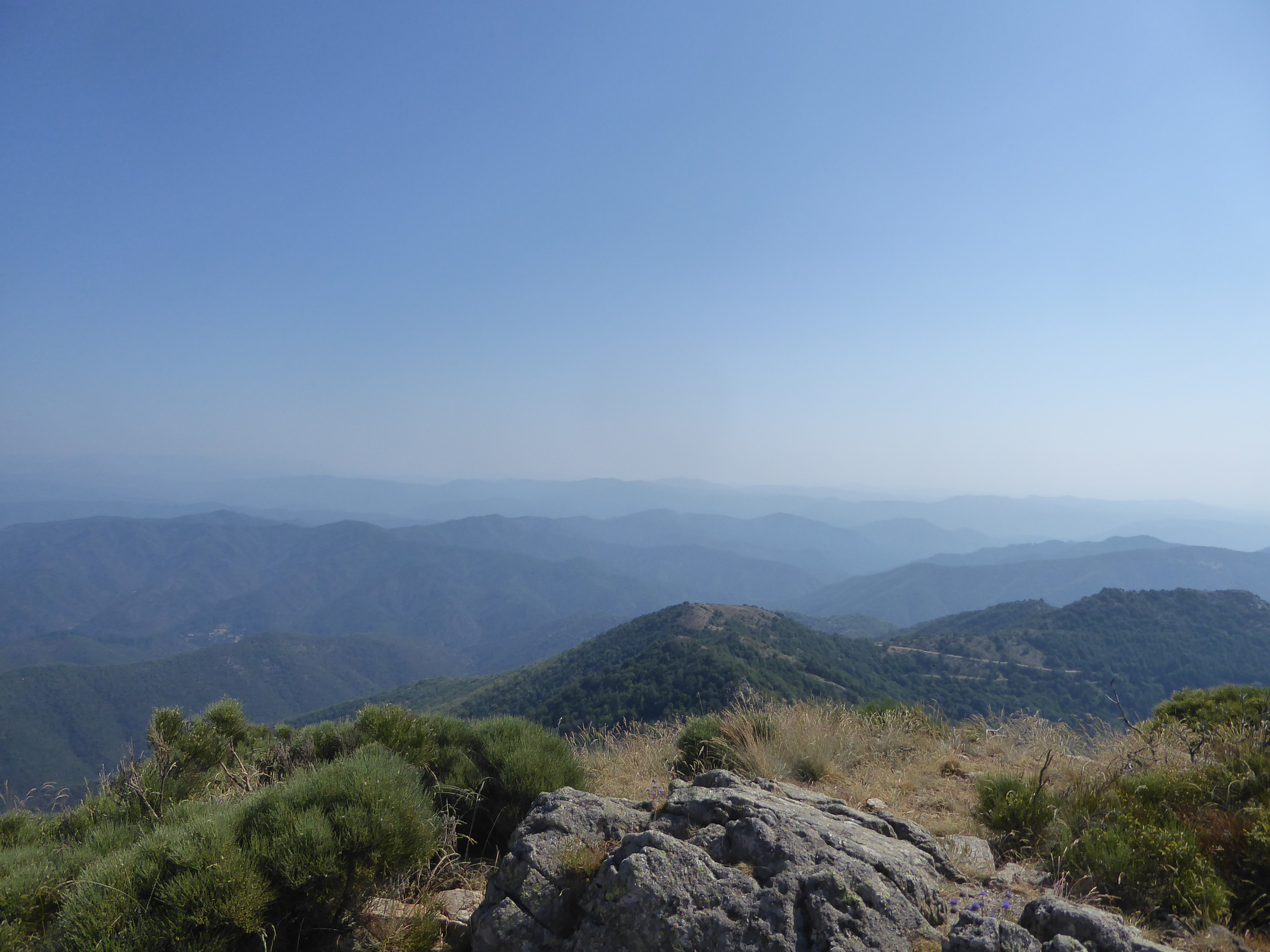
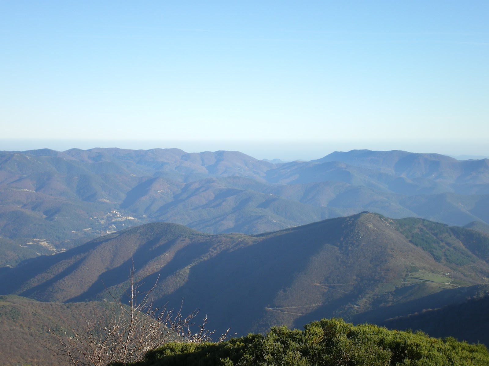
Nice hike in the Coudoulous valley. The trail offers diverse and varied landscapes: waterfalls, streams, valley, forest.
Note that the climb before reaching the Orgon waterfalls is steep.

Already more than 200,000 users!
Uphill
374m
Highest point
1339m
Downhill
374m
Lowest point
1076m
Route type
Loop
Download the map on your smartphone to save battery and rest assured to always keep access to the route, even without signal.
Includes IGN France and Swisstopo.
I indicate whether dogs are allowed or prohibited on this trail
Can be difficult in Winter
0 ratings
Also enjoy:

Already more than 200,000 users!