Uphill
508m
Length
10km
Duration
4h
Elev gain
508m
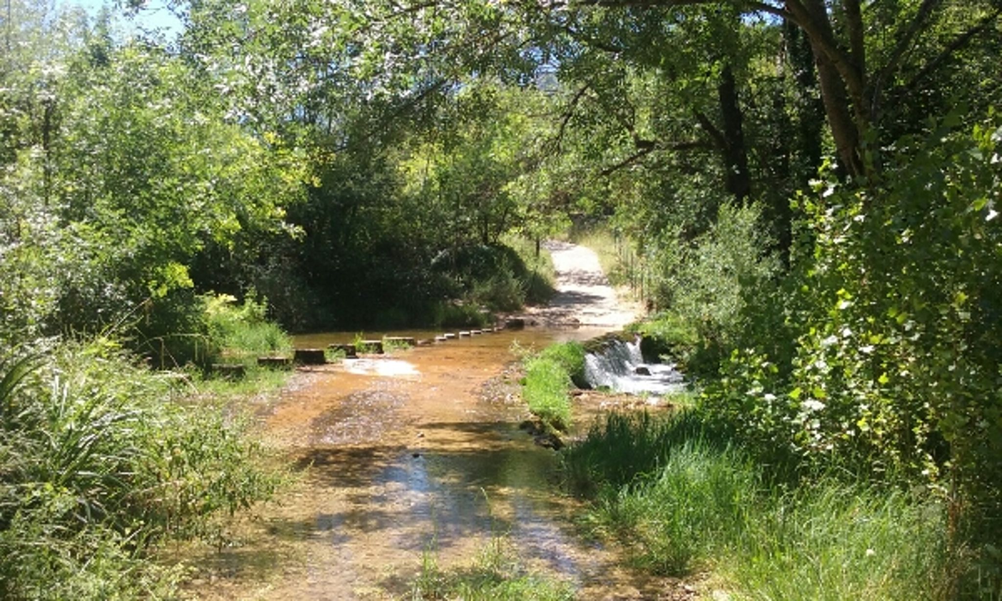
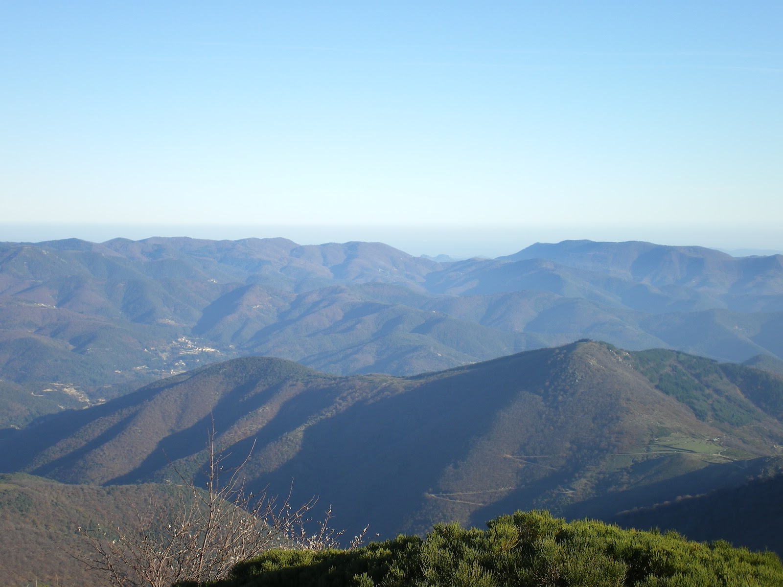
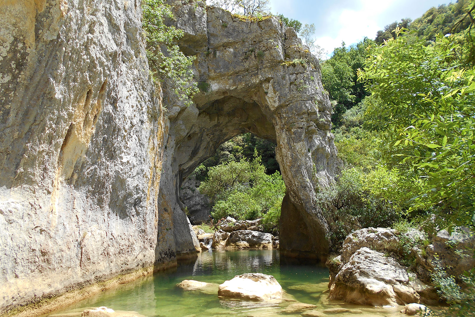
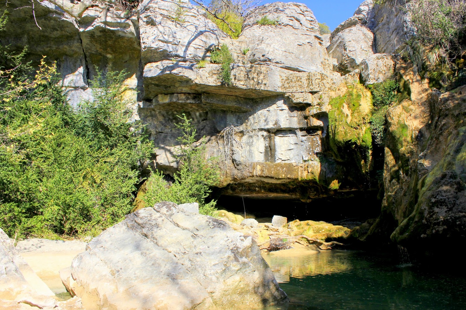
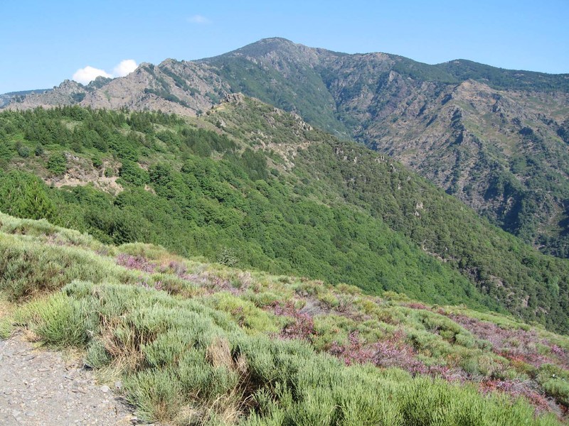
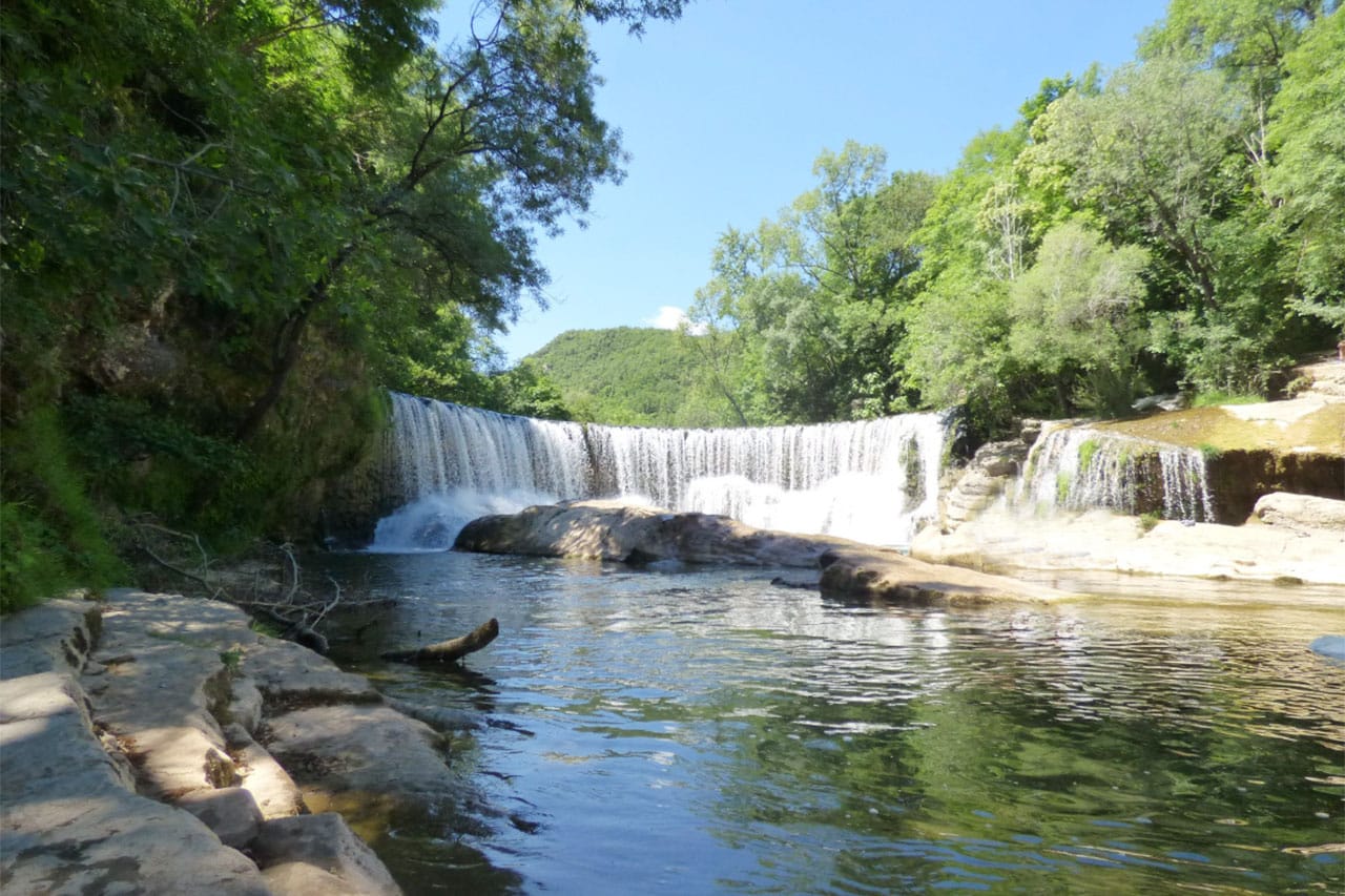
Magnificent hike from Saint-Laurent-le-Minier. The trail begins near the Vis waterfall and leads to the Anjeau cave. After a very steep and rocky start, the trail passes several ruined farms before arriving at the cave. The views over the valley are beautiful and numerous.

Already more than 200,000 users!
Uphill
508m
Highest point
646m
Downhill
508m
Lowest point
164m
Route type
Loop
Download the map on your smartphone to save battery and rest assured to always keep access to the route, even without signal.
Includes IGN France and Swisstopo.
I indicate whether dogs are allowed or prohibited on this trail
All year
4 ratings
La cascade et la grotte sont sympa mais pas trop de de point de vue et les chemins sont difficiles !
Also enjoy:

Already more than 200,000 users!