Uphill
87m
Length
8km
Duration
2h
Elev gain
87m
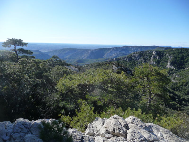
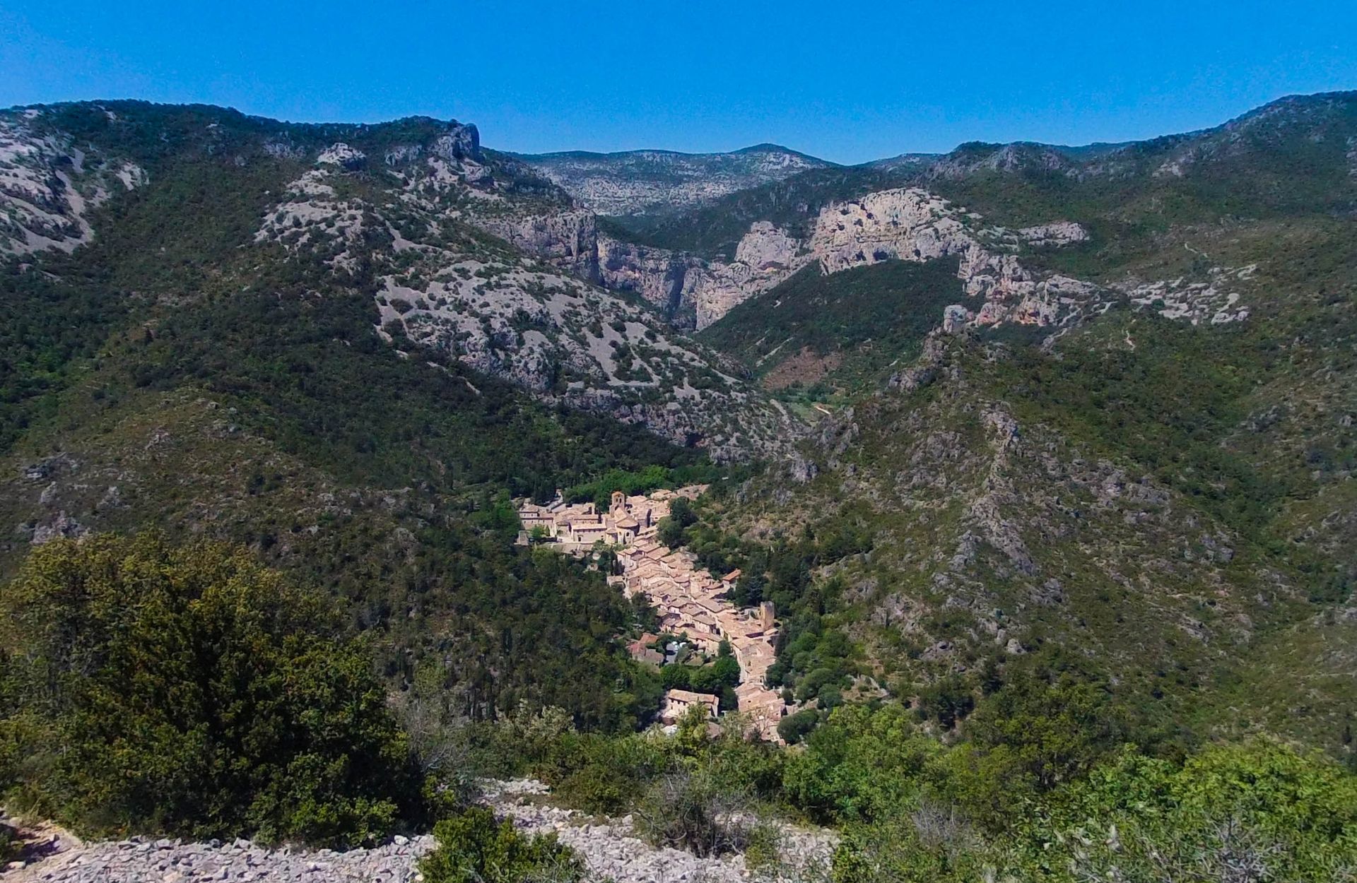
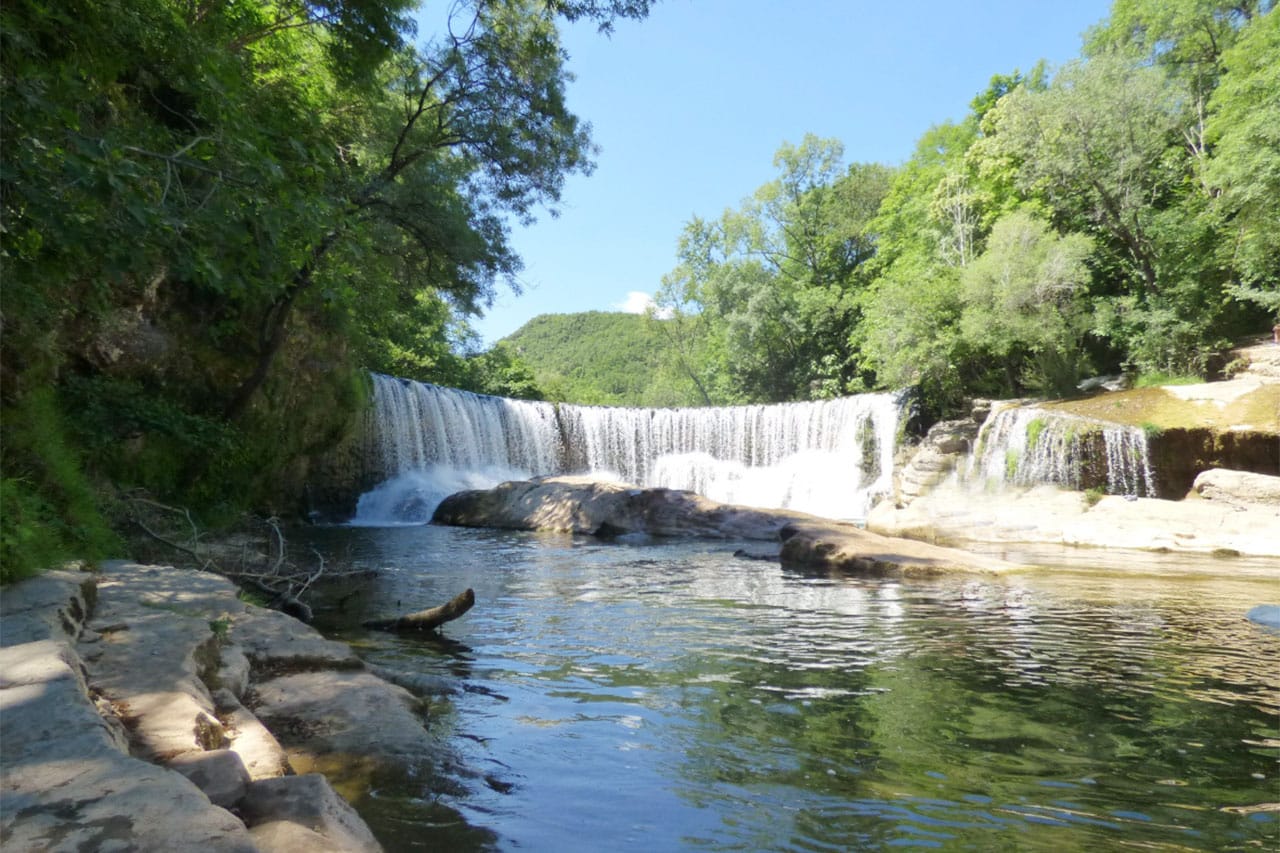
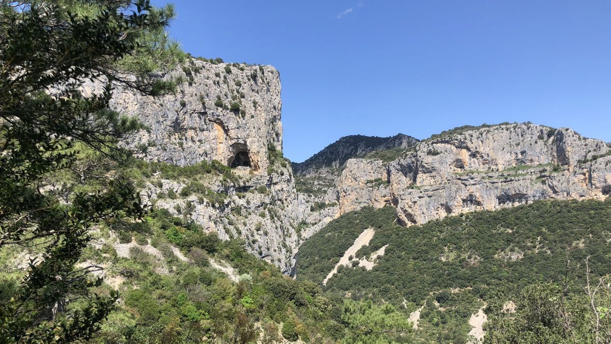
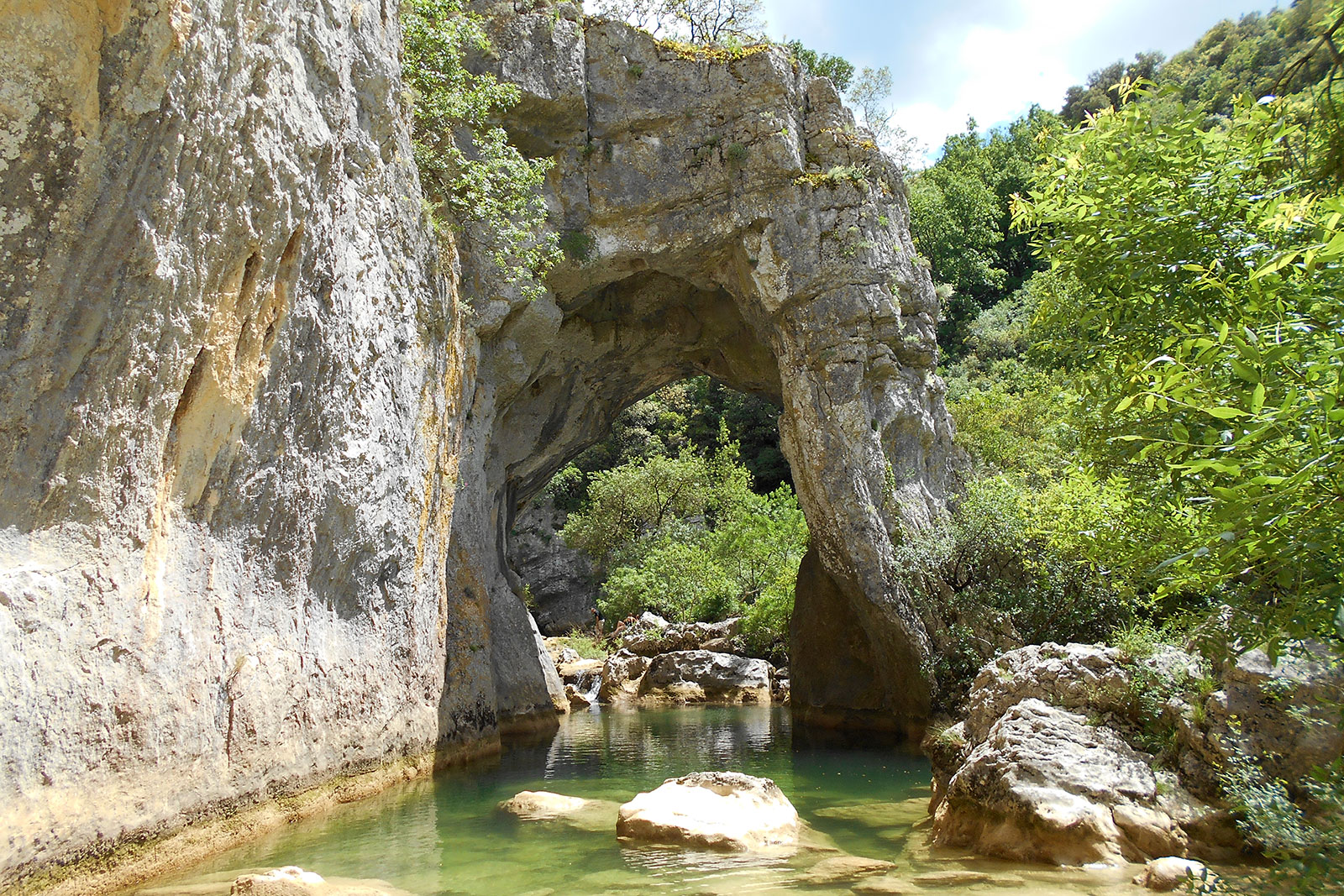
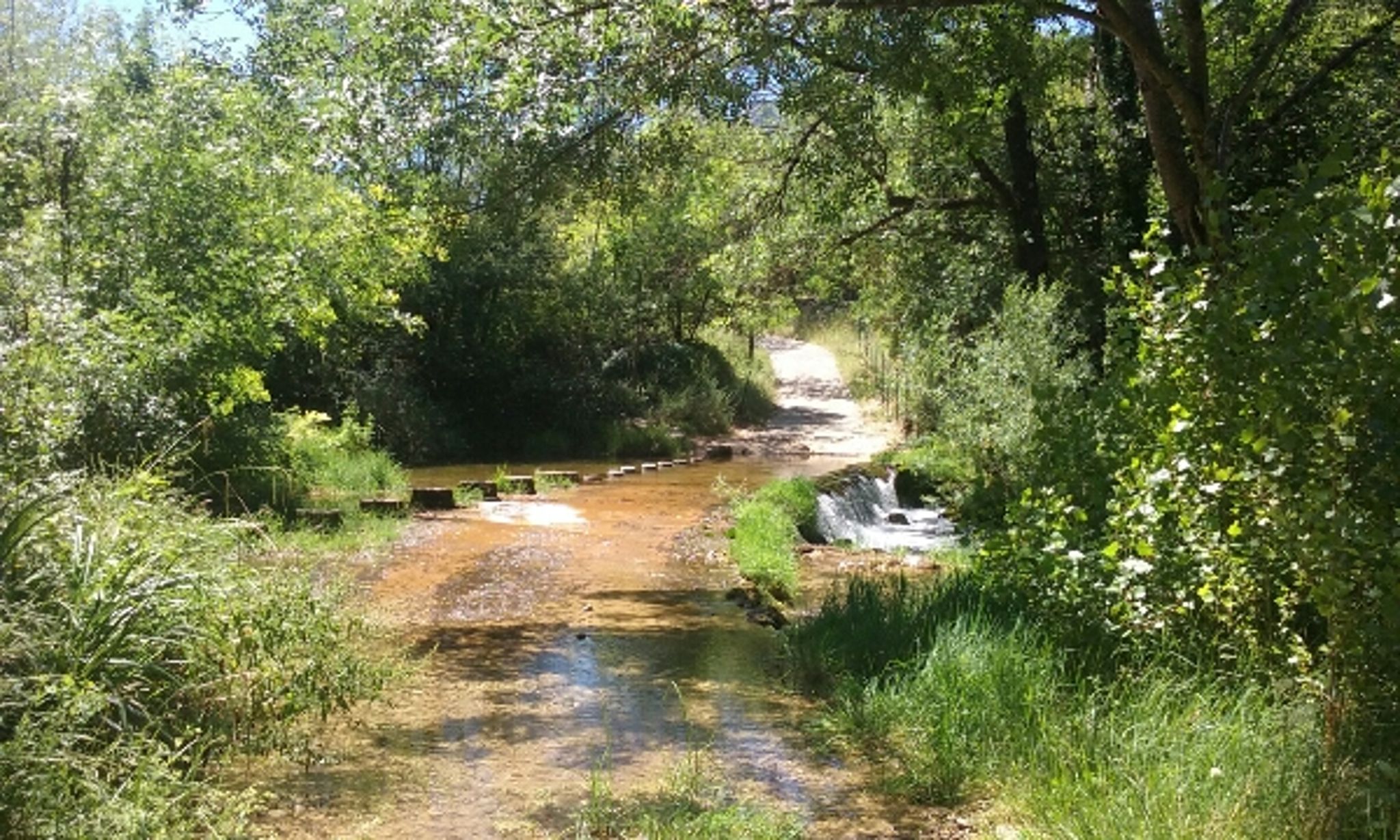
This trail starting from Saint-Jean-de-Buèges runs along the Buèges river. Small waterfalls are present depending on the season.
Ideal for a picnic and to cool off by the water.

Already more than 200,000 users!
Uphill
87m
Highest point
186m
Downhill
87m
Lowest point
123m
Route type
Loop
Download the map on your smartphone to save battery and rest assured to always keep access to the route, even without signal.
Includes IGN France and Swisstopo.
I indicate whether dogs are allowed or prohibited on this trail
All year
1 rating
Also enjoy:

Already more than 200,000 users!