Uphill
639m
Length
12km
Duration
5h
Elev gain
639m
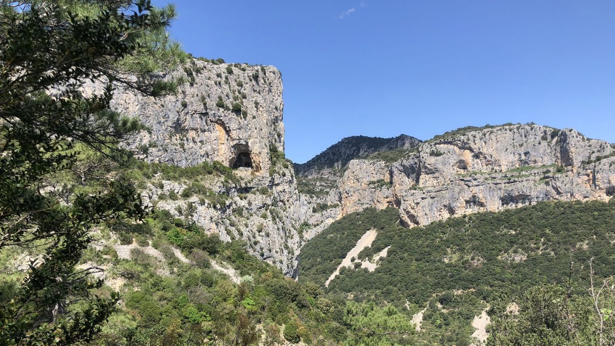
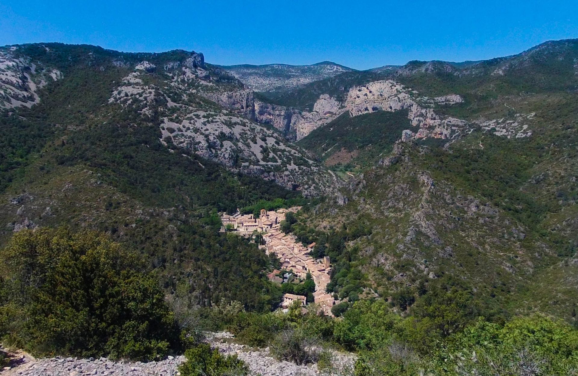
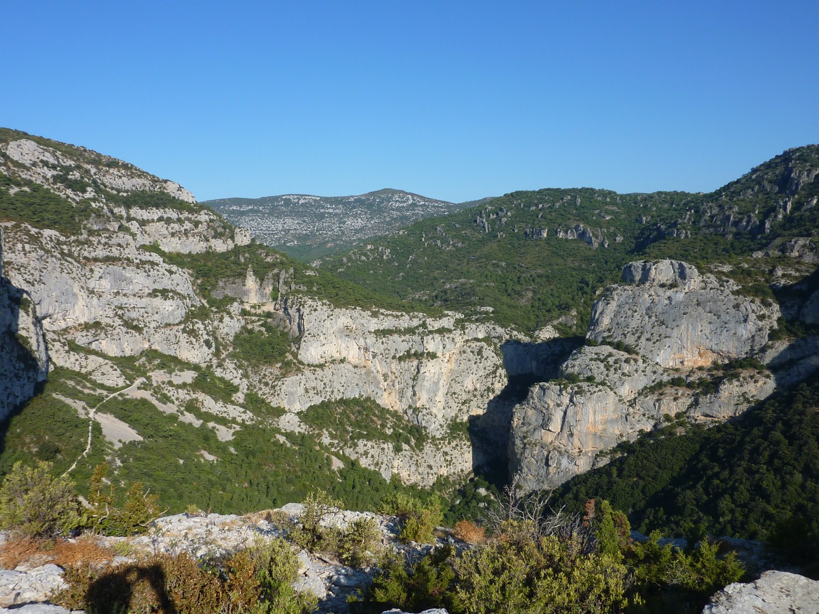
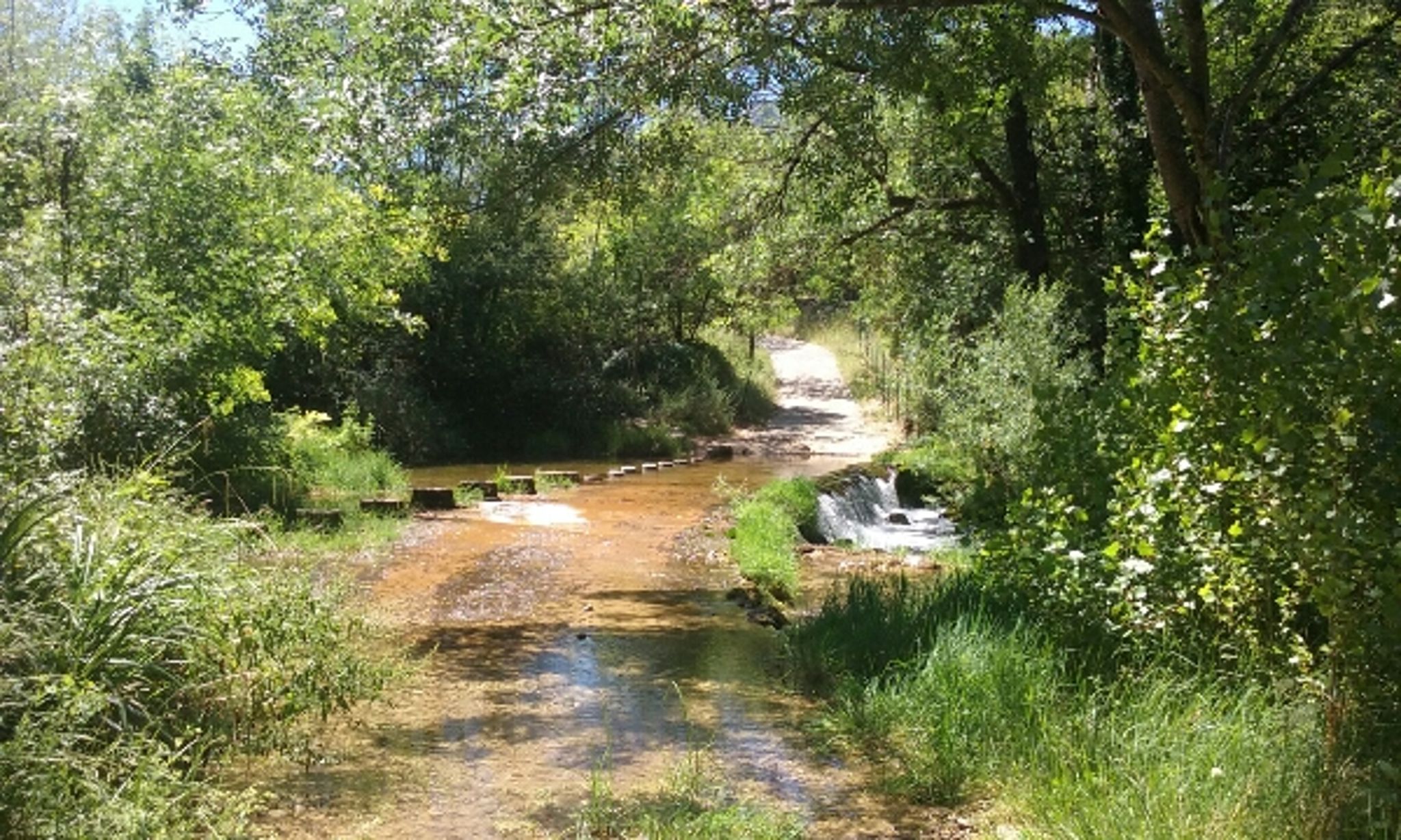
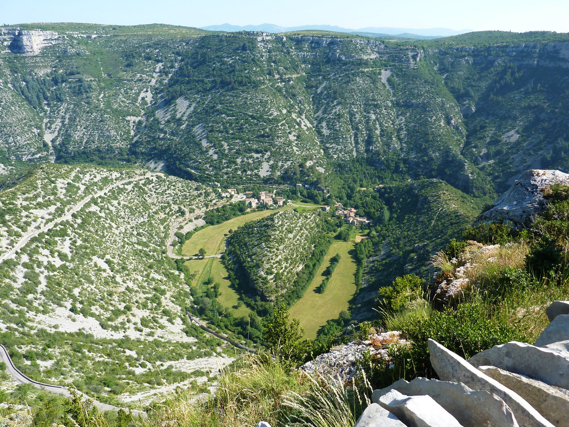
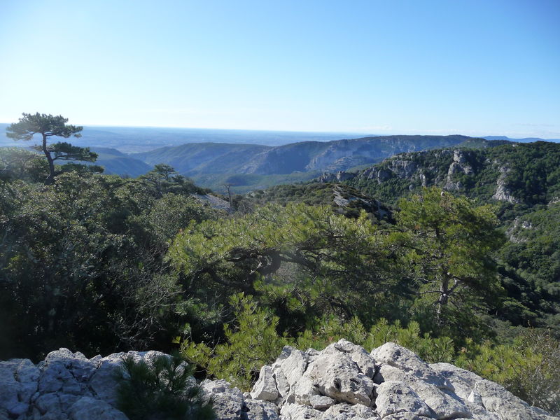
Varied landscapes, cave, and spectacular view, make it a very pleasant hike.

Already more than 200,000 users!
Uphill
639m
Highest point
692m
Downhill
638m
Lowest point
68m
Route type
Loop
Download the map on your smartphone to save battery and rest assured to always keep access to the route, even without signal.
Includes IGN France and Swisstopo.
I indicate whether dogs are allowed or prohibited on this trail
All year
0 ratings
Also enjoy:

Already more than 200,000 users!