Uphill
228m
Length
8km
Duration
2h30min
Elev gain
228m
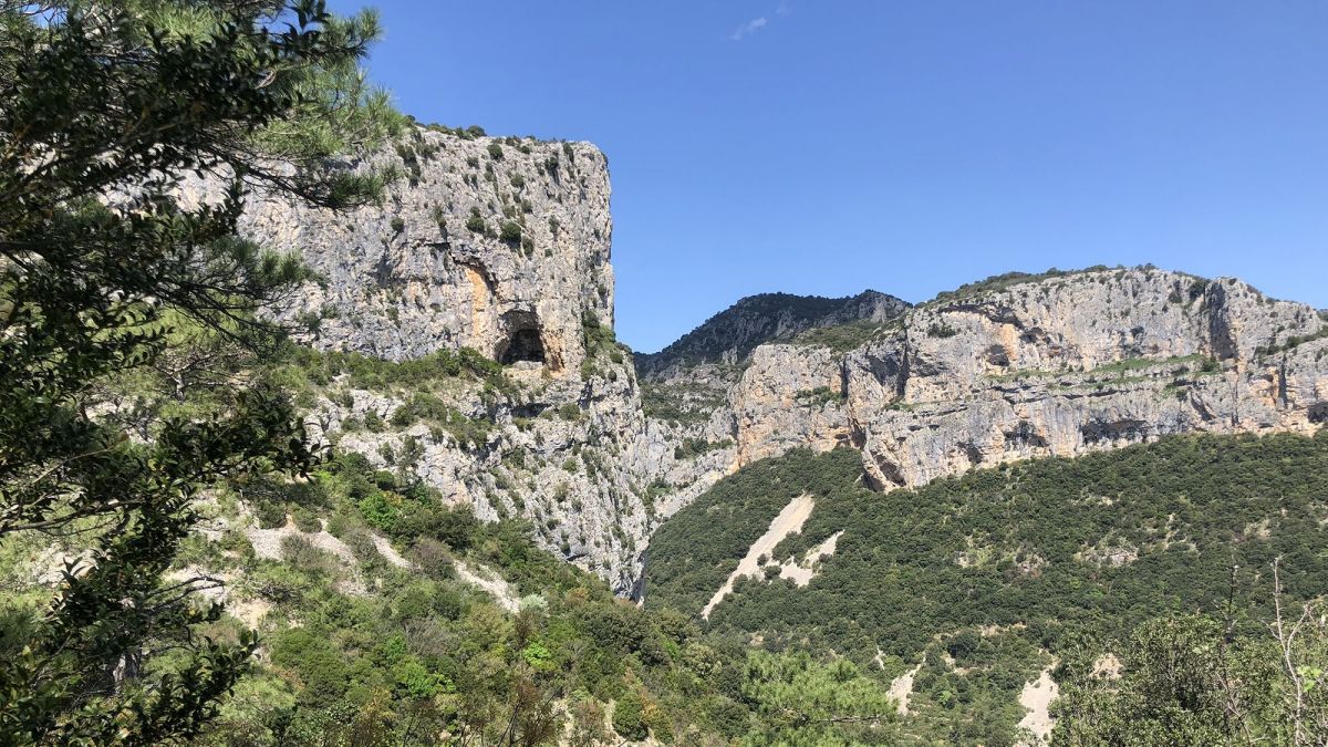
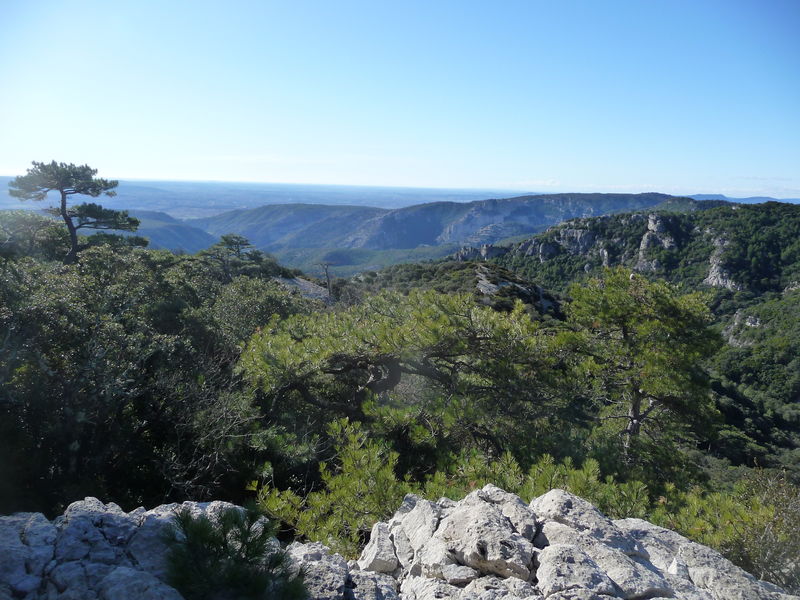
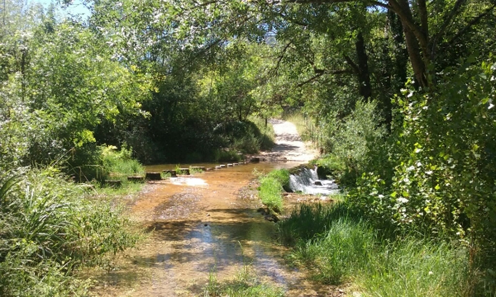
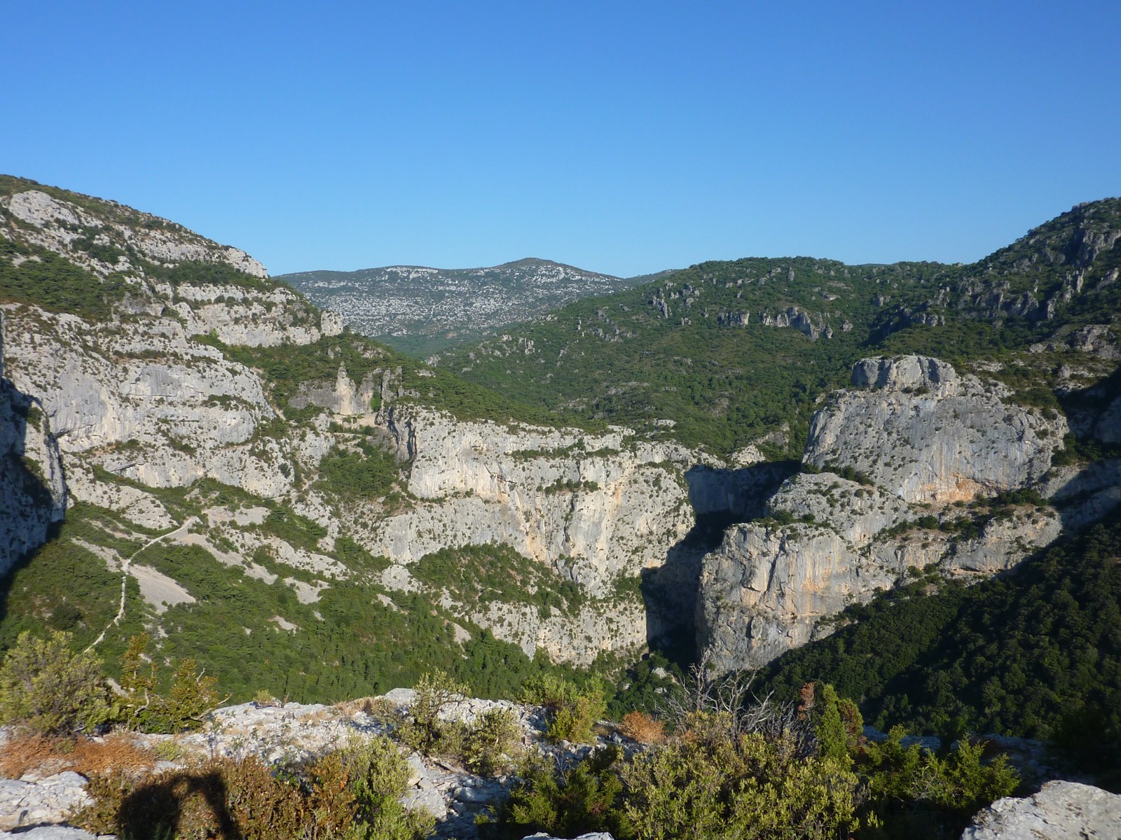
The start of this hike is near Saint-Jean-de-Fos. After passing through the Contrebandier cave, the trail continues to a small plateau where the view is very beautiful.
It should be noted, however, that this route takes a large part of wide tracks.

Already more than 200,000 users!
Uphill
228m
Highest point
354m
Downhill
228m
Lowest point
130m
Route type
There and back
Download the map on your smartphone to save battery and rest assured to always keep access to the route, even without signal.
Includes IGN France and Swisstopo.
I indicate whether dogs are allowed or prohibited on this trail
All year
1 rating
Also enjoy:

Already more than 200,000 users!