Uphill
613m
Length
10km
Duration
4h30min
Elev gain
613m
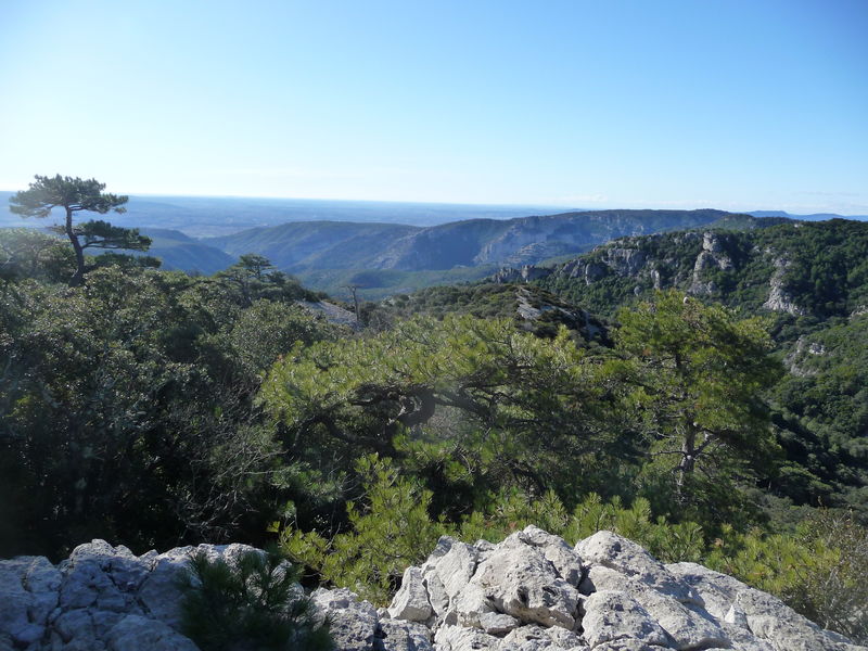
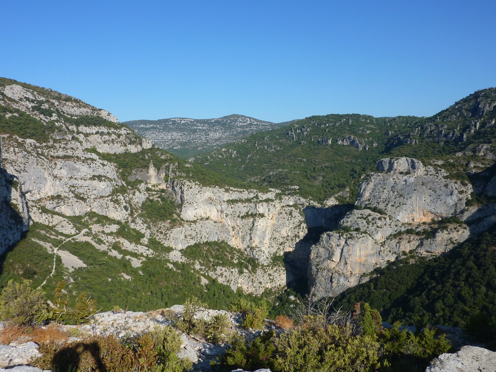
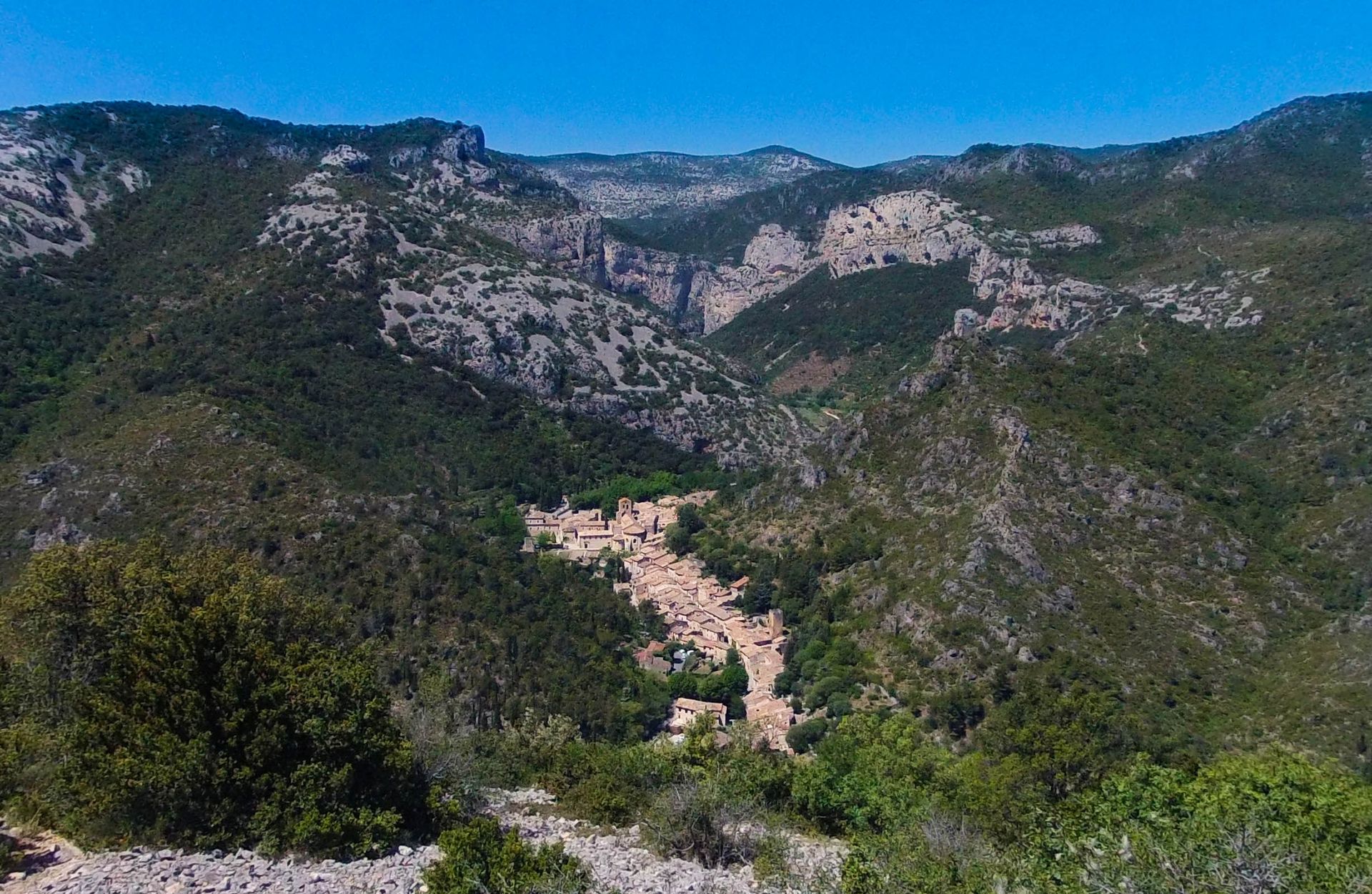
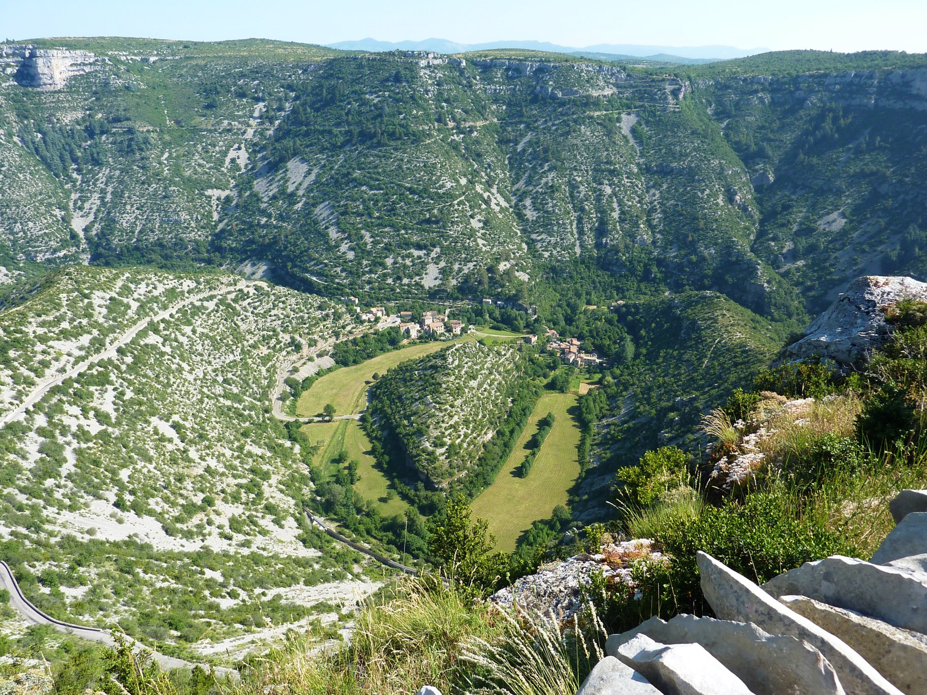
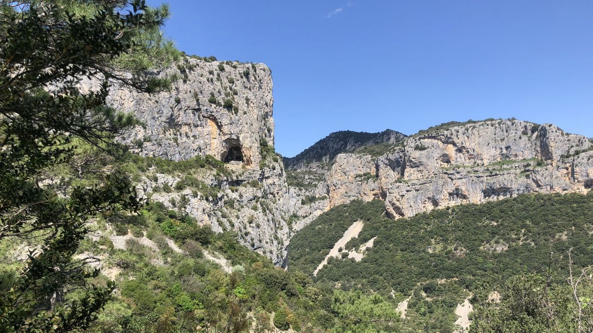
Marked trail known as "circuit des Fenestrettes", offering stunning panoramas in a landscape of scrubland. The village of Saint-Guilhem-le-Désert is also worth a stop.

Already more than 200,000 users!
Uphill
613m
Highest point
551m
Downhill
613m
Lowest point
100m
Route type
Loop
Download the map on your smartphone to save battery and rest assured to always keep access to the route, even without signal.
Includes IGN France and Swisstopo.
I indicate whether dogs are allowed or prohibited on this trail
All year
2 ratings
Also enjoy:

Already more than 200,000 users!