Uphill
308m
Length
15km
Duration
4h30min
Elev gain
308m
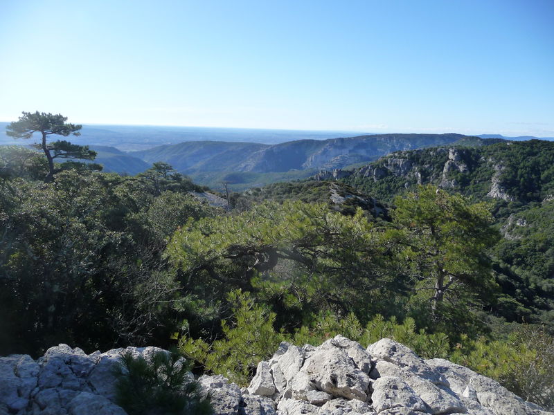
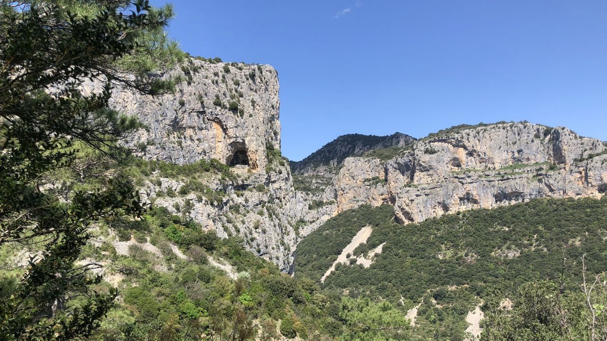
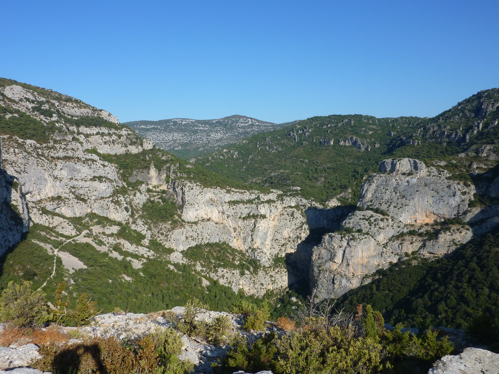
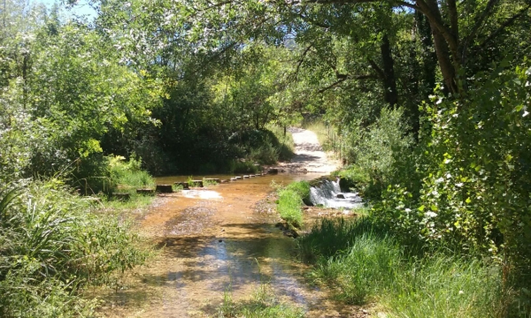
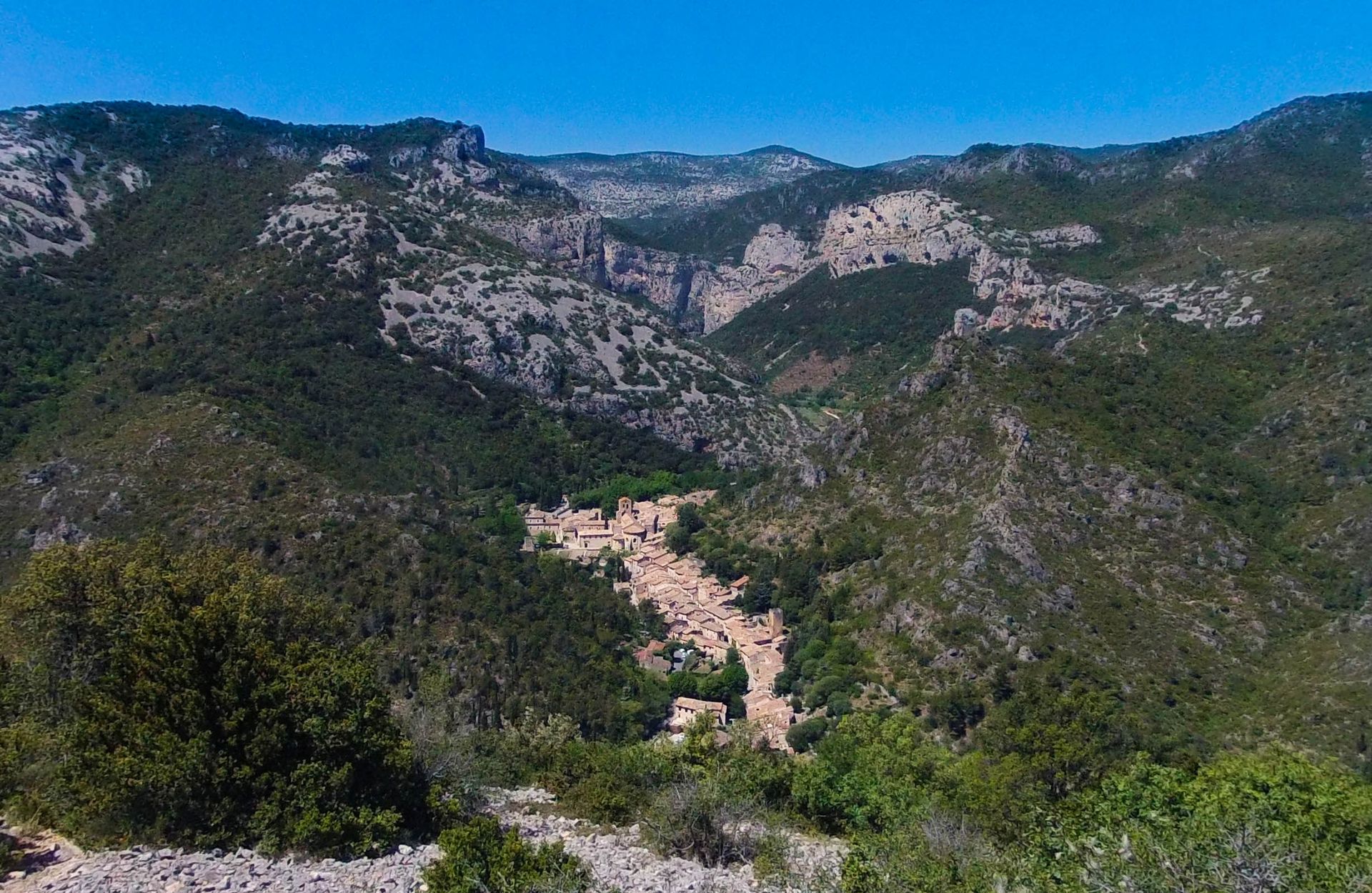
Here is a loop trail on the Montcalmès plateau. The path passes by the chapel of Saint-Sylvestre before beginning a steep climb to a belvedere offering a superb view of Saint-Guilhem-le-Désert. You must then turn around and continue to the starting point via Lavène.

Already more than 200,000 users!
Uphill
308m
Highest point
298m
Downhill
308m
Lowest point
52m
Route type
Loop
Download the map on your smartphone to save battery and rest assured to always keep access to the route, even without signal.
Includes IGN France and Swisstopo.
I indicate whether dogs are allowed or prohibited on this trail
All year
0 ratings
Also enjoy:

Already more than 200,000 users!