Uphill
20m
Length
3km
Duration
1h
Elev gain
20m
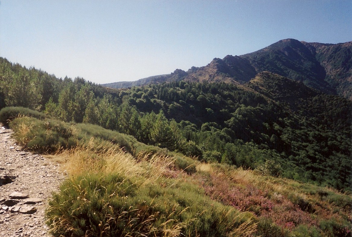
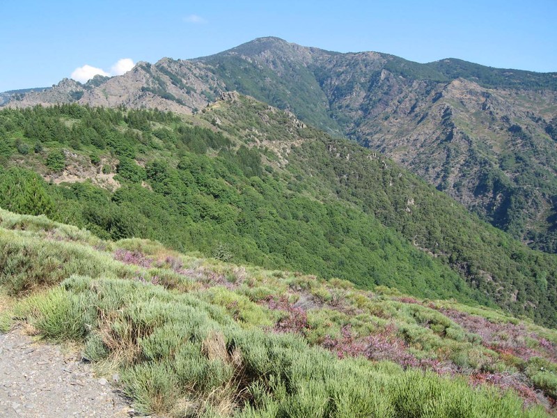
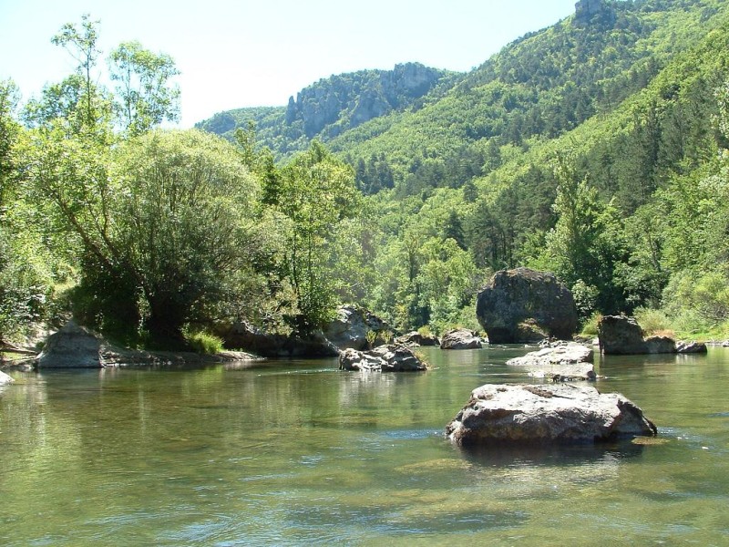
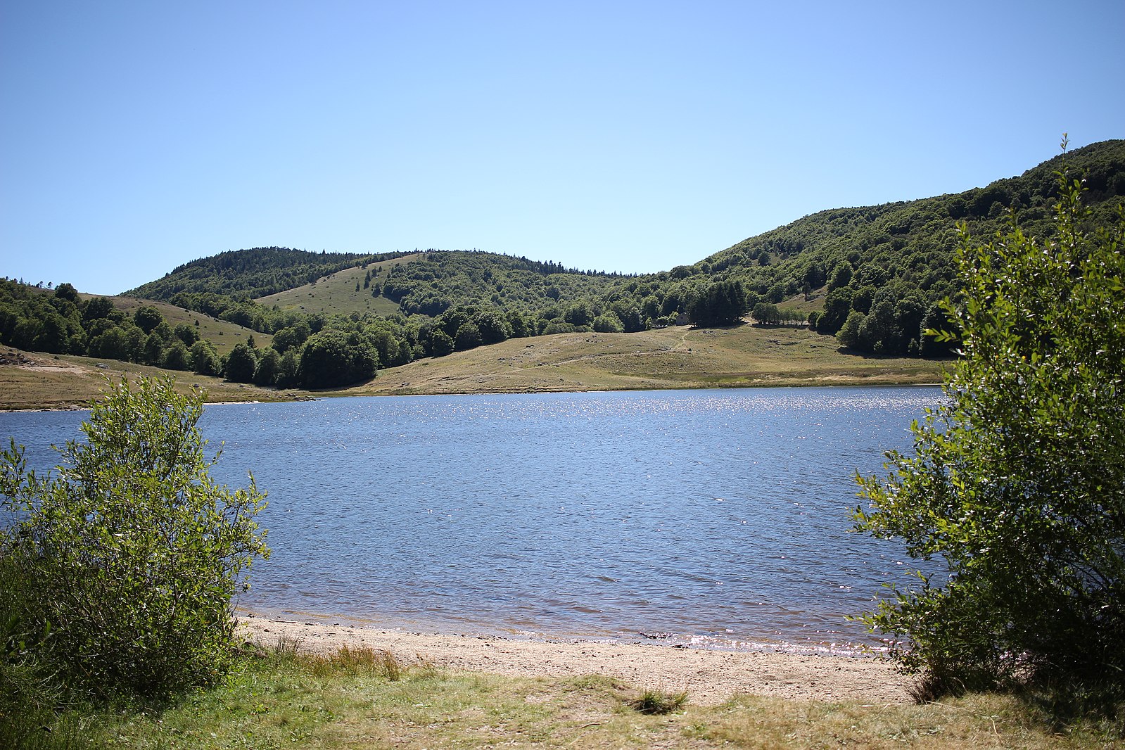
Easy walk around an artificial lake in the Cévennes, on a path alternating between forest and semi-desert expanses.

Already more than 200,000 users!
Uphill
20m
Highest point
1275m
Downhill
20m
Lowest point
1252m
Route type
Loop
Download the map on your smartphone to save battery and rest assured to always keep access to the route, even without signal.
Includes IGN France and Swisstopo.
Authorised on a leash
Can be difficult in Winter
0 ratings
Also enjoy:

Already more than 200,000 users!