Uphill
973m
Length
14km
Duration
6h30min
Elev gain
973m
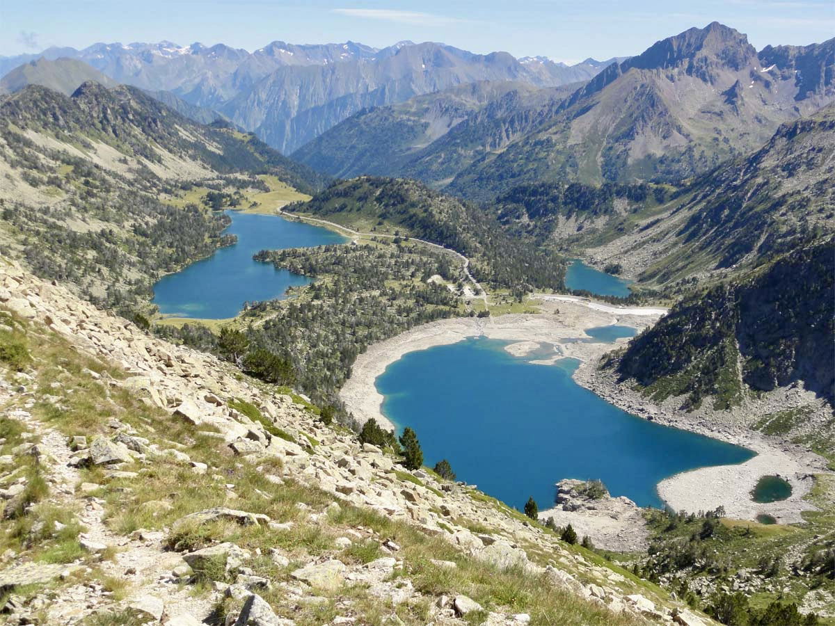
Departing from the Tournaboup parking near Barèges, this first leg of a 3-day mini-trek allows you to immerse yourself in the heart of the Néouvielle reserve.
The path begins by climbing to reach the Lac des Coubous, then a multitude of smaller bodies of water. The setting then becomes more mineral as the path reaches Hourquette d'Aubert (2,498m), the highest point of the leg, which offers a superb panorama of the peak of Néouvielle and the lakes of Aubert and Aumar.
The route continues with a descent between these two lakes, until you reach the refuge of Orédon located on the shores of the lake of the same name.

Already more than 200,000 users!
Uphill
973m
Highest point
2504m
Downhill
669m
Lowest point
1542m
Route type
One way
Download the map on your smartphone to save battery and rest assured to always keep access to the route, even without signal.
Includes IGN France and Swisstopo.
Shelter at the end of the stage.
I indicate whether dogs are allowed or prohibited on this trail
From June to September
1 rating
Also enjoy:

Already more than 200,000 users!


