Uphill
974m
Length
16km
Duration
7h
Elev gain
974m
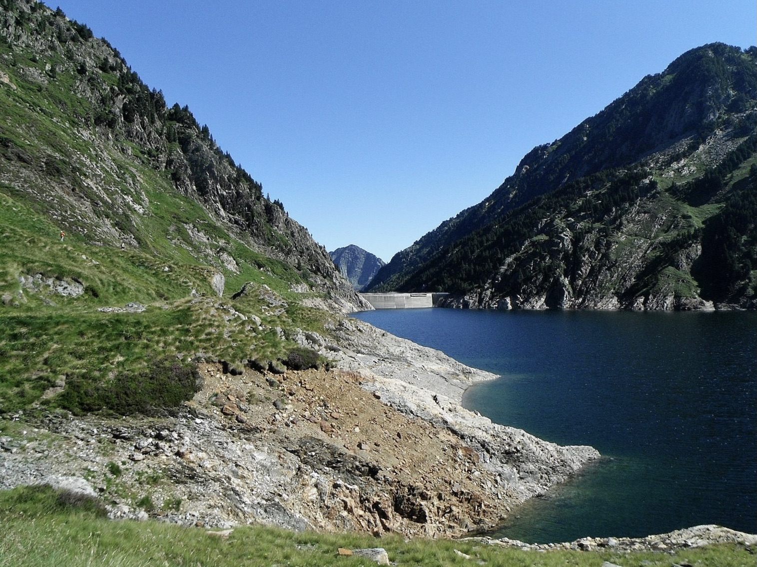
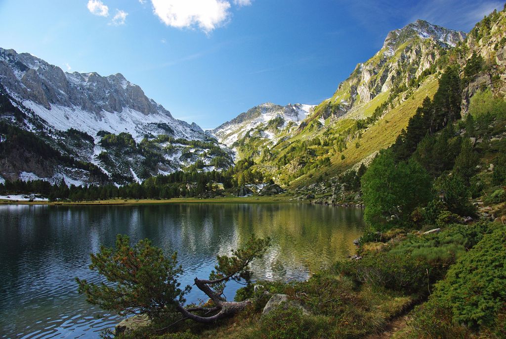
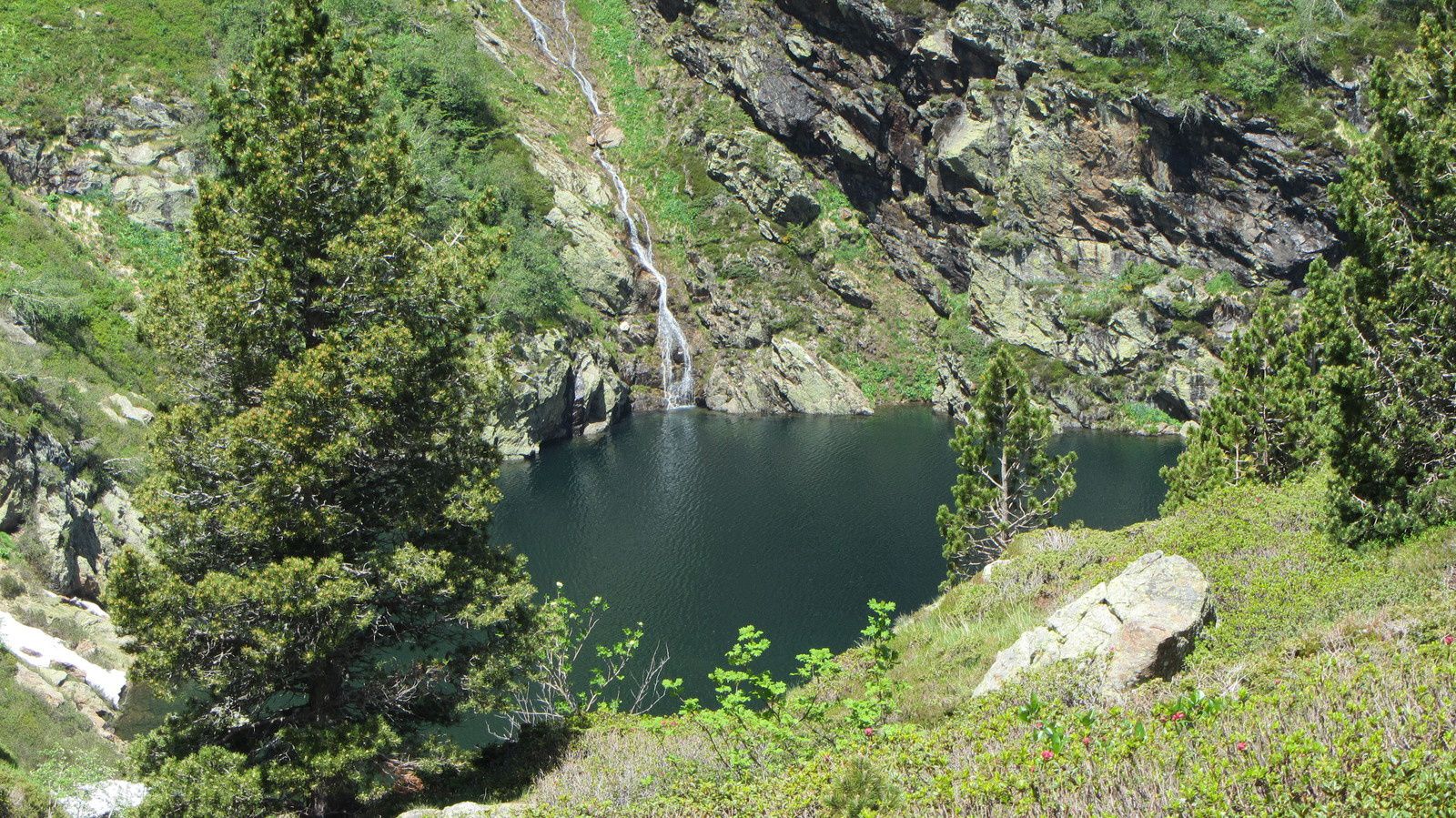
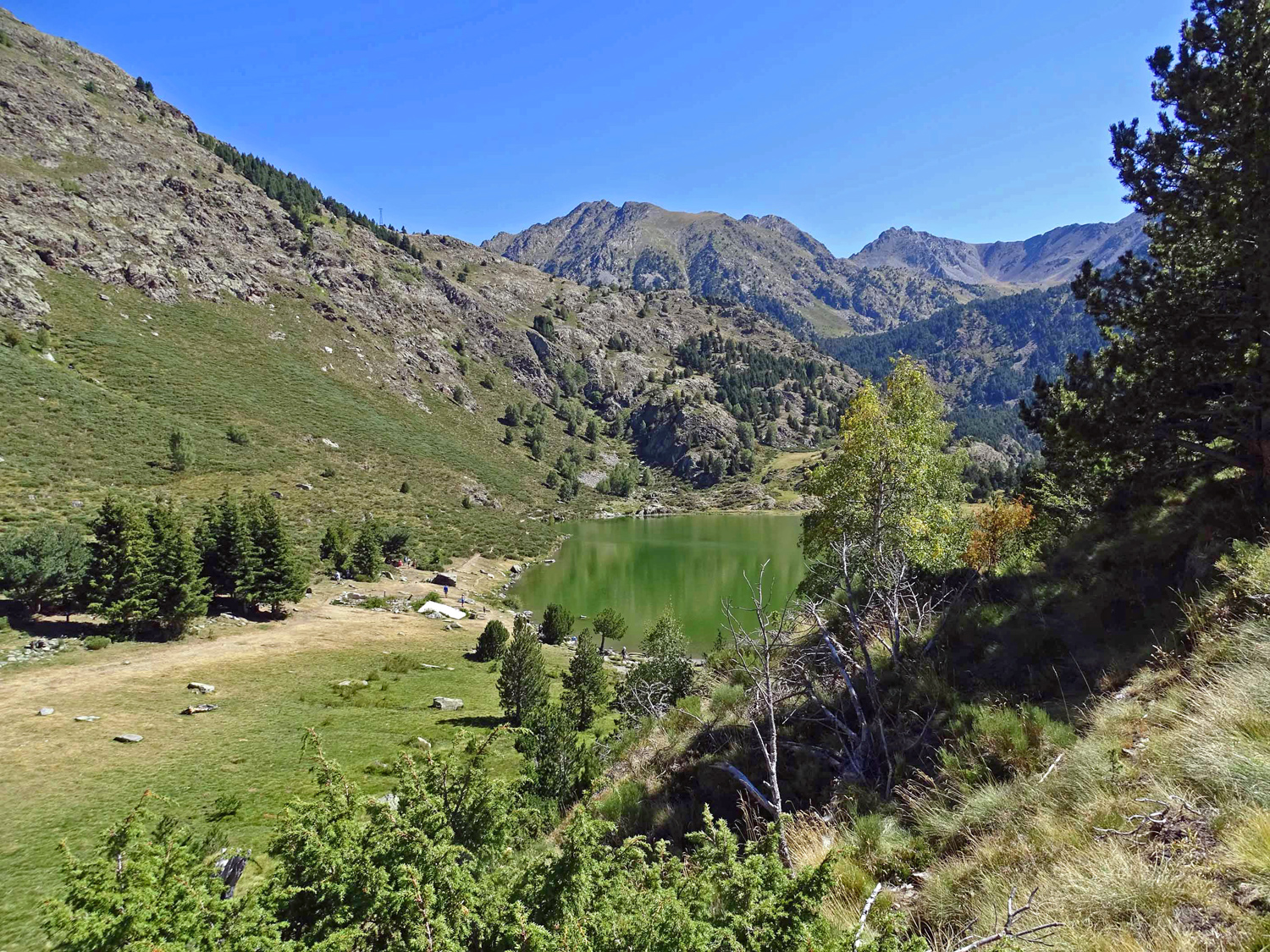
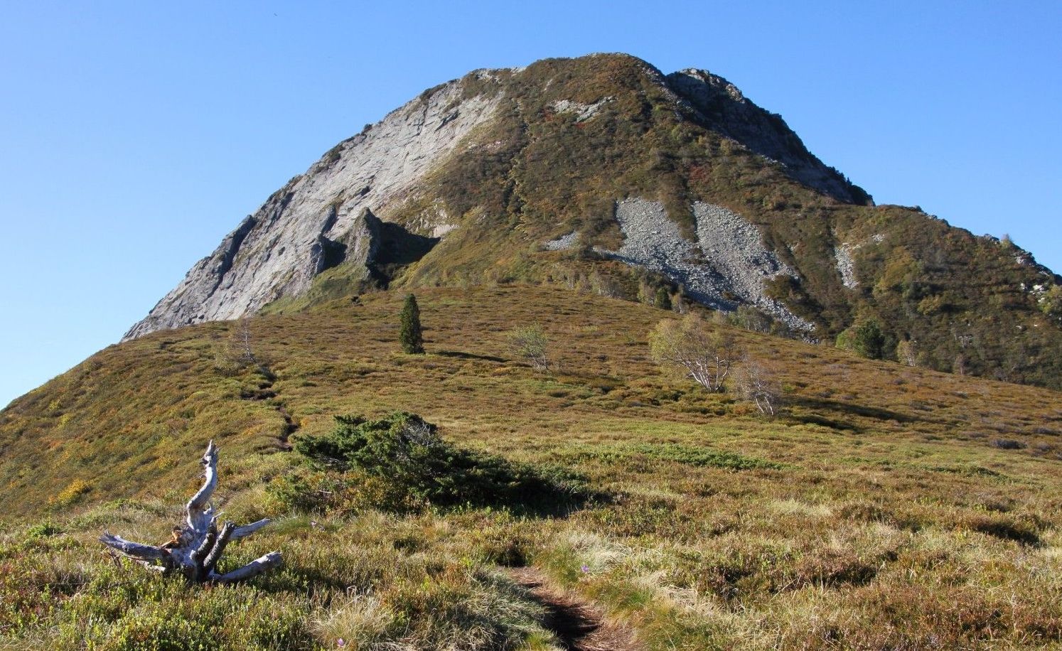
Ascent of the Dent d'Orlu which culminates at 2,222 meters. The first part of the hike is in the shade of the trees while the second part is in the open. Once the summit is reached, the 360° view is magnificent.

Already more than 200,000 users!
Uphill
974m
Highest point
2097m
Downhill
974m
Lowest point
1264m
Route type
There and back
Download the map on your smartphone to save battery and rest assured to always keep access to the route, even without signal.
Includes IGN France and Swisstopo.
I indicate whether dogs are allowed or prohibited on this trail
From May to September
0 ratings
Also enjoy:

Already more than 200,000 users!