Uphill
287m

Length
6km
Duration
2h30min
Elev gain
287m
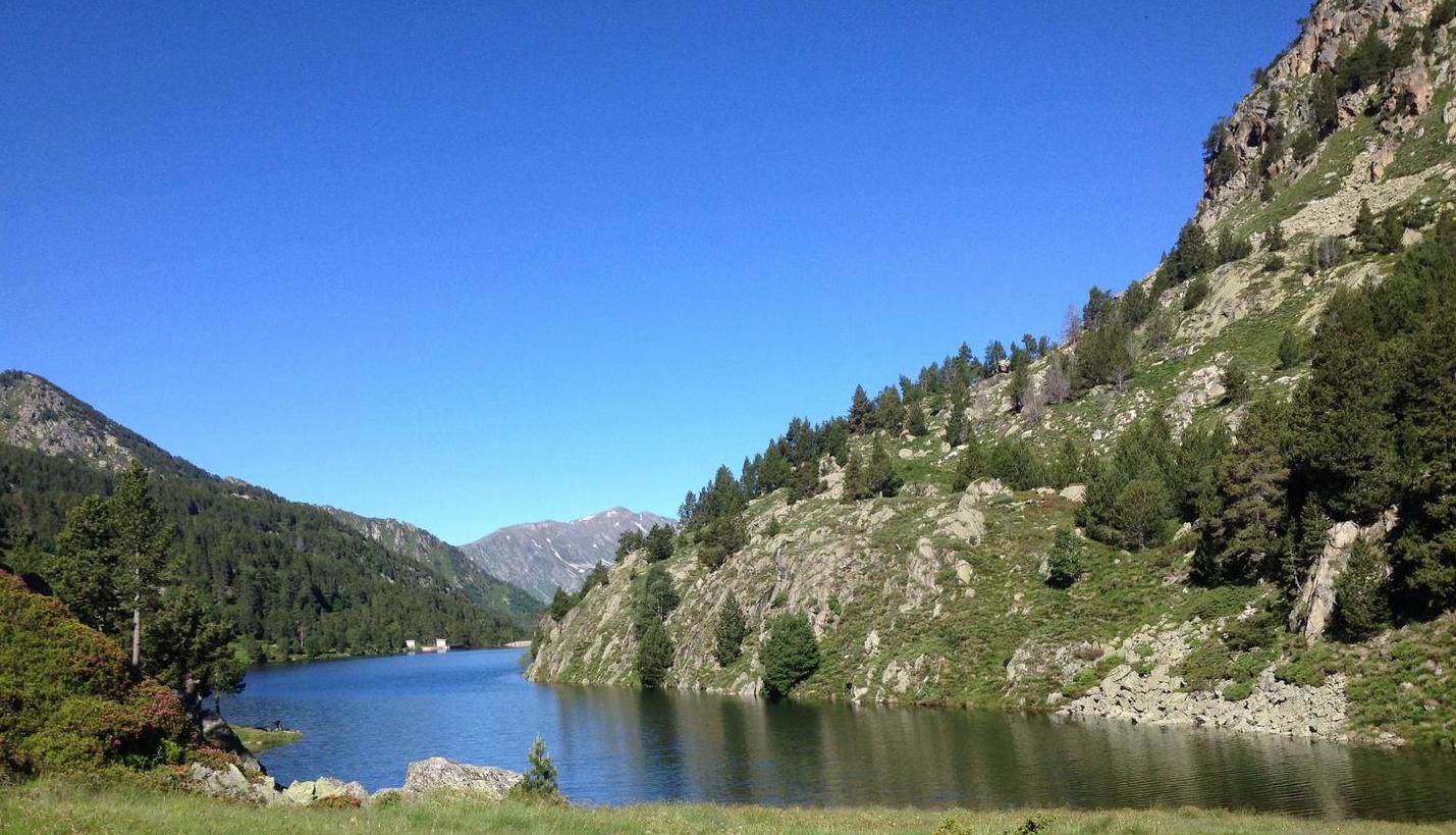
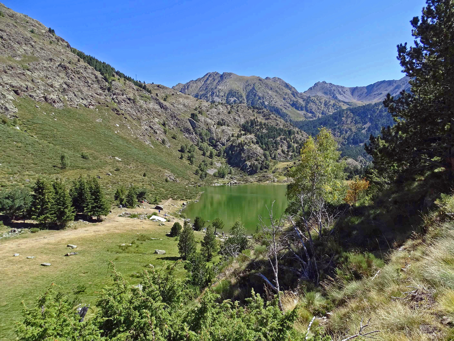
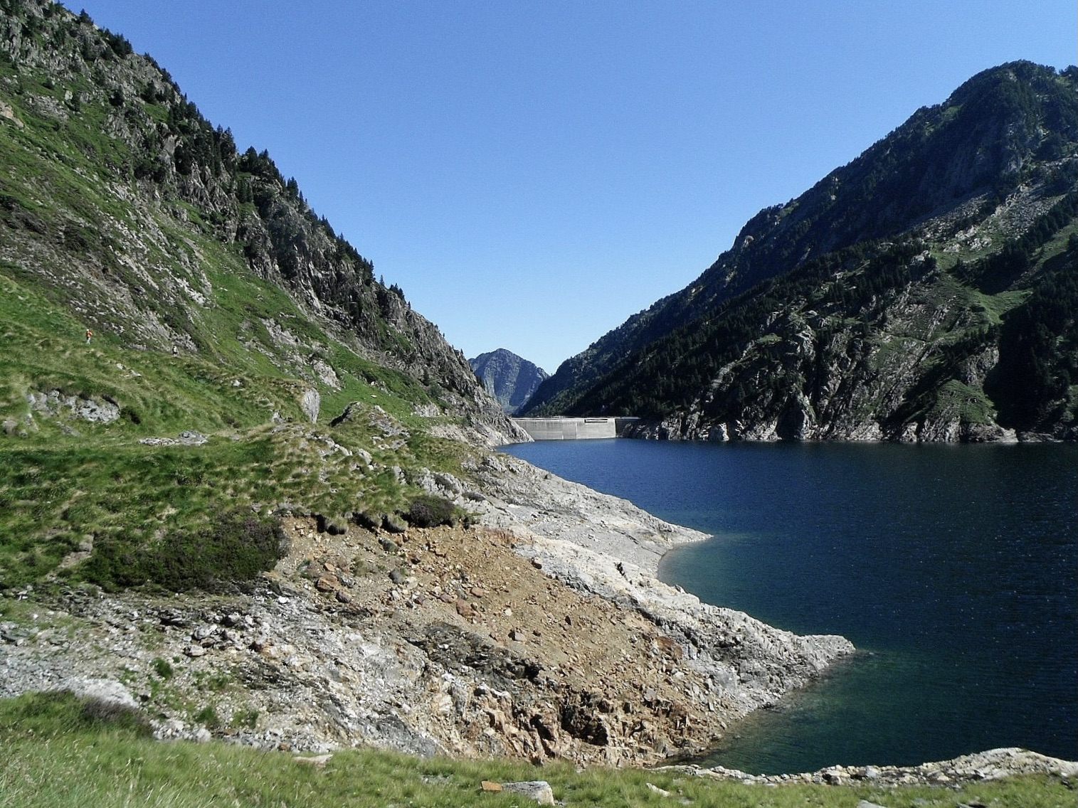
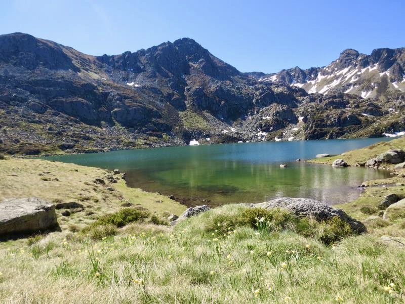
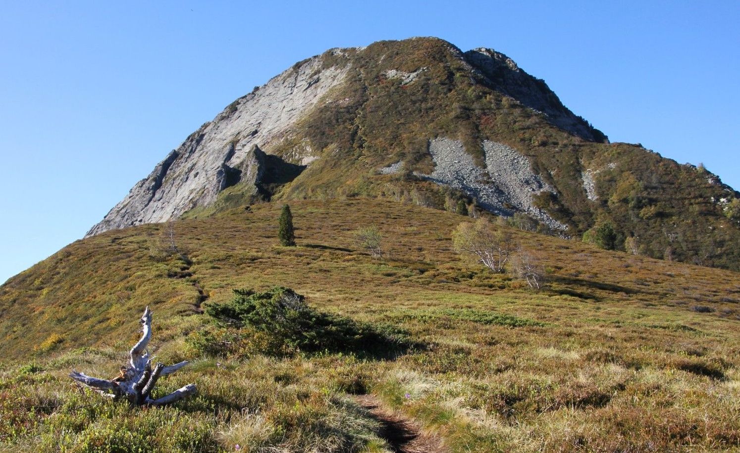
Departing from the heights of Mérens-les-Vals, this round trip walk runs along the Mourguillou stream and crosses many pastures, before reaching the very beautiful Comte pond. A relatively accessible and ideal trail for families.

Already more than 200,000 users!
Uphill
287m
Highest point
1731m
Downhill
287m
Lowest point
1444m
Route type
There and back
Download the map on your smartphone to save battery and rest assured to always keep access to the route, even without signal.
Includes IGN France and Swisstopo.
Authorised on a leash
From May to October
4 ratings
Très bon sentier, l’accès en voiture est juste très compliqué pour arriver au parking, beaucoup de nids de poule, gravillons, route serrée et juste pour 2 voitures, mais sinon 10/10
Also enjoy:

Already more than 200,000 users!