Uphill
515m
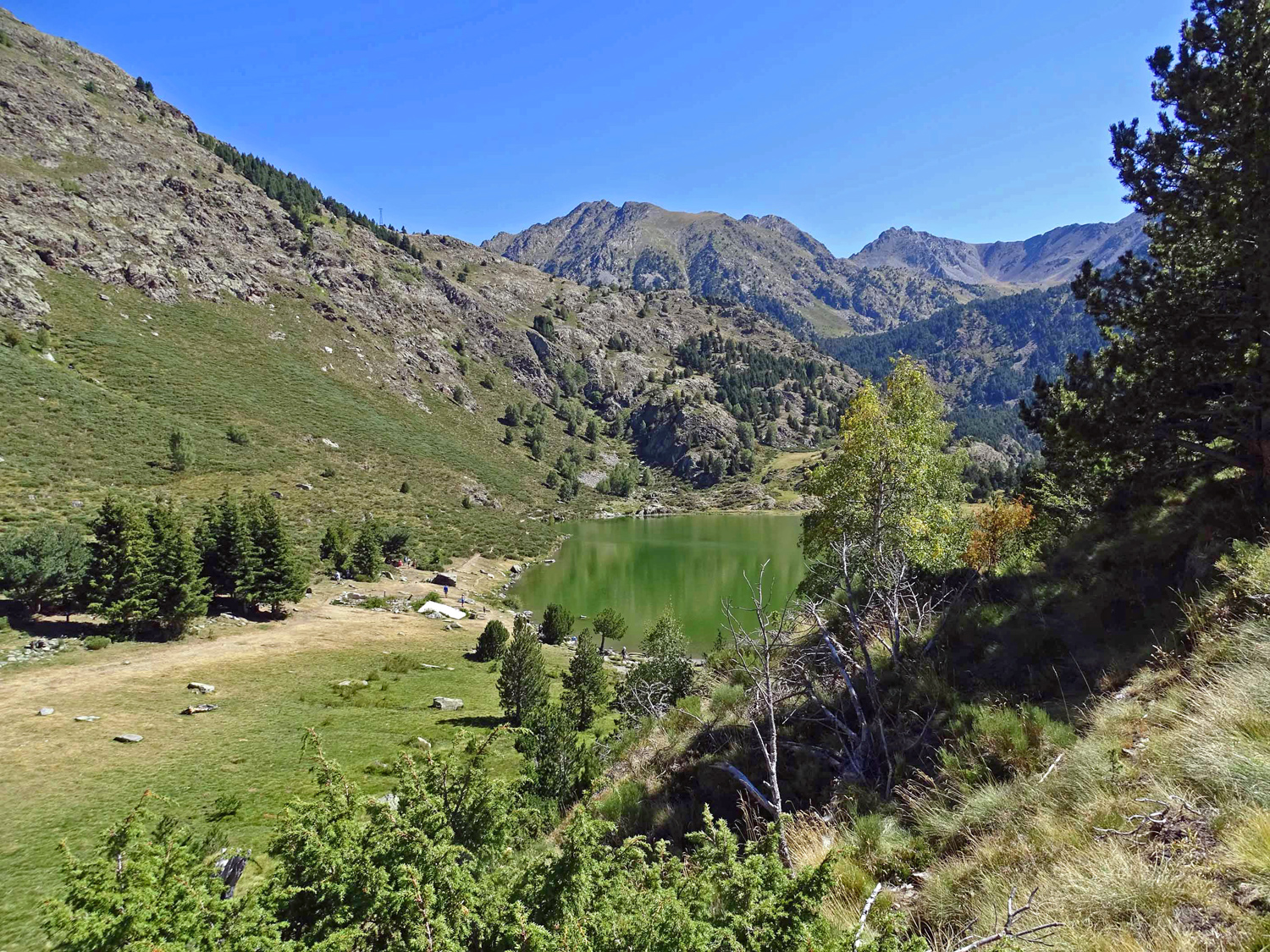
France > Occitanie > Pyrénées-Orientales > Catalan Pyrenees Regional Natural Park
Length
8km
Duration
3h30min
Elev gain
515m
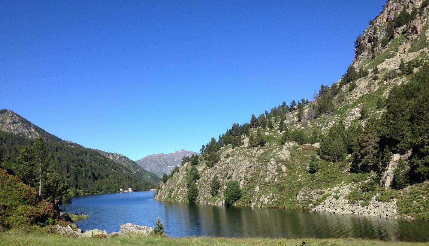
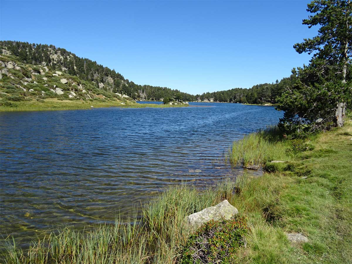
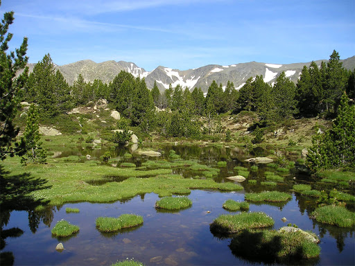
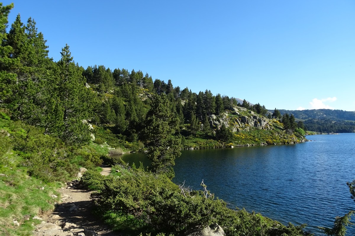
Departing from Lac du Passet, here is a hike along a stream and through a pretty forest before arriving at the Font Vive pond.

Already more than 200,000 users!
Uphill
515m
Highest point
2160m
Downhill
515m
Lowest point
1708m
Route type
Loop
Download the map on your smartphone to save battery and rest assured to always keep access to the route, even without signal.
Includes IGN France and Swisstopo.
1 rating
Infaisable le sentier n’est pas le bon
Also enjoy:

Already more than 200,000 users!