Uphill
349m
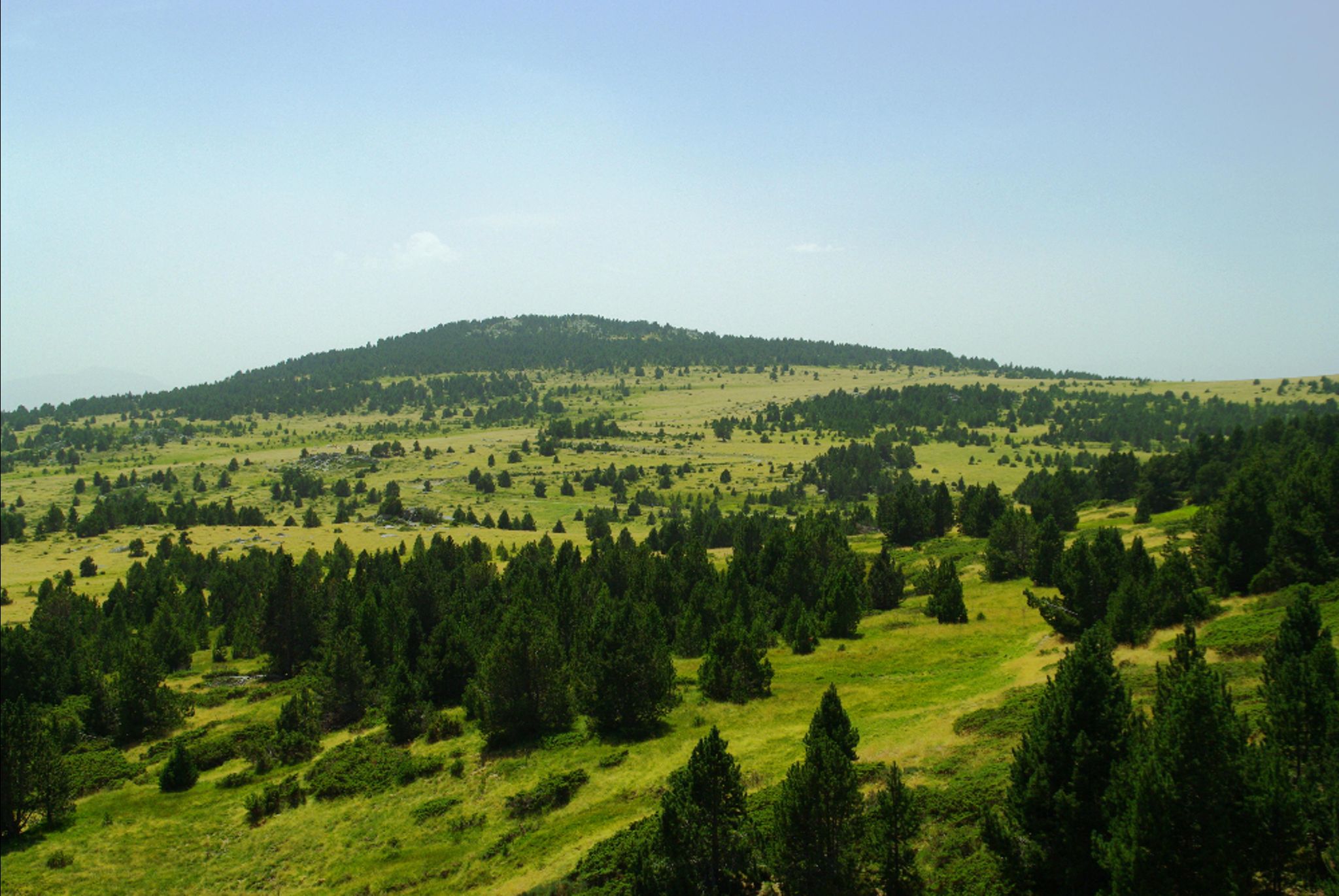
France > Occitanie > Pyrénées-Orientales > Catalan Pyrenees Regional Natural Park
Length
10km
Duration
3h30min
Elev gain
349m
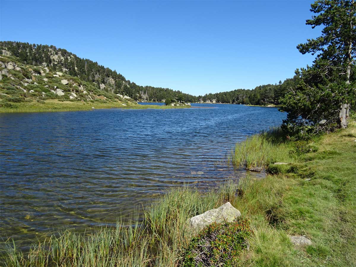
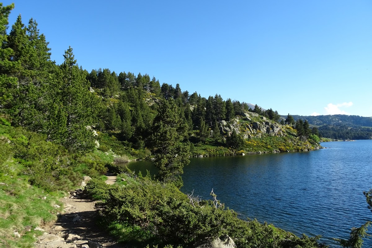
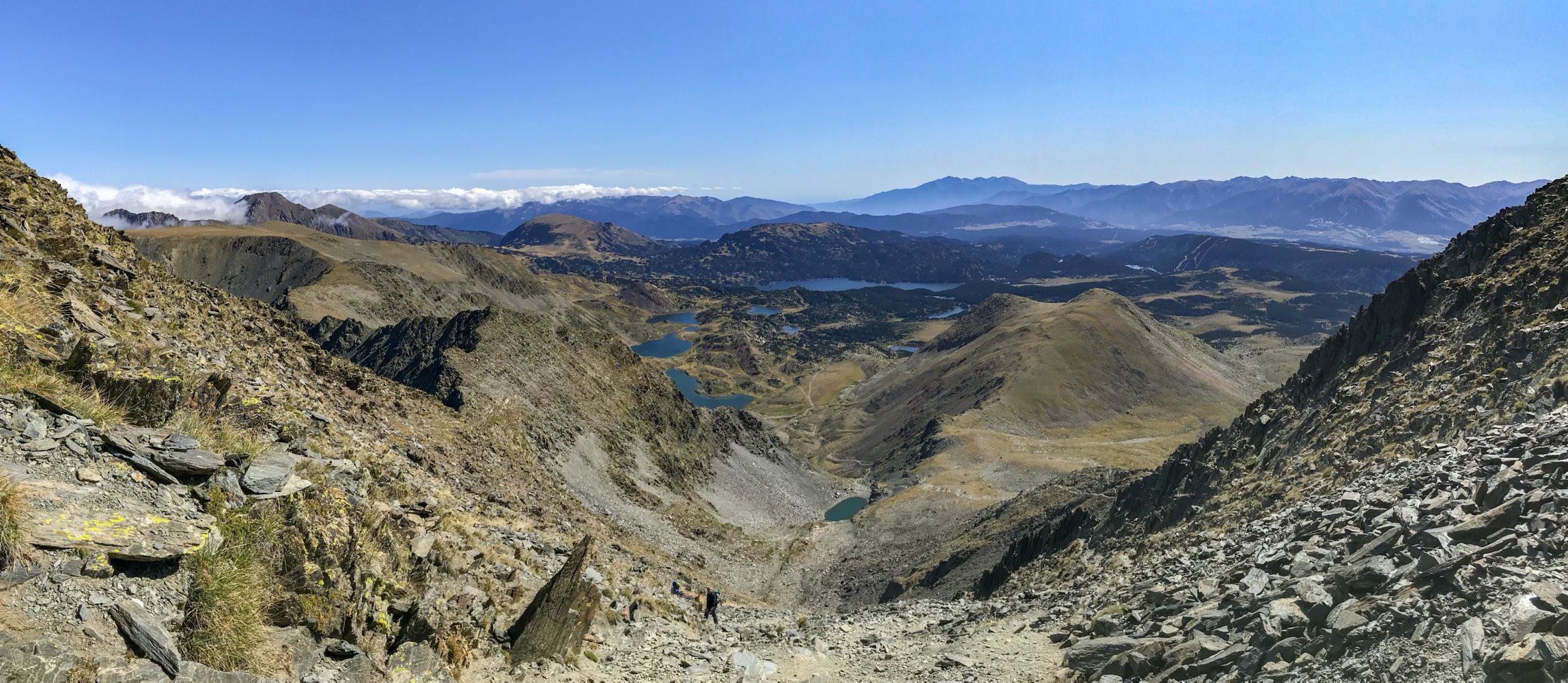
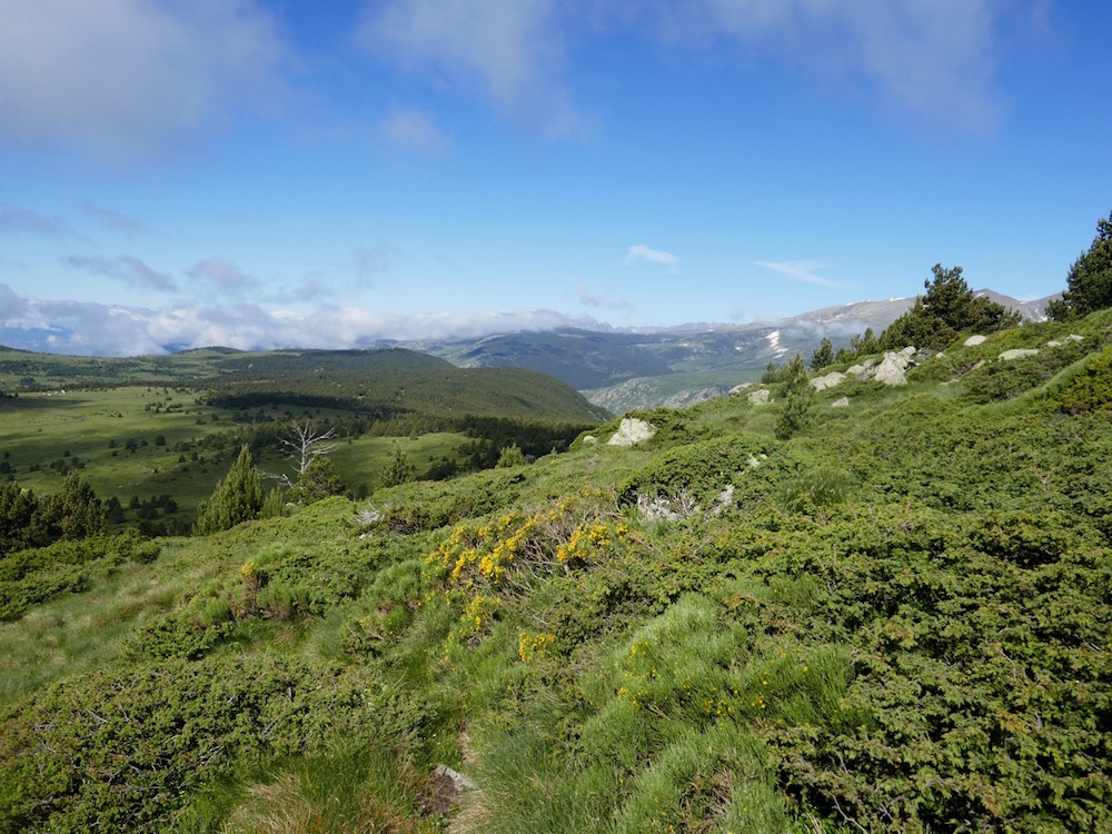
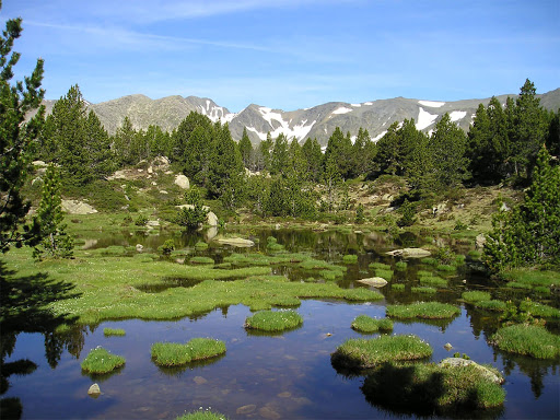
Departing from the Bouillouses lake, here is a loop walk at the foot of the Carlit peak. The path allows you to enjoy a dozen lakes in an exceptional setting, alternating between meadows, granite rocks and pine forests.

Already more than 200,000 users!
Uphill
349m
Highest point
2361m
Downhill
349m
Lowest point
2009m
Route type
Loop
Download the map on your smartphone to save battery and rest assured to always keep access to the route, even without signal.
Includes IGN France and Swisstopo.
Several car parks at the Lac des Bouillouses dam.
However, in summer it may be necessary to park lower and take a shuttle.
4 ratings
Also enjoy:

Already more than 200,000 users!