Uphill
112m
France > Occitanie > Pyrénées-Orientales > Catalan Pyrenees Regional Natural Park
Length
6km
Duration
2h
Elev gain
112m
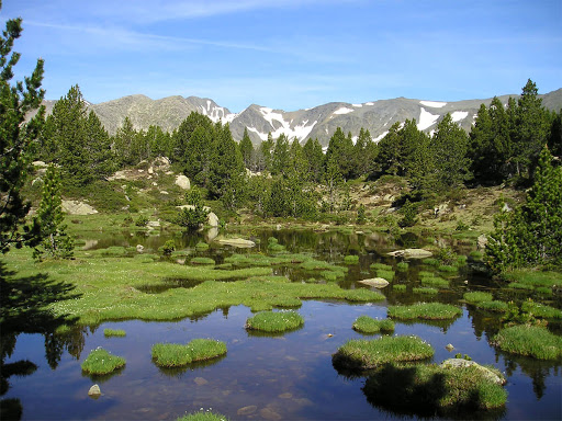
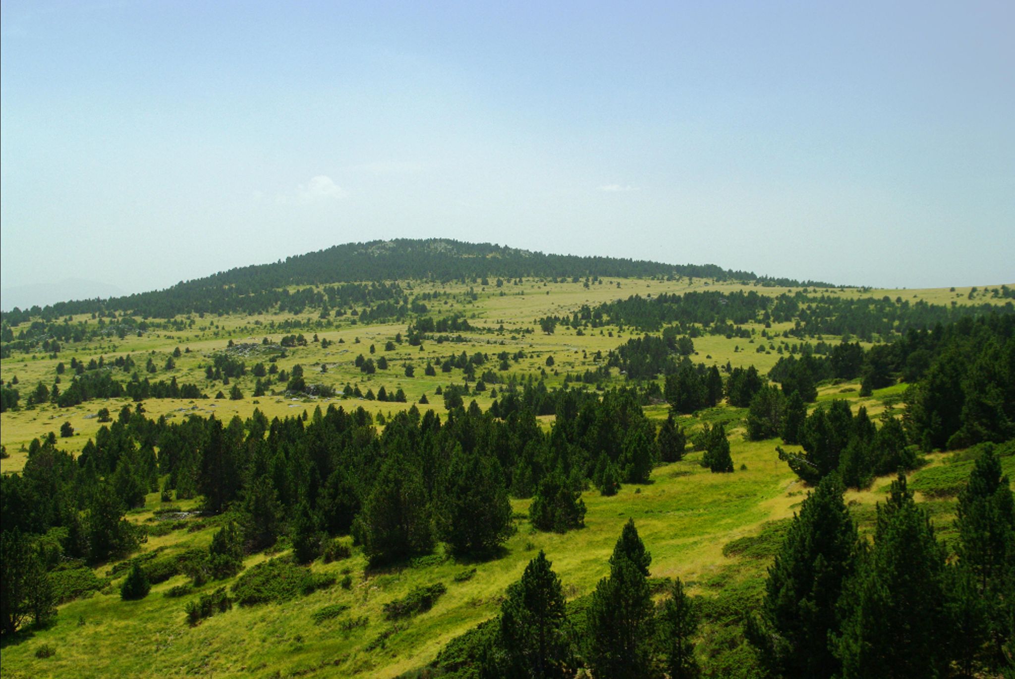
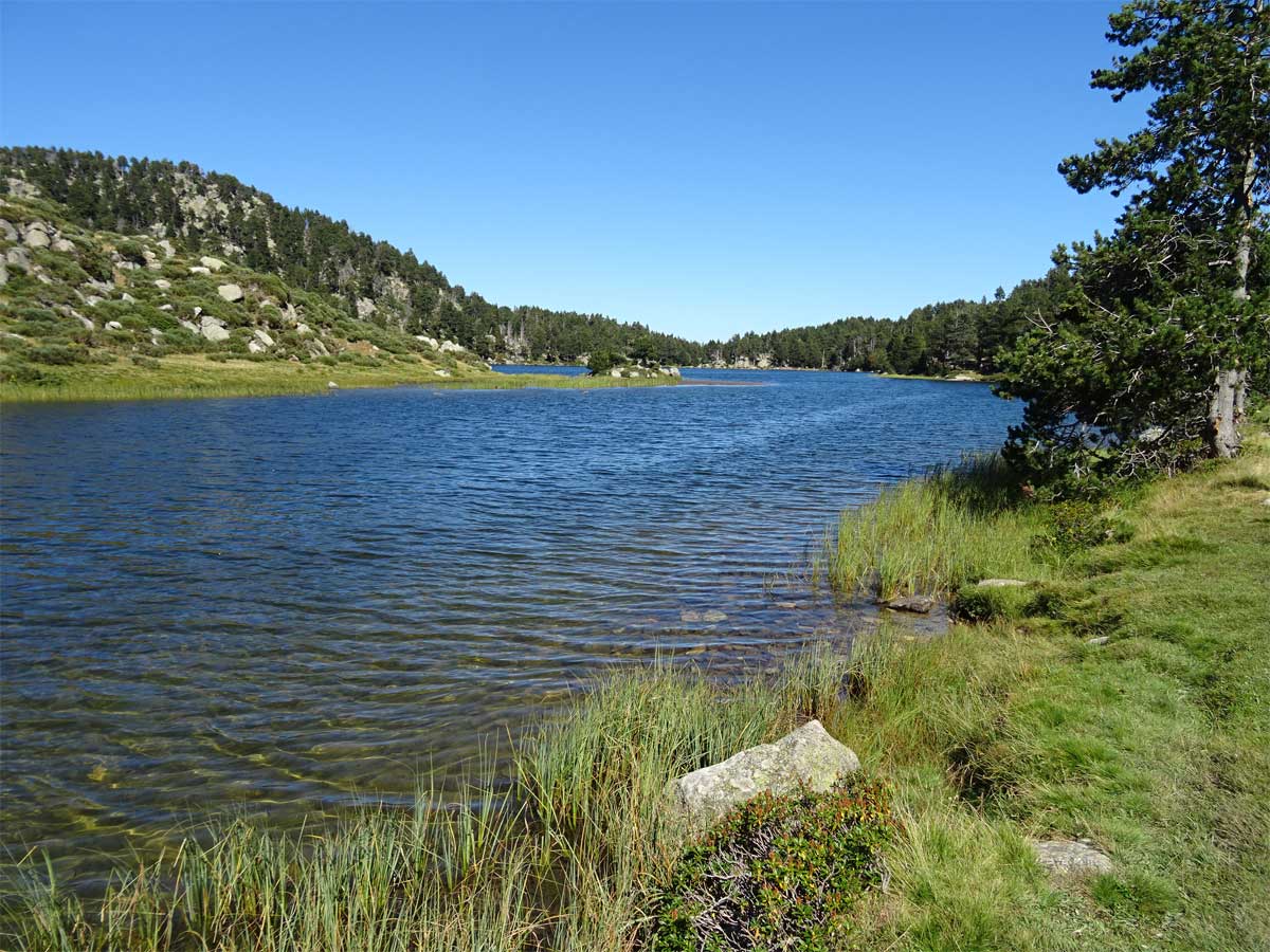
Here is an accessible walk, in the heart of preserved landscapes.
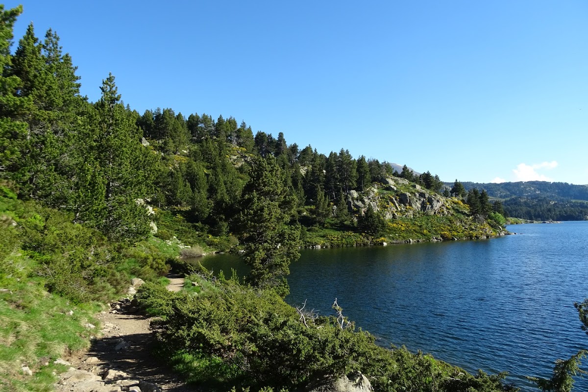
The trail begins at the Bouillouses lake, before going through the Récou pond, the Long pond and the Passadares pond. It then leads to the largest pond of this hike: the pond of Pradeilles.
Note that the way back is on a track.

Already more than 200,000 users!
Uphill
112m
Highest point
2030m
Downhill
112m
Lowest point
1940m
Route type
Loop
Download the map on your smartphone to save battery and rest assured to always keep access to the route, even without signal.
Includes IGN France and Swisstopo.
I indicate whether dogs are allowed or prohibited on this trail
From May to September
1 rating
Très joli. A noter des amas rocheux à franchir le long des lacs.
Also enjoy:

Already more than 200,000 users!