Uphill
677m
Length
14km
Duration
5h30min
Elev gain
677m
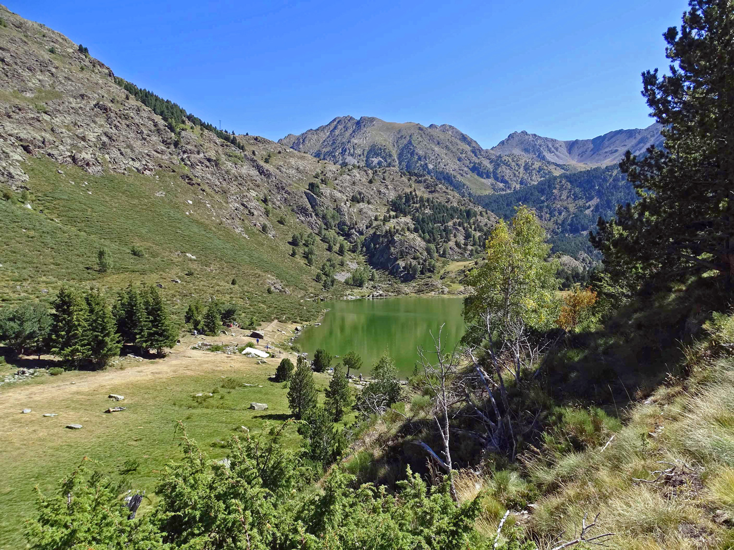
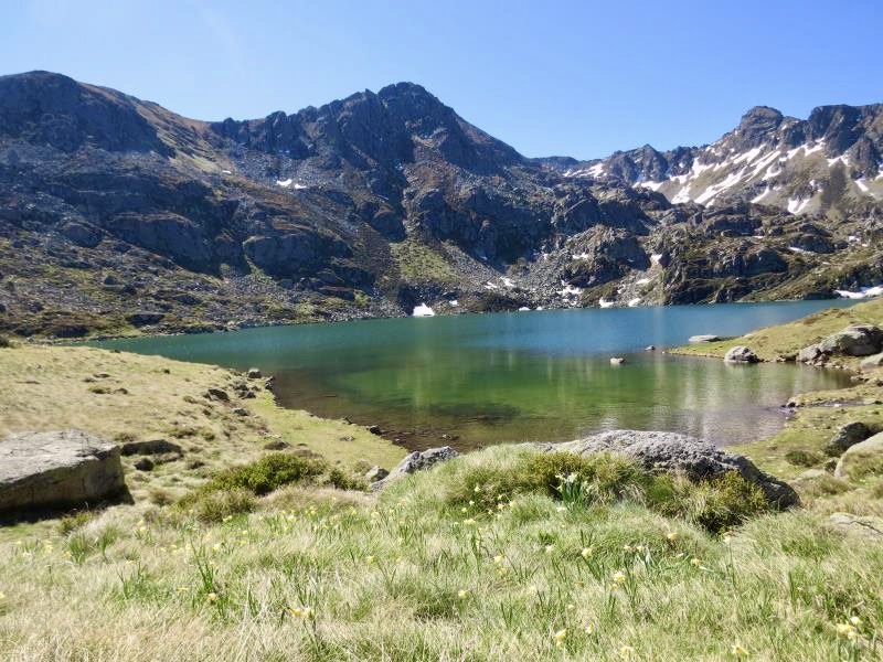
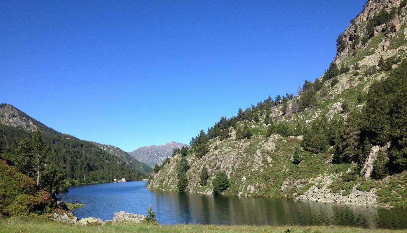
Beautiful hike from Hospitalet-près-l'Andorre. The path passes by the pretty pond of Bésines before arriving at the refuge bearing the same name at more than 2,000 meters. The environment is wild and the landscapes varied.

Already more than 200,000 users!
Uphill
677m
Highest point
2088m
Downhill
677m
Lowest point
1434m
Route type
There and back
Download the map on your smartphone to save battery and rest assured to always keep access to the route, even without signal.
Includes IGN France and Swisstopo.
I indicate whether dogs are allowed or prohibited on this trail
From May to September
0 ratings
Also enjoy:

Already more than 200,000 users!