Uphill
515m
Length
10km
Duration
4h
Elev gain
515m
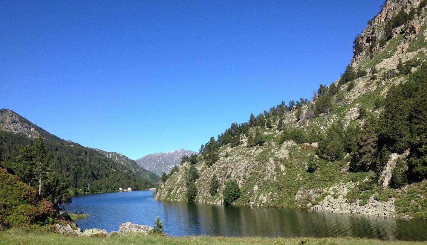
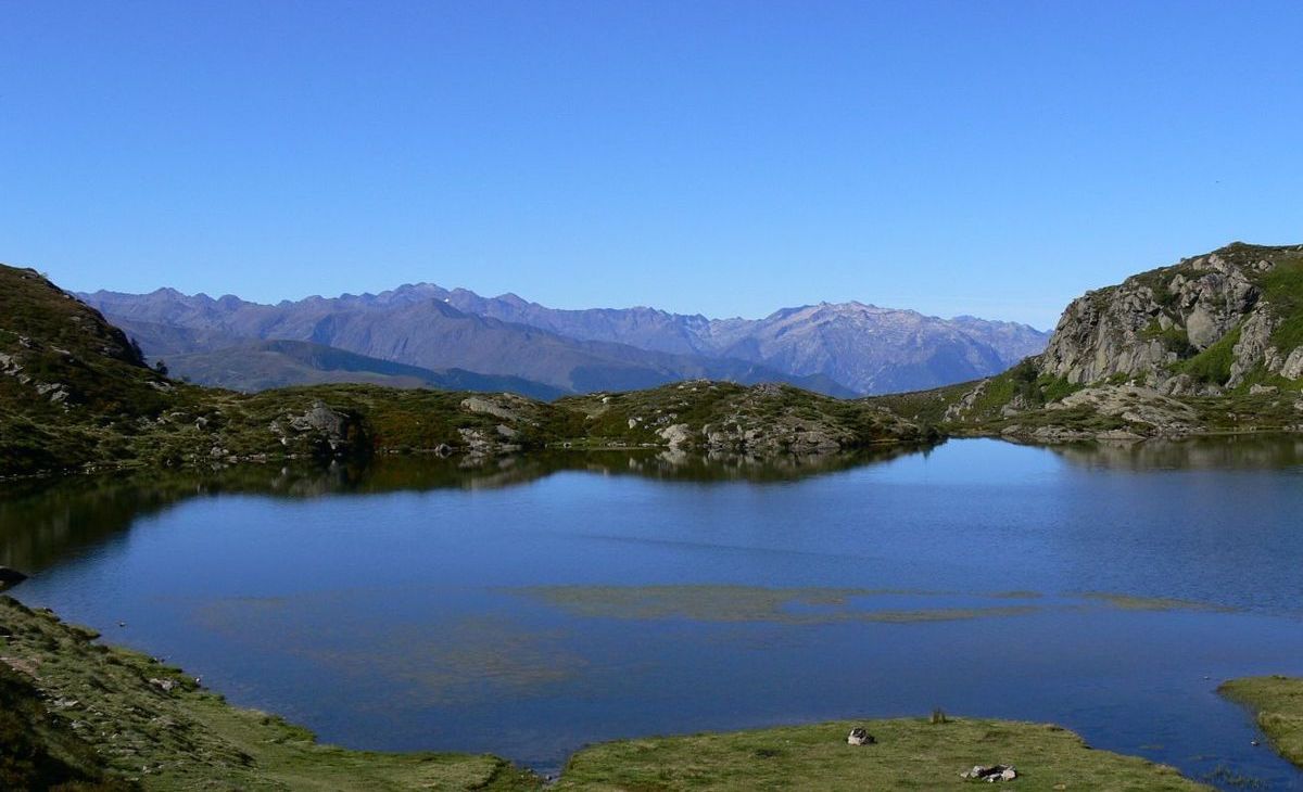
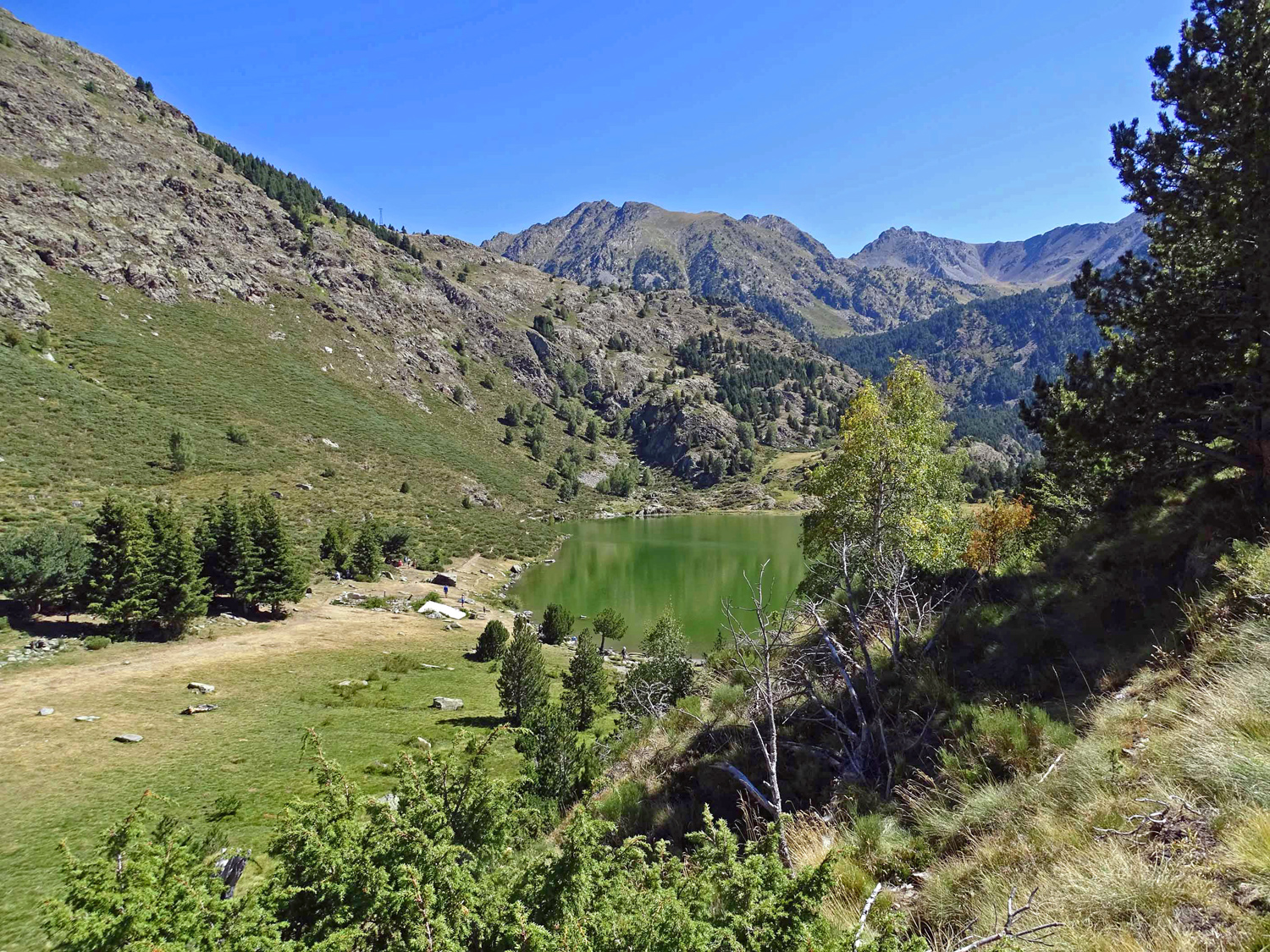
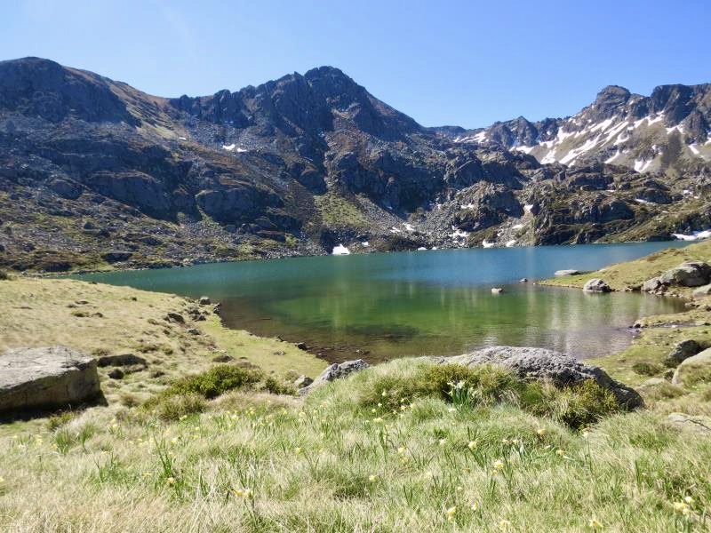
Loop hike passing through the pond of Estagnol, before joining those of Fontargente. A perfect place to rest for a few hours and enjoy an exceptional setting.

Already more than 200,000 users!
Uphill
515m
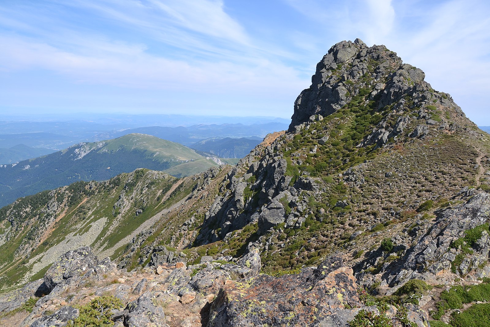
Highest point
2153m
Downhill
515m
Lowest point
1693m
Route type
Loop
Download the map on your smartphone to save battery and rest assured to always keep access to the route, even without signal.
Includes IGN France and Swisstopo.
Authorised on a leash
From May to September
1 rating
Also enjoy:

Already more than 200,000 users!