Uphill
1248m
Length
16km
Duration
8h30min
Elev gain
1248m
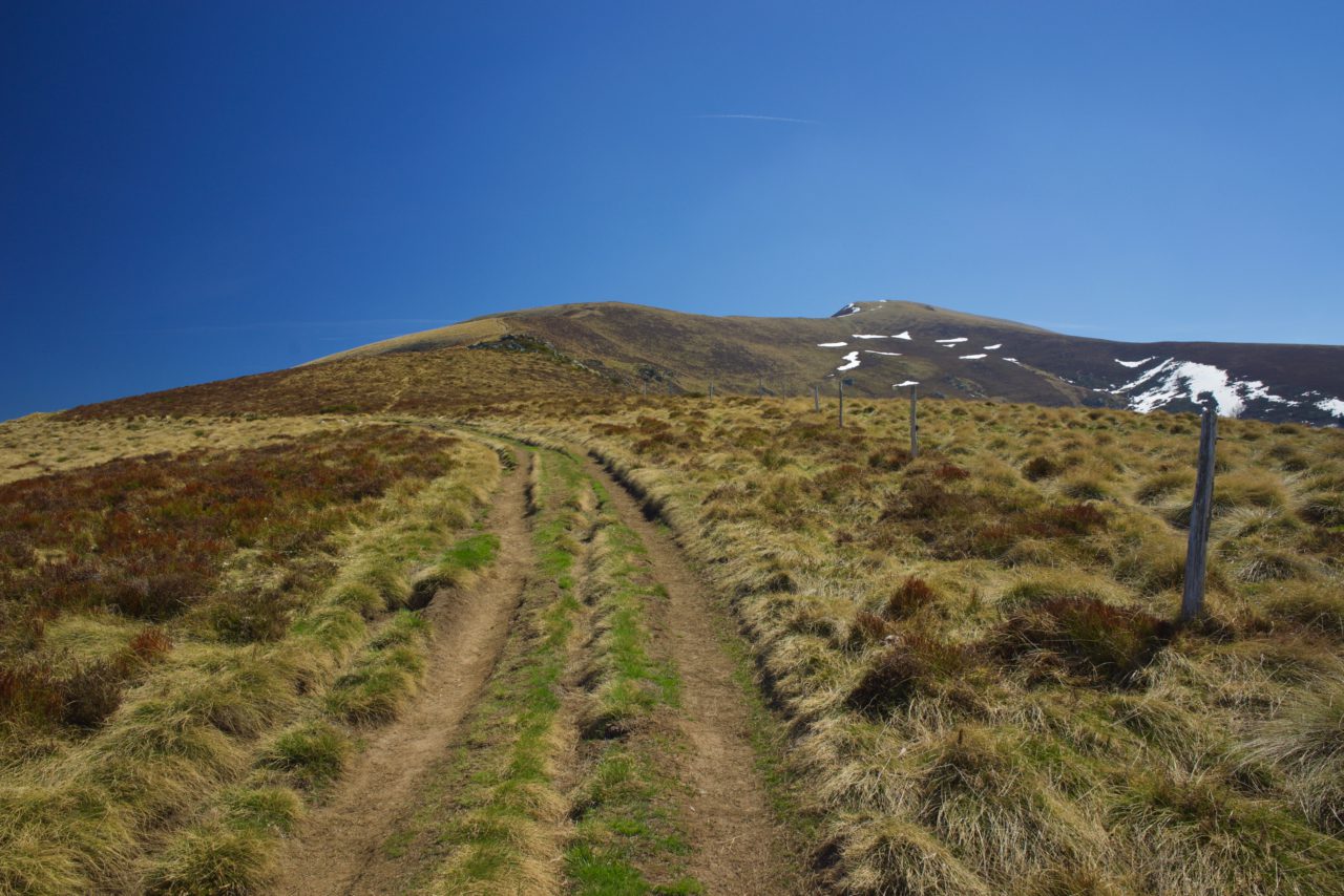
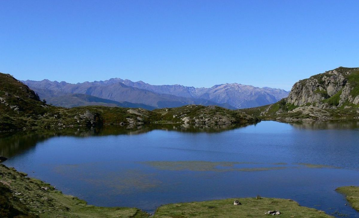
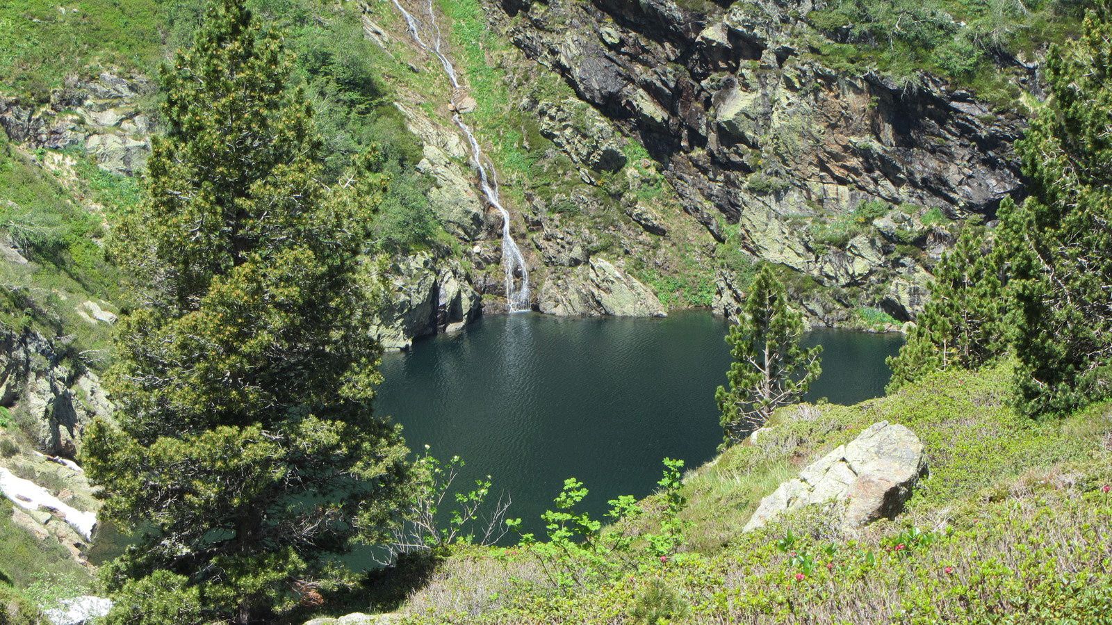
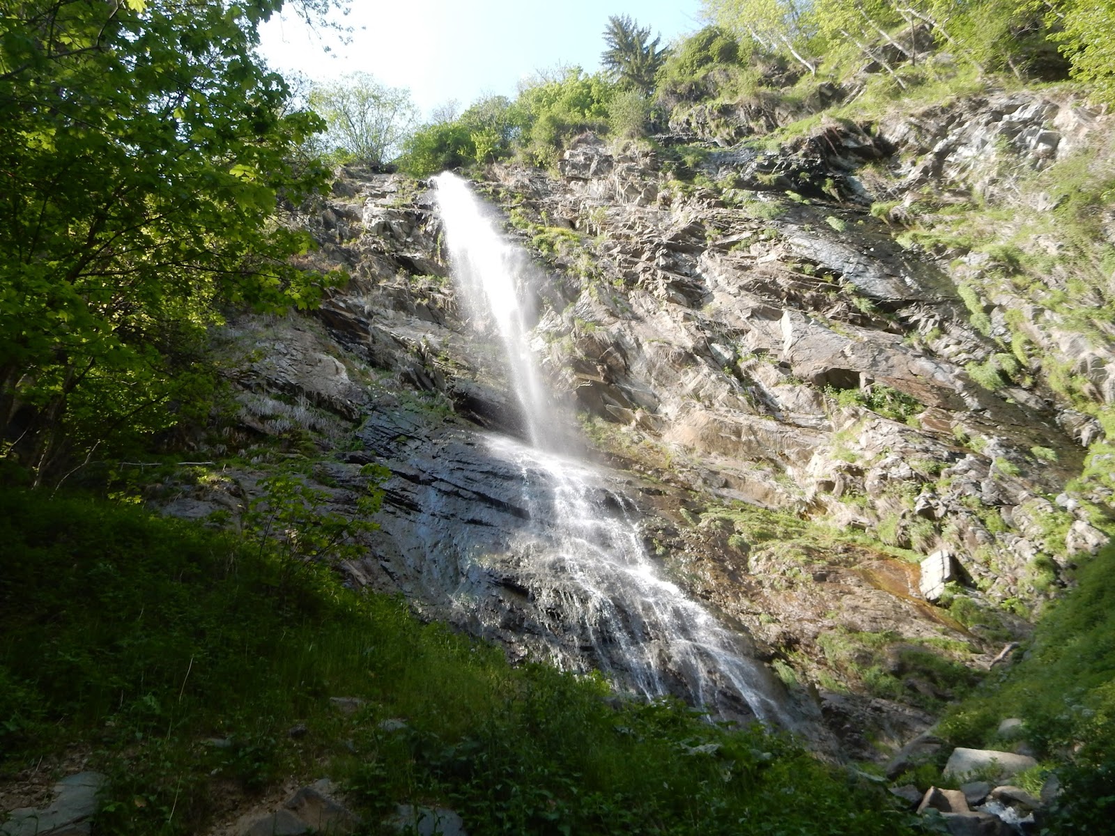
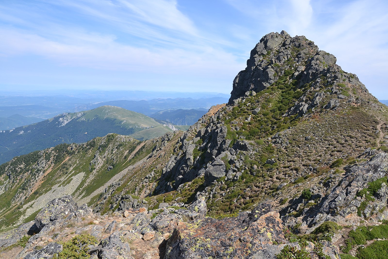
Departing from the Monts d'Olmes resort, this difficult hike leads to the Col de Girabal, then a crest going from the peak of Saint-Barthélemy to the peak of Soularac. Very nice view of the Pyrenees. The return is via the Diable and Truites ponds.

Already more than 200,000 users!
Uphill
1248m
Highest point
2331m
Downhill
1248m
Lowest point
1494m
Route type
Loop
Download the map on your smartphone to save battery and rest assured to always keep access to the route, even without signal.
Includes IGN France and Swisstopo.
I indicate whether dogs are allowed or prohibited on this trail
From May to September
2 ratings
Also enjoy:

Already more than 200,000 users!