Uphill
485m
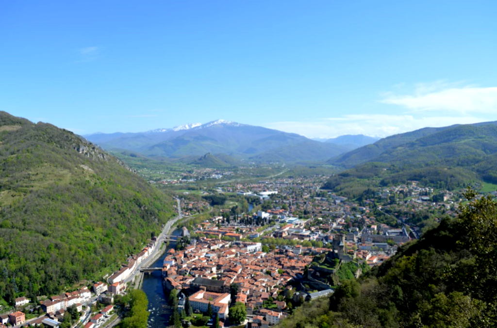
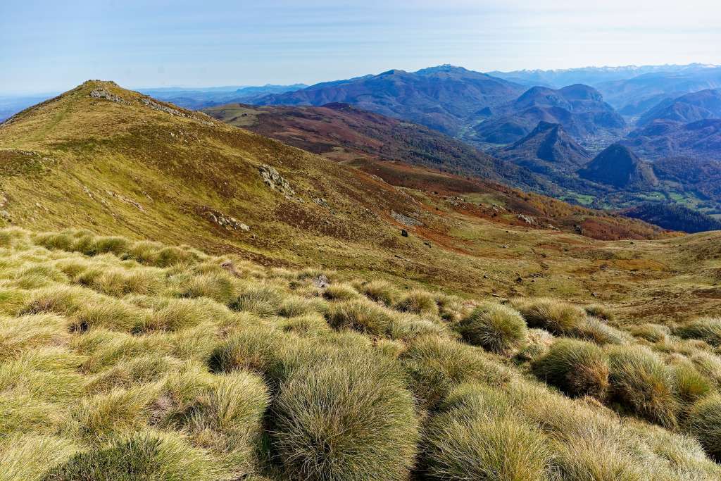
France > Occitanie > Ariège > Ariège Pyrenees Regional Natural Park
Length
7km
Duration
3h30min
Elev gain
485m
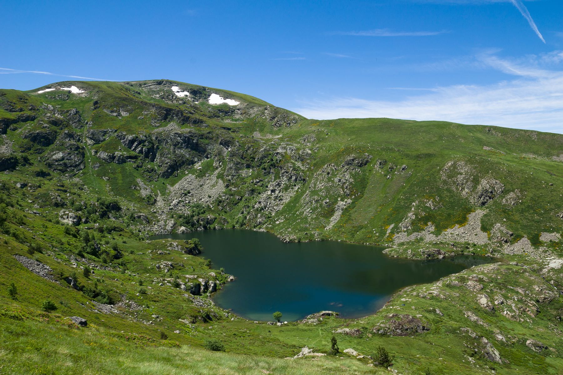
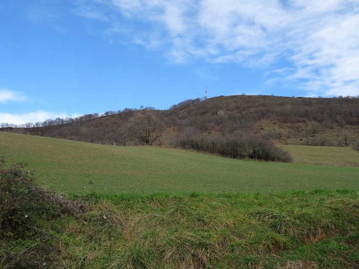
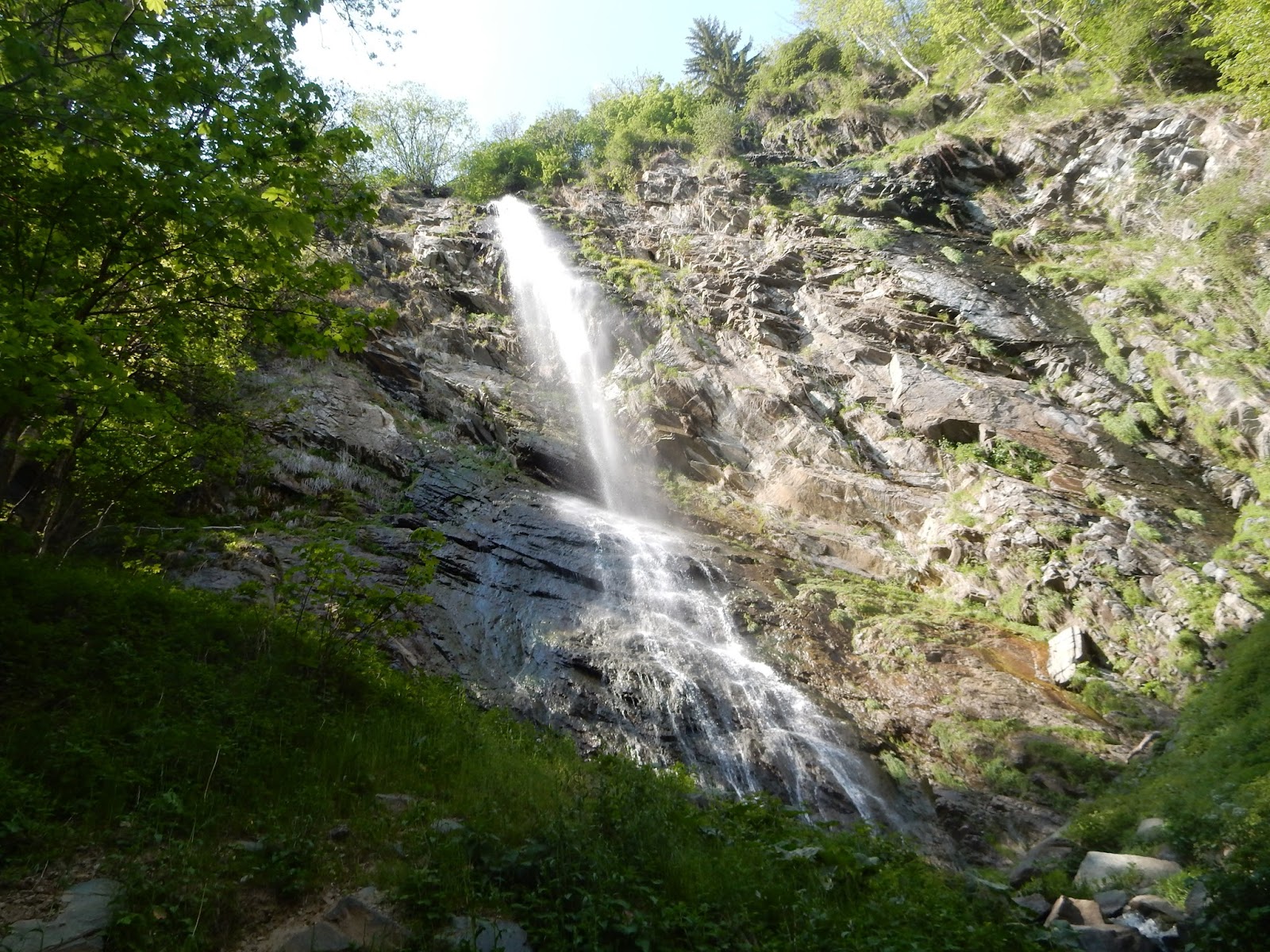
Walk above Prayols leading to three waterfalls, including that of the Piche.
Please note: information on site is poor.

Already more than 200,000 users!
Uphill
485m
Highest point
912m
Downhill
485m
Lowest point
455m
Route type
Loop
Download the map on your smartphone to save battery and rest assured to always keep access to the route, even without signal.
Includes IGN France and Swisstopo.
I indicate whether dogs are allowed or prohibited on this trail
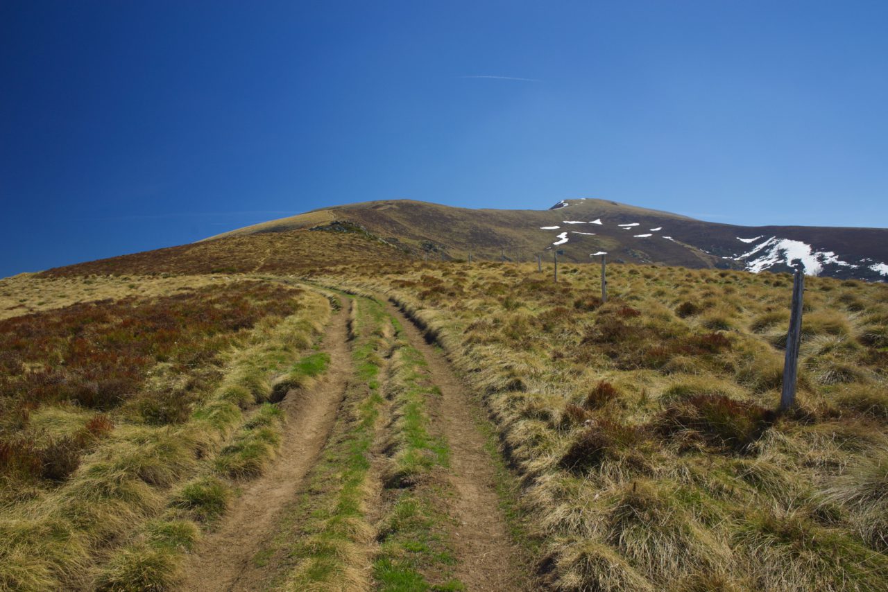
Can be difficult in Winter
4 ratings
Also enjoy:

Already more than 200,000 users!