Uphill
314m
France > Occitanie > Ariège > Ariège Pyrenees Regional Natural Park
Length
10km
Duration
3h30min
Elev gain
314m
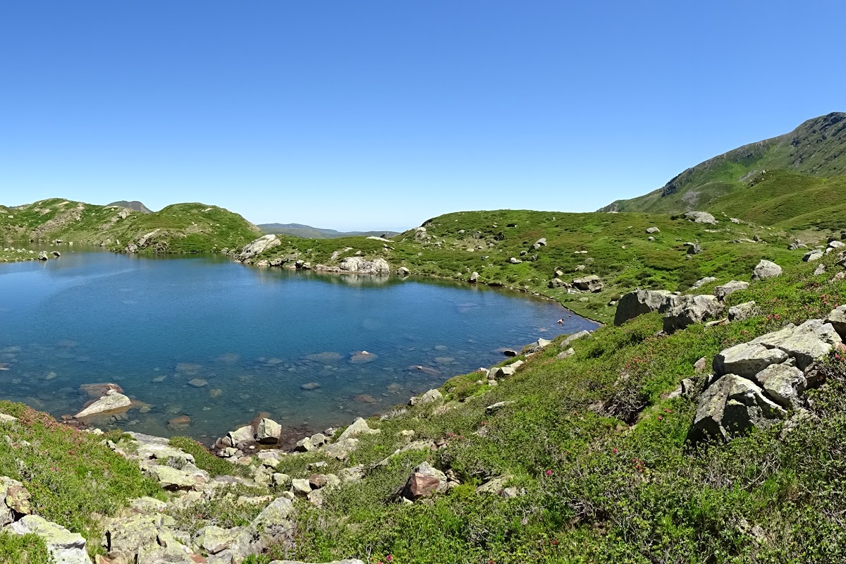
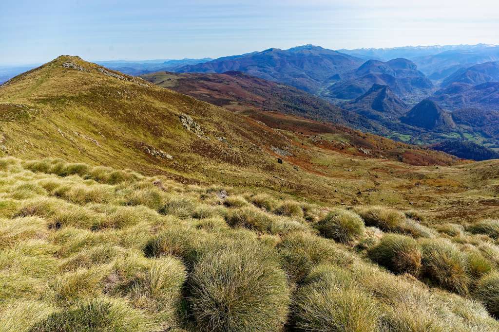
Round trip on a crest leading to the rock of Batail (1,715 m), offering a nice panorama of the surroundings.

Already more than 200,000 users!
Uphill
314m
Highest point
1702m
Downhill
314m
Lowest point
1420m
Route type
There and back
Download the map on your smartphone to save battery and rest assured to always keep access to the route, even without signal.
Includes IGN France and Swisstopo.
I indicate whether dogs are allowed or prohibited on this trail
From May to October
0 ratings
Also enjoy:

Already more than 200,000 users!