Uphill
1047m
France > Occitanie > Ariège > Ariège Pyrenees Regional Natural Park
Length
11km
Duration
7h
Elev gain
1047m
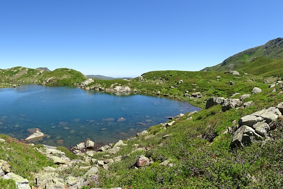
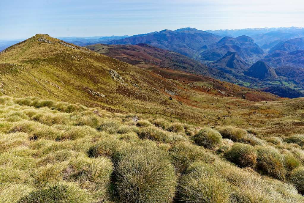
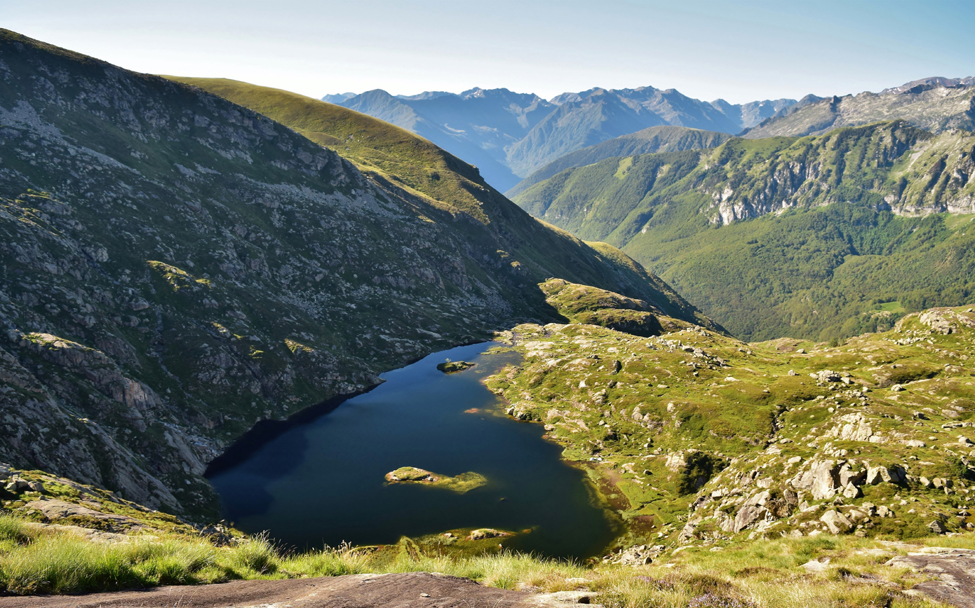
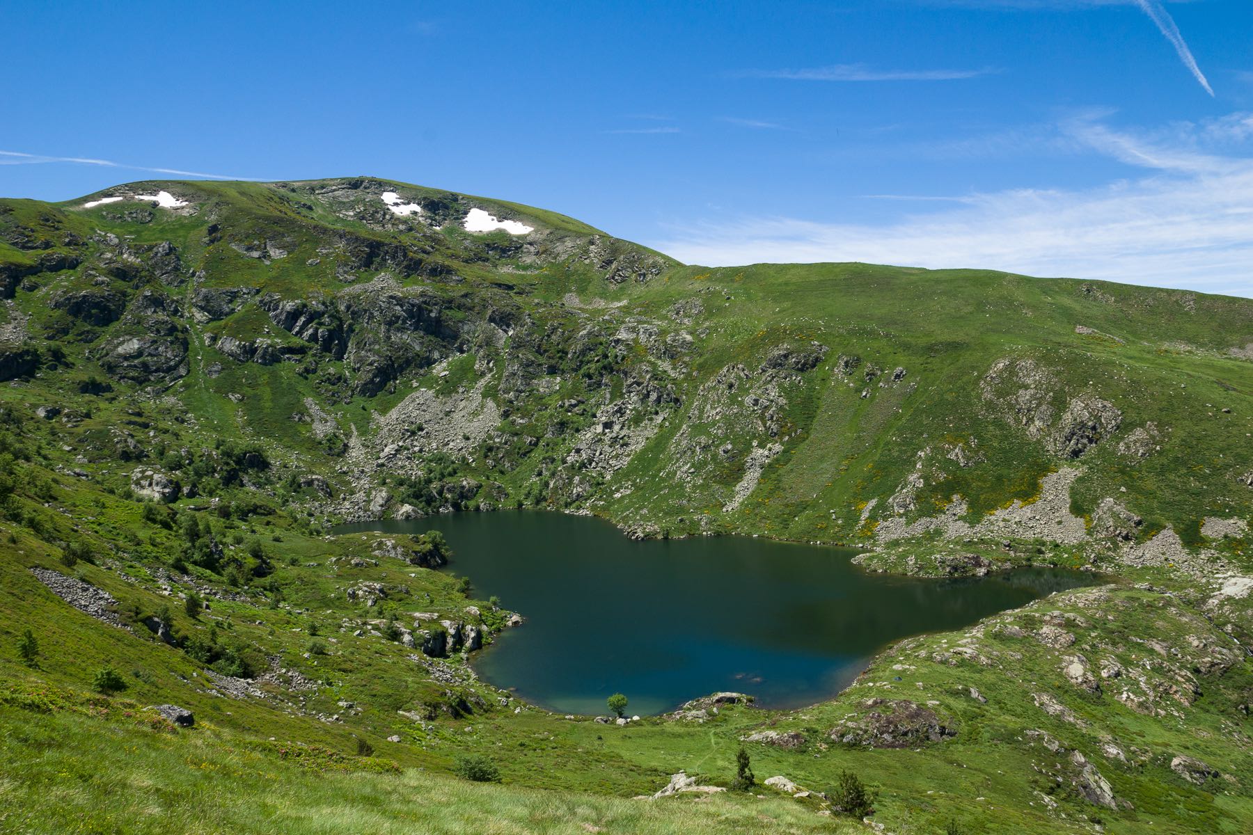
Departing from Gourbit, this hike begins with a steep slope in the forest, to reach the pretty pond of Artax. The return is via the crests, allowing you to enjoy a magnificent panorama of the Ariège region.

Already more than 200,000 users!
Uphill
1047m
Highest point
1951m
Downhill
1047m
Lowest point
913m
Route type
Loop
Download the map on your smartphone to save battery and rest assured to always keep access to the route, even without signal.
Includes IGN France and Swisstopo.
I indicate whether dogs are allowed or prohibited on this trail
From May to October
0 ratings
Also enjoy:

Already more than 200,000 users!