Uphill
1068m
Length
15km
Duration
7h30min
Elev gain
1068m
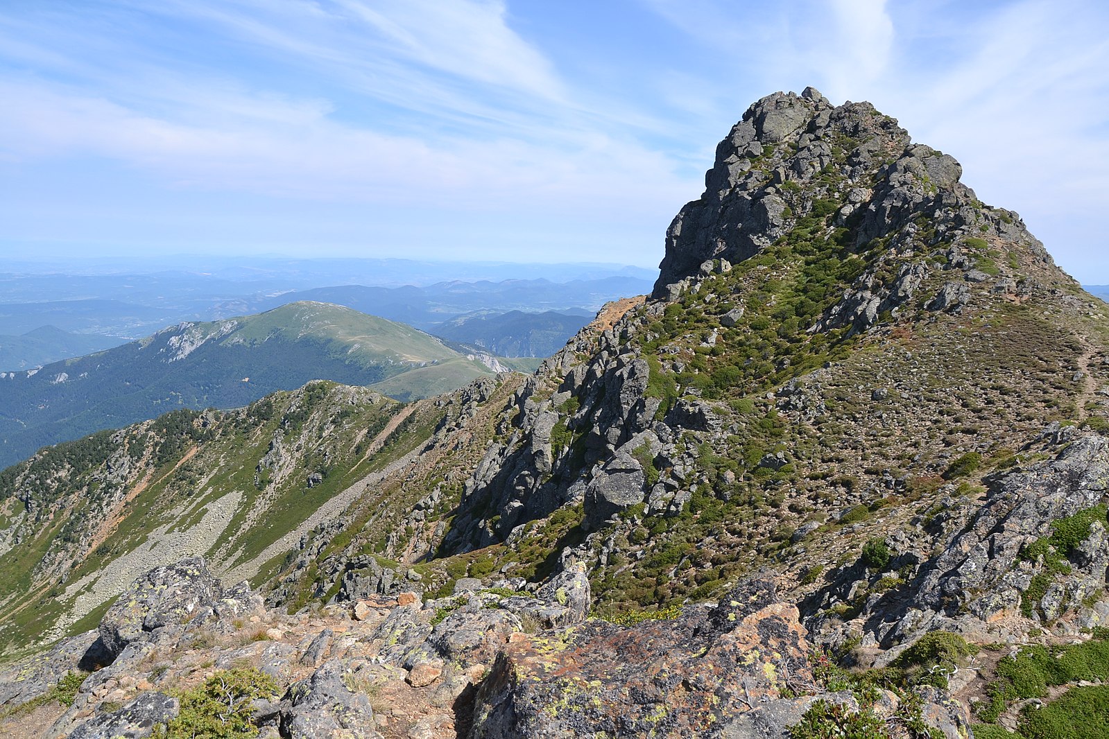
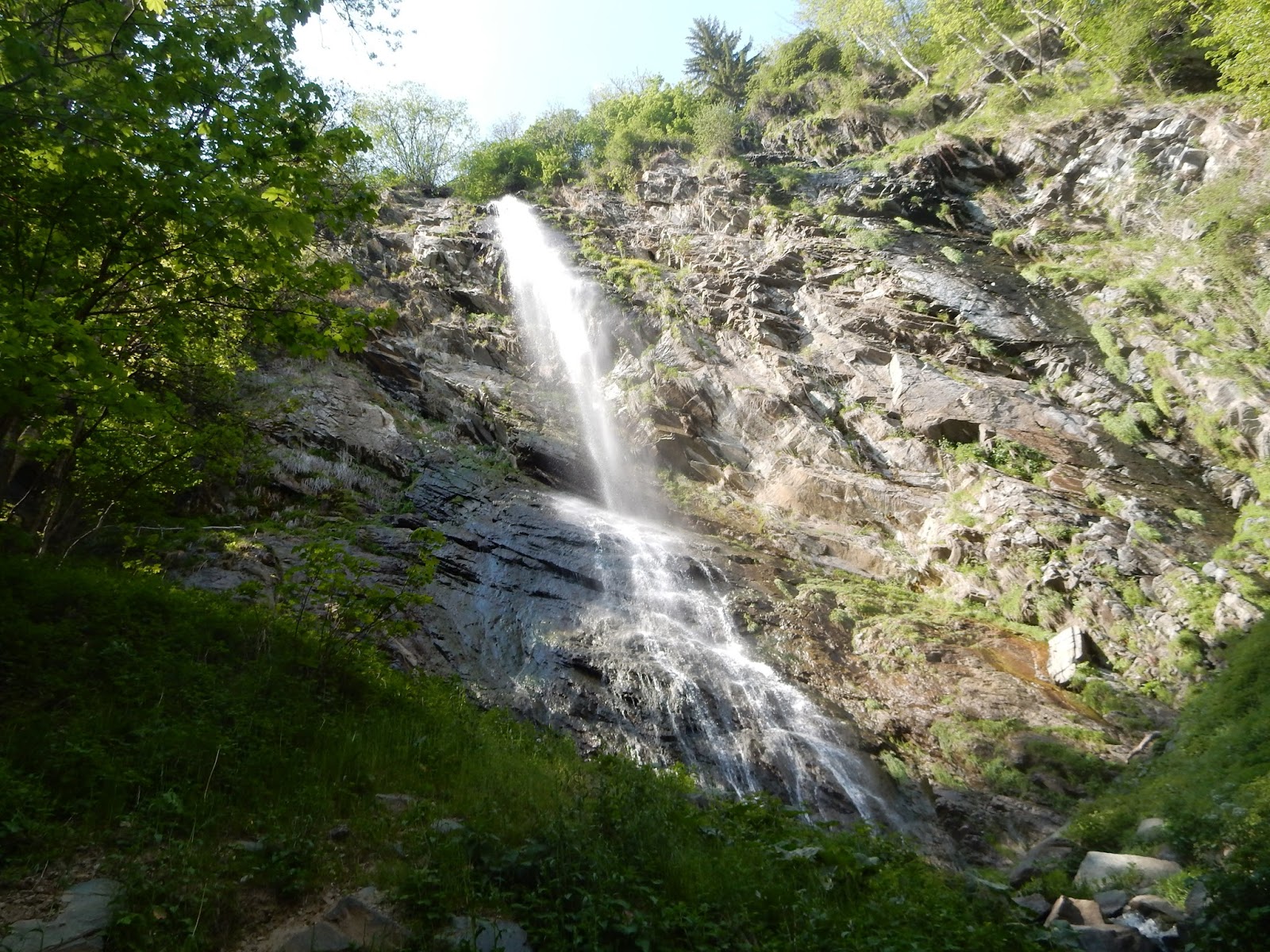
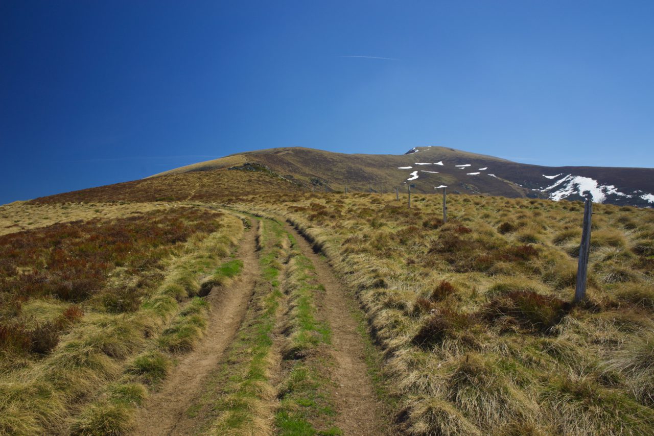
This is a difficult hike back and forth to Mont Fourcat (2002m). Two thirds of the climb takes place in the forest, before the view emerges over the Pays d'Olmes.

Already more than 200,000 users!
Uphill
1068m
Highest point
1996m
Downhill
1068m
Lowest point
955m
Route type
There and back
Download the map on your smartphone to save battery and rest assured to always keep access to the route, even without signal.
Includes IGN France and Swisstopo.
I indicate whether dogs are allowed or prohibited on this trail
From May to October
0 ratings
Also enjoy:

Already more than 200,000 users!