Uphill
764m
Length
8km
Duration
5h
Elev gain
764m
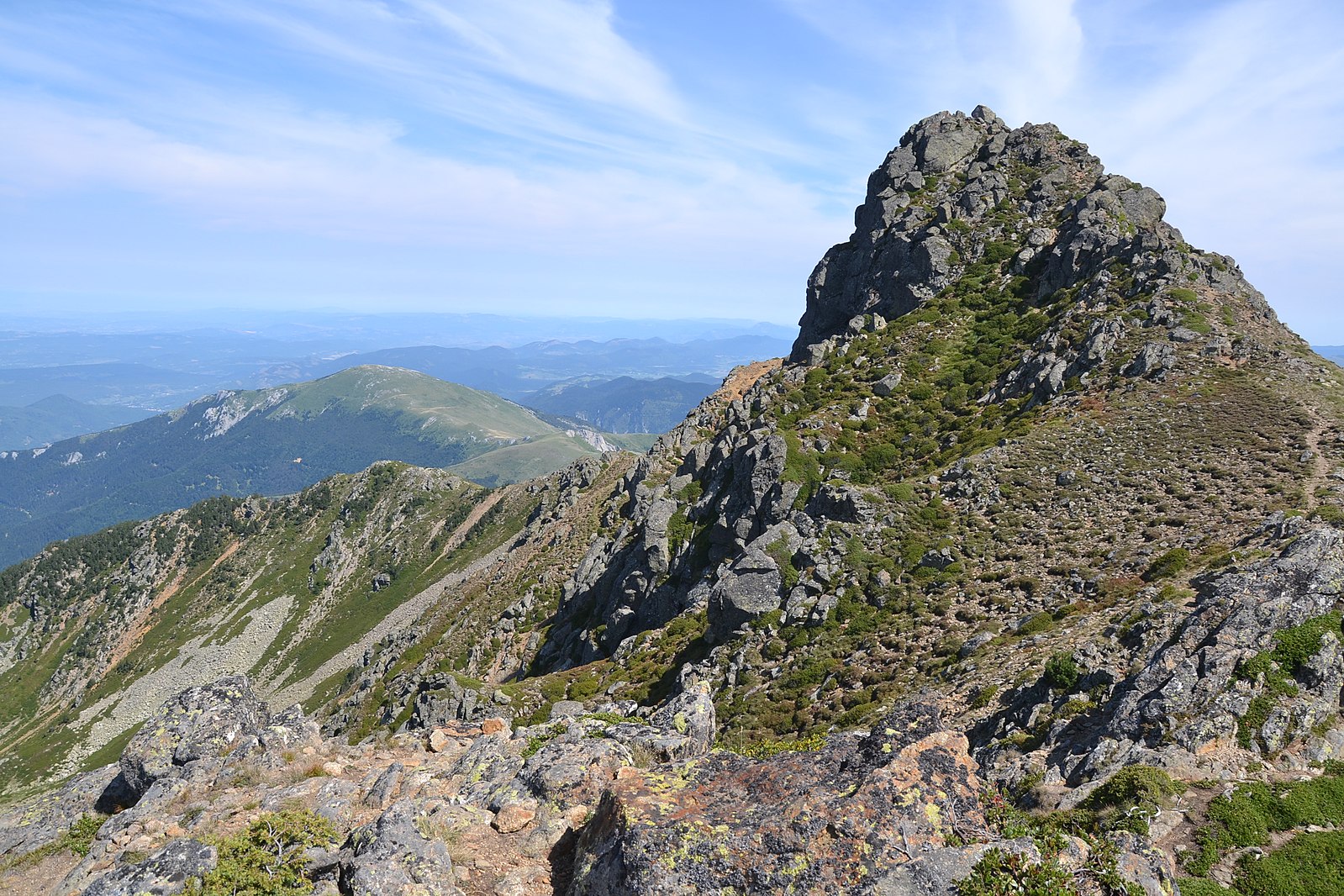
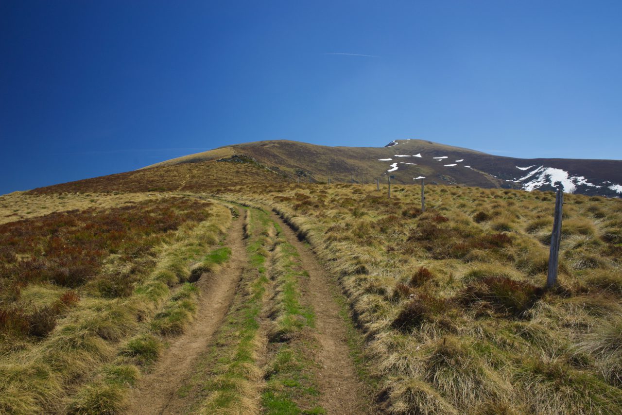
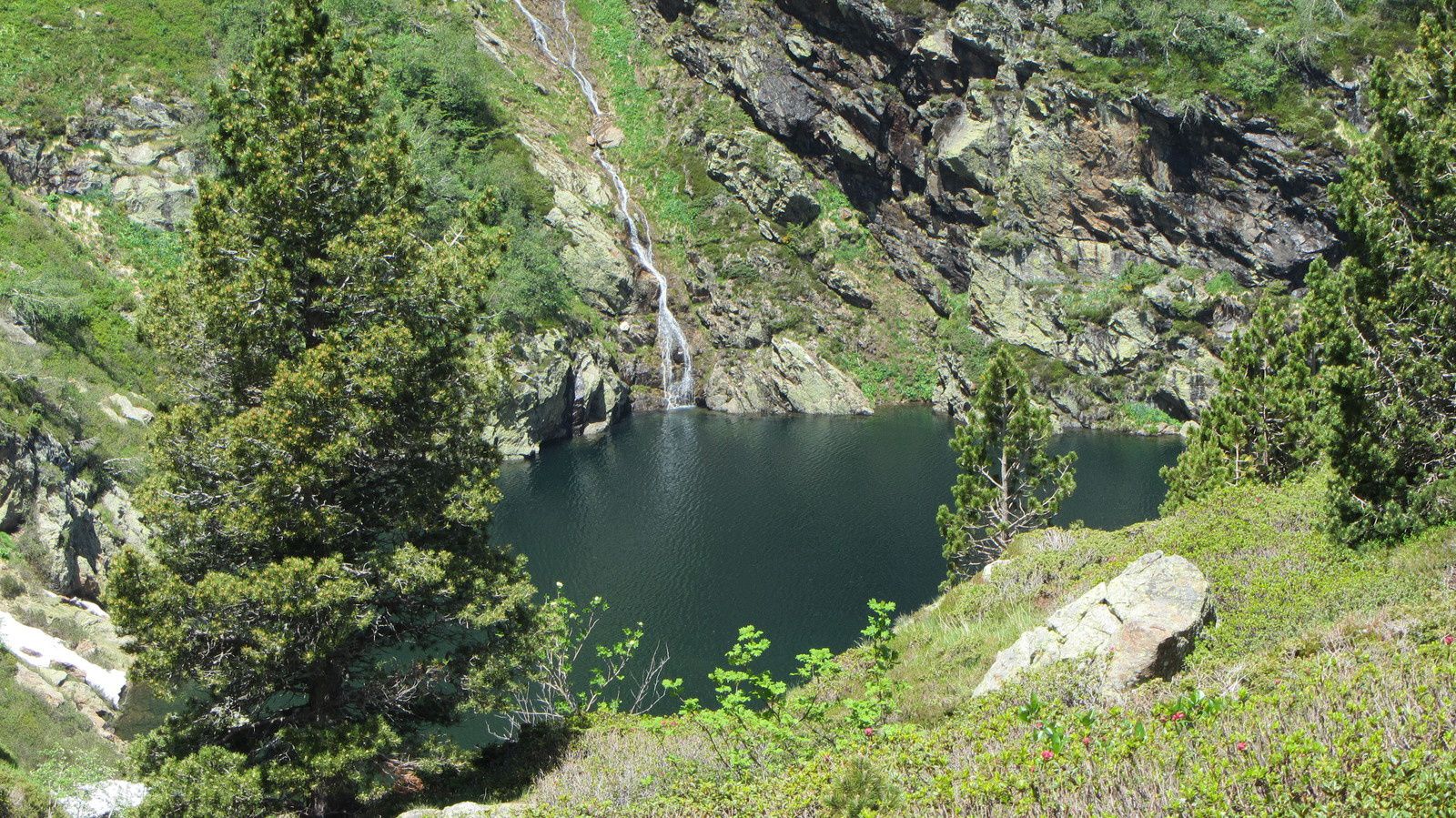
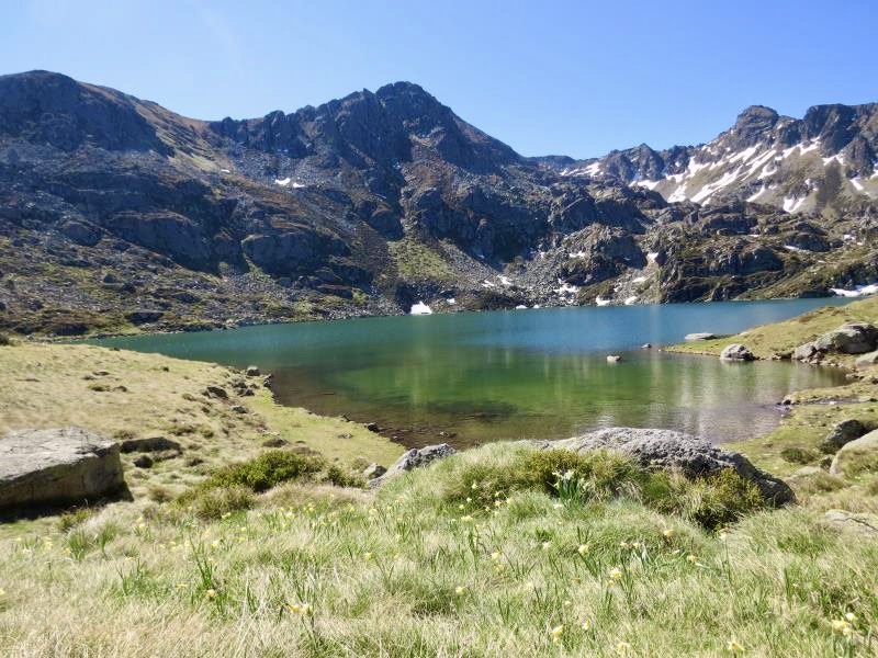
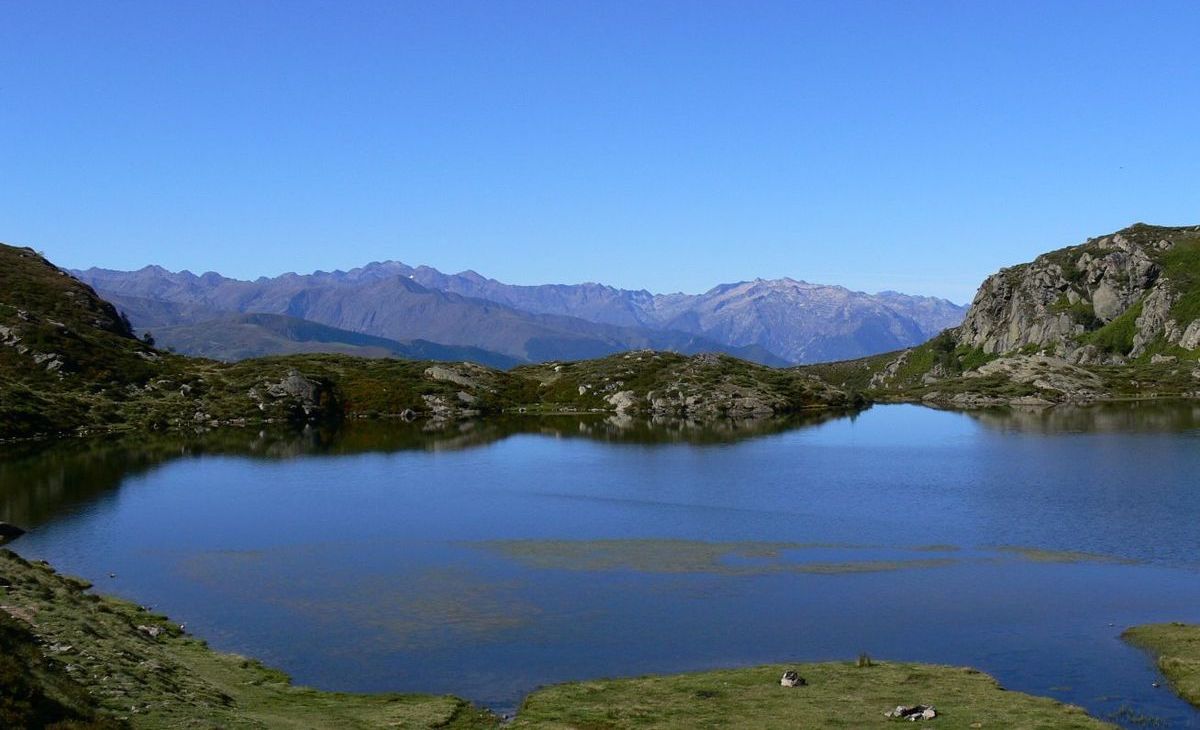
Round trip to the pond of Appy, with a nice view on arrival. Note that the climb, quite steep, is not shaded.

Already more than 200,000 users!
Uphill
764m
Highest point
1744m
Downhill
764m
Lowest point
984m
Route type
There and back
Download the map on your smartphone to save battery and rest assured to always keep access to the route, even without signal.
Includes IGN France and Swisstopo.
I indicate whether dogs are allowed or prohibited on this trail
From May to October
2 ratings
Also enjoy:

Already more than 200,000 users!