Uphill
357m
Length
6km
Duration
2h30min
Elev gain
357m
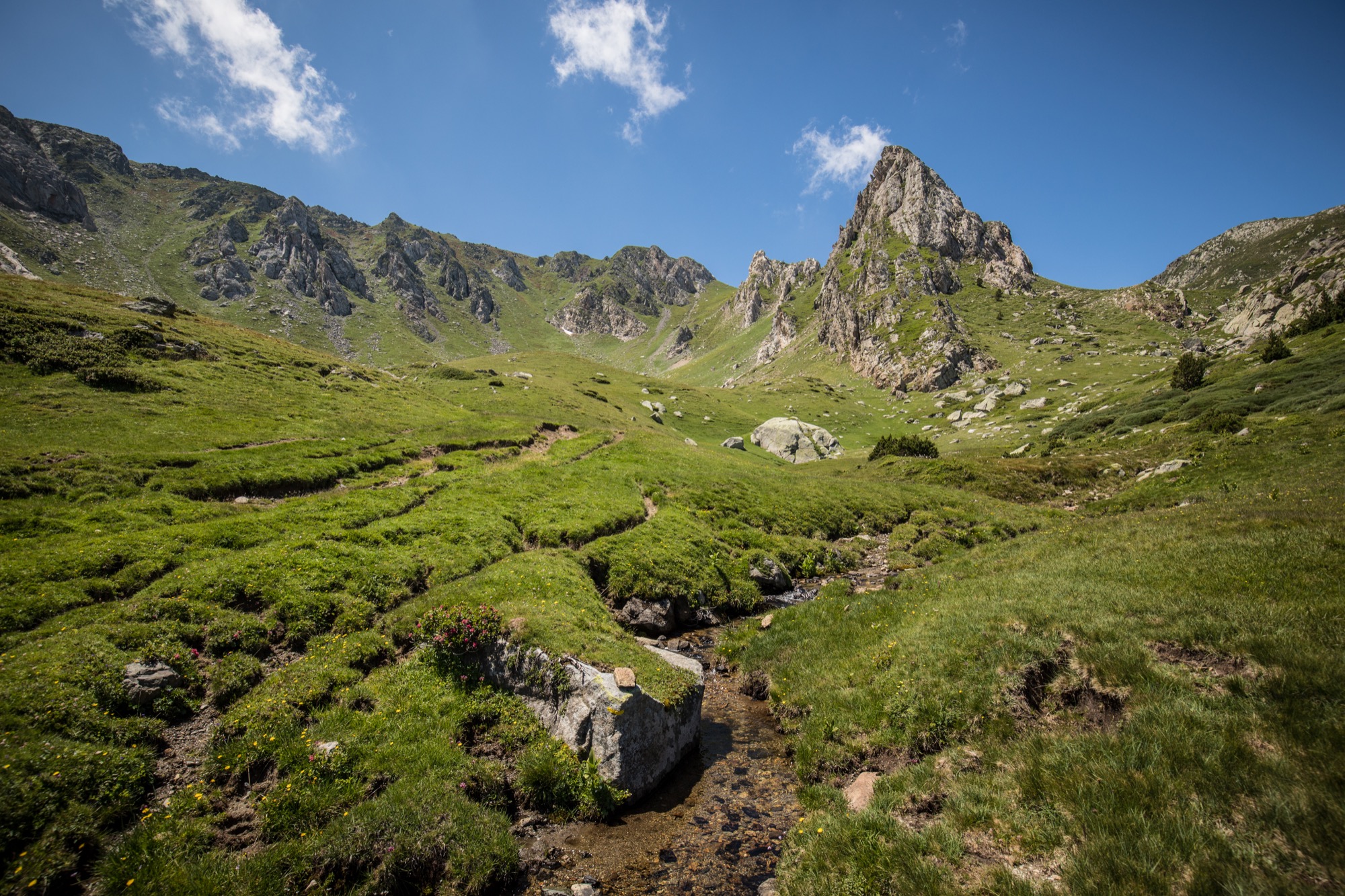
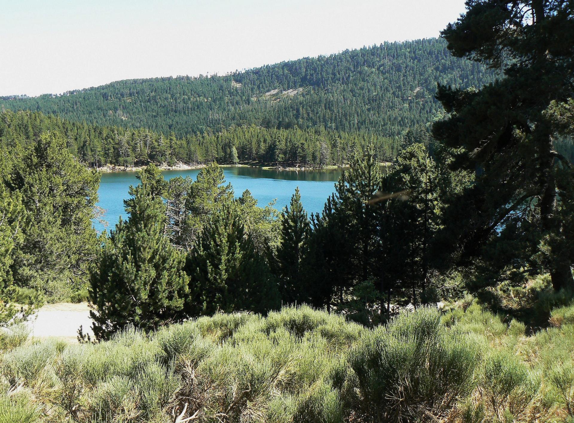
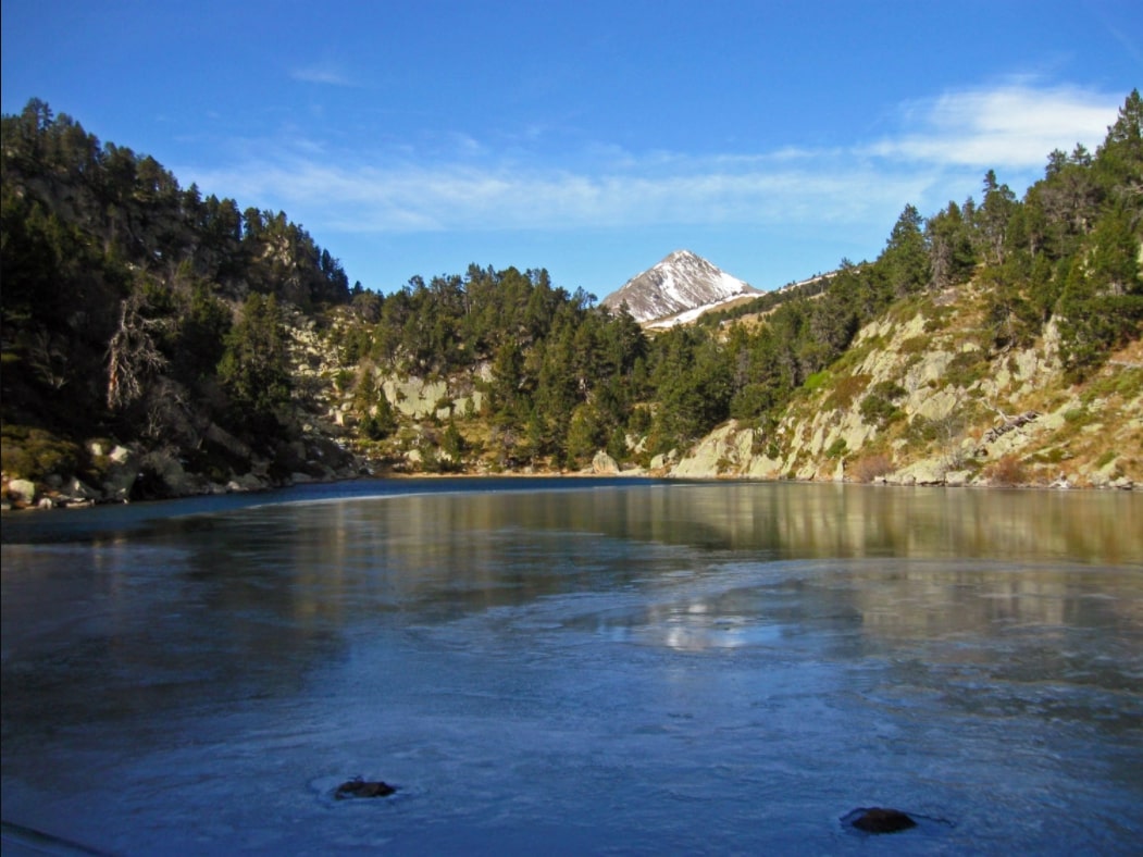
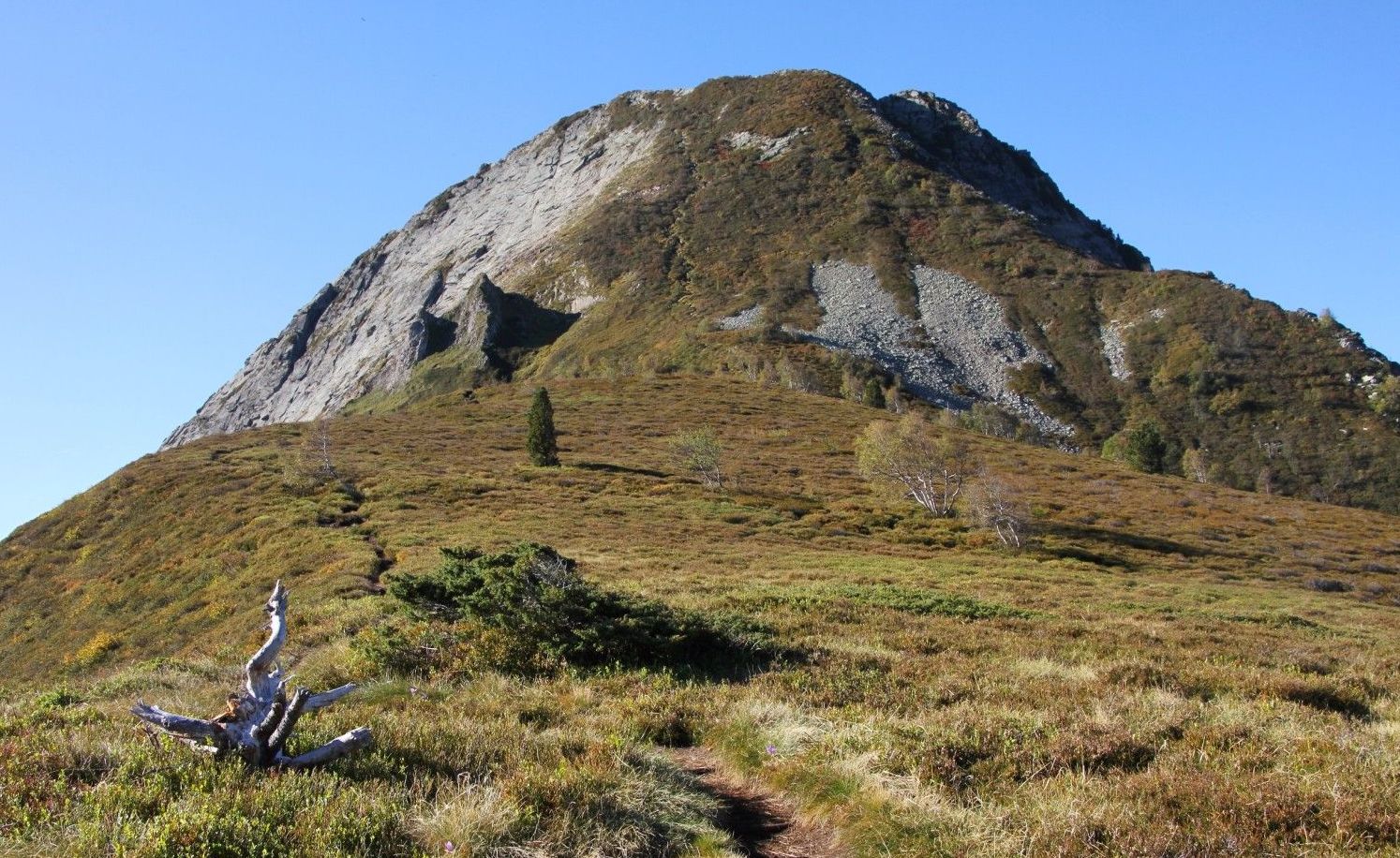
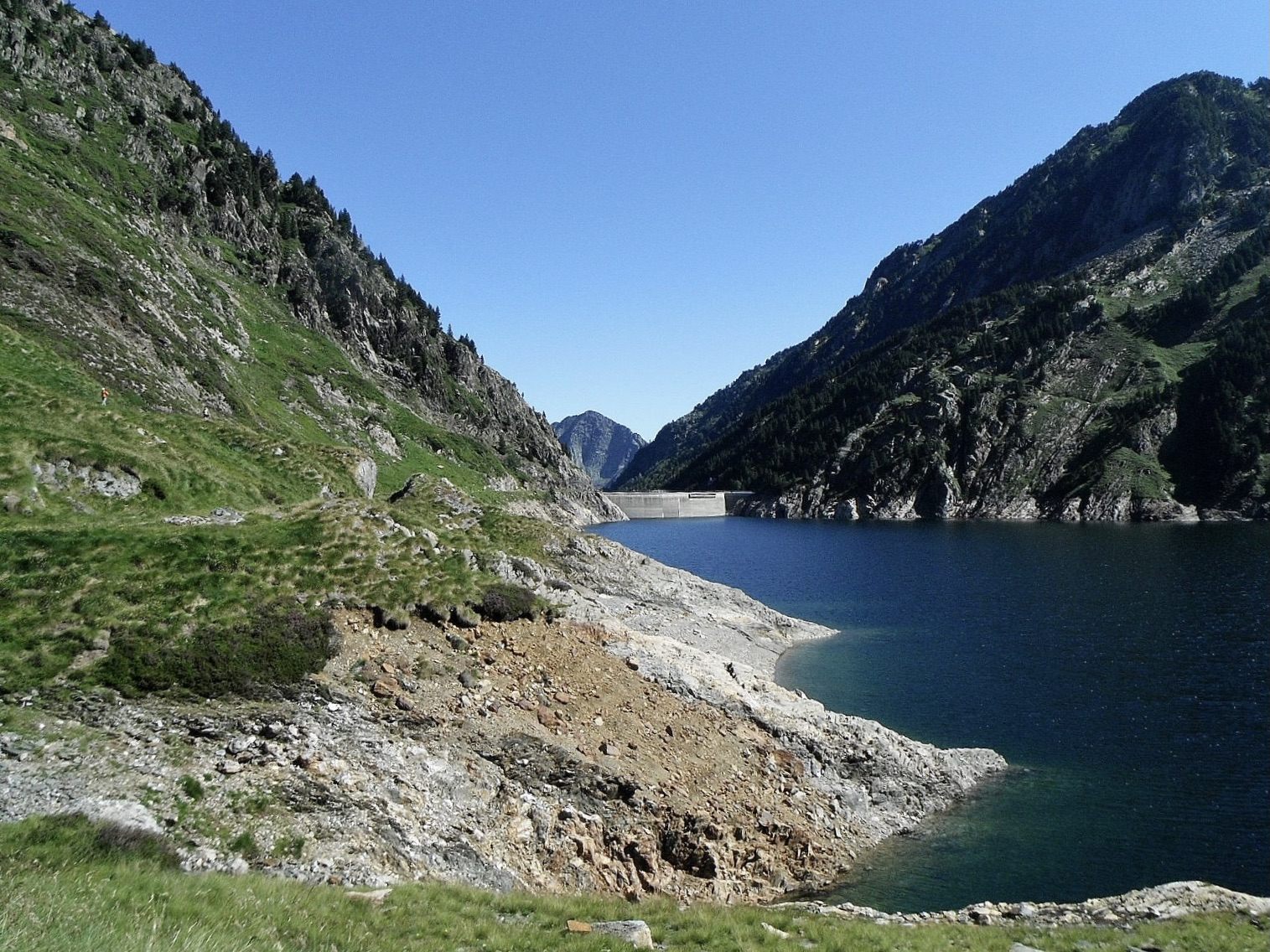
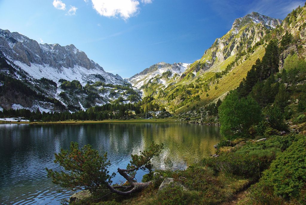
Here is a round trip to the Laurenti pond, surrounded by a beautiful forest of beech and fir trees, all at the foot of Roc Blanc (2,542 m). Considered one of the most beautiful ponds in Ariège, it is therefore quite busy on sunny days.
It is also a popular place to bivouac.
Note that access by car is difficult - see more details in the dedicated section.

Already more than 200,000 users!
Uphill
357m
Highest point
1962m
Downhill
357m
Lowest point
1619m
Route type
There and back
Download the map on your smartphone to save battery and rest assured to always keep access to the route, even without signal.
Includes IGN France and Swisstopo.
Parking near the refuge Forestier du Laurenti.
Note that the road leading from Le Pla to the start of the trail is in a bad state. Avoid if you drive a low car.
Authorised on a leash
From May to October
3 ratings
On a passé un excellent moment, la vue est a couper le souffle. Attention cependant prévoyez de bonnes chaussures (chemin très caillouteux
Étang magnifique ! Difficulté moyenne. Par contre faire attention aux voitures basses car la route est extrêmement dégradée et ma polo n’a faillit pas y passer car énorme trou sur le passage
Sinon c’était magnifique avec les couleurs de l’automne 😍
Also enjoy:

Already more than 200,000 users!