Uphill
1007m
France > Occitanie > Pyrénées-Orientales > Catalan Pyrenees Regional Natural Park
Length
16km
Duration
7h30min
Elev gain
1007m
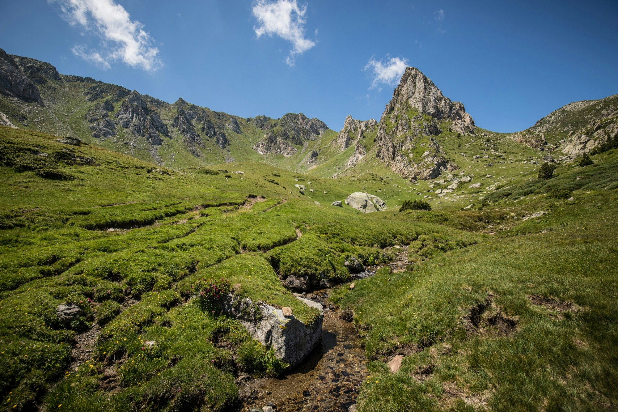
Starting from the heights of Lake Puyvalador, this hike offers a breathtaking view of Capcir and its peaks. The trail passes through the refuges of Bécet and Oller, then through the rock of Nou Fonts (2,333m), before reaching the Pic de Madrès (2,469m).

Already more than 200,000 users!
Uphill
1007m
Highest point
2450m
Downhill
1007m
Lowest point
1494m
Route type
There and back
Download the map on your smartphone to save battery and rest assured to always keep access to the route, even without signal.
Includes IGN France and Swisstopo.
I indicate whether dogs are allowed or prohibited on this trail
From June to September
0 ratings
Also enjoy:

Already more than 200,000 users!


