Uphill
154m
Length
6km
Duration
2h
Elev gain
154m
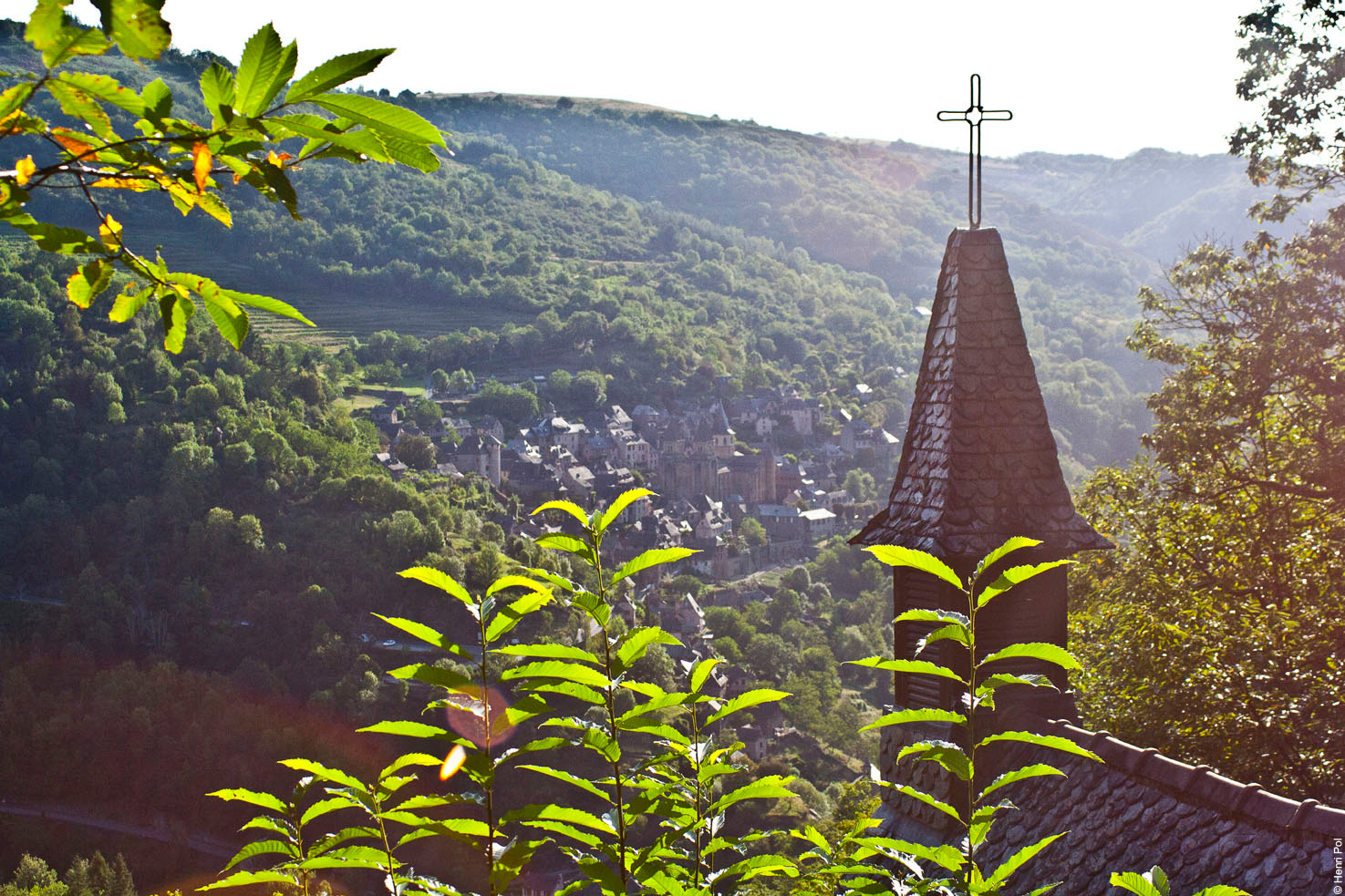
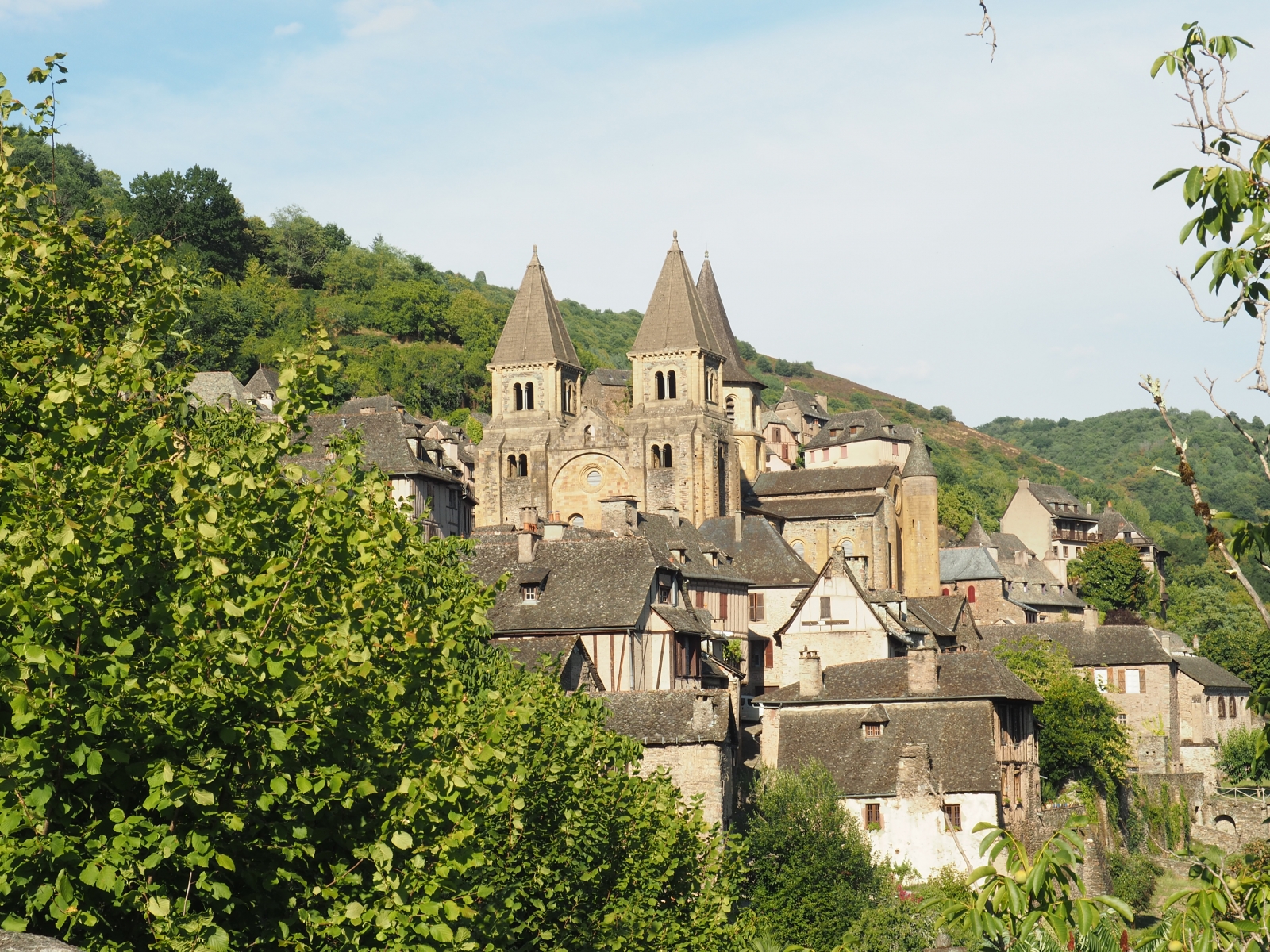
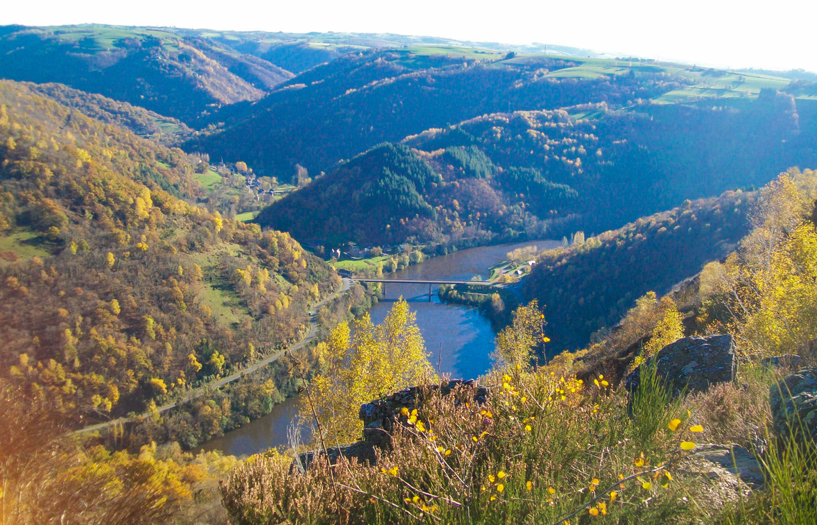
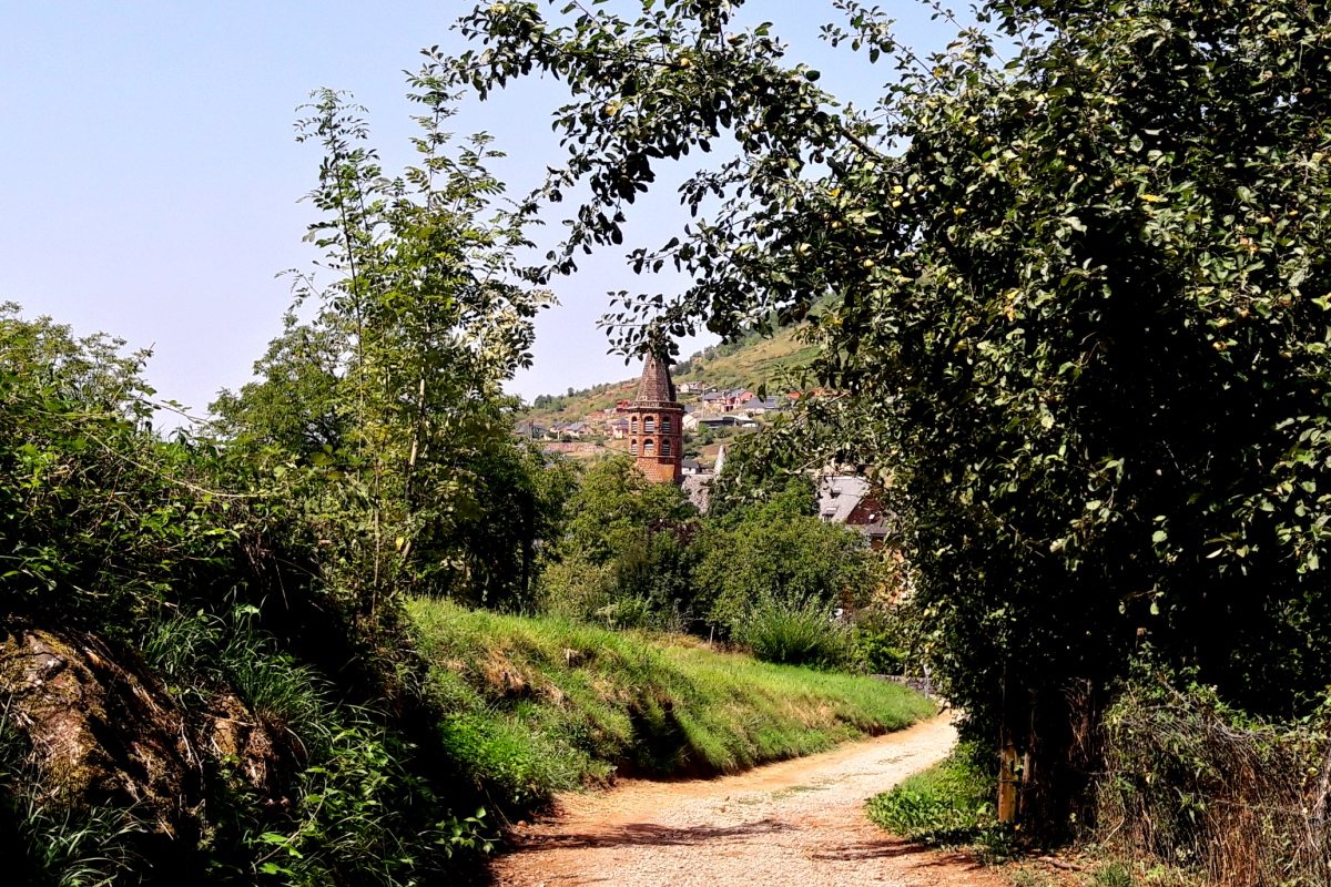
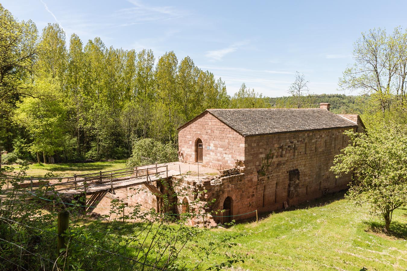
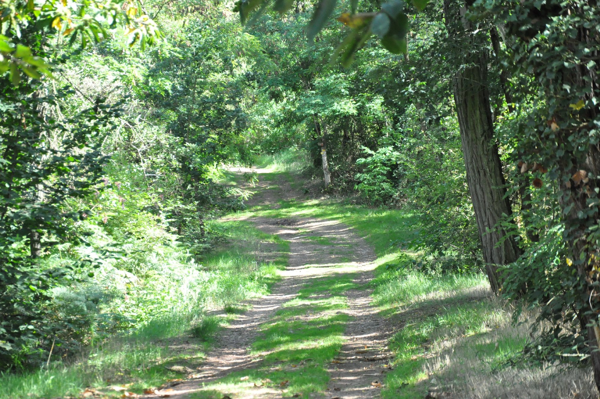
Departing from Cransac, this route makes a pretty little loop in the heart of the Vaysse forest. A walk in the middle of nature and in the shade of the trees, very pleasant during hot weather.

Already more than 200,000 users!
Uphill
154m
Highest point
414m
Downhill
154m
Lowest point
307m
Route type
Loop
Download the map on your smartphone to save battery and rest assured to always keep access to the route, even without signal.
Includes IGN France and Swisstopo.
I indicate whether dogs are allowed or prohibited on this trail
All year
1 rating
Also enjoy:

Already more than 200,000 users!