Uphill
355m
Length
10km
Duration
3h30min
Elev gain
355m
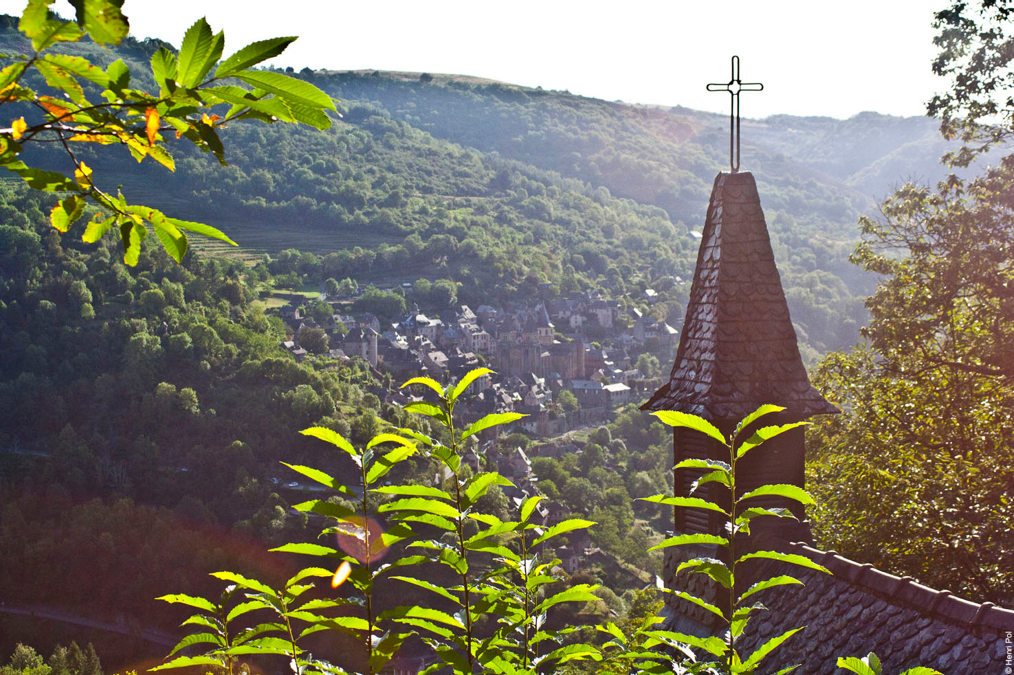
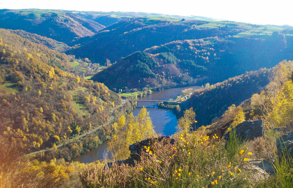
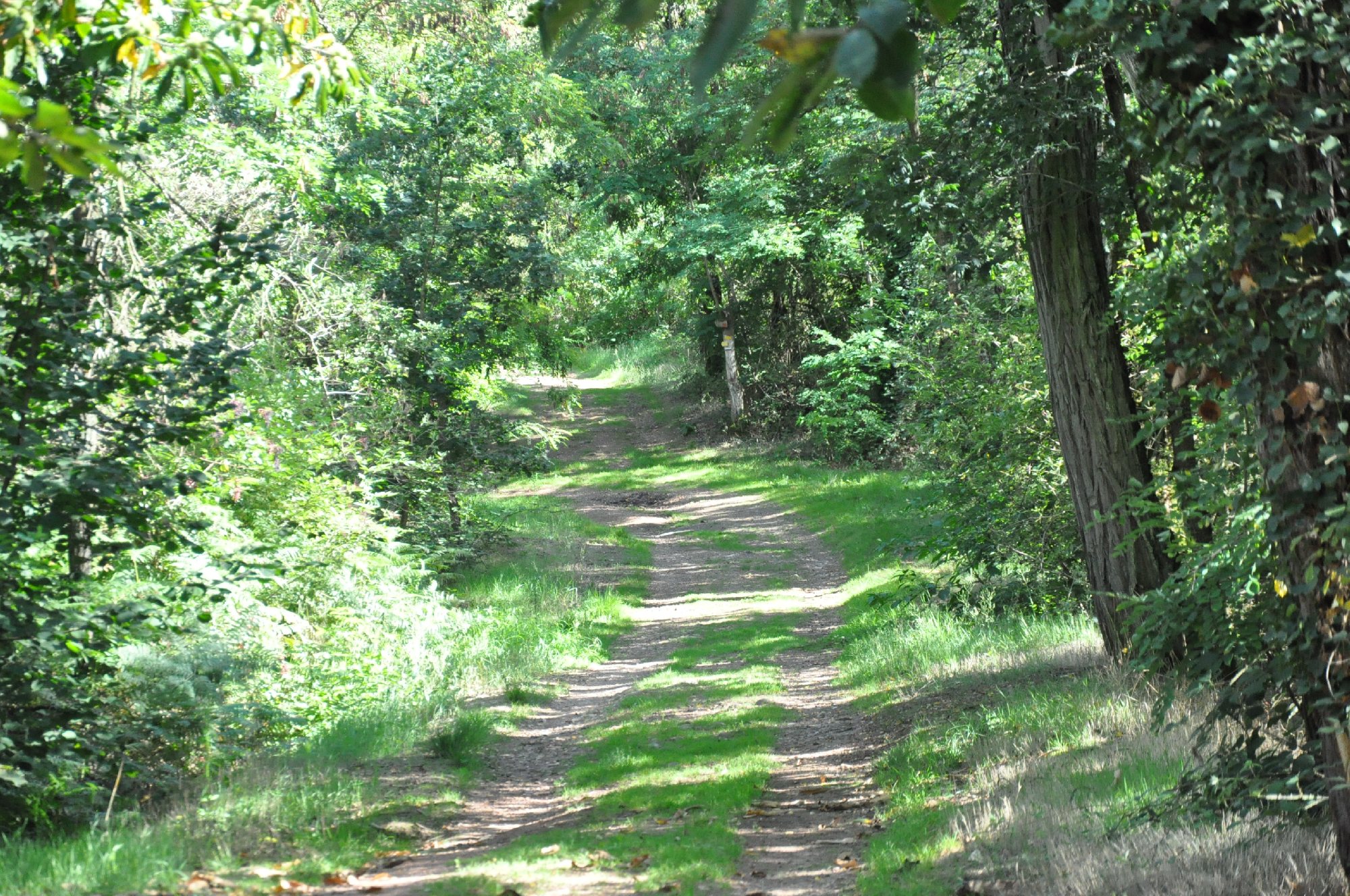
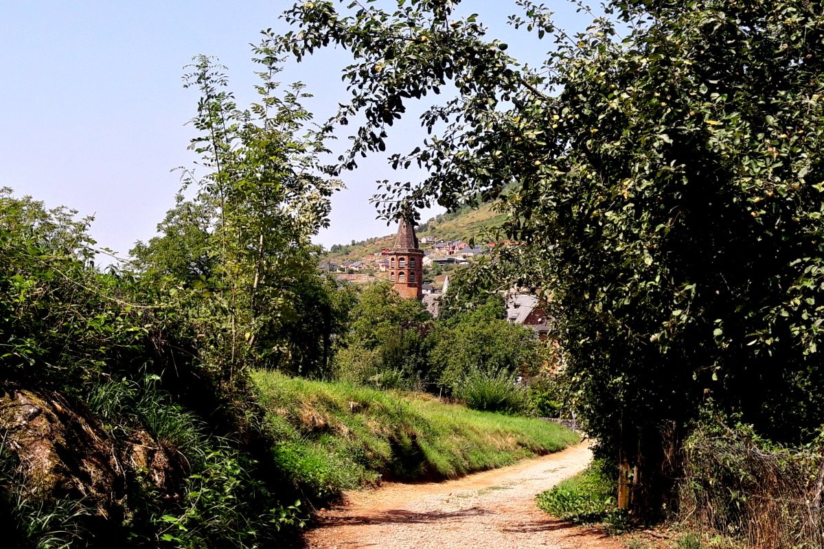
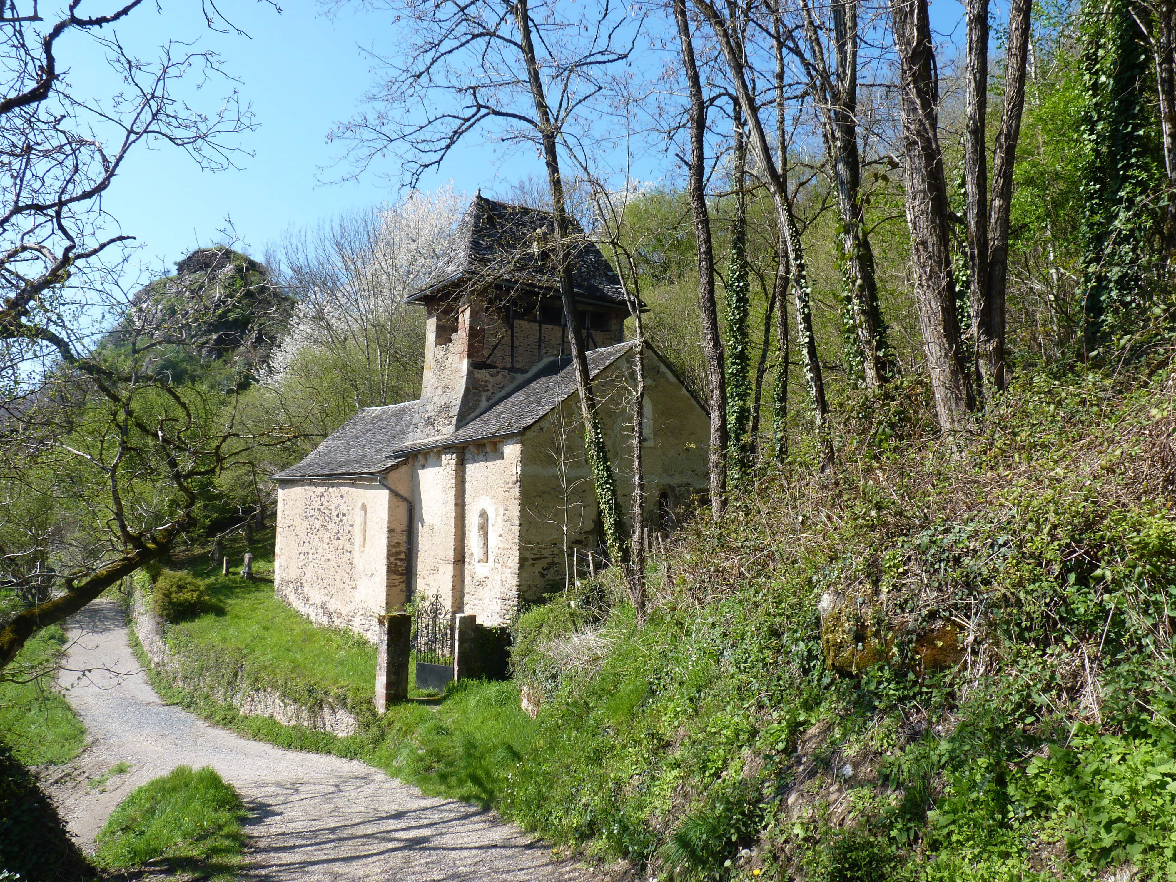
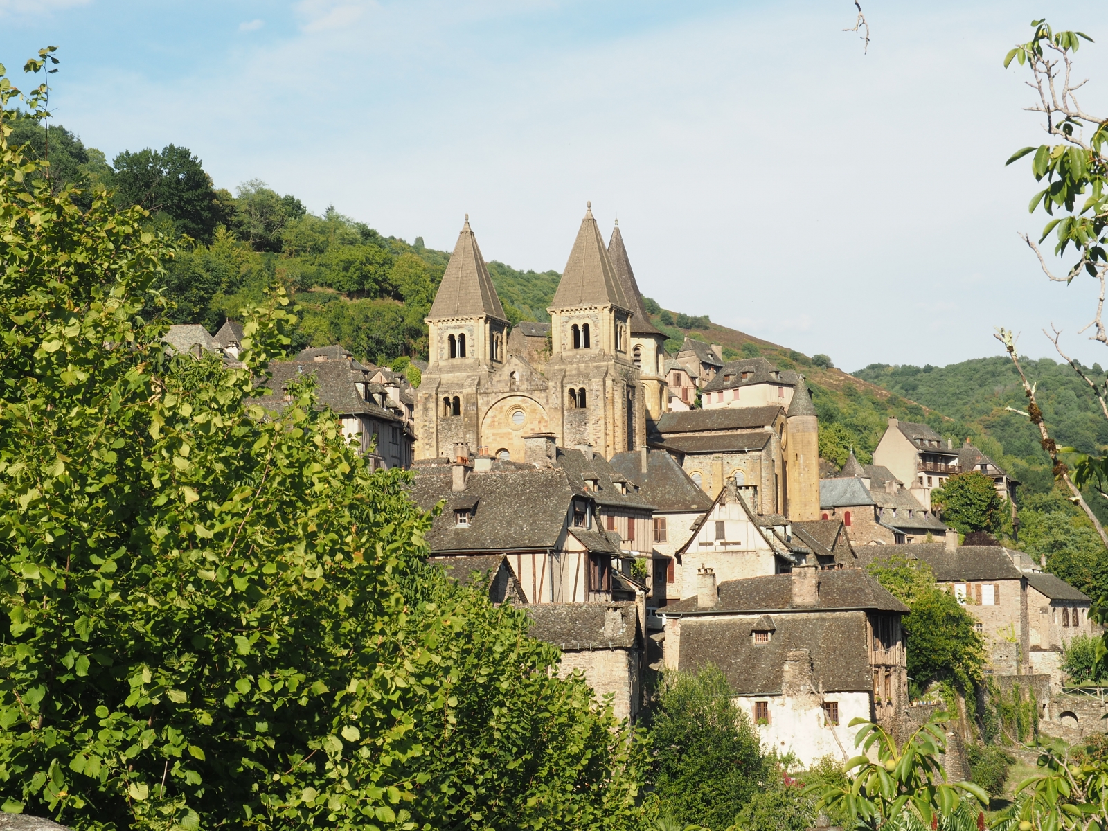
Departing from Conques, ranked among the most beautiful villages in France, this hike skilfully combines nature and heritage. The route passes by two equally beautiful churches, crosses the village, then plunges into the forest before emerging into the surrounding countryside.
Note that this route takes small roads several times.

Already more than 200,000 users!
Uphill
355m
Highest point
573m
Downhill
355m
Lowest point
270m
Route type
Loop
Download the map on your smartphone to save battery and rest assured to always keep access to the route, even without signal.
Includes IGN France and Swisstopo.
Parking de l'Etoile at the start of the hike (paid parking).
Parking du Faubourg a little further away (free).
I indicate whether dogs are allowed or prohibited on this trail
All year
0 ratings
Also enjoy:

Already more than 200,000 users!