Uphill
347m
Length
6km
Duration
2h30min
Elev gain
347m
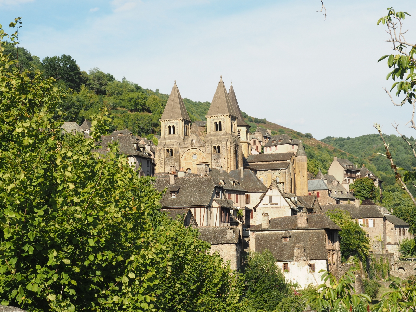
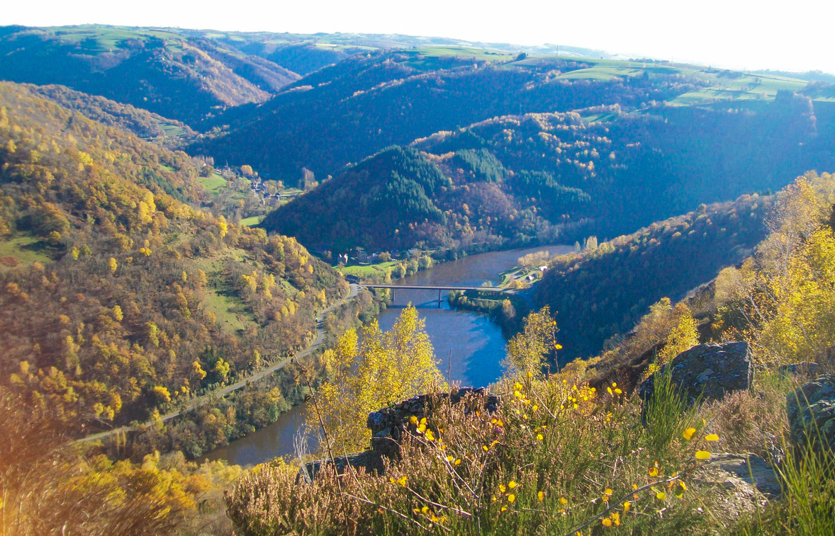
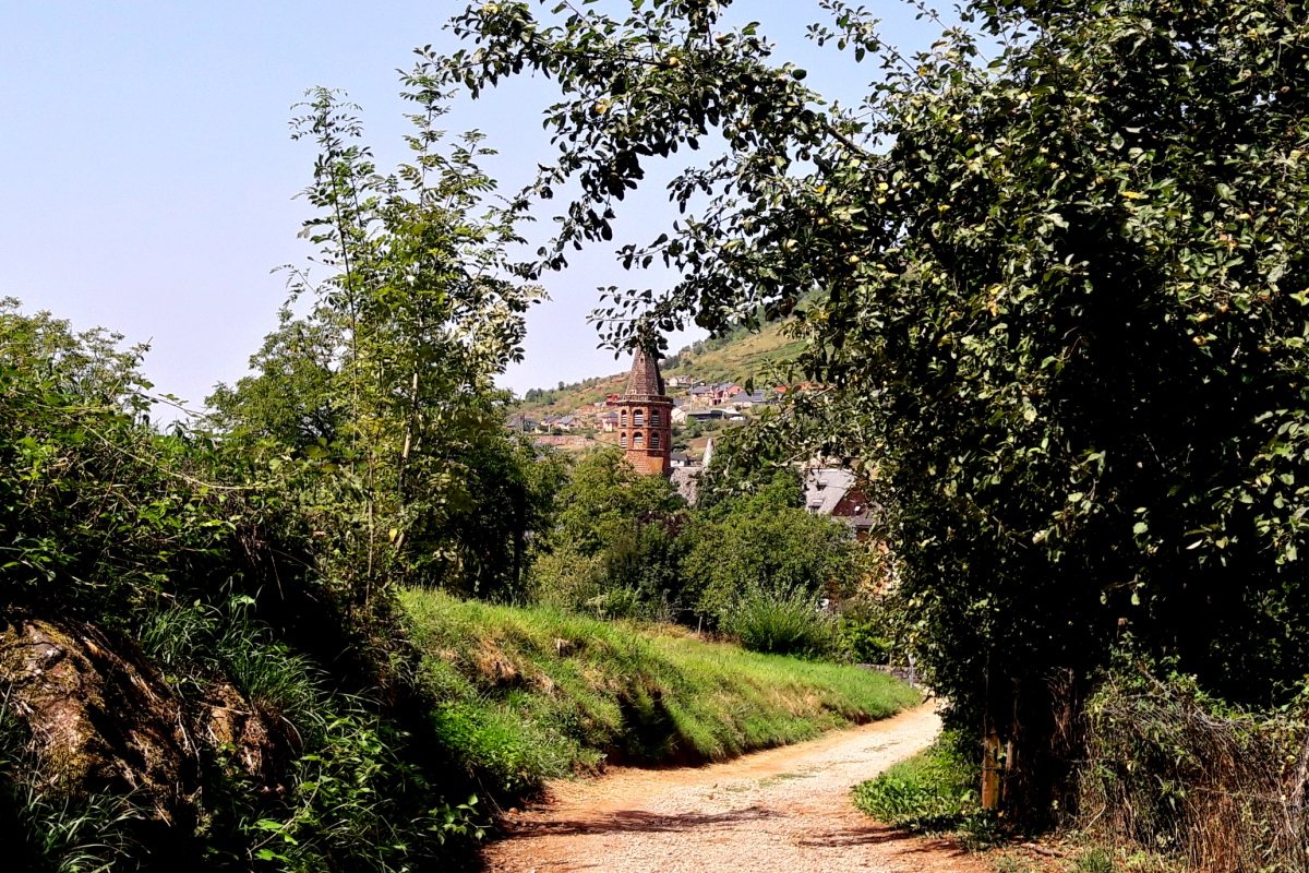
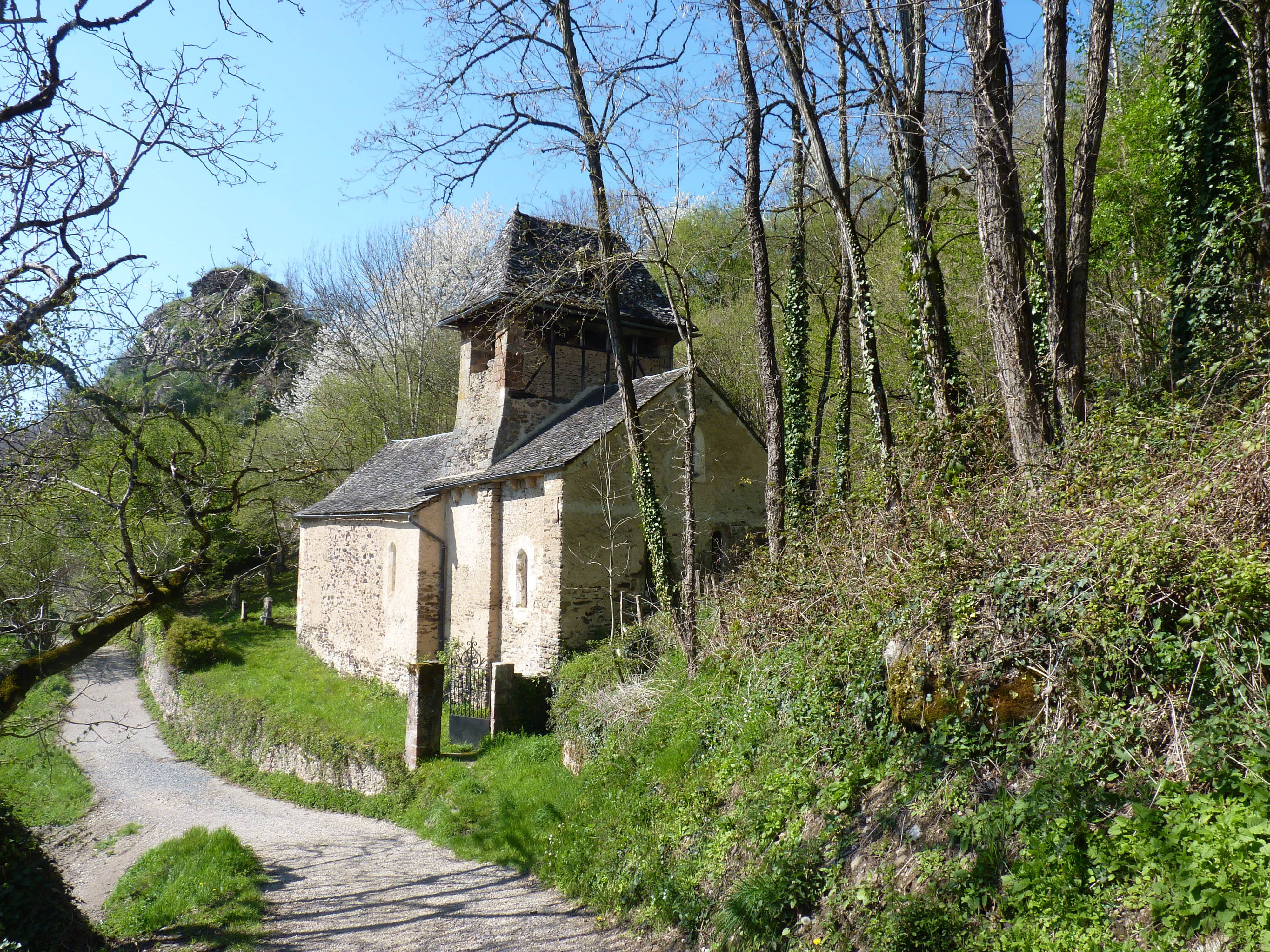
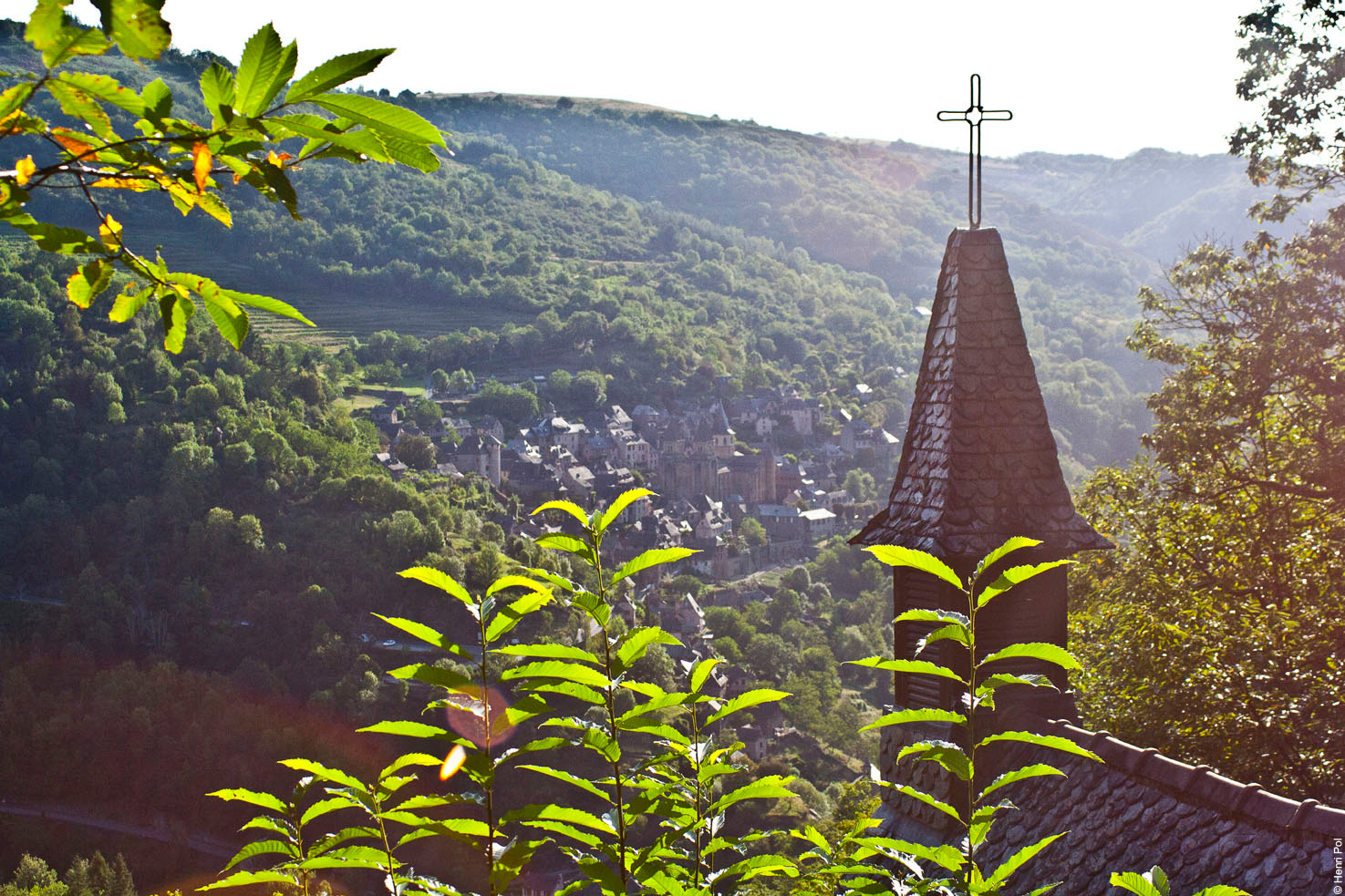
Starting from Conques, this hike makes a nice loop on the heights of the village. The route climbs and offers many viewpoints over the surroundings, then makes a short stop at the charming Sainte-Foy chapel on the way back.
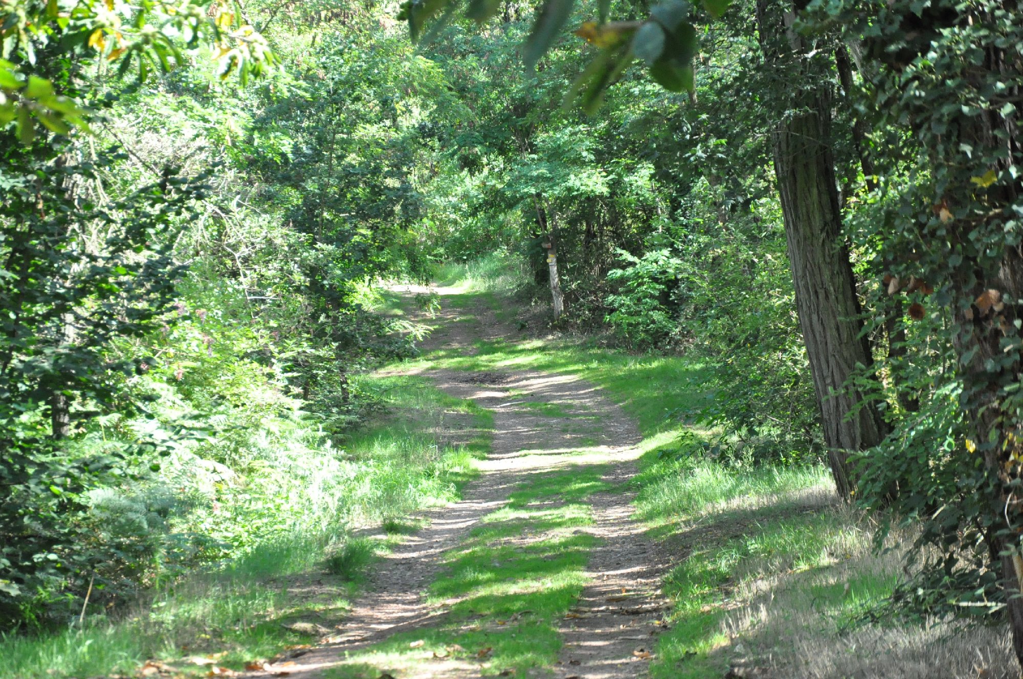
Note several passages on the road.

Already more than 200,000 users!
Uphill
347m
Highest point
548m
Downhill
347m
Lowest point
217m
Route type
Loop
Download the map on your smartphone to save battery and rest assured to always keep access to the route, even without signal.
Includes IGN France and Swisstopo.
I indicate whether dogs are allowed or prohibited on this trail
All year
0 ratings
Also enjoy:

Already more than 200,000 users!