Uphill
649m
France > Occitanie > Hérault > Haut-Languedoc Nature Park
Length
11km
Duration
5h
Elev gain
649m
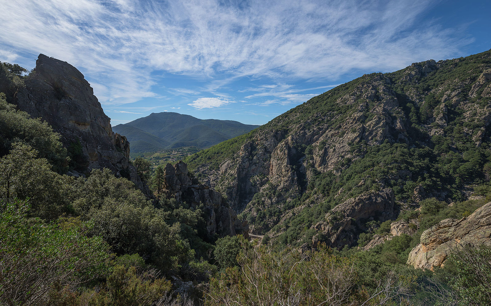
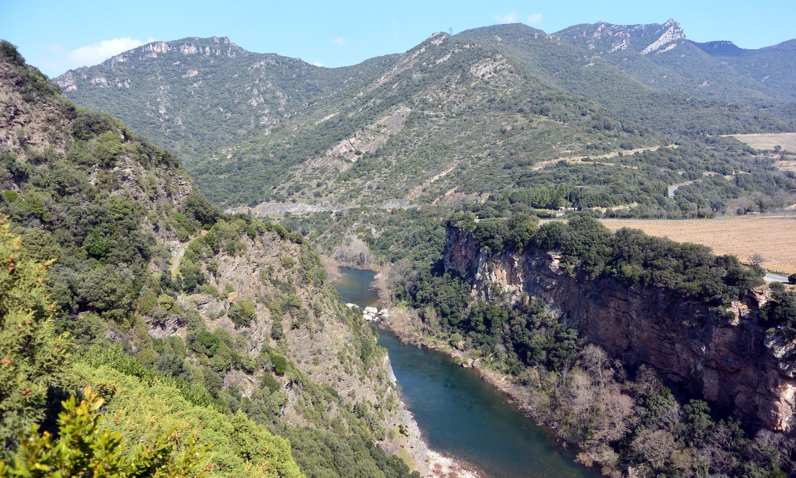
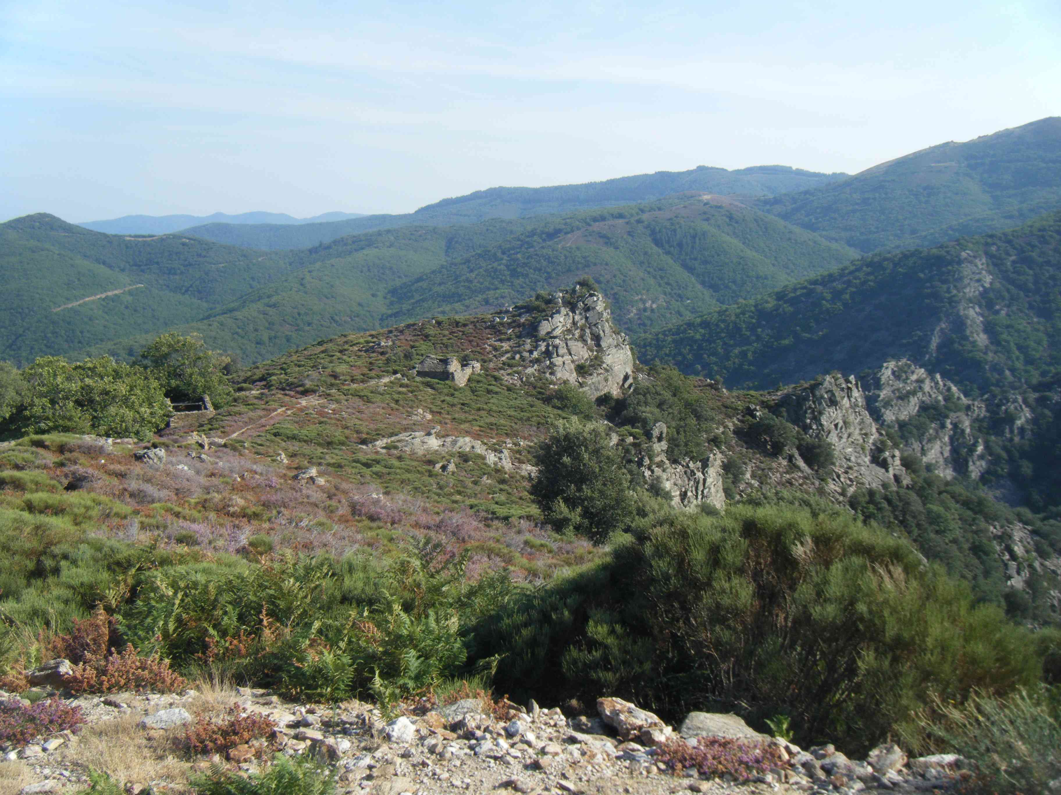
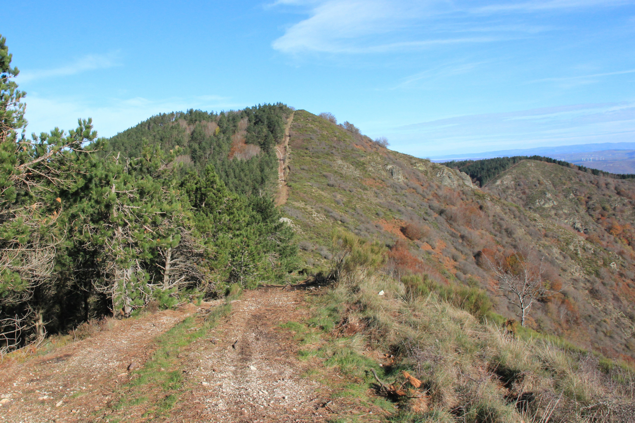
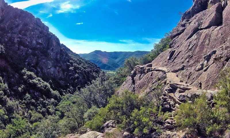
Path on the cliff side, torrent, troglodyte habitat, ancient Roman road... A varied and refreshing hike.

Already more than 200,000 users!
Uphill
649m
Highest point
835m
Downhill
649m
Lowest point
211m
Route type
Loop
Download the map on your smartphone to save battery and rest assured to always keep access to the route, even without signal.
Includes IGN France and Swisstopo.
I indicate whether dogs are allowed or prohibited on this trail
All year
3 ratings
Magnifique
Also enjoy:

Already more than 200,000 users!