Uphill
336m

Length
6km
Duration
2h30min
Elev gain
336m
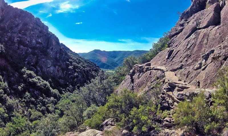
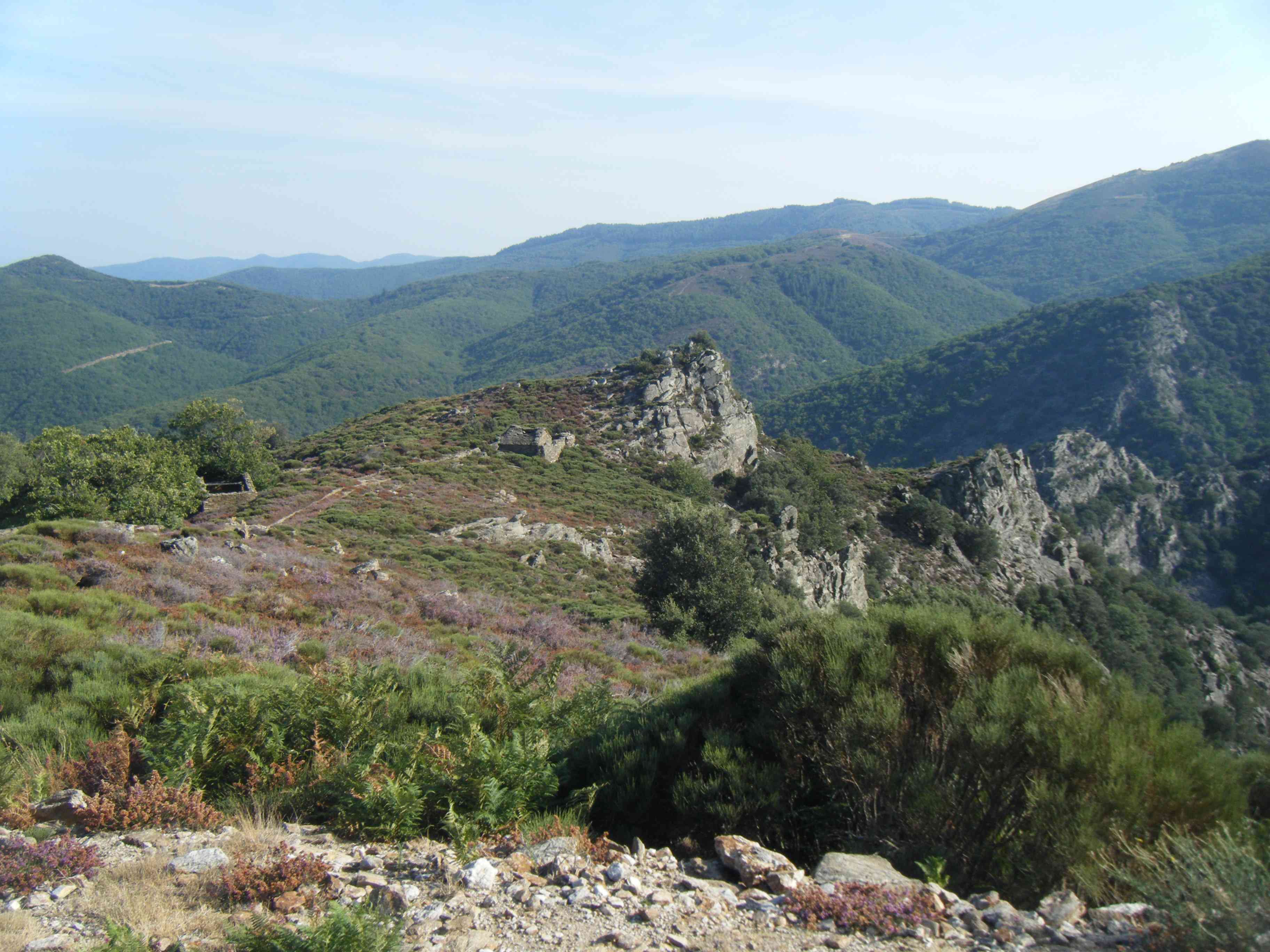
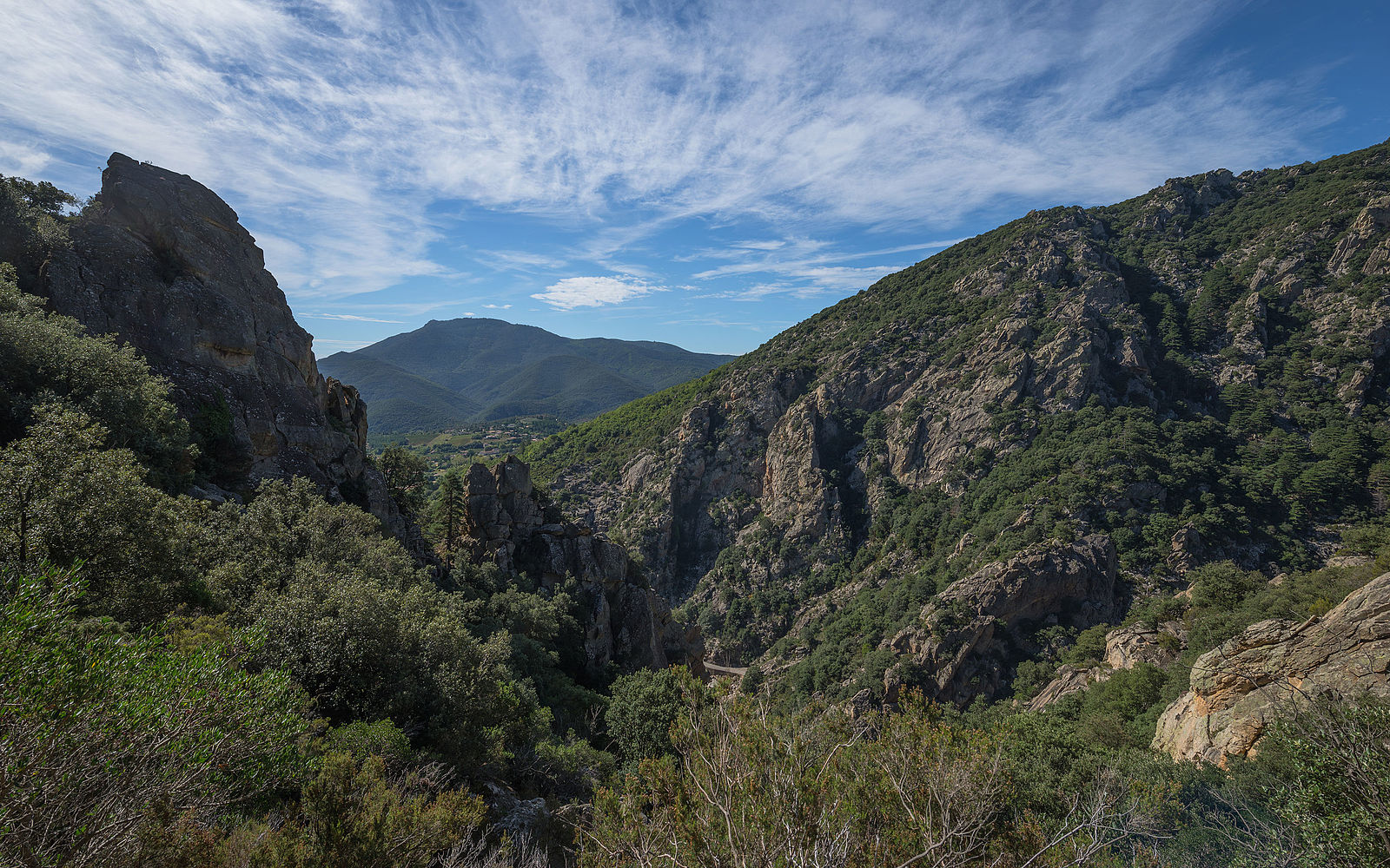
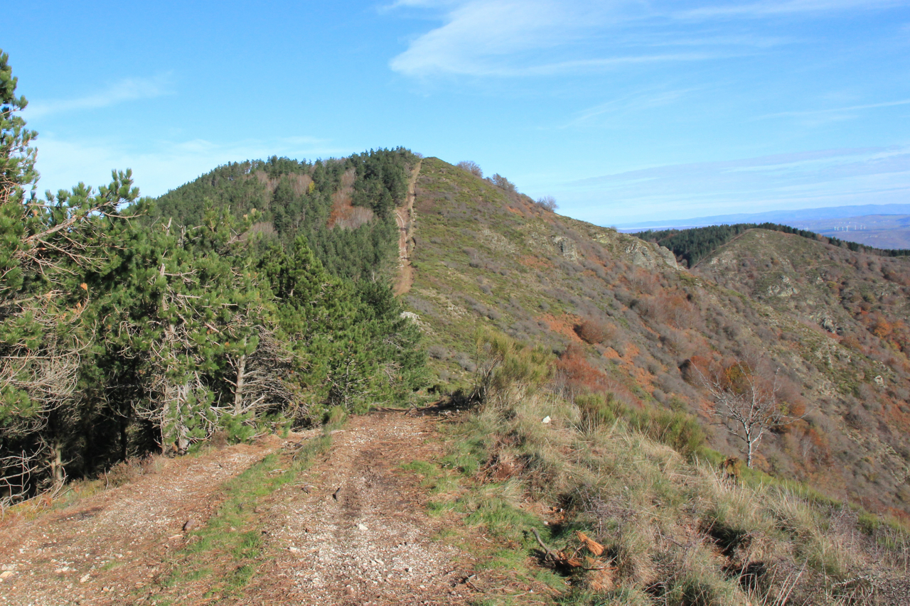
Here is a hike with beautiful landscapes, starting from the Col des Avels. After a fairly steep and steep start, the trail continues and reaches Mont Caroux, at 1,091 meters. At the top, the view is spectacular.

Already more than 200,000 users!
Uphill
336m
Highest point
1084m
Downhill
336m
Lowest point
769m
Route type
There and back
Download the map on your smartphone to save battery and rest assured to always keep access to the route, even without signal.
Includes IGN France and Swisstopo.
I indicate whether dogs are allowed or prohibited on this trail
All year
0 ratings
Also enjoy:

Already more than 200,000 users!