Uphill
587m
Length
10km
Duration
4h30min
Elev gain
587m
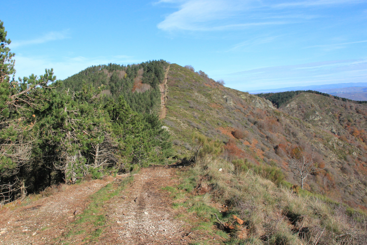
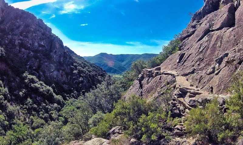
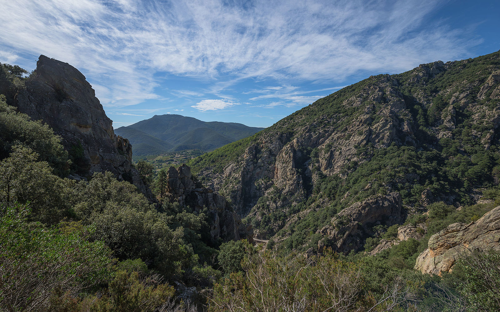
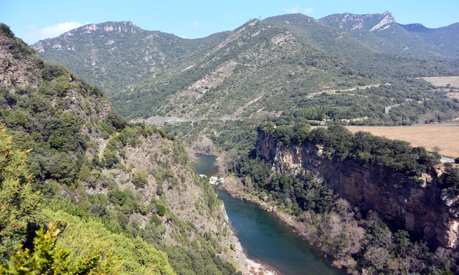
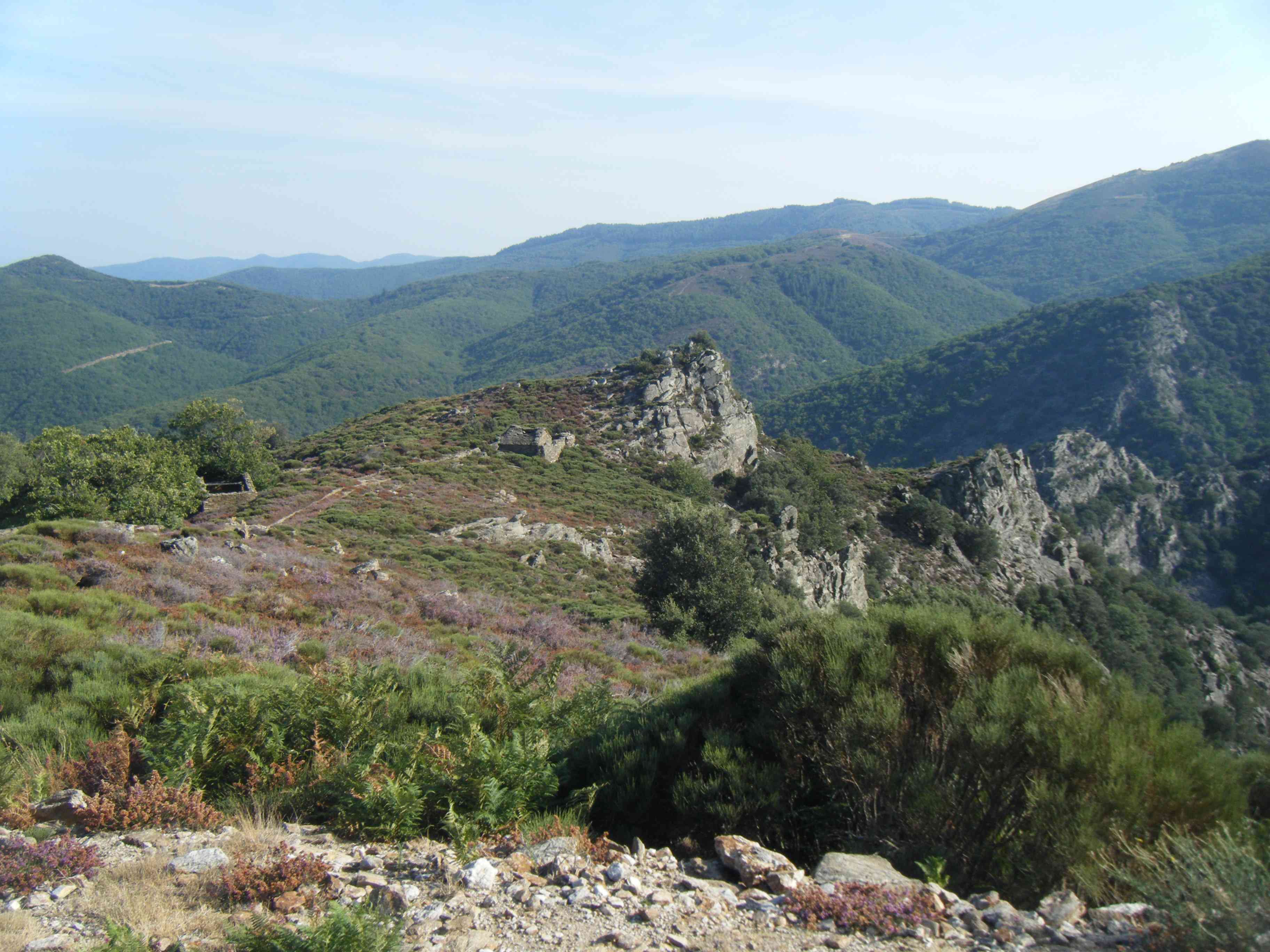
Departing from Cours-le-Bas, this hike makes a loop on various paths, in the undergrowth or in the open. The landscapes are beautiful and the environment is very wild.

Already more than 200,000 users!
Uphill
587m
Highest point
653m
Downhill
587m
Lowest point
338m
Route type
Loop
Download the map on your smartphone to save battery and rest assured to always keep access to the route, even without signal.
Includes IGN France and Swisstopo.
I indicate whether dogs are allowed or prohibited on this trail
All year
0 ratings
Also enjoy:

Already more than 200,000 users!