Uphill
669m
Length
12km
Duration
5h
Elev gain
669m
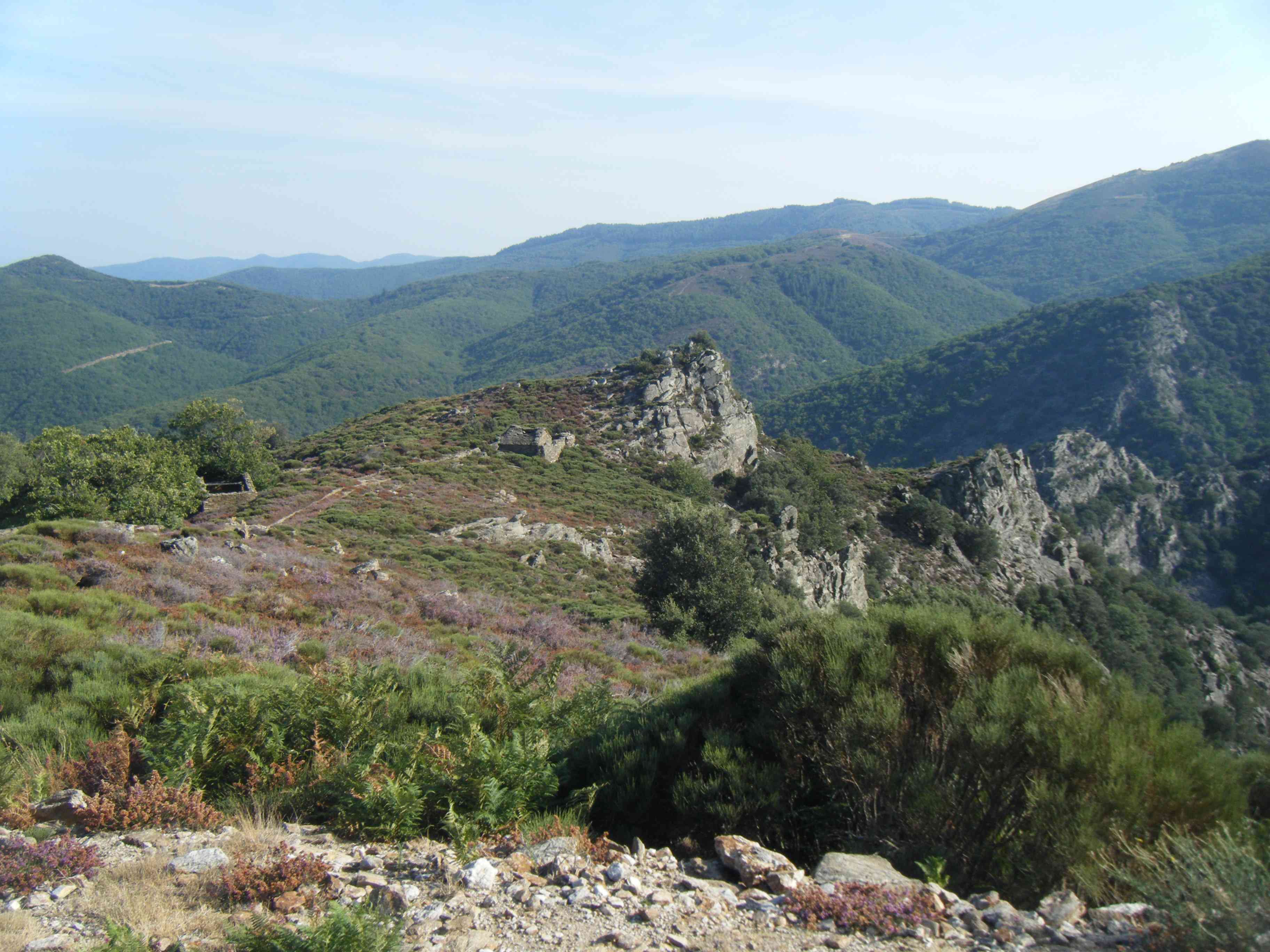
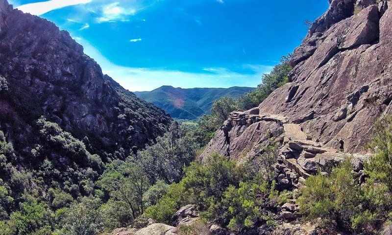
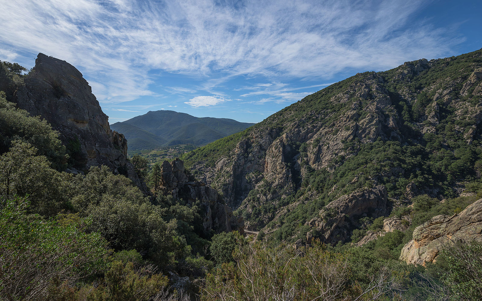
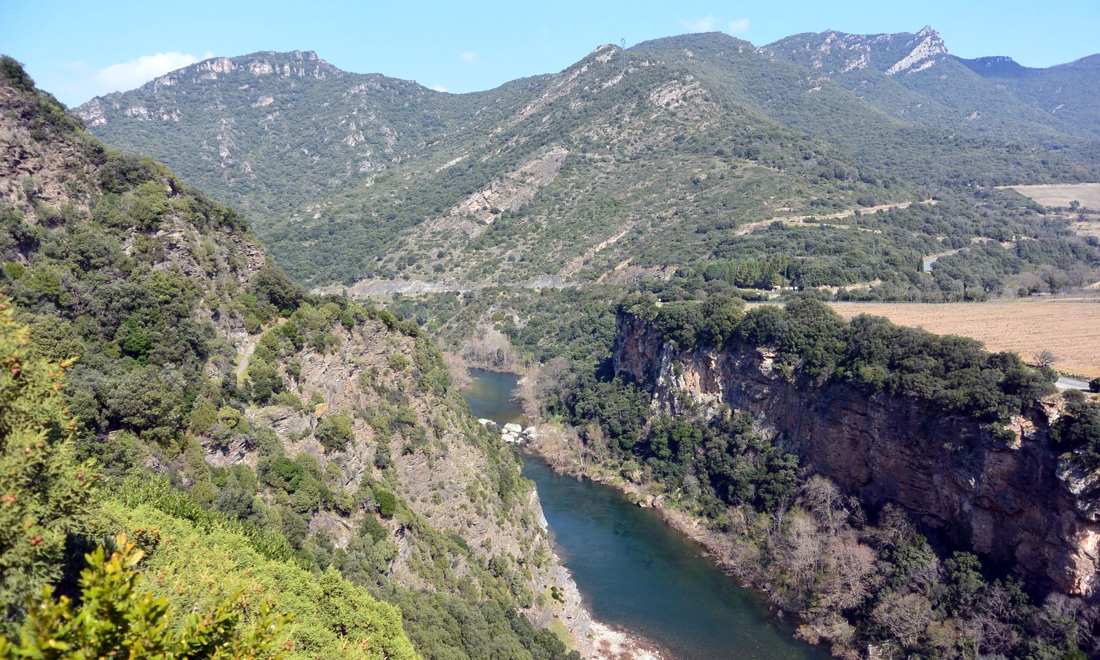
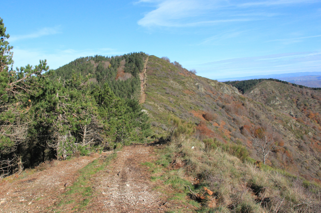
Pretty hike starting from Graissessac which leads to Mont Agut, at 1,022 meters. The trail makes a loop and offers nice views of the surrounding area.

Already more than 200,000 users!
Uphill
669m
Highest point
998m
Downhill
669m
Lowest point
339m
Route type
Loop
Download the map on your smartphone to save battery and rest assured to always keep access to the route, even without signal.
Includes IGN France and Swisstopo.
I indicate whether dogs are allowed or prohibited on this trail
All year
0 ratings
Also enjoy:

Already more than 200,000 users!