Uphill
87m
Length
7km
Duration
2h
Elev gain
87m
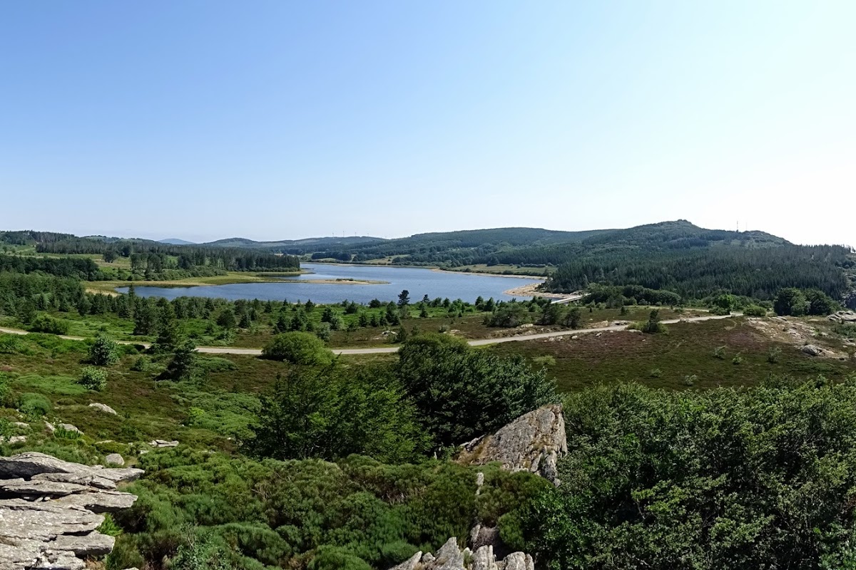
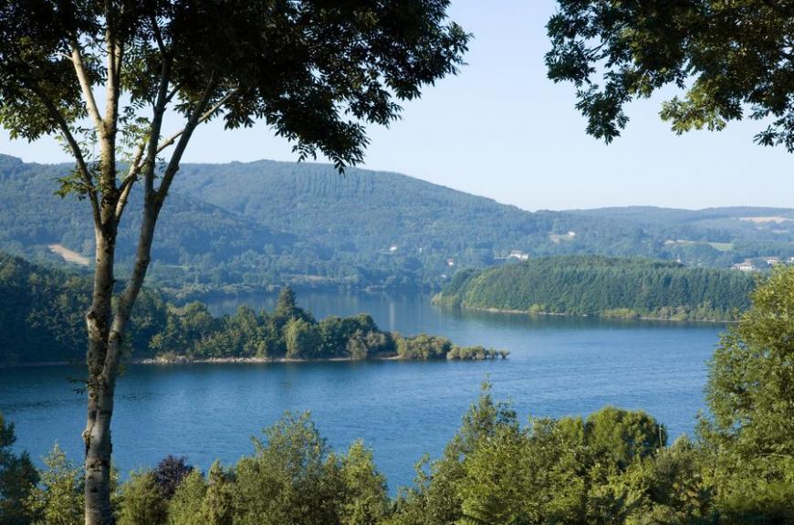
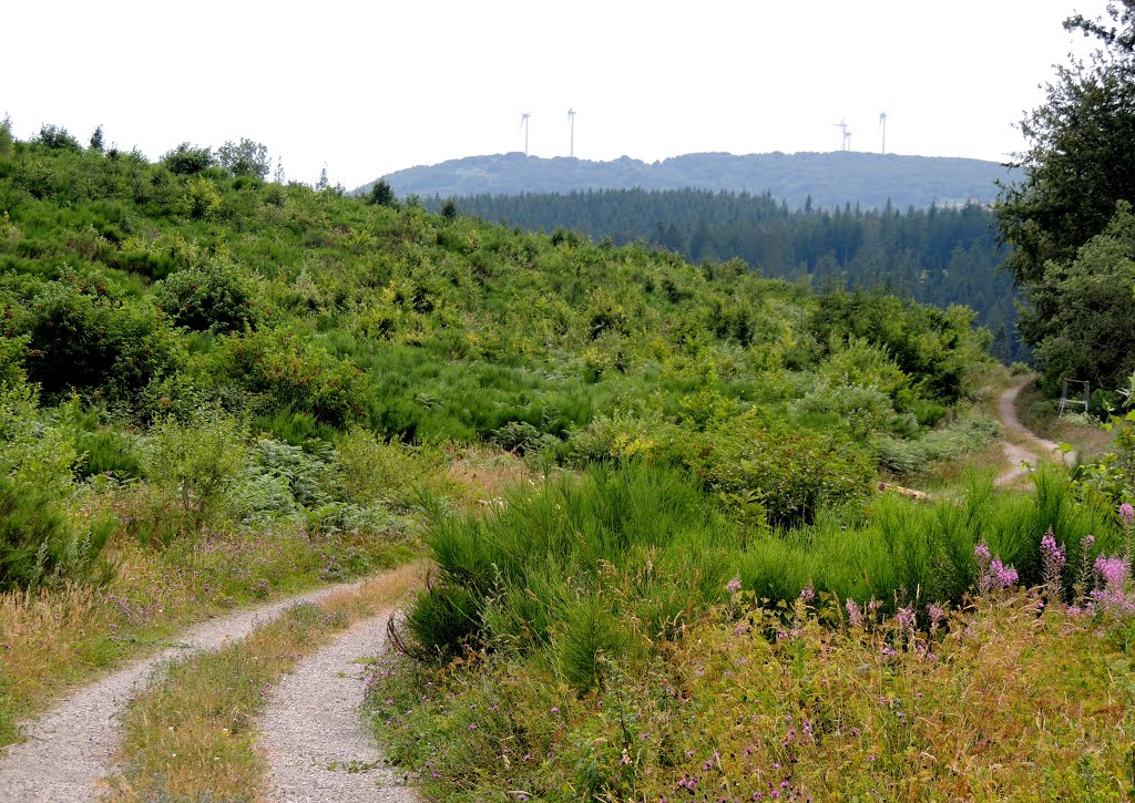
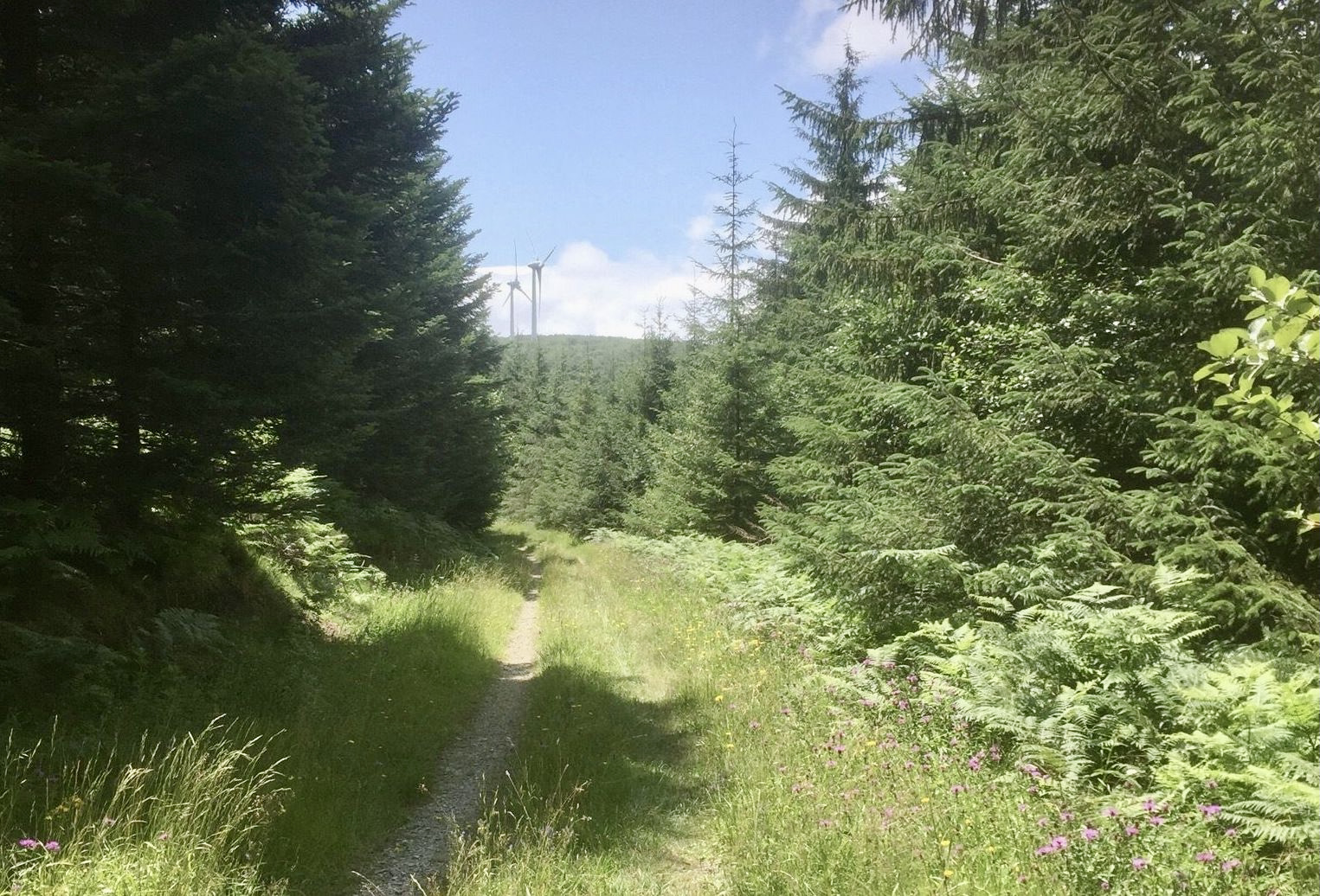
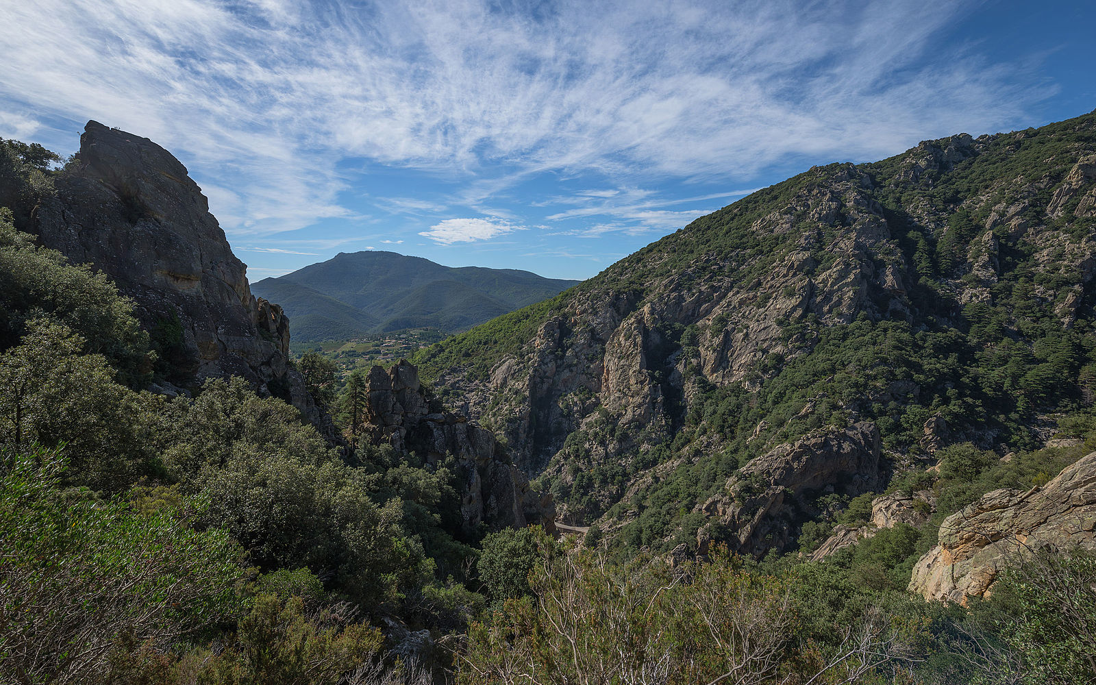
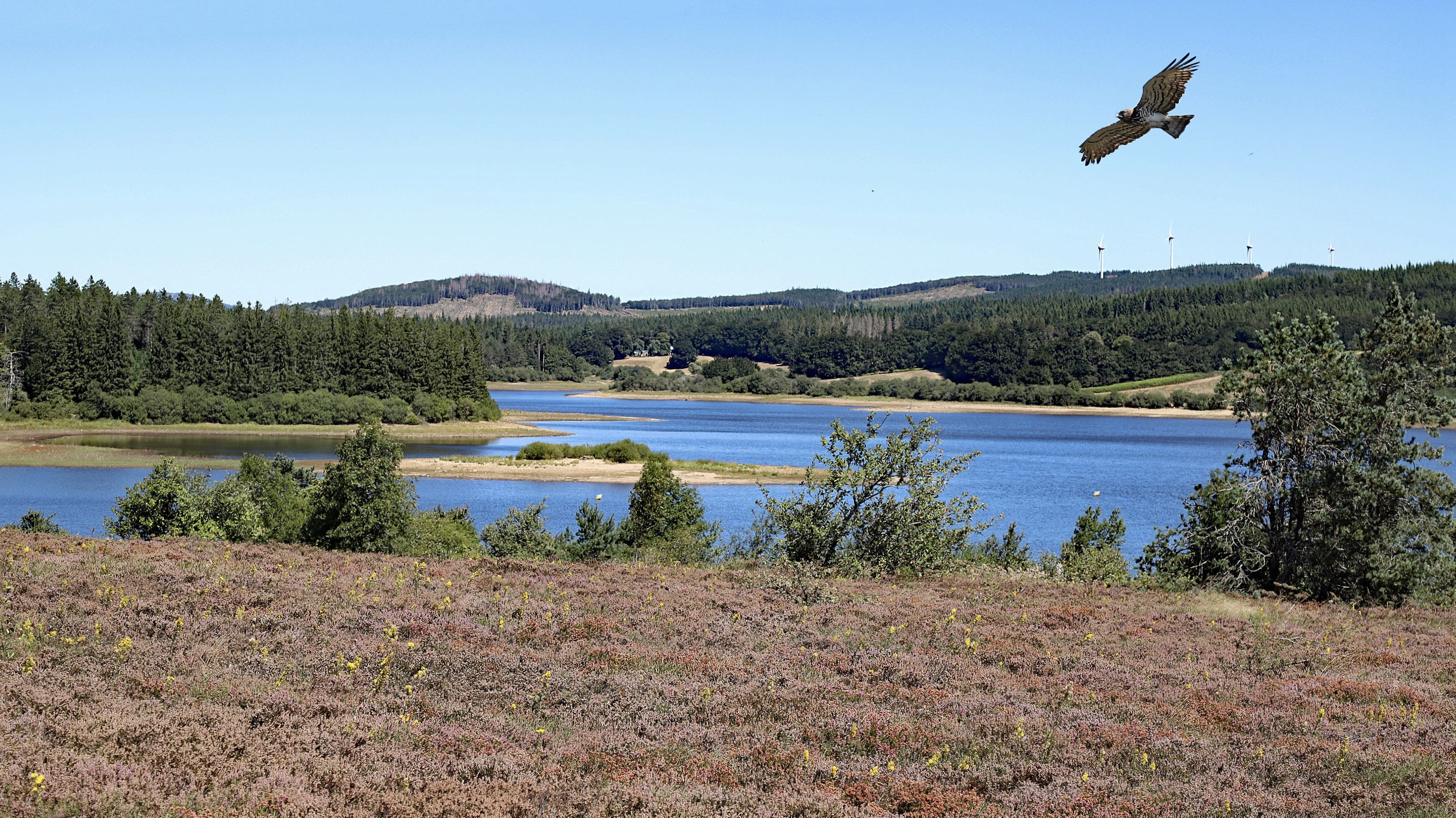
Here is a pleasant hike around the lake of Vézoles, on a path partly in the forest and decorated with picnic tables. Ideal for a family outing.

Already more than 200,000 users!
Uphill
87m
Highest point
998m
Downhill
87m
Lowest point
952m
Route type
Loop
Download the map on your smartphone to save battery and rest assured to always keep access to the route, even without signal.
Includes IGN France and Swisstopo.
I indicate whether dogs are allowed or prohibited on this trail
All year
0 ratings
Also enjoy:

Already more than 200,000 users!