Uphill
236m
Length
16km
Duration
4h30min
Elev gain
236m
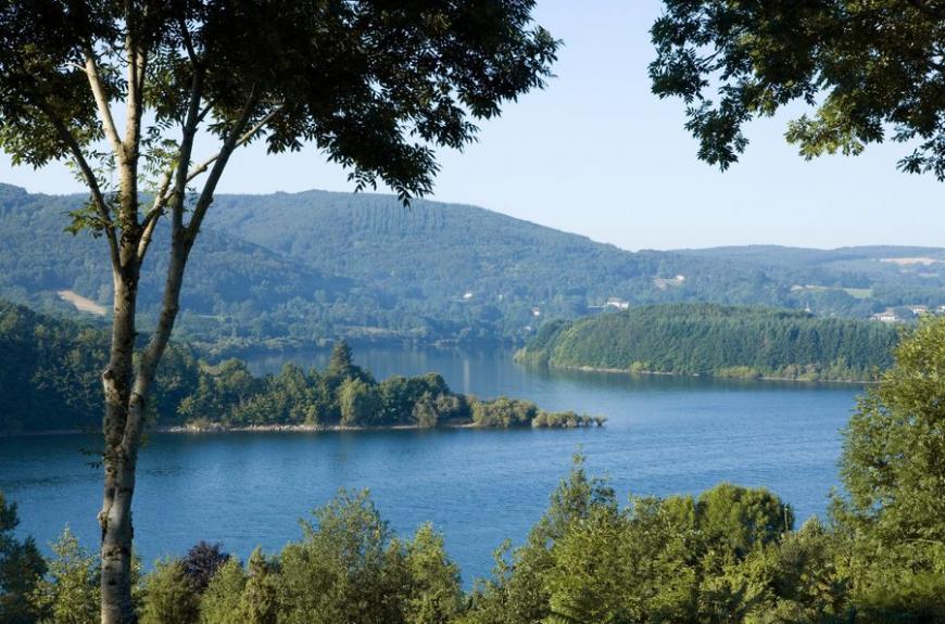
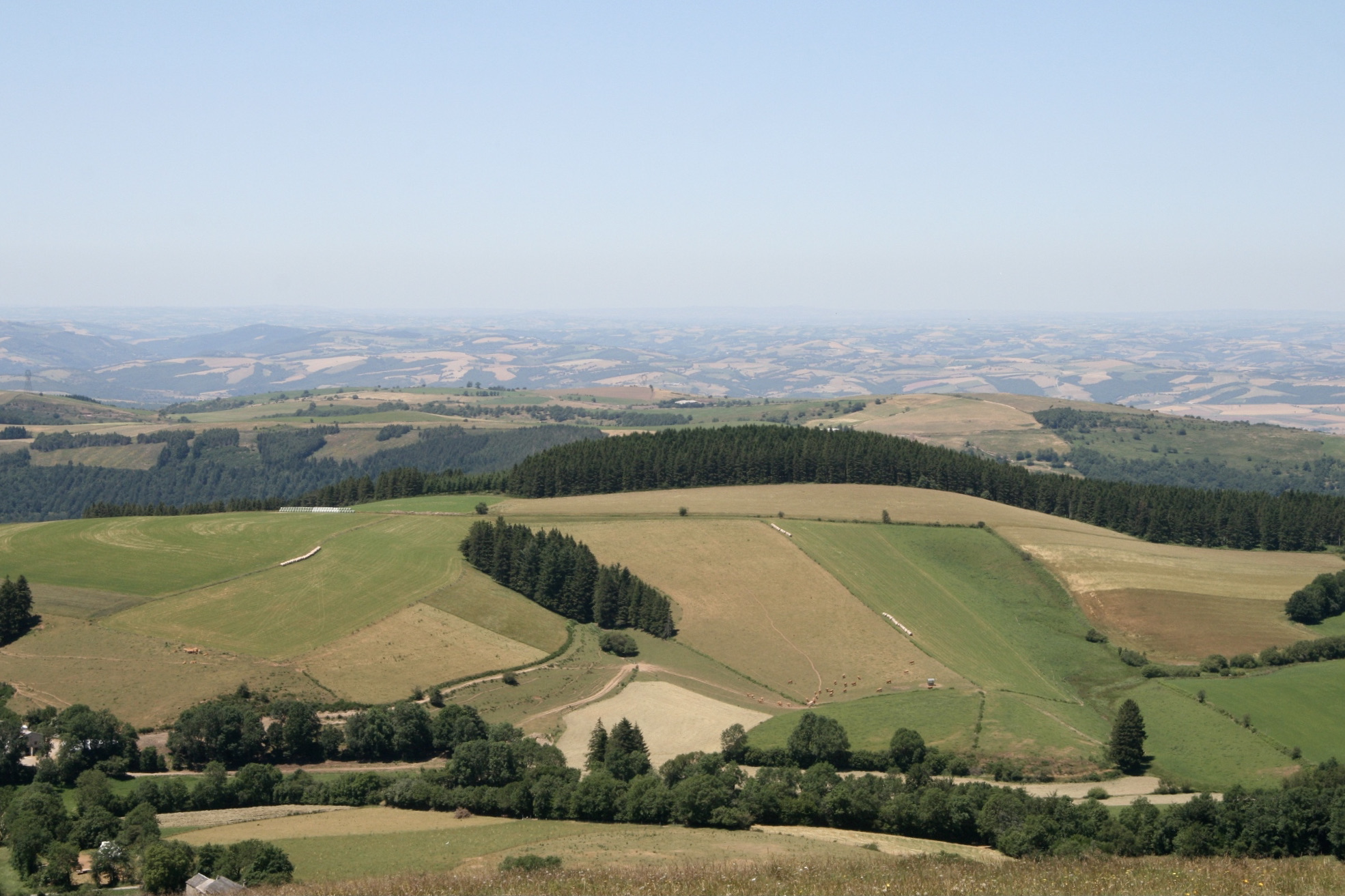
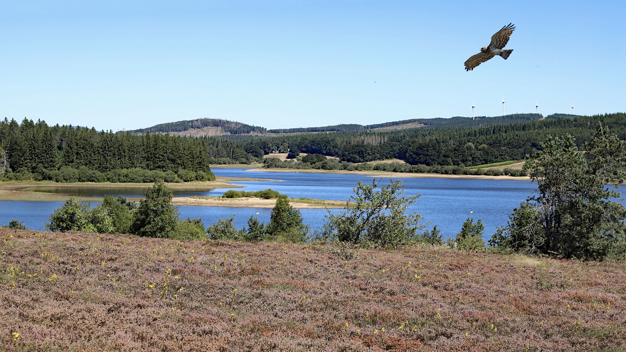
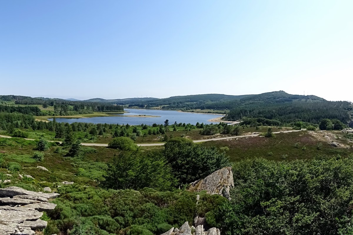
From the Col de Picotalen, this hike makes a loop in the charming national forest of Lacaune, notably crossing the managed reserve of the Tourbière de la Jasse de Martinou.
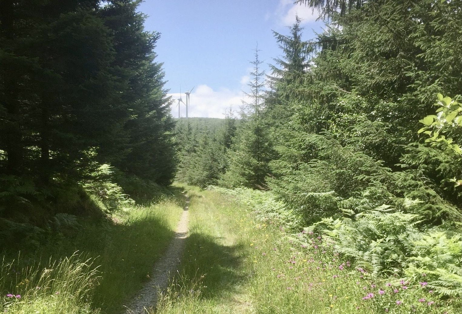
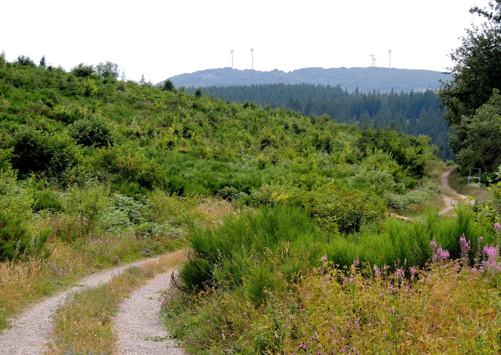
It should be noted, however, that the first five kilometers are on a road with little traffic, used for the management of the wind turbines nearby.

Already more than 200,000 users!
Uphill
236m
Highest point
1152m
Downhill
236m
Lowest point
975m
Route type
Loop
Download the map on your smartphone to save battery and rest assured to always keep access to the route, even without signal.
Includes IGN France and Swisstopo.
I indicate whether dogs are allowed or prohibited on this trail
Can be difficult in Winter
0 ratings
Also enjoy:

Already more than 200,000 users!