Uphill
689m
France > Occitanie > Hérault > Haut-Languedoc Nature Park
Length
16km
Duration
6h
Elev gain
689m
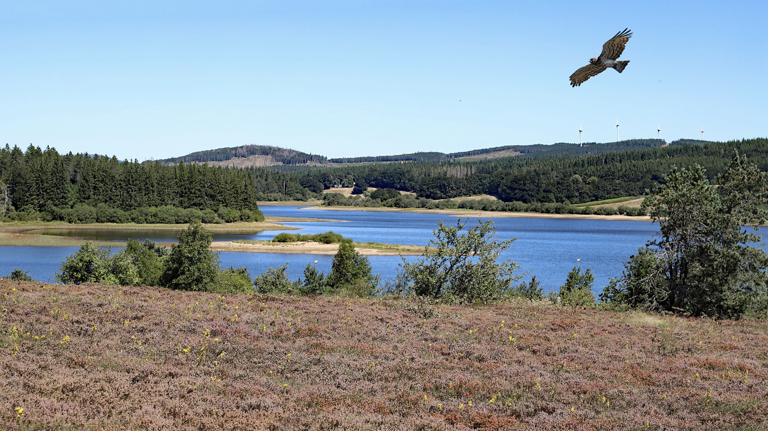
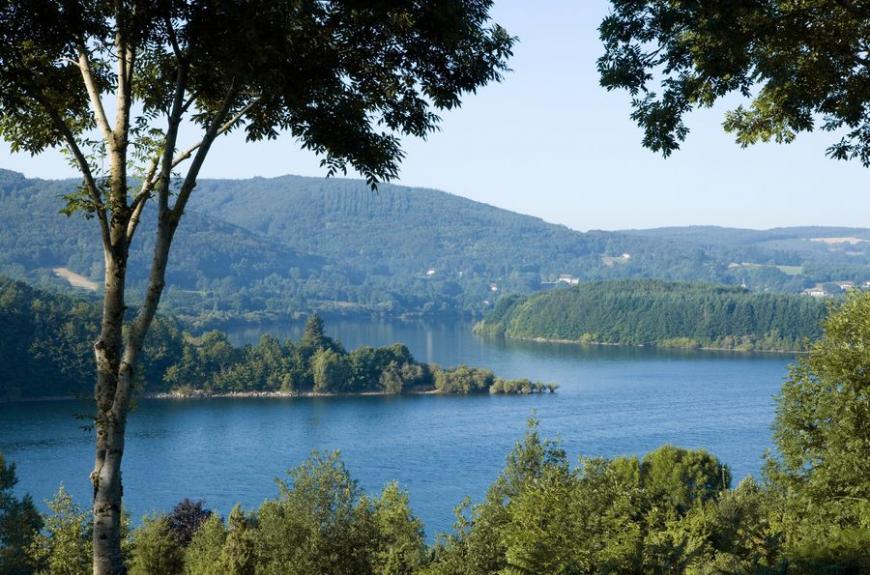
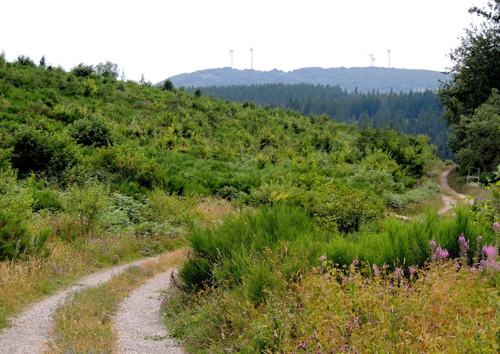
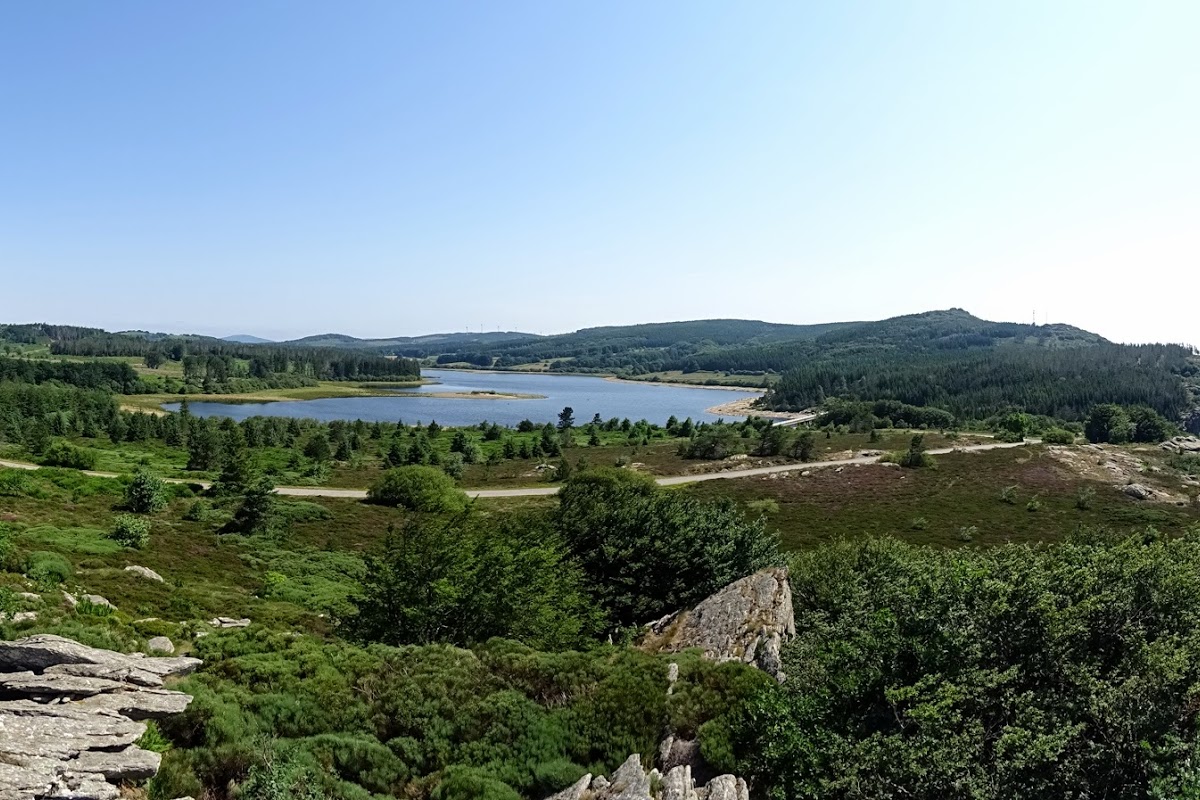
Challenging hike with a fairly steep first climb on the 1000-step path, leading to Lake Vézoles. Add a waterfall, river, and forest, for a winning formula.

Already more than 200,000 users!
Uphill
689m
Highest point
1002m
Downhill
689m
Lowest point
469m
Route type
Loop
Download the map on your smartphone to save battery and rest assured to always keep access to the route, even without signal.
Includes IGN France and Swisstopo.
I indicate whether dogs are allowed or prohibited on this trail
All year
0 ratings
Also enjoy:

Already more than 200,000 users!