Uphill
187m
Length
6km
Duration
2h
Elev gain
187m
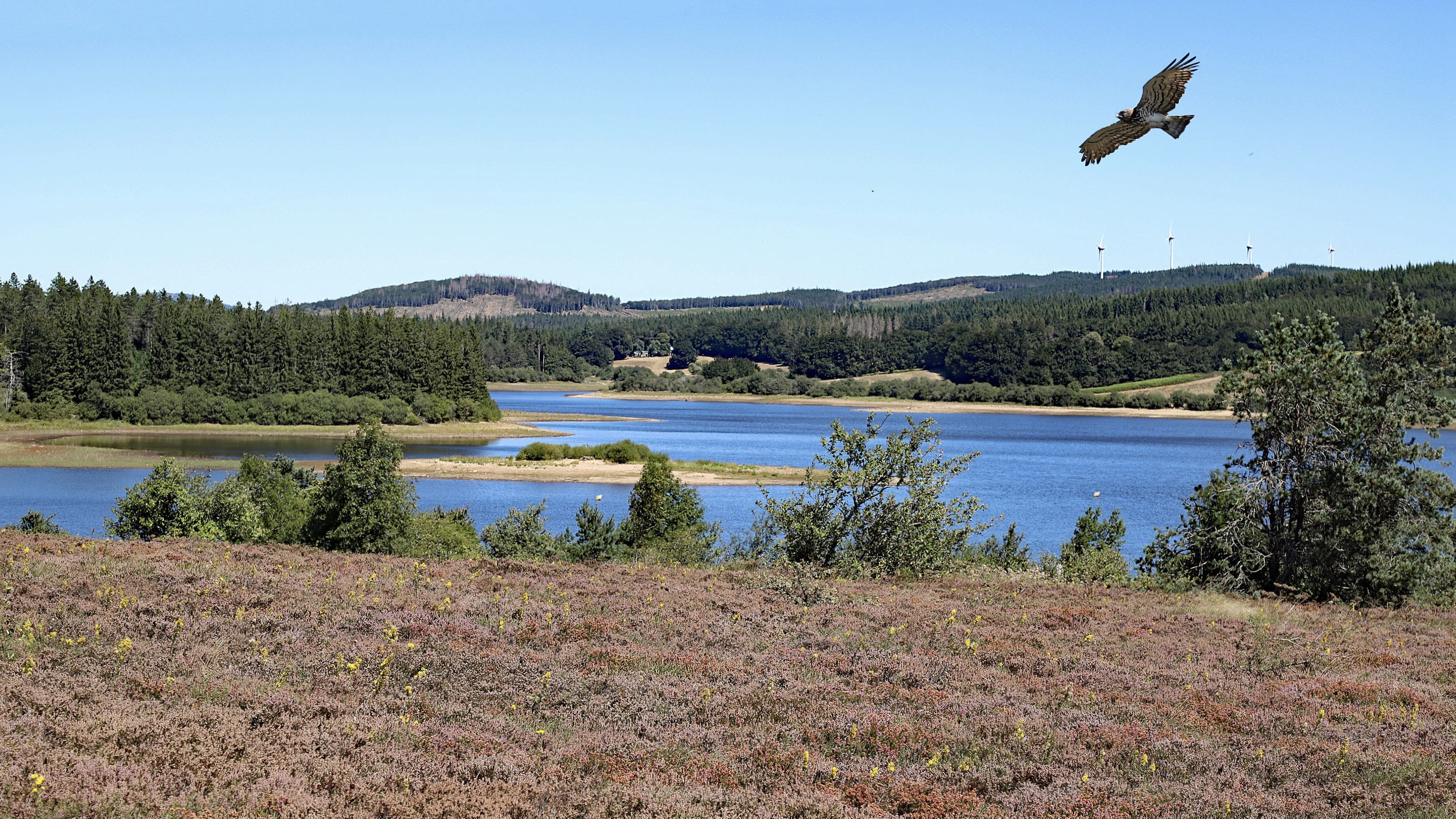
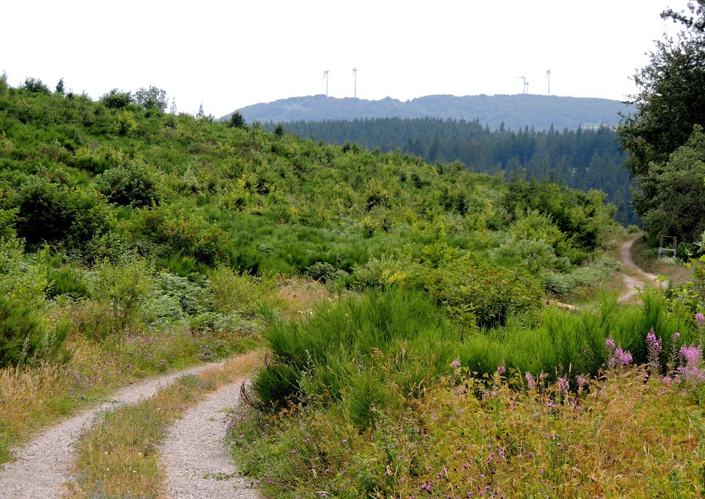
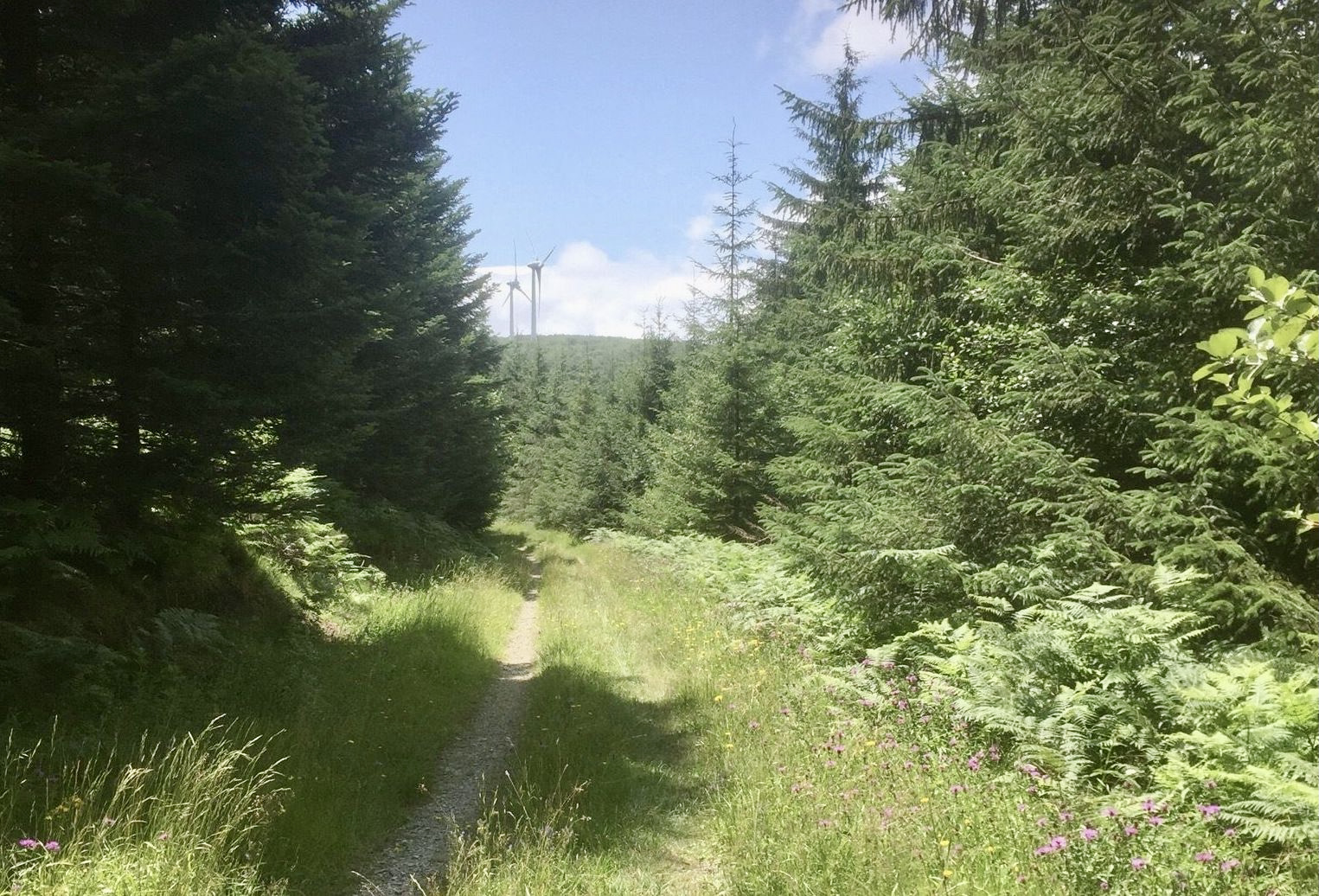
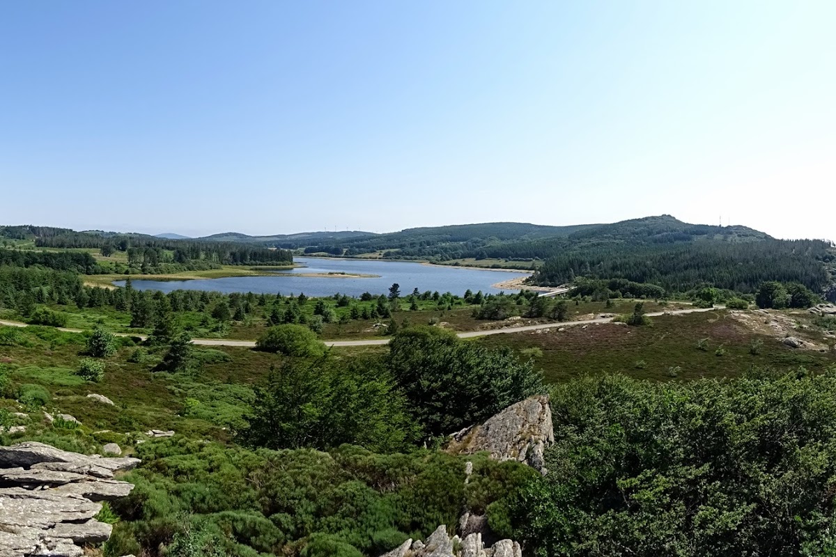
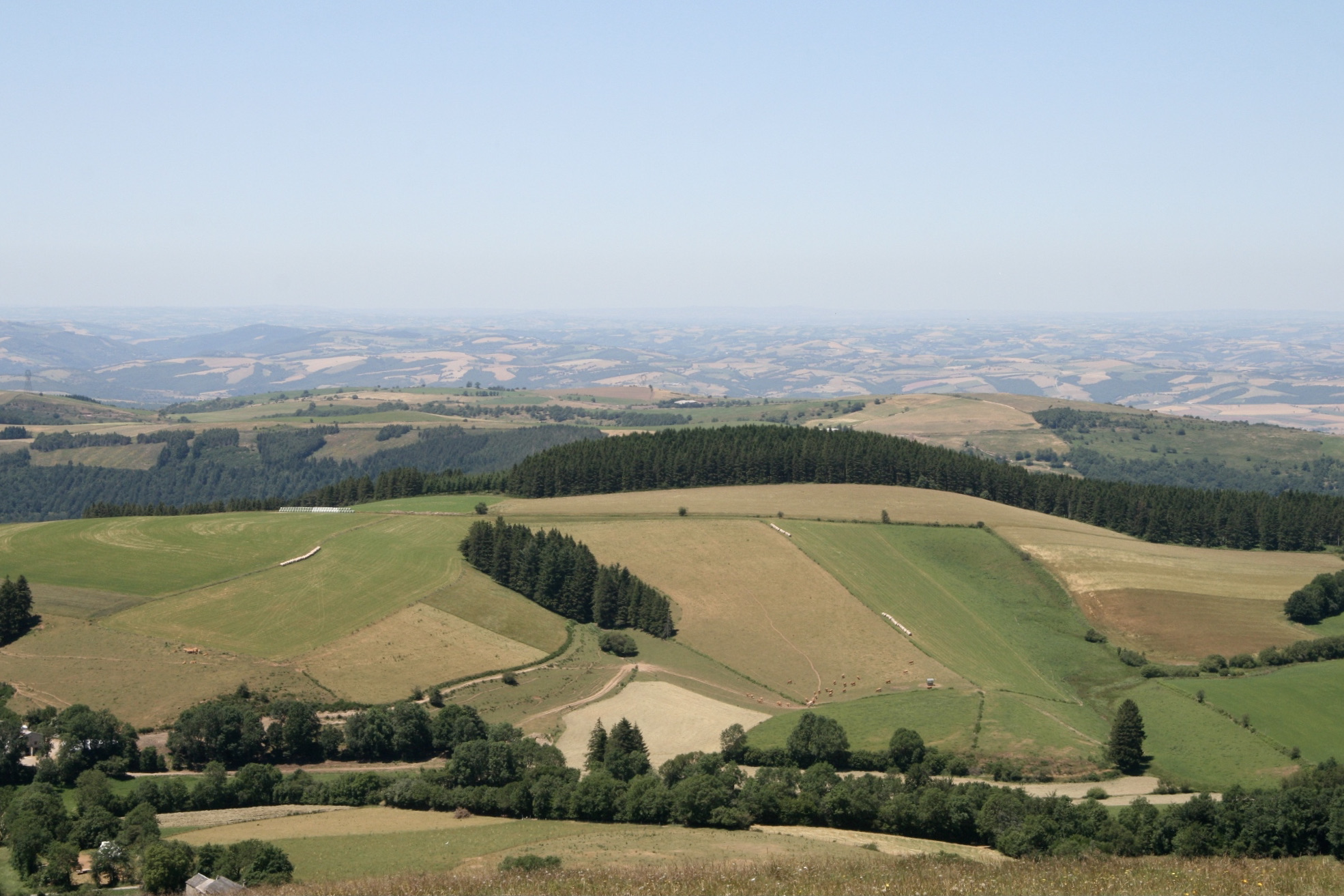
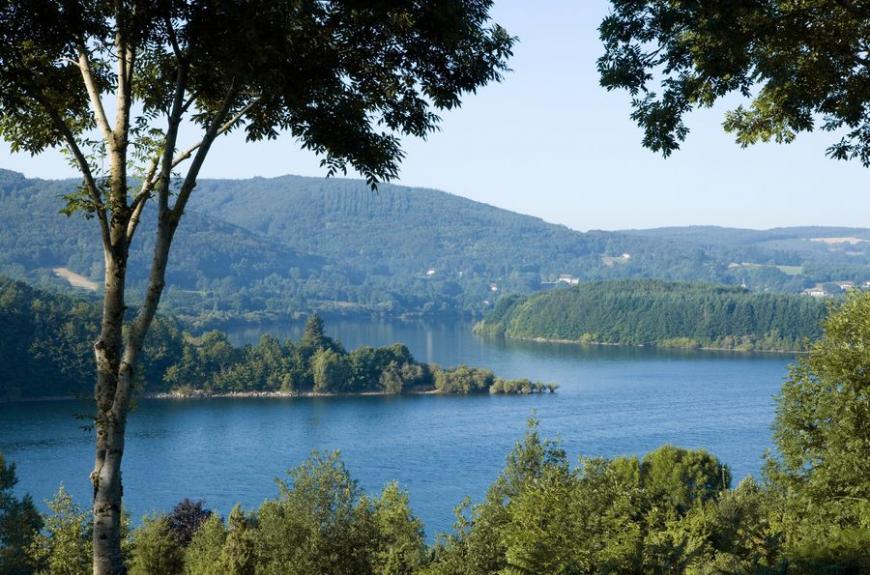
Starting from the village of Rieu Montagné, this route makes a loop on the heights of Lake Laouzas and passes by the peak of Rouayras (976m). Once at the top, the panorama is splendid.

Already more than 200,000 users!
Uphill
187m
Highest point
968m
Downhill
187m
Lowest point
784m
Route type
Loop
Download the map on your smartphone to save battery and rest assured to always keep access to the route, even without signal.
Includes IGN France and Swisstopo.
I indicate whether dogs are allowed or prohibited on this trail
Can be difficult in Winter
1 rating
Also enjoy:

Already more than 200,000 users!