Uphill
52m
Length
4km
Duration
1h
Elev gain
52m
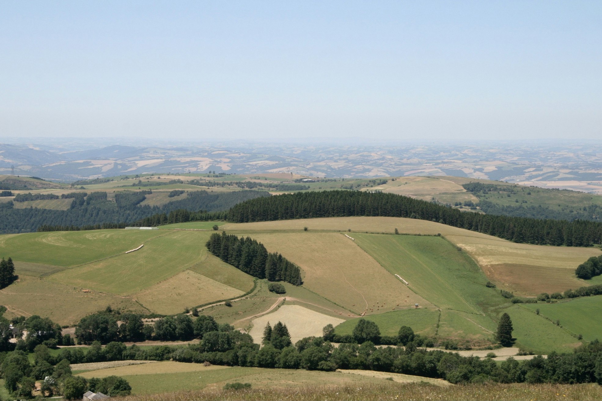
Departing from the village of Barre, this walk loops around Mont Barre and Gos, offering views of Espinouse, Levezou and the surrounding farmland.

Already more than 200,000 users!
Uphill
52m
Highest point
991m
Downhill
52m
Lowest point
928m
Route type
Loop
Download the map on your smartphone to save battery and rest assured to always keep access to the route, even without signal.
Includes IGN France and Swisstopo.
I indicate whether dogs are allowed or prohibited on this trail
Can be difficult in Winter
0 ratings
Also enjoy:

Already more than 200,000 users!


